
Lautoka
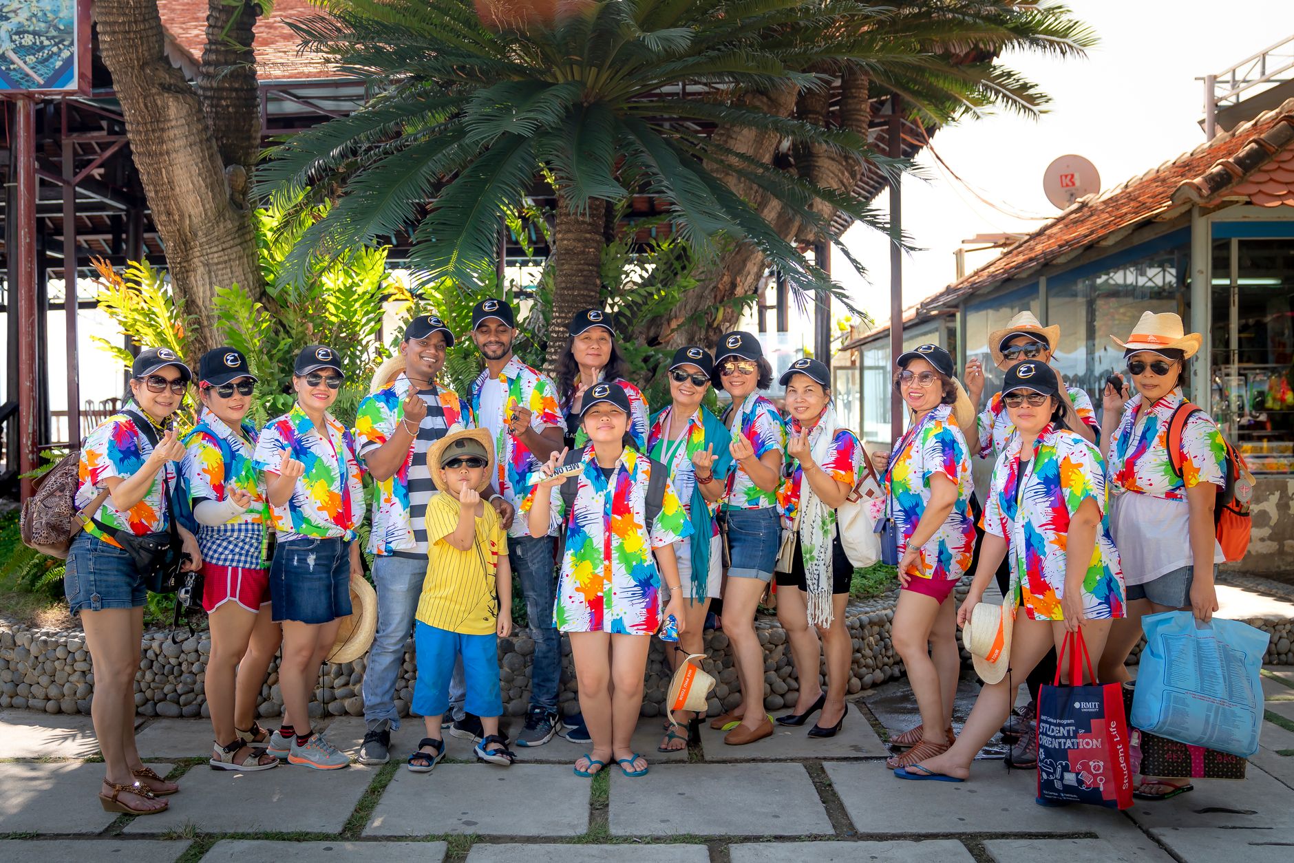
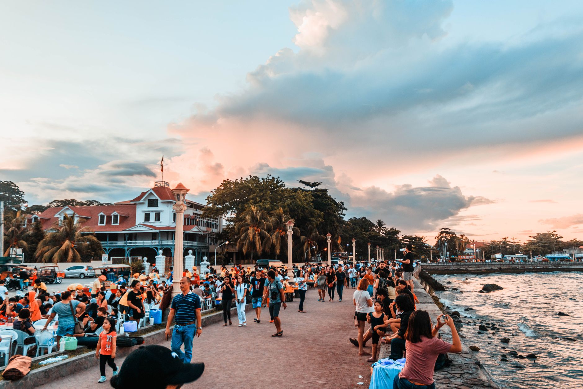

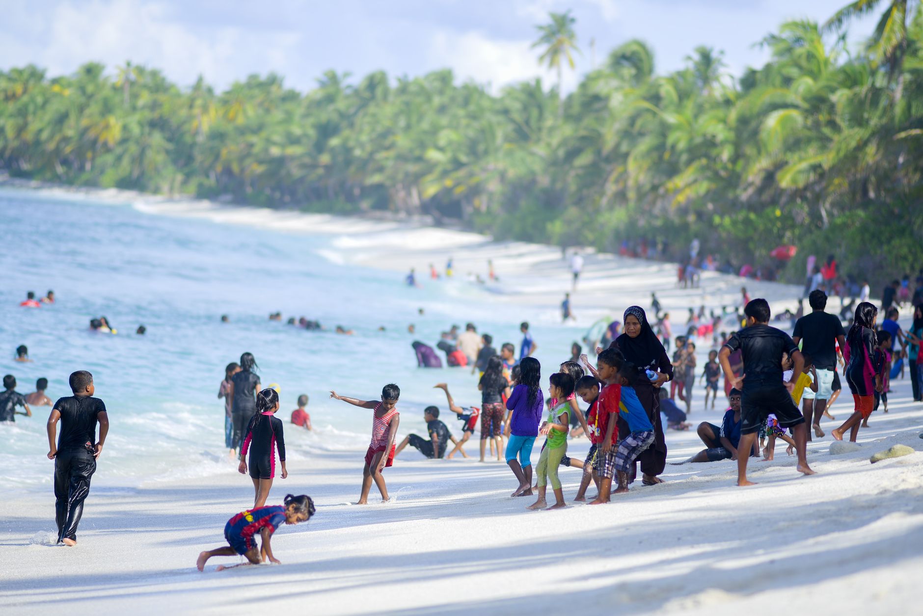

The name Lautoka comes from a moment of violence — a spear thrown between two chiefs, one crying out as it struck home. That origin story suits a city that has always been shaped by force and labour: the Colonial Sugar Refining Company arrived in 1899, and the mill that followed in 1903 still anchors the western edge of town, its chimneys visible from the market. Walk Vitogo Parade and you pass royal palms on one side and sari shops, hardware stores and curry houses on the other — a streetscape that tells you everything about how this city was built and by whom.
Fiji's second city sits on the western coast of Viti Levu, twenty minutes from Nadi Airport, and it moves at a pace that rewards wandering rather than ticking off sights. The municipal market alone — roughly 58,000 square metres of stalls selling kava root, tropical fruit and fresh fish — could absorb an entire morning.
💛 What travellers fall for
People who come back tend to arrive at the market early, before the heat settles in, and end up talking longer than planned. The Sri Krishna Kaliya Temple is worth timing for a Sunday midday puja or for the last light before dusk, when the painted sculptures catch the golden hour in a way that photographs rarely do justice to.
Deals in Lautoka
Book directly at the provider

How Lautoka came to be
Captain William Bligh charted this coastline on 7 May 1789, sailing hard for Timor after the Bounty mutiny — Lautoka was a dot on his troubled passage, nothing more. Real settlement came a century later, when the Colonial Sugar Refining Company applied to build a wharf in 1899. The mill followed in 1903, constructed by workers brought from India and the Solomon Islands under indenture — a system that would define the city's character long after it ended.
Lautoka was incorporated as a town in 1929 and proclaimed a city on 25 February 1977. During the Second World War, the US Navy established a base here as part of Naval Base Fiji. In 2012, it became the administrative capital of the Western Division — a formal acknowledgement of a weight it had carried for decades.
Who and what shaped it
People who shaped it
Landmark buildings
See Lautoka in motion
Plan your visit
On the map
When to go
Lautoka is genuinely wet — nearly 1,900 mm of rain a year, with January through April and December bringing the heaviest falls and a real cyclone risk from November to April. May to September is measurably drier and a degree or two cooler, with July typically the driest month; that's the window most visitors find easiest.
Right now
Background & history adapted from Wikipedia (CC BY-SA) · specs from Wikidata (CC0) · weather from Open-Meteo · map data © OpenStreetMap contributors · photos from Wikimedia Commons / Unsplash with per-image credit. No third-party reviews or social posts reproduced.