
Las Rozas de Madrid
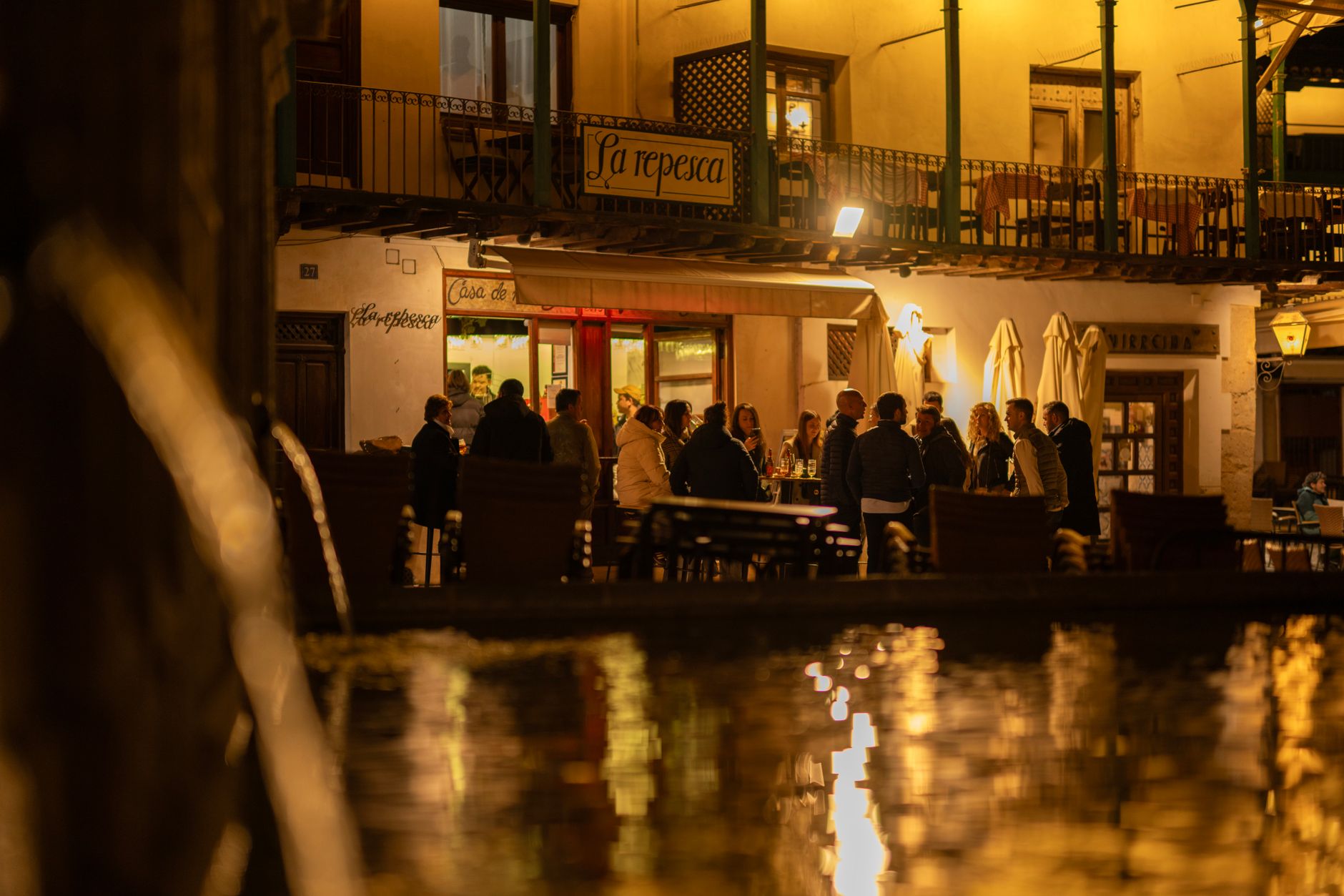
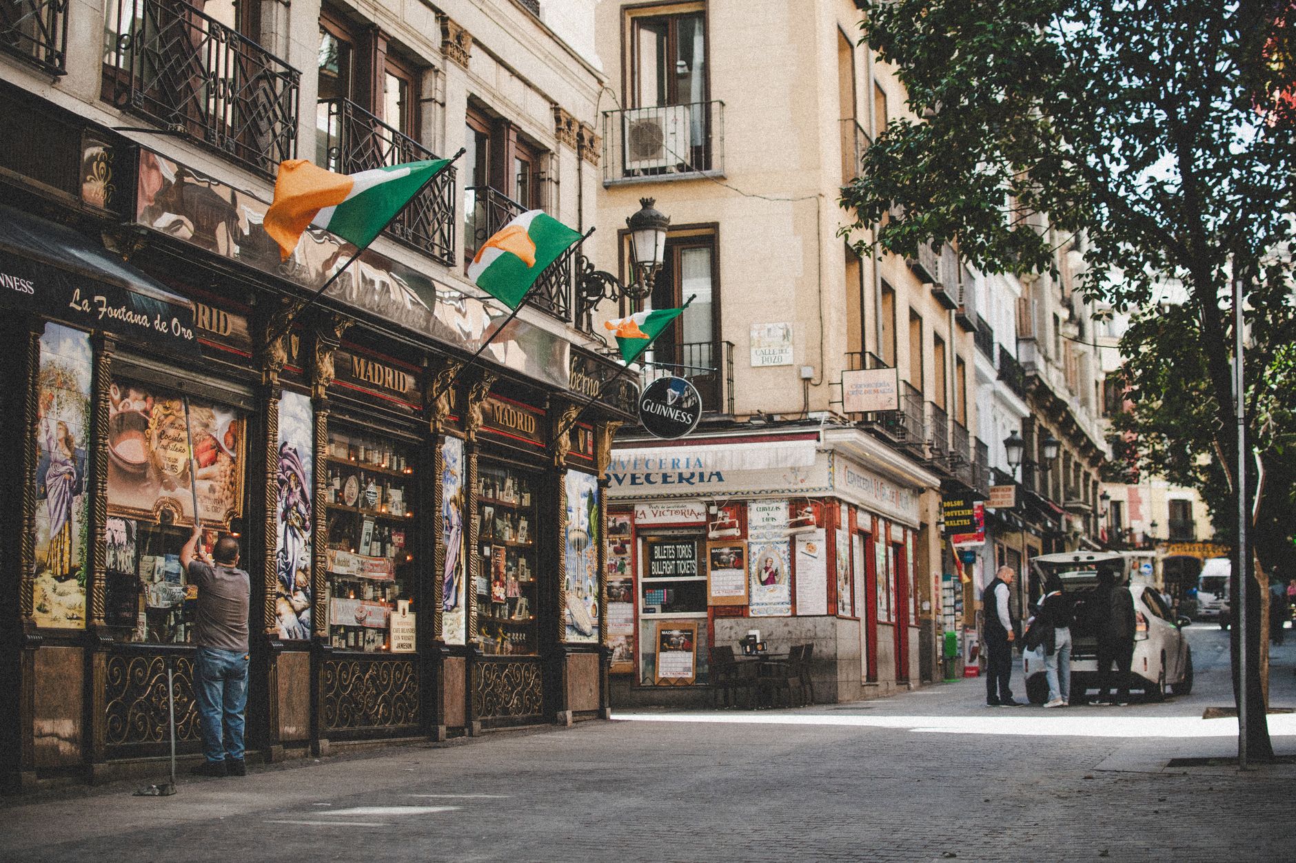
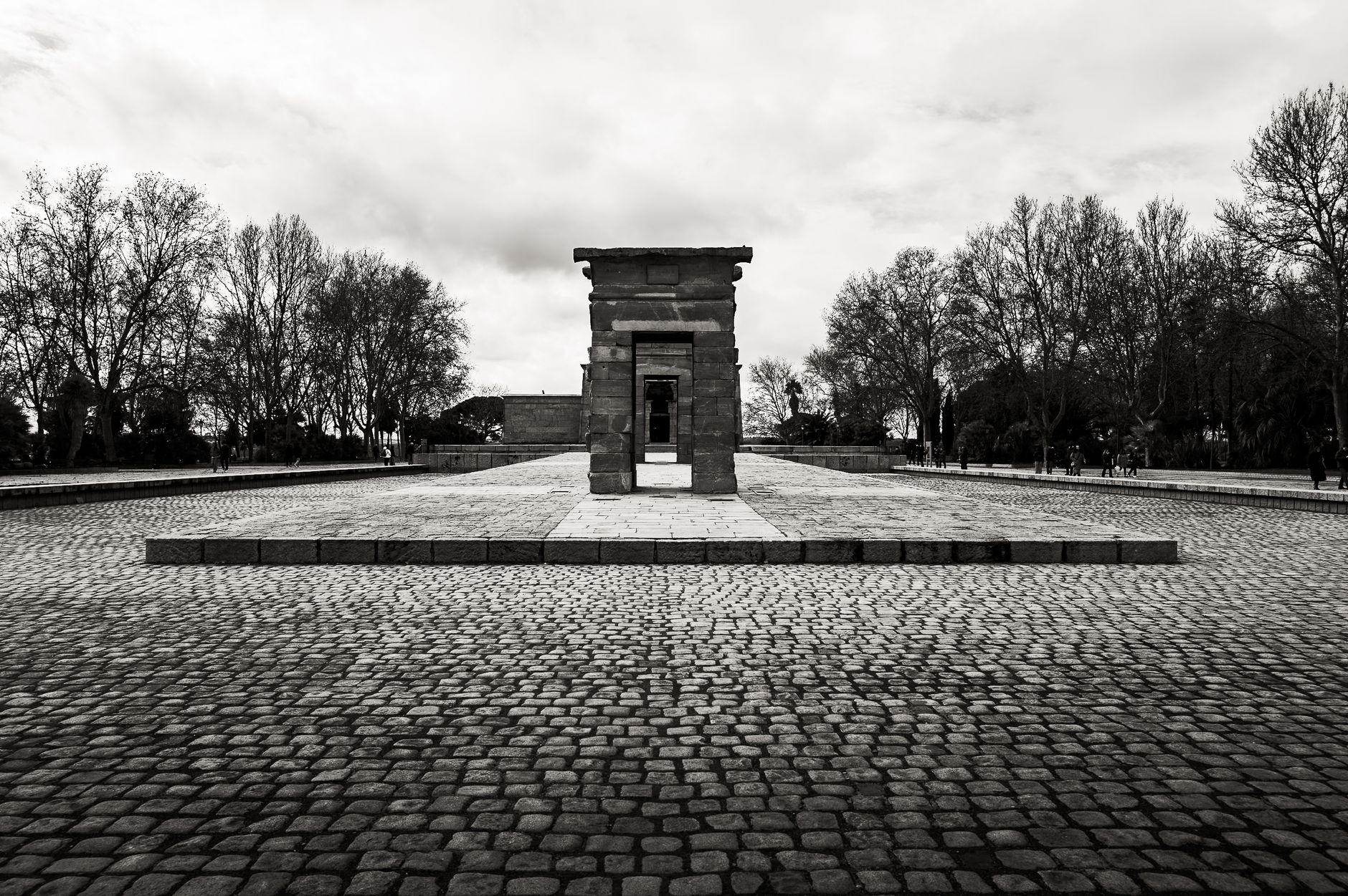
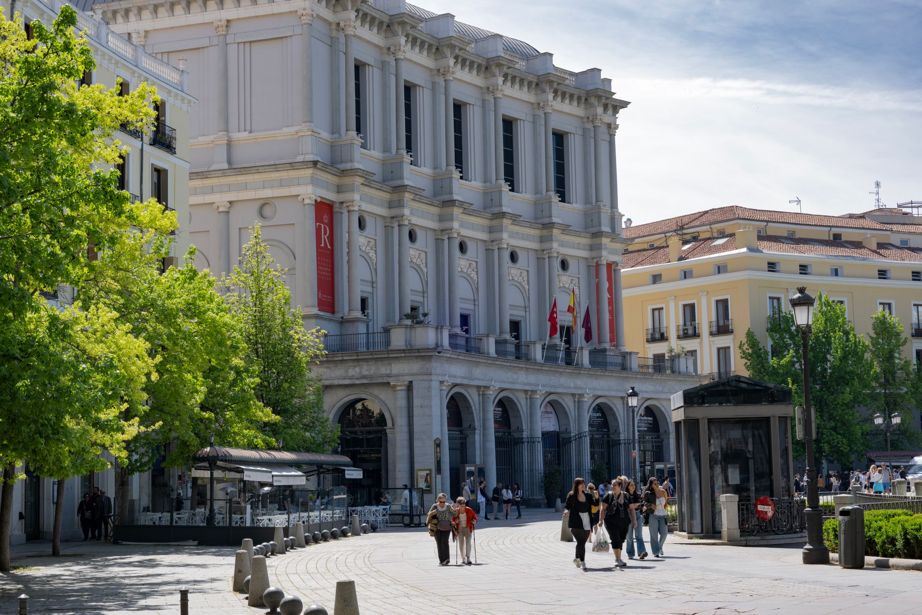
The seven granite arches of the Puente del Retamar have spanned the Guadarrama River since the 18th century, and they still carry the weight of the place's story better than anything else here: old stone, running water, and the Sierra de Guadarrama sitting on the horizon like a promise.
Las Rozas de Madrid is the kind of town that grew fast and is still figuring out what it is — a municipality of roughly 100,000 people that went from a farming village to a Madrid commuter town in a single generation. The old quarter around the rebuilt church of San Miguel Arcángel remembers one version of the place; the outlet shopping and the Spanish national football team's headquarters speak to another.
💛 What travellers fall for
People who come back tend to head straight for the Dehesa de Navalcarbón, where Civil War bunkers and trenches sit half-swallowed by scrub pine. It's an odd, quiet walk — history underfoot, the city invisible. Then a coffee in the old town before the train back to Chamartín.
Experiences you don't want to miss


Deals in Las Rozas de Madrid
Book directly at the provider


How Las Rozas de Madrid came to be
The first written record of Las Rozas dates to 1376, though some historians point to a possible Roman staging post called Miacum nearby — a claim that remains speculative. What is certain is that the town grew in the 16th century on the back of Madrid's rise as the capital and the construction of El Escorial, supplying both with agricultural produce along the ancient road that once linked Segovia to Titulcia.
In 1755, King Ferdinand VI granted Las Rozas the title of Villa, cutting its administrative ties to Madrid. The Spanish Civil War left deep marks: the western approaches to Madrid saw some of the conflict's bloodiest fighting in the winter of 1936, and the church of San Miguel Arcángel was destroyed and later rebuilt. The real transformation came after 1967, when the A-6 freeway opened and Las Rozas began its decades-long sprint from a village of 6,000 to a city of 100,000.
Who and what shaped it
Landmark buildings
See Las Rozas de Madrid in motion
Plan your visit
On the map
When to go
Summers run hot and dry — July averages 34°C by day with nearly 12 hours of sun and almost no rain, so mornings are your friend outdoors. Winters are genuinely cold, with January nights dropping to around 1°C and weak afternoon light; May and June offer the most comfortable balance of warmth and greenery.
Background & history adapted from Wikipedia (CC BY-SA) · specs from Wikidata (CC0) · weather from Open-Meteo · map data © OpenStreetMap contributors · photos from Wikimedia Commons / Unsplash with per-image credit. No third-party reviews or social posts reproduced.