
Lantau Island
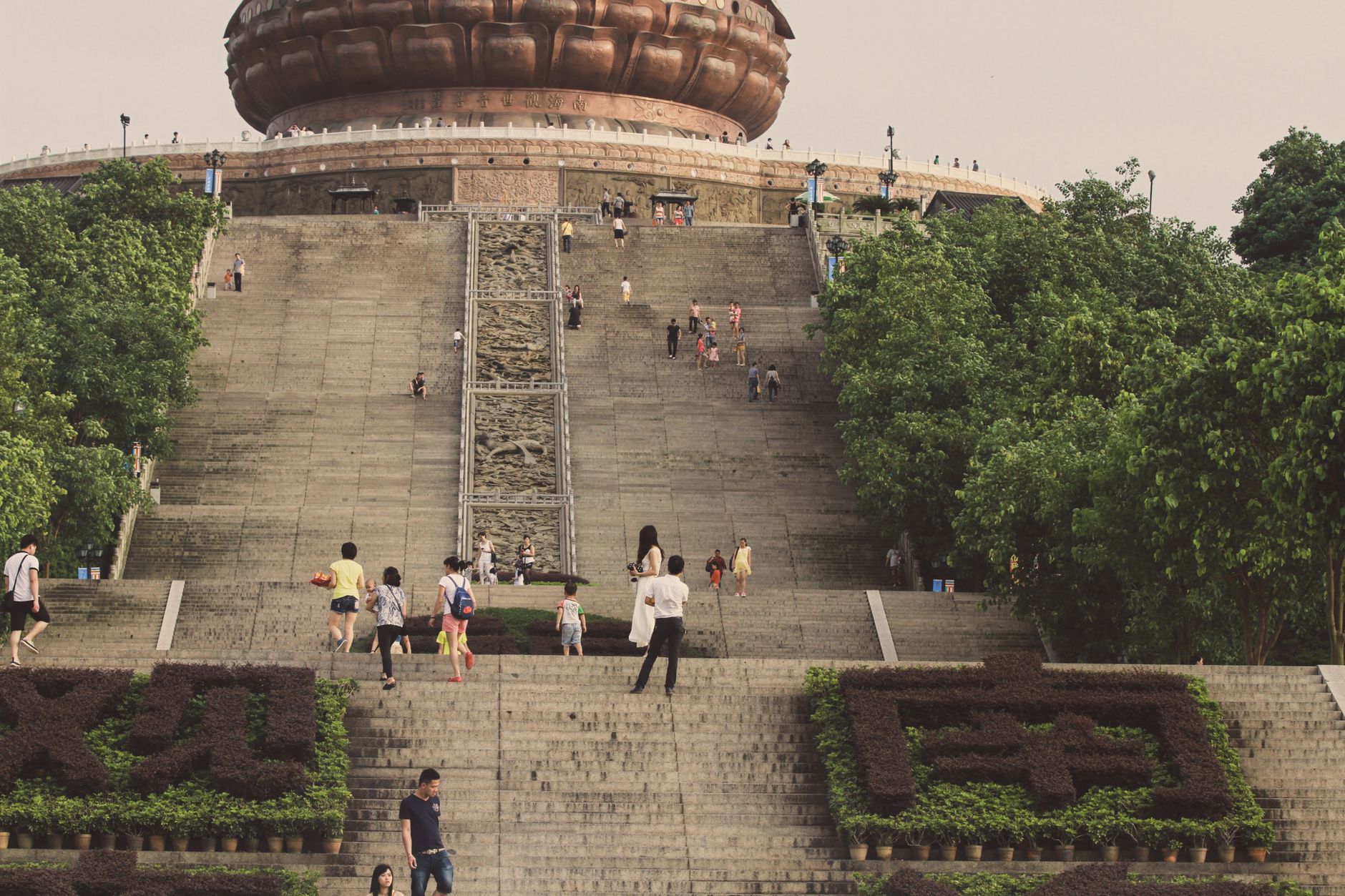
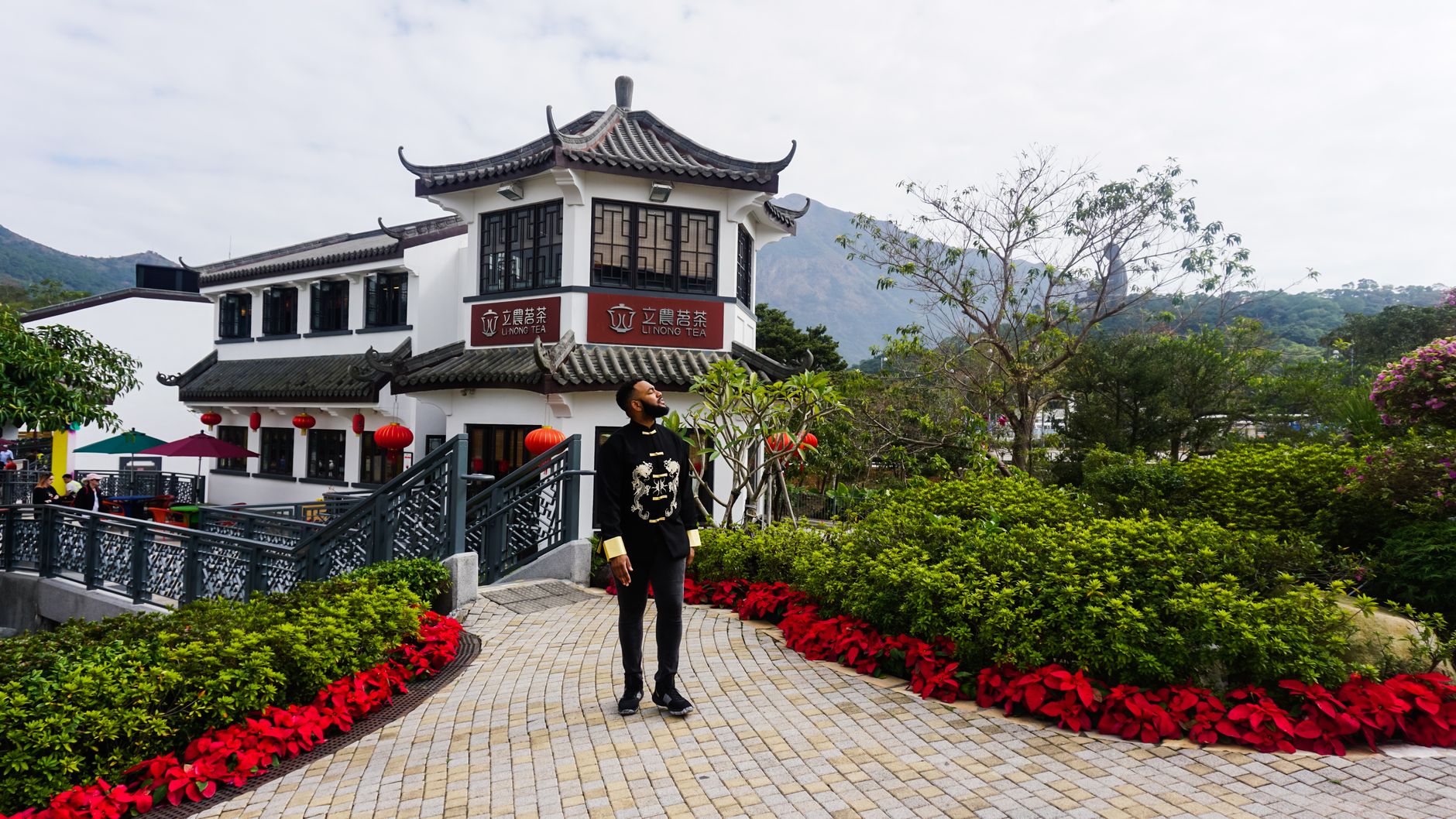
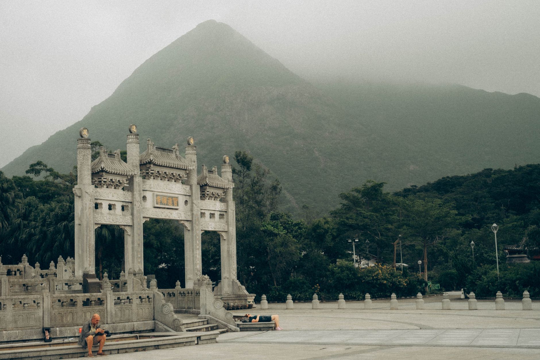
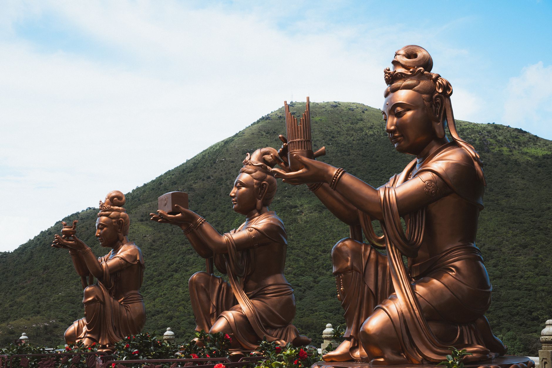
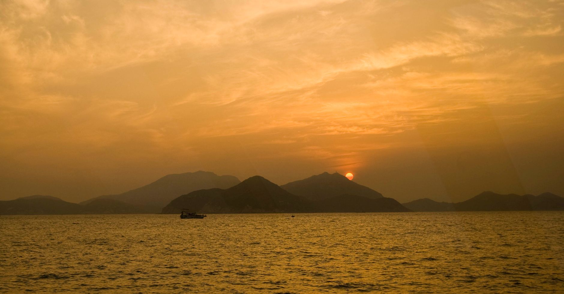
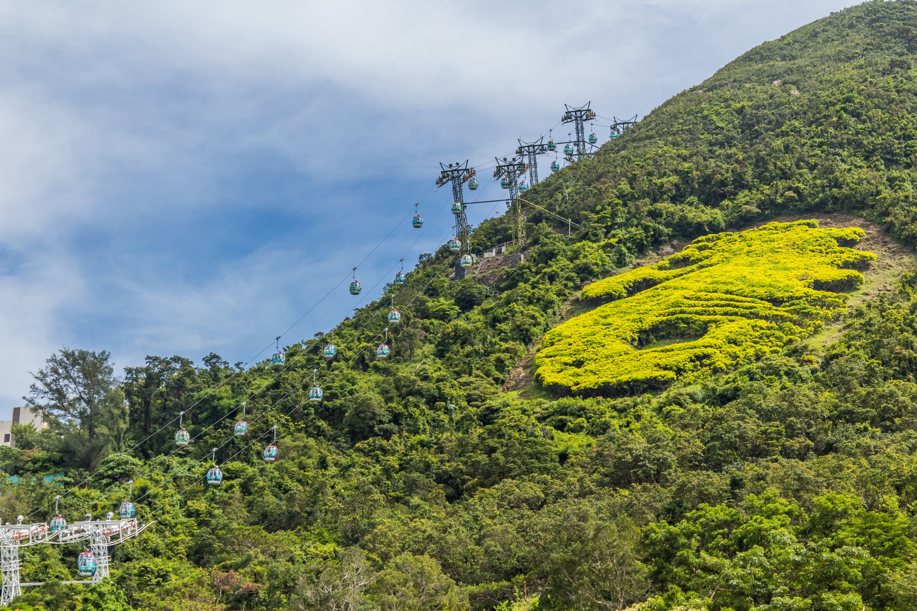
Lantau is larger than Hong Kong Island itself, and most of it is country park — ridgelines, reservoir paths, and coastline where the South China Sea comes in quiet. On the northwestern edge, Tai O still runs on stilts above tidal channels, its pang uk houses rebuilt after a fire in 2000 but otherwise stubborn in their age. On the plateau above, a 34-metre bronze Buddha sits on Ngong Ping hill, visible from the cable car that crosses the water in twenty minutes of open sky.
The island holds a lot at once: an international airport, a Disney resort, a Trappist monastery on a forested east-coast slope, Bronze Age rock carvings at Shek Pik. None of it quite cancels the others out.
💛 What travellers fall for
People who come back tend to take the slow ferry from Central rather than the MTR — fifty-five minutes on the water for HK$14.50, and you arrive at Mui Wo with the whole southern island ahead of you. The blue taxis are cheaper than the red ones and can go anywhere on Lantau. Most visitors skip that detail and wait too long for a bus.
Deals in Lantau Island
Book directly at the provider

How Lantau Island came to be
People have been on Lantau longer than the city that now surrounds it. A stone circle at Fan Lau and rock carvings at Shek Pik put human presence here in the Neolithic and Bronze Ages respectively. The island's recorded history sharpens in 1276, when the remnants of the Southern Song court fled south and a nine-year-old boy was declared Emperor Duanzong somewhere on these shores. A court member named Yeung Leung-jit stayed loyal through that flight; in 1699, a temple was built at Tai O in his memory — it still stands.
The 19th century brought a different kind of pressure. Tung Chung Fort was constructed in 1817 from granite, fitted with six cannons, and aimed at opium traders and pirates moving through the Pearl River Delta. In 1906, three monks from Jiangsu province climbed to the Ngong Ping plateau and founded what would become Po Lin Monastery. The 20th century closed with the Lantau Link, the airport, and a new town at Tung Chung arriving in quick succession — a complete remaking of the island's north, while much of the south stayed as it was.
Who and what shaped it
People who shaped it
Landmark buildings
See Lantau Island in motion
Plan your visit
On the map
When to go
Winters (November to March) are the most comfortable for walking — cool and often clear, with good visibility across the water. Summer brings heat, high humidity, and the real possibility of typhoons; the cable car closes when winds pick up, and trail conditions can deteriorate fast.
Right now
Background & history adapted from Wikipedia (CC BY-SA) · specs from Wikidata (CC0) · weather from Open-Meteo · map data © OpenStreetMap contributors · photos from Wikimedia Commons / Unsplash with per-image credit. No third-party reviews or social posts reproduced.