
La Roque-Gageac
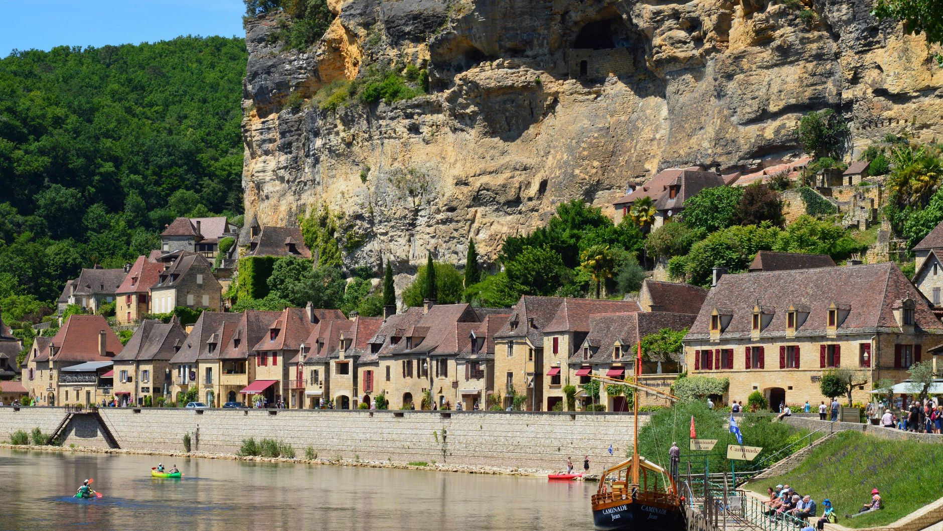
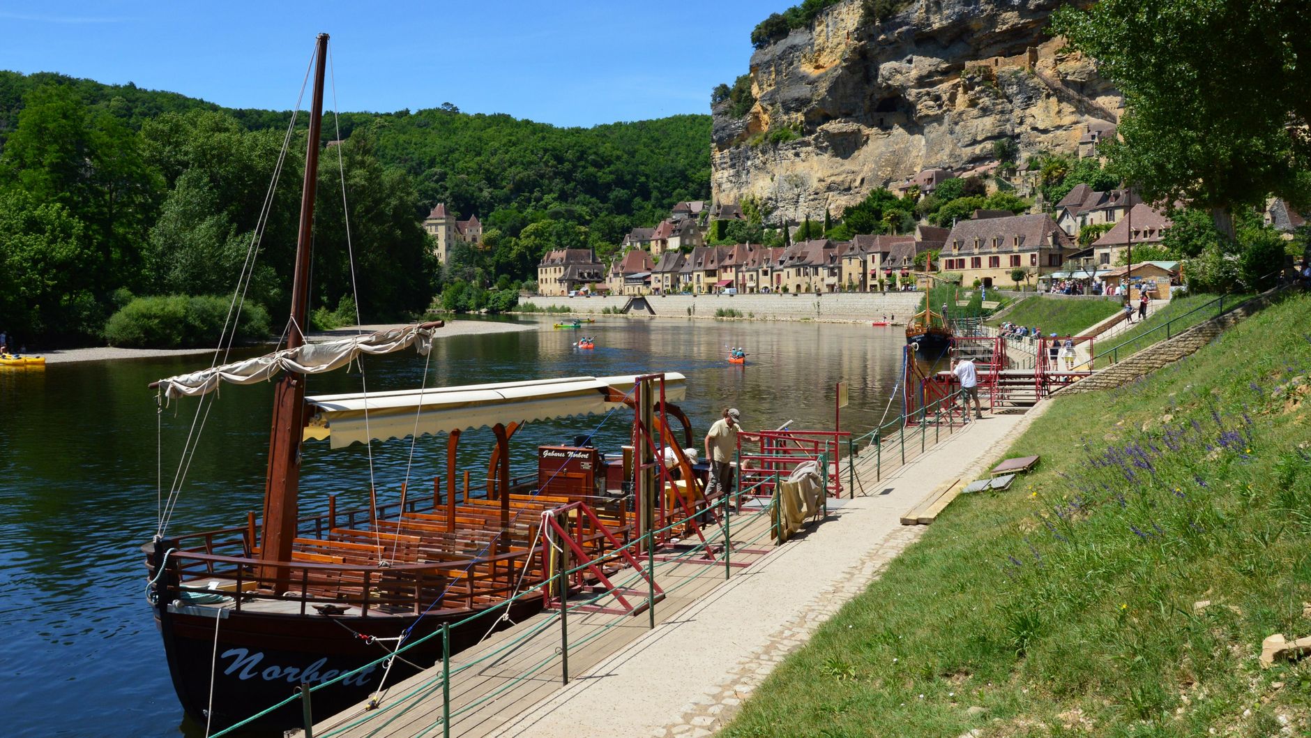
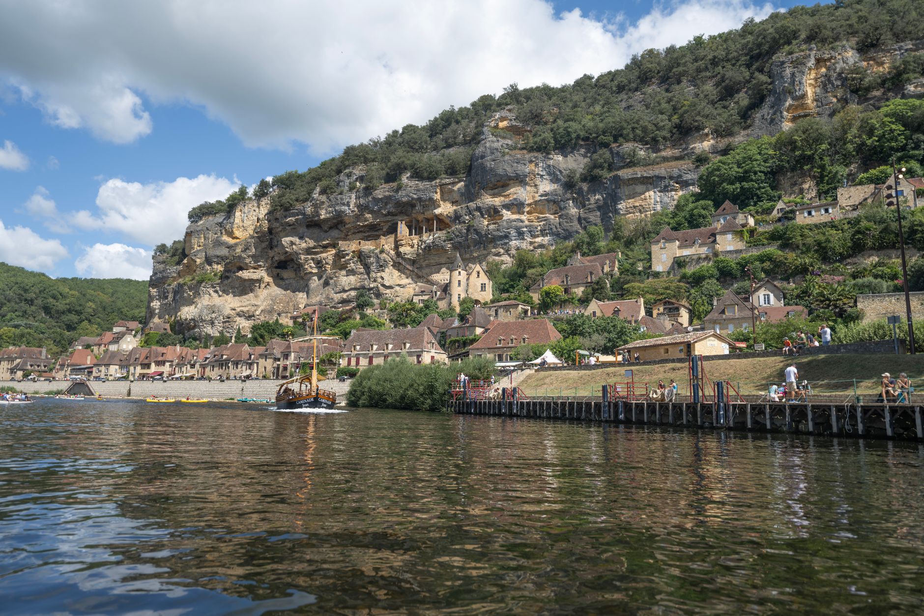
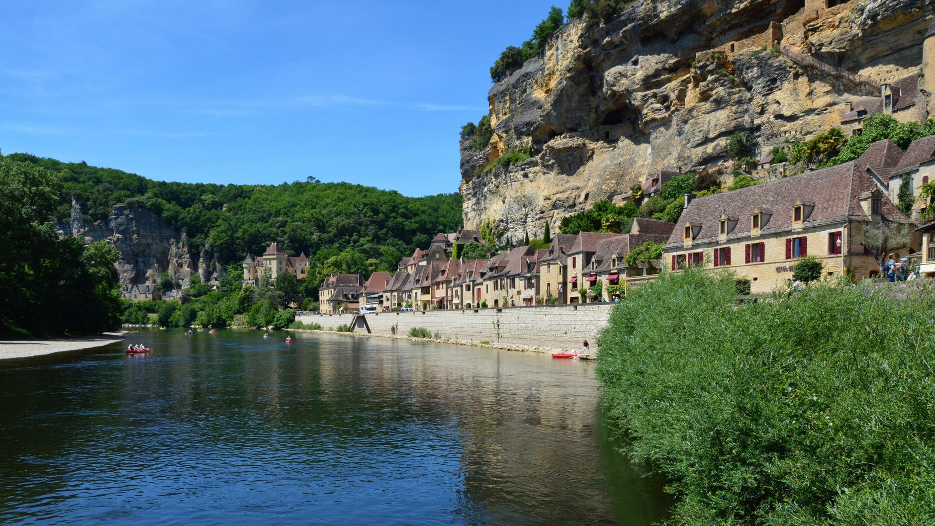
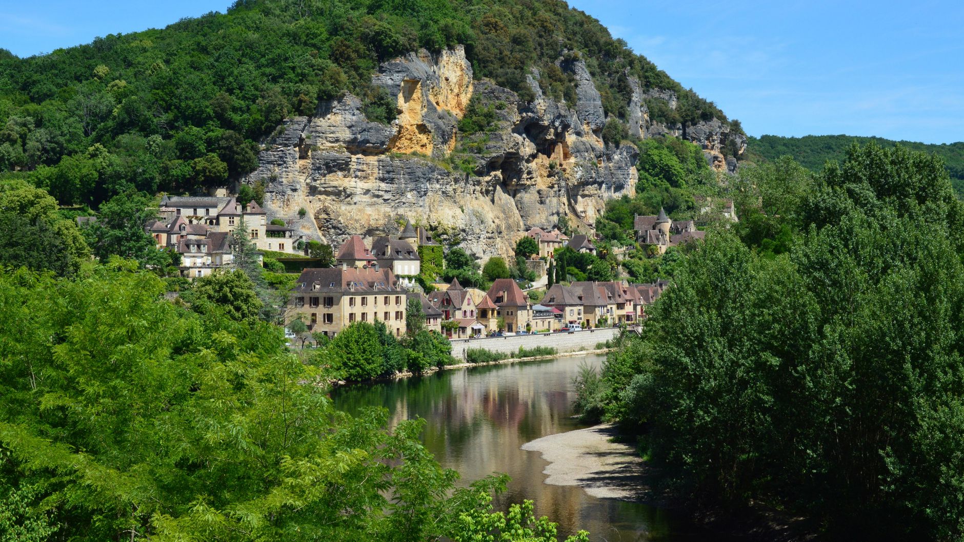
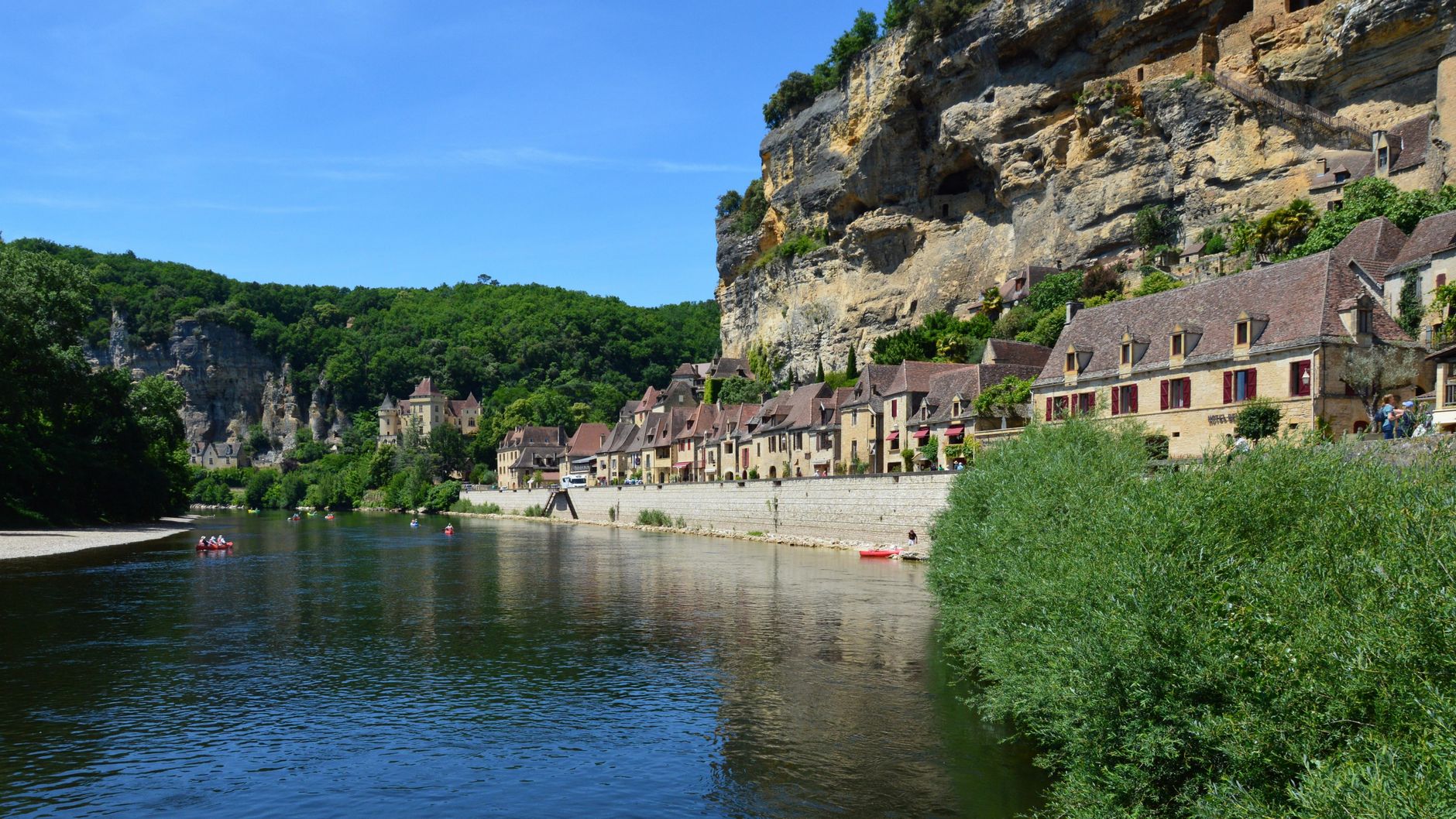
La Roque-Gageac presses itself against a limestone cliff above the Dordogne, its single street curving with the river for about four hundred metres. The cliff does most of the work: it blocks the north wind, catches the southern sun, and creates a microclimate warm enough that palms and banana trees grow mid-cliff beside the parish church. From the water, the village looks almost theatrical — pale stone houses stacked under an overhang — and the gabarre boats that drift past are deliberate replicas of the flat-bottomed barges that carried salt and wine downriver until the last one sailed in the 1920s.
At its medieval peak the village held around 1,500 people. Today it has 415, and the single street fills and empties with the rhythm of the season rather than any permanent crowd.
💛 What travellers fall for
People who come back tend to say the same thing: arrive late afternoon, when the tour groups thin out and the light hits the cliff straight on. Park early and walk the full length of the riverside street before doubling back. The gabarre cruise earns its hour — the village reads completely differently from the water.
Experiences you don't want to miss


Deals in La Roque-Gageac
Book directly at the providerHow La Roque-Gageac came to be
The suffix in 'Gageac' comes from the Latin '-iacus', marking an ancient Roman domain, possibly belonging to a man named Gallus. In the 9th century, monks from the Abbey of Sarlat-la-Canéda settled here and began fortifying the site. The troglodytic fort — partly carved into a natural limestone cleft — was built around 1280 and added to through the 17th century before being dismantled in the 18th.
On 17 January 1957, a section of cliff collapsed; the sound carried more than ten kilometres and three people died. The landslide weakened the fort, whose roof partially gave way in 2010, closing the site. Restoration began under Jean-Max Touron in 2019, and the fort reopened in June 2020. The village earned its place on the 'Most Beautiful Villages of France' list in 1982.
Who and what shaped it
People who shaped it
Landmark buildings
See La Roque-Gageac in motion
Plan your visit
On the map
When to go
The south-facing cliff creates a genuinely sheltered microclimate — mean July temperatures around 21°C, mild enough to make the exotic garden's palms and cacti feel less incongruous than they look. Winters are cool rather than harsh (January averages 5°C), and April is the wettest month, so late spring through early autumn gives you the most reliable light and warmth.
Right now
Background & history adapted from Wikipedia (CC BY-SA) · specs from Wikidata (CC0) · weather from Open-Meteo · map data © OpenStreetMap contributors · photos from Wikimedia Commons / Unsplash with per-image credit. No third-party reviews or social posts reproduced.