
Kreuzberg
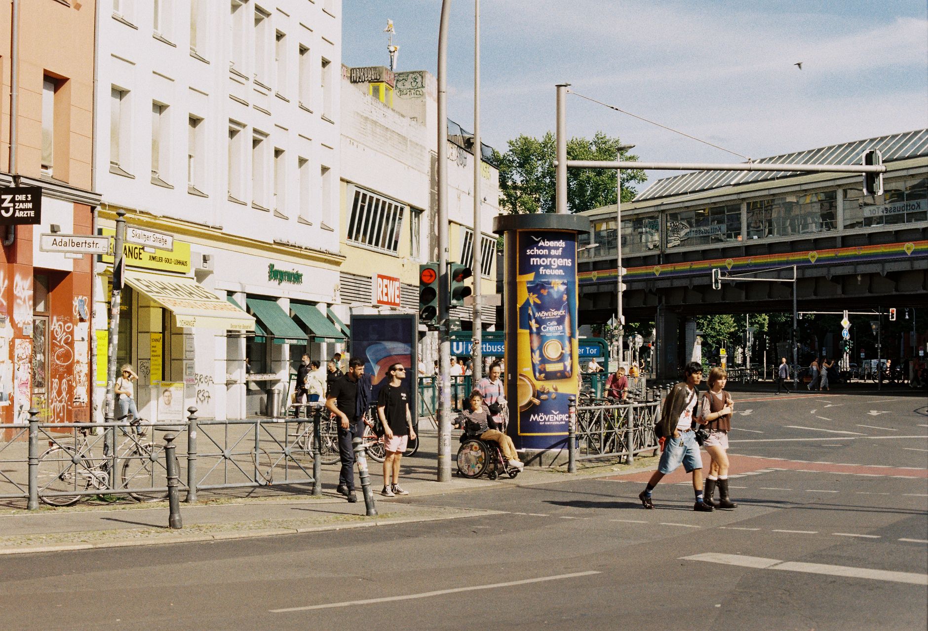
The hill that gave Kreuzberg its name rises 66 metres above the city in Viktoriapark, and at the top stands a cast-iron monument Schinkel designed in 1821 to mark the Liberation Wars. Most people walk past it on the way to the real waterfall below. That combination — the formal and the improvised, the historical weight and the easy afternoon — runs through the whole district.
Kreuzberg is where the Berlin Wall once sealed off a neighbourhood at its edges, where tenement blocks from the 1860s survived Allied bombing and Cold War poverty to become some of the best-preserved 19th-century streetscapes in the city. The Landwehrkanal cuts through the south; Checkpoint Charlie sits in the north. It holds a lot of history without making a ceremony of it.
💛 What travellers fall for
Return visitors tend to anchor themselves along Bergmannstraße for the morning, then follow the canal south toward Maybachufer in the afternoon. The Bethanien courtyard is worth knowing about — a former hospital turned art space that still carries the atmosphere of its squatter years. St. Agnes, the Brutalist former church now run as a gallery by Johann König, surprises people every time.
Deals in Kreuzberg
Book directly at the provider


How Kreuzberg came to be
Kreuzberg as an administrative district was created on 1 October 1920 under the Greater Berlin Act, which reorganised the city into twenty boroughs. It was renamed from Hallesches Tor to Kreuzberg the following year, taking its name from the hill — and the hill from Schinkel's monument. The dense tenement blocks that define much of the streetscape date from the 1860s, when rapid industrialisation drove speculative building and extreme overcrowding.
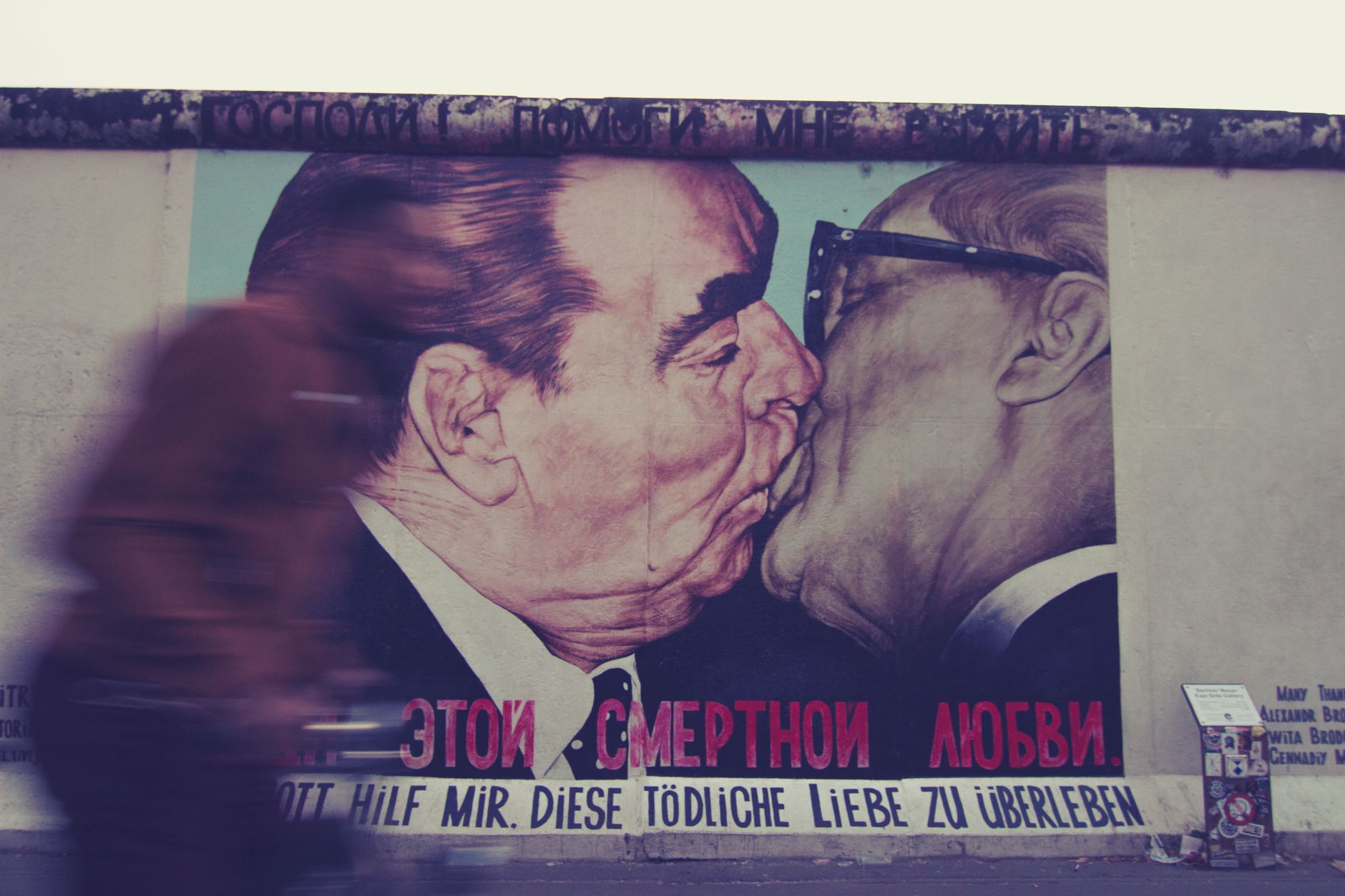
World War II destroyed 42% of the district's housing, and the construction of the Berlin Wall in 1961 left Kreuzberg stranded at the western edge of a divided city. Cheap rents drew Turkish guest workers, artists and political dissidents through the 1970s and 80s — David Bowie and Iggy Pop shared a flat here during that period. After 1989, the Wall's fall returned Kreuzberg to the centre of the city almost overnight.
Who and what shaped it
People who shaped it
Landmark buildings
See Kreuzberg in motion
Plan your visit
On the map
When to go
Summers are warm and dry enough to spend real time outdoors — canal-side tables fill from May onward. Winters are cold and grey, but the indoor museum circuit (the Jewish Museum, Berlinische Galerie, Deutsches Technikmuseum) makes the shorter days workable.
Right now
Background & history adapted from Wikipedia (CC BY-SA) · specs from Wikidata (CC0) · weather from Open-Meteo · map data © OpenStreetMap contributors · photos from Wikimedia Commons / Unsplash with per-image credit. No third-party reviews or social posts reproduced.