
Kizingo

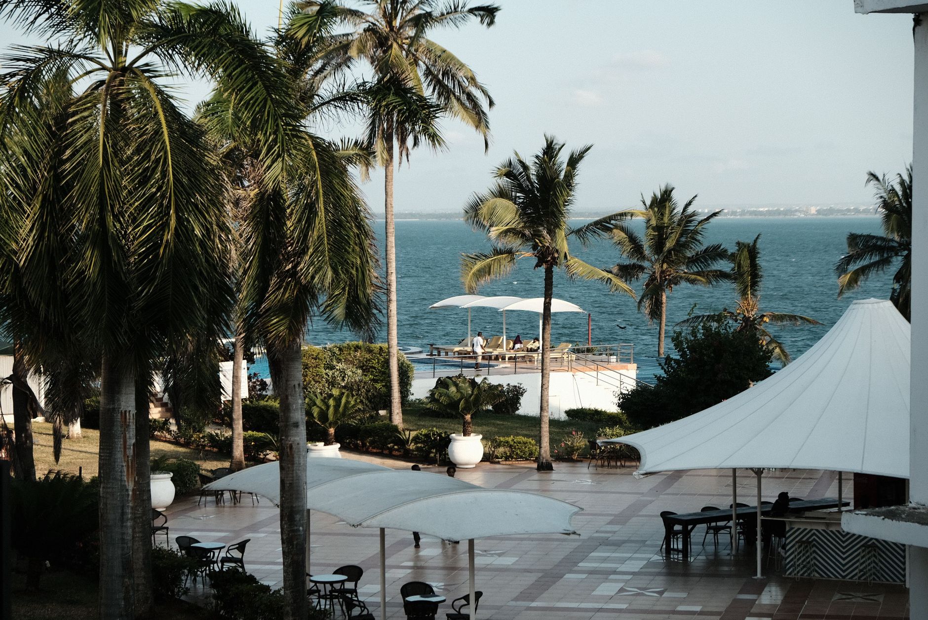
Kizingo sits at the southern tip of Mombasa Island, where the roads widen, the trees grow old and tall, and the Indian Ocean appears at the end of almost every street. It carries the quiet authority of a place that has always housed the people who run things — State House, the Law Courts, the Municipal Council all share this peninsula with gated villas and apartment blocks angled toward the water.
The suburb has the unhurried feel of an English garden estate transposed to the tropics, all mature canopy and generous plots, with Mama Ngina Drive tracing the coastline and the Aga Khan Academy complex watching over it from its hilltop. It is residential and institutional at once, a neighbourhood that works hard and then goes home.
💛 What travellers fall for
People who spend time here tend to gravitate toward Mama Ngina Drive at dusk, when the light off the ocean turns everything amber. Salaz BBQ comes up reliably for an unpretentious meal after a long day. The Mombasa Golf Club, whatever your relationship with golf, offers a green and genuinely breezy escape from the coastal humidity.
Deals in Kizingo
Book directly at the provider

How Kizingo came to be
The name Kizingo carries more weight than most neighbourhoods can claim — it was the original name for Mombasa Island itself before the city grew and the word contracted to a single district on the southern coast. In the 19th century, the area developed into one of the island's more prosperous residential estates, its wide roads and ocean frontage attracting the well-positioned and the well-connected.
By the late 1930s, Kizingo had taken on a strategic military dimension. On 28 June 1936, Commanding Royal Engineer Michael Biggs formally assumed responsibility for the construction of Kizingo Camp, the military installation that occupied the land roughly between what are now State House Mombasa and the Mombasa Golf Club. The camp was active into the early 1940s, after which the area gradually returned to its civic and residential character.
Who and what shaped it
People who shaped it
Landmark buildings
See Kizingo in motion
Plan your visit
On the map
When to go
The coast stays warm year-round, between 28°C and 33°C, but the humidity is a constant presence — peaking in November. January and February are the drier, more forgiving months; May is the wettest, with rain falling on roughly two out of every three days.
Right now
Background & history adapted from Wikipedia (CC BY-SA) · specs from Wikidata (CC0) · weather from Open-Meteo · map data © OpenStreetMap contributors · photos from Wikimedia Commons / Unsplash with per-image credit. No third-party reviews or social posts reproduced.