
Kiwengwa
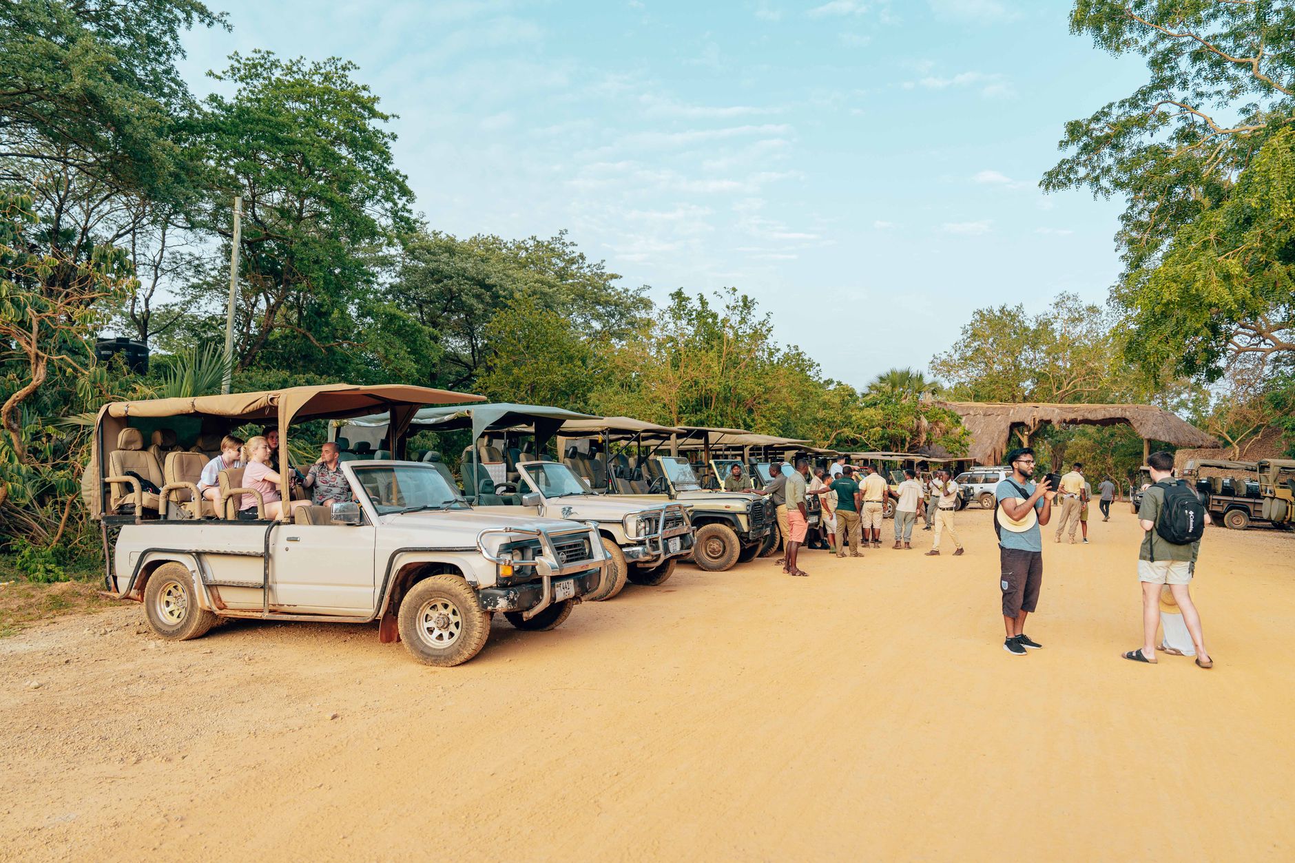
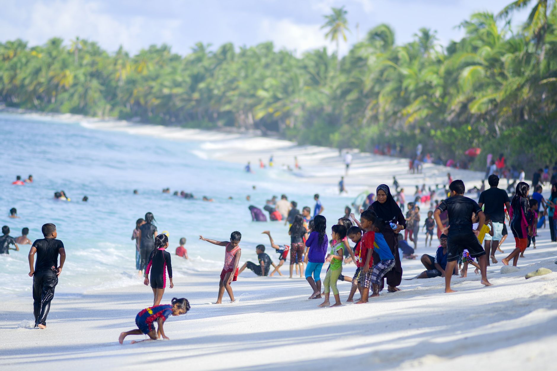
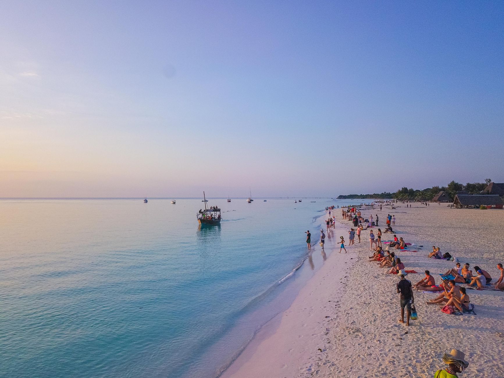
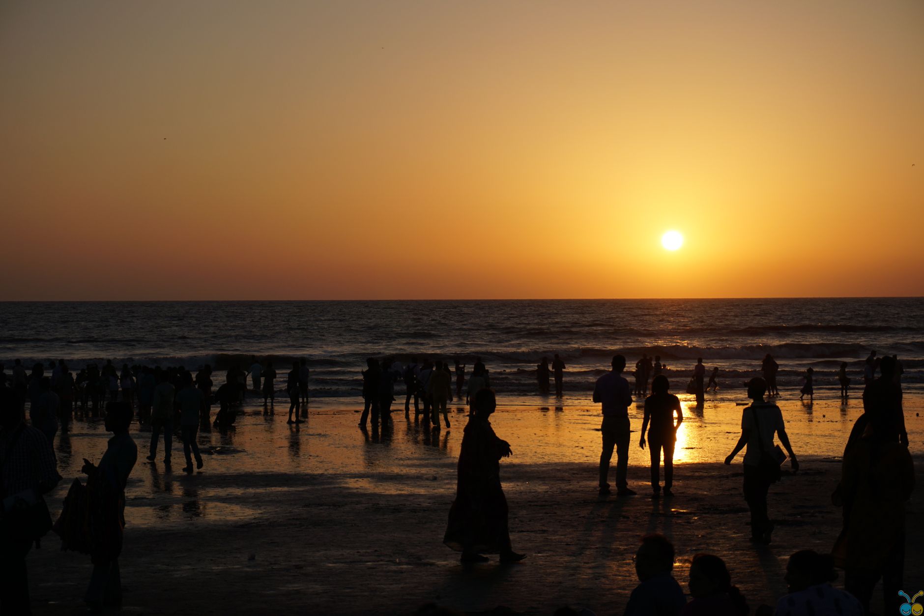
At low tide, the sea at Kiwengwa retreats more than five hundred metres, leaving behind a pale expanse of sand and exposed reef that stretches far enough to make the horizon feel rearranged. The beach — about five kilometres of it running along the northeast coast of Unguja — shifts its shape throughout the day, widening to two hundred and fifty metres when the water pulls back. It is the kind of place where the tides set the schedule, not the other way around.
Out in the shallows, women tend rows of seaweed tied to stakes just ten centimetres above the seabed, harvesting each tuft after two months of growth and leaving a portion to regrow. Fishermen work the same water. The Maasai pass along the shore carrying their rungu. Kiwengwa is quieter than its neighbours to the north, and that quiet is the point.
💛 What travellers fall for
People who come back tend to mention the same thing: go to the Kiwengwa Caves early, before the heat settles in. The stalagmites and natural chambers are a short trip north, and the contrast with the open beach is worth the effort. The spice farm at Bwa Mzee is a genuine half-day, not a quick stop.
Deals in Kiwengwa
Book directly at the provider


How Kiwengwa came to be
Kiwengwa sits between the villages of Pongwe and Pwani Mchangani on a stretch of coast that has long held significance beyond its shoreline. The caves north of the village were not tourist attractions first — they were places of worship, where locals brought offerings to holy stones and honoured their ancestors. That ritual relationship with the landscape predates the resort development that came later and reshaped the beach's identity.
The Kiwengwa-Pongwe Forest Reserve preserves the last remaining high coral rag forest in Zanzibar's northern reaches, a habitat that once covered far more of the island. The seaweed farming practised by women along the shore is a more recent livelihood, introduced as a sustainable alternative to fishing, and it has quietly become part of the visual rhythm of the beach itself.
Who and what shaped it
Landmark buildings
See Kiwengwa in motion
Plan your visit
On the map
When to go
January and February bring the kaskazi, a northeast wind of 20–30 km/h that can push seaweed onto the beach but keeps temperatures from becoming oppressive — daytime highs sit around 33°C in February, dropping to a more comfortable 29°C by July. April is the wettest month by a wide margin; aim for June through September if you want reliable sun and calmer seas.
Right now
Background & history adapted from Wikipedia (CC BY-SA) · specs from Wikidata (CC0) · weather from Open-Meteo · map data © OpenStreetMap contributors · photos from Wikimedia Commons / Unsplash with per-image credit. No third-party reviews or social posts reproduced.