
Kirtipur
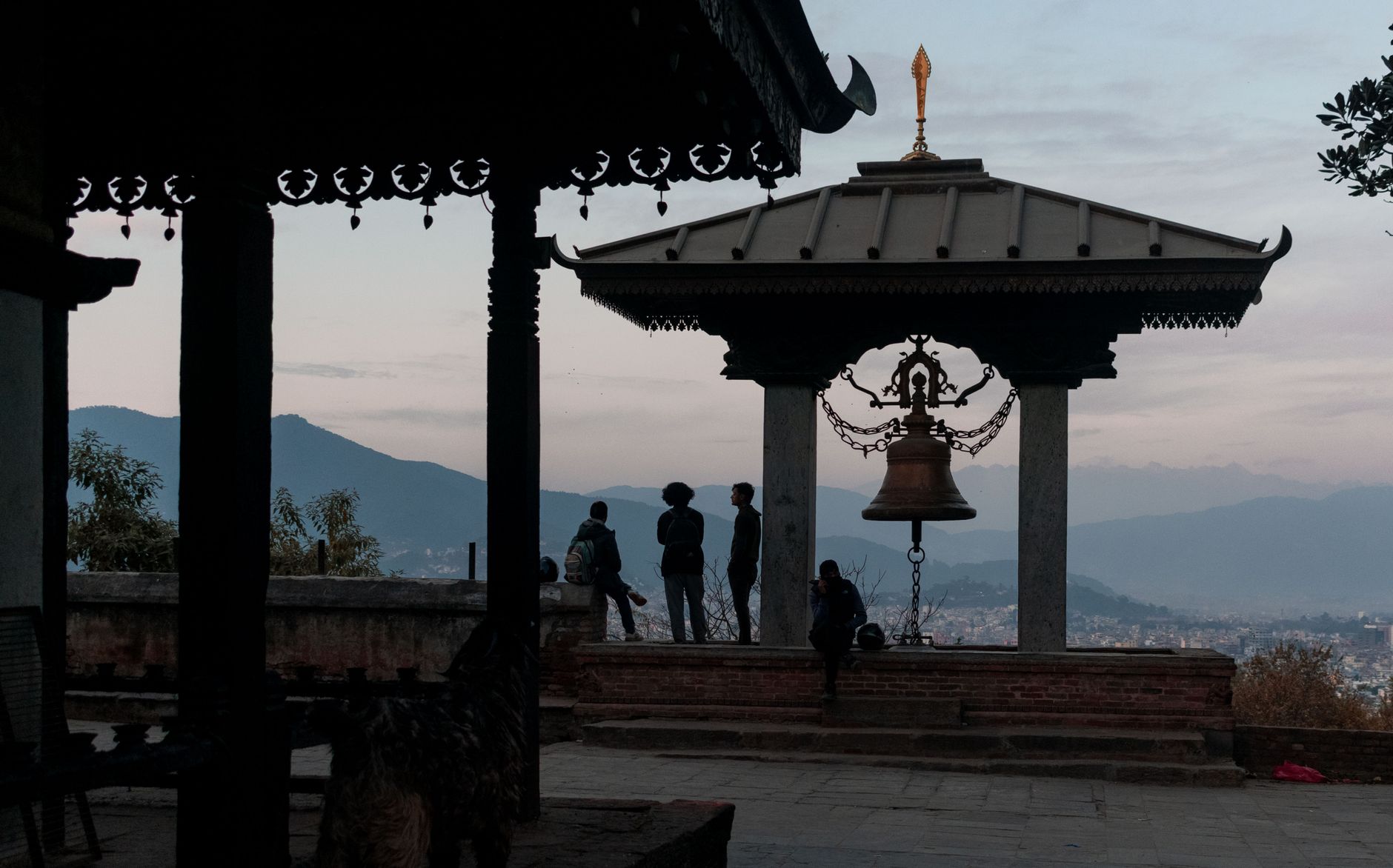
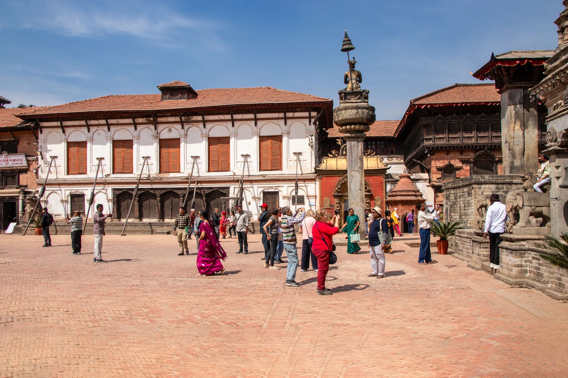
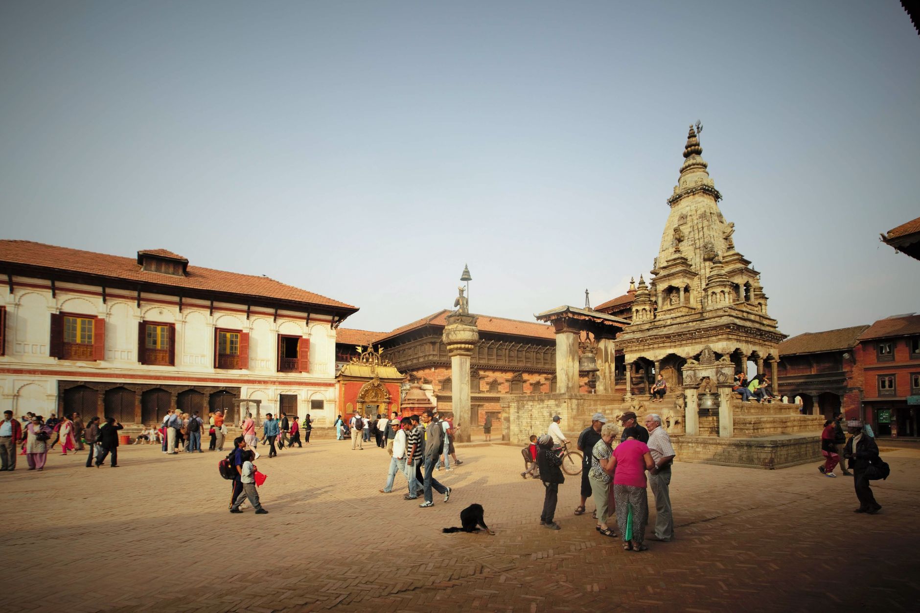
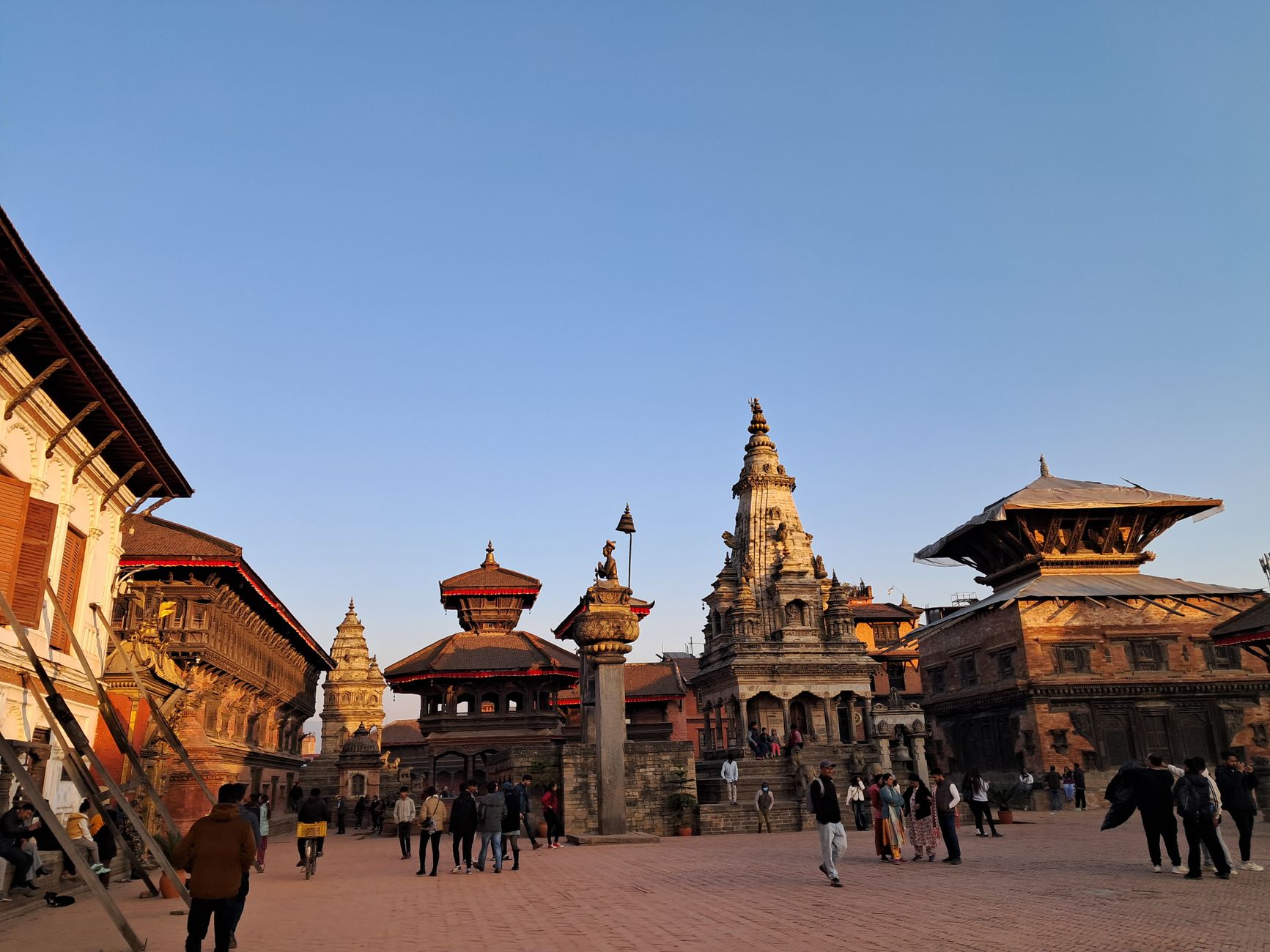
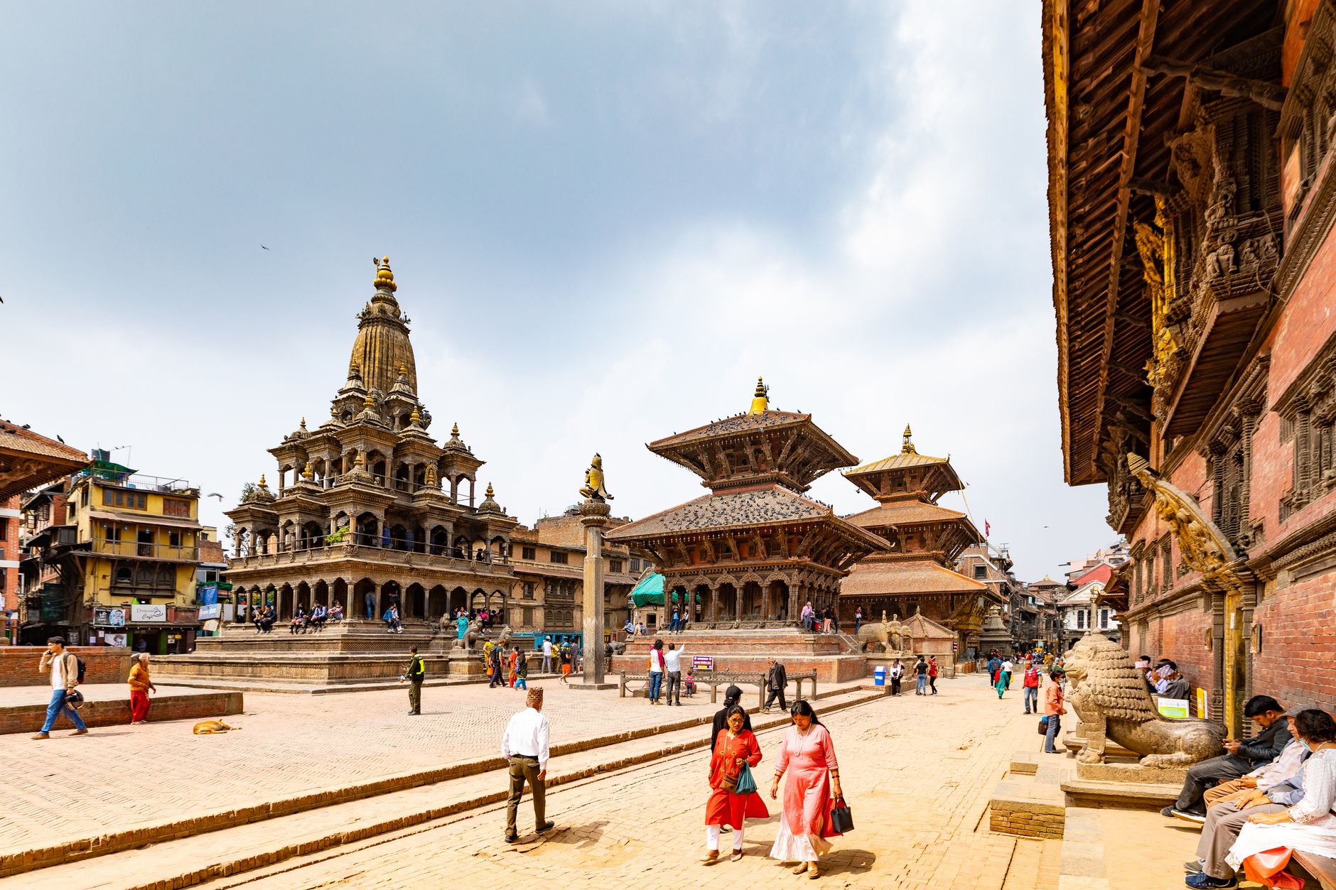
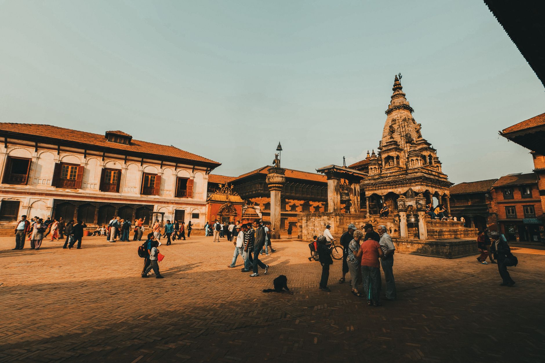
Five kilometres south-west of Kathmandu, Kirtipur sits on a long ridge above the valley floor, and the first thing you notice is the quiet. The medieval street plan — concentric lanes laid out by the Malla kings — keeps cars largely at bay, and the Newar neighbourhoods that wind around the hilltop temples have changed less than almost anywhere else in the valley.
The city's two hills hold a pagoda, a stupa and a Thai-style monastery within easy walking distance of each other, and the rooftops of Bagh Bhairab Temple still carry rusted swords and shields taken from a conquering army three centuries ago — left there, deliberately, as a record of resistance.
💛 What travellers fall for
People who come back tend to time a visit for the Bagh Bhairab Jatra in August, when the neighbourhood around the tiger-deity temple fills with processions that draw the Newar community rather than tour groups. They also mention arriving early, before Tribhuvan University students fill the tea shops, and climbing to Uma Maheshwar at the top of the ridge for the valley view before cloud rolls in.
Deals in Kirtipur
Book directly at the provider

How Kirtipur came to be
Kirtipur was founded between 1099 and 1126 AD under the Gopal dynasty and grew into a fortified Newar city during the Lichhavi and Malla periods, when its concentric street plan and defensive walls took shape. By the eighteenth century it had become the last serious obstacle to Prithvi Narayan Shah's unification of Nepal. The king required twenty-three attempts to take the city, and it finally fell in 1767 only after a local nobleman defected and helped breach the defences. The weapons seized from Kirtipur's own soldiers were later hung on the balconies of Bagh Bhairab Temple, where they remain.
The city's resistance did not end there. In 2006, Kirtipur was the site of a significant peaceful demonstration during the mass uprising that curtailed the powers of the monarchy. UNESCO placed it on its tentative World Heritage list in 2008.
Who and what shaped it
People who shaped it
Landmark buildings
See Kirtipur in motion
Plan your visit
On the map
When to go
The most comfortable window for walking the ridge is October through March, when skies are clear and temperatures stay around 10–15°C during the day. May is the hottest month; the monsoon runs roughly June through September, bringing warm, muggy conditions and frequent afternoon cloud.
Right now
Background & history adapted from Wikipedia (CC BY-SA) · specs from Wikidata (CC0) · weather from Open-Meteo · map data © OpenStreetMap contributors · photos from Wikimedia Commons / Unsplash with per-image credit. No third-party reviews or social posts reproduced.