
Kingussie

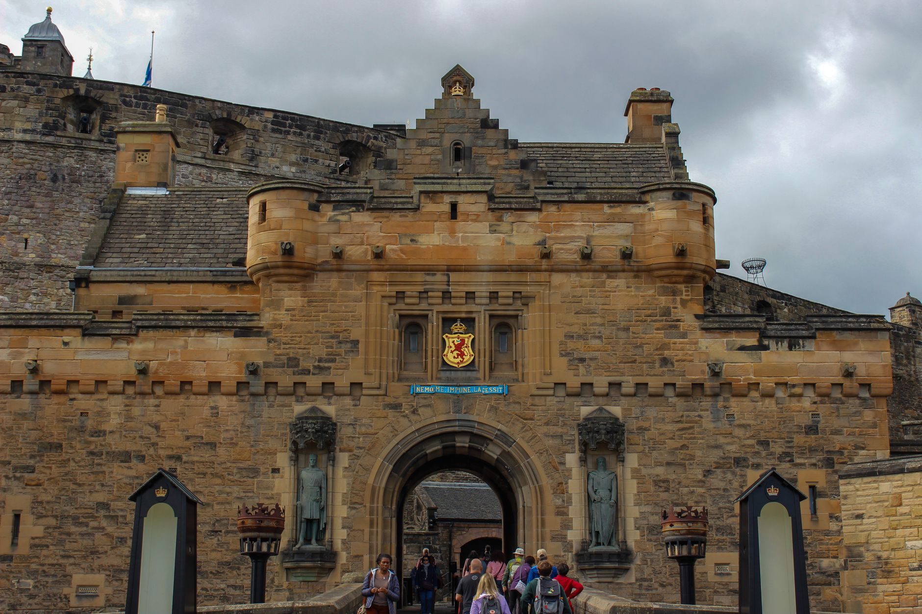



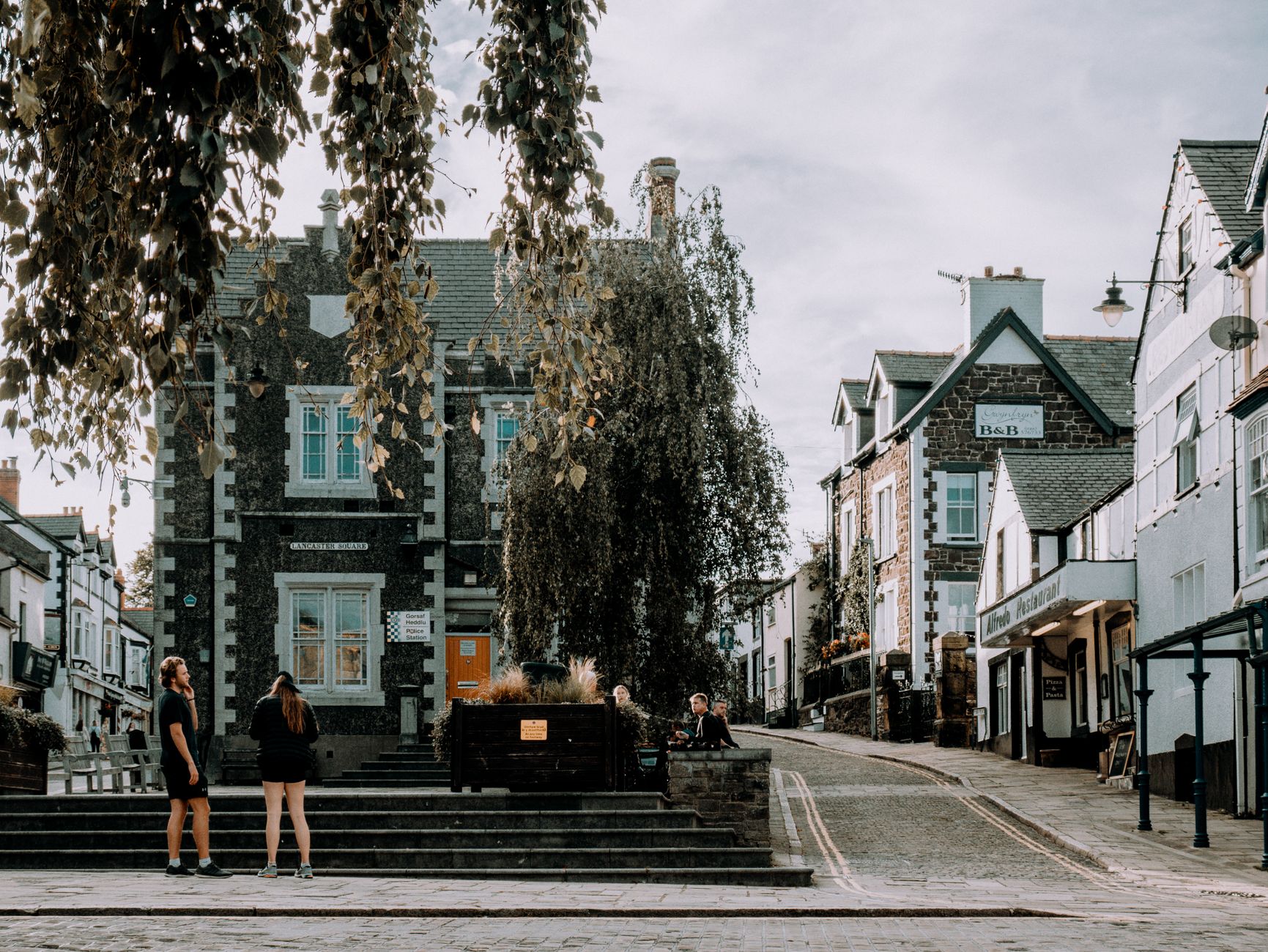
The name Kingussie comes from the Gaelic for 'Head of the Pine Forest', and standing at the edge of town with the Cairngorms massing to the east and the River Gynack threading past the golf course, the description still holds. This is a small Highland town — one high street, a ruined barracks on a drumlin, a shinty pitch by the Spey — that carries more history per square mile than most places ten times its size.
The Duke of Gordon laid it out as a planned town in 1799, the railway arrived in 1863, and for a while Kingussie was a genuine Victorian resort. That chapter has quietened, but the bones remain: good rail connections, clear Highland air, and Ruthven Barracks watching over everything from the flood plain.
💛 What travellers fall for
People who come back tend to walk Creag Bheag early, before the light flattens, and catch the barracks from above rather than below. If there's a shinty match at The Dell, go — Kingussie Camanachd's record in the 1990s is the kind of thing you mention at dinner for years.
Deals in Kingussie
Book directly at the provider

How Kingussie came to be
The mound that carries Ruthven Barracks has been strategically occupied since at least 1229. It was a Comyn stronghold in the Middle Ages, then passed to the Macphersons after they backed Robert the Bruce. Alexander Stewart — the 'Wolf of Badenoch', one of medieval Scotland's more violent characters — held it from 1371. The Hanoverian barracks built there in 1719 were reduced to their current roofless state by Jacobite forces retreating after Culloden in 1746.
The town itself is Georgian in origin: the Duke of Gordon established it in 1799, bridges over the Spey and Laggan followed within two decades, and the railway in 1863 brought linen mills, tourists, and eventually the Grampian Sanatorium, opened in 1901 by Swiss tuberculosis specialist Dr Walter Frederick de Watteville. In 1893 the shinty club was founded, and what happened next became a Guinness World Record.
Who and what shaped it
People who shaped it
Landmark buildings
See Kingussie in motion
Plan your visit
On the map
When to go
July and August sit around 17°C on a good day — comfortable for walking, though rainfall of around 100mm a month is normal, so a waterproof is not optional. January is the sharpest month, with temperatures regularly dipping below freezing and the hills often snow-covered.
Right now
Background & history adapted from Wikipedia (CC BY-SA) · specs from Wikidata (CC0) · weather from Open-Meteo · map data © OpenStreetMap contributors · photos from Wikimedia Commons / Unsplash with per-image credit. No third-party reviews or social posts reproduced.