
Kihei
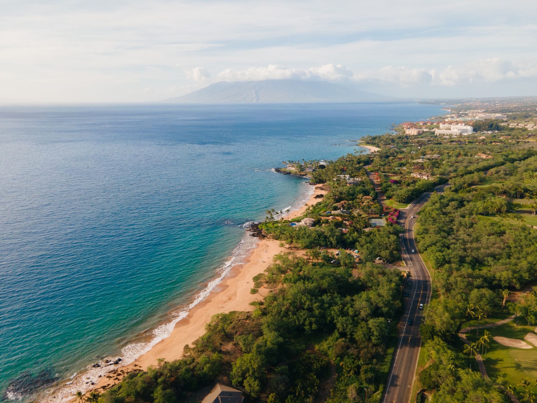
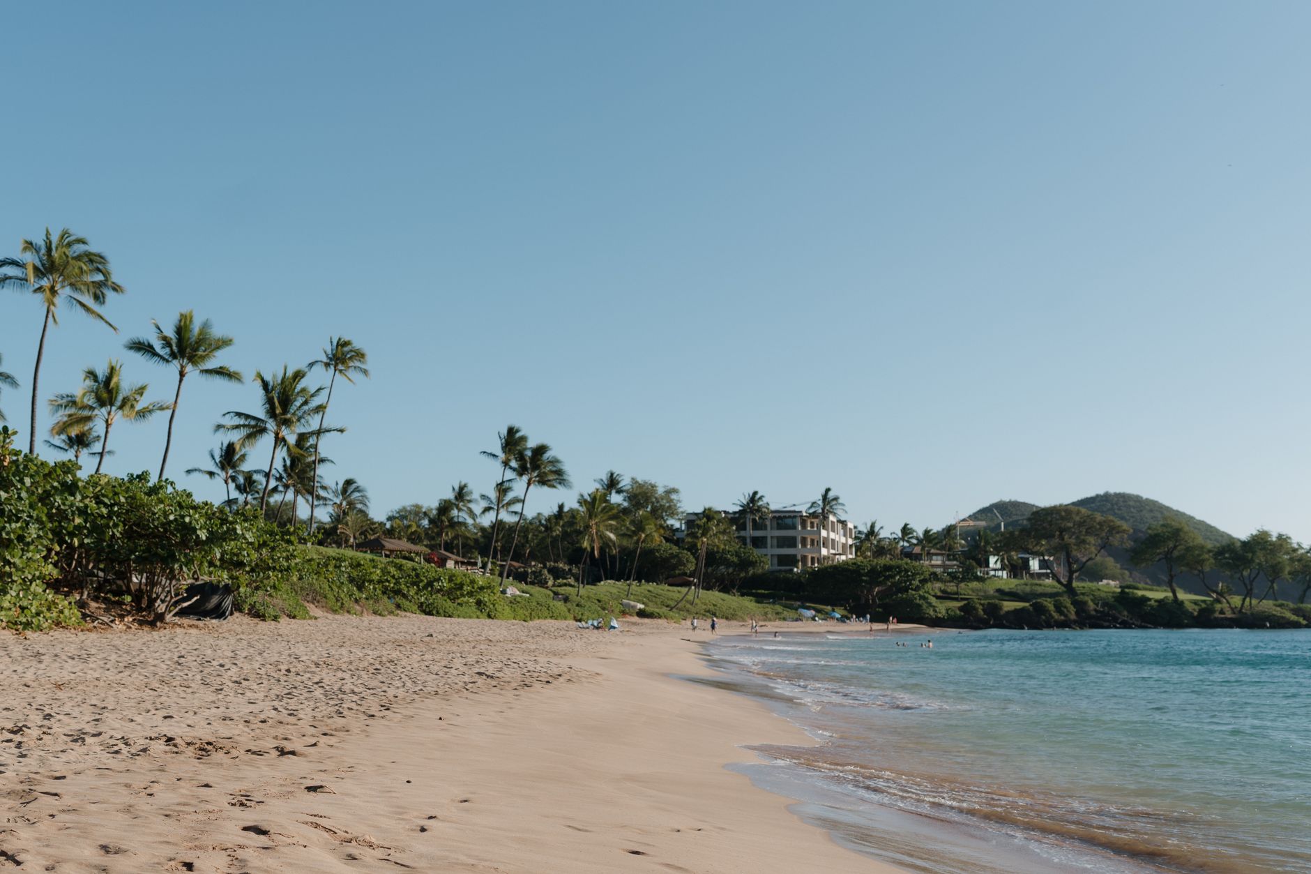
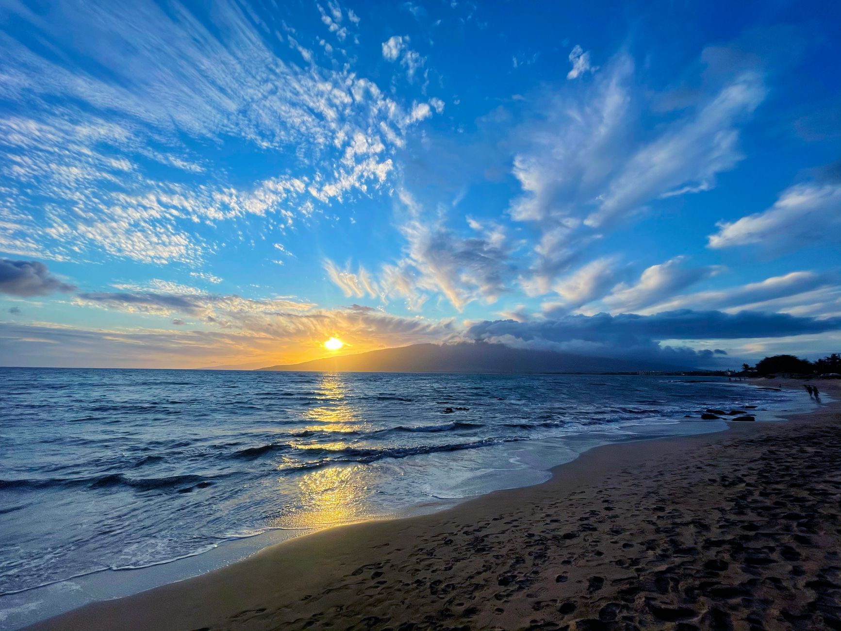
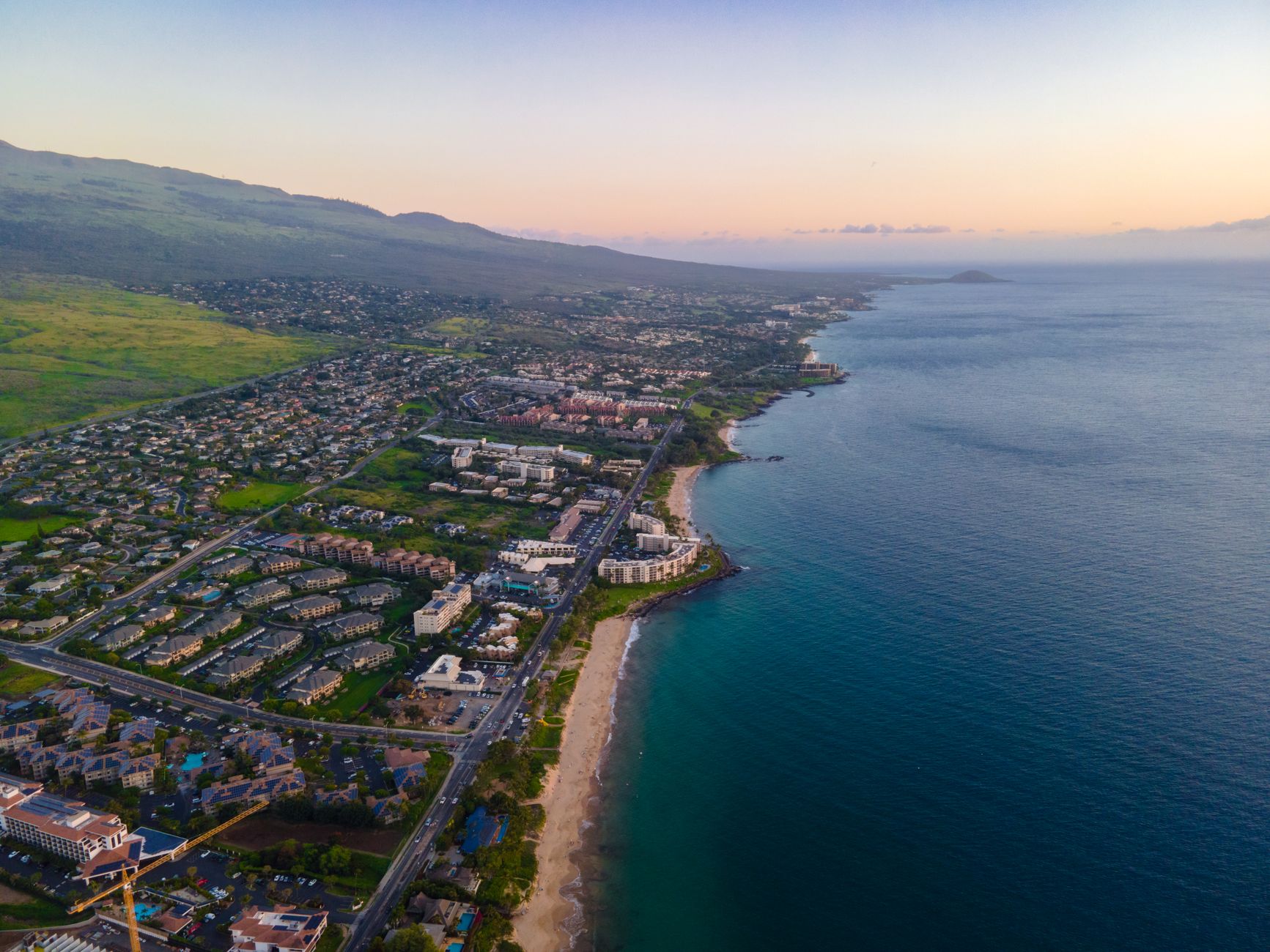
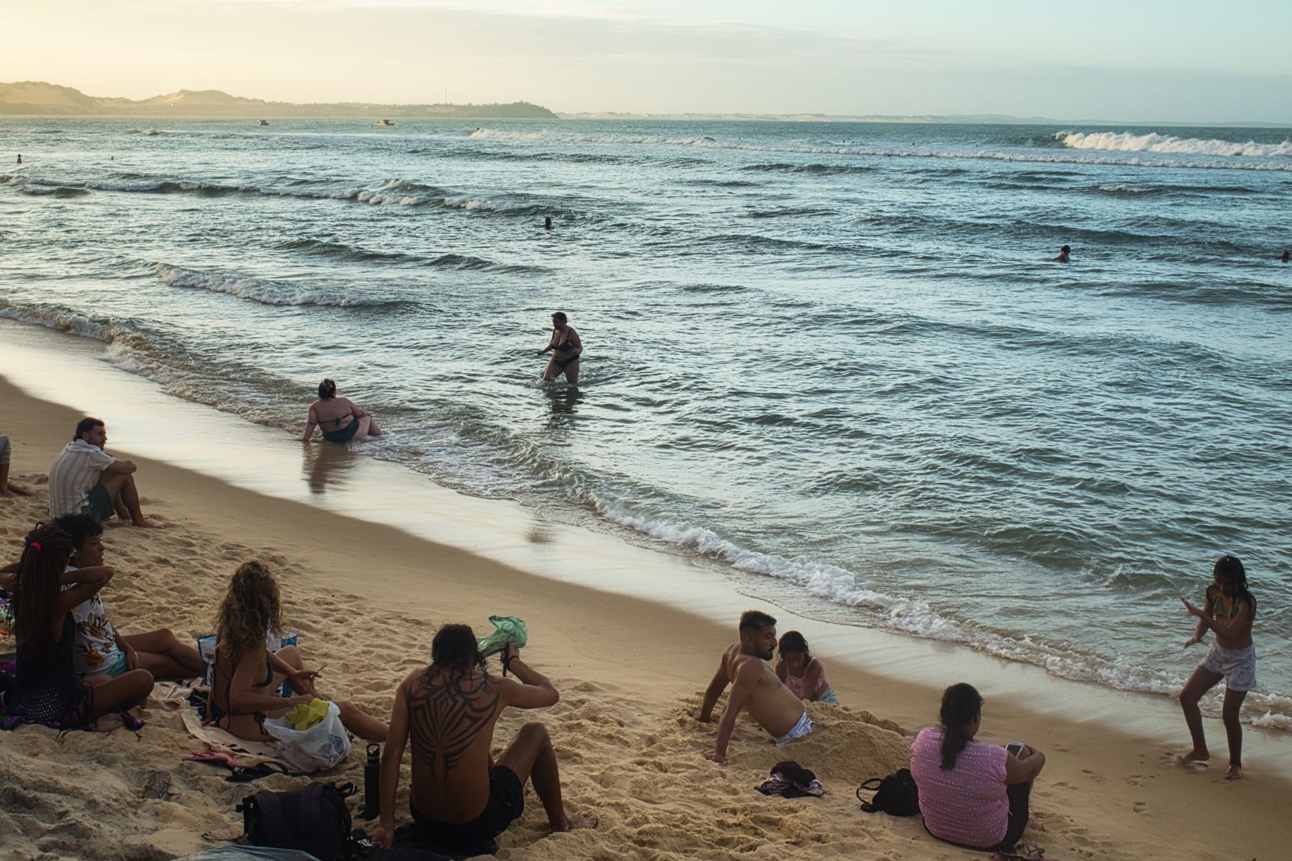
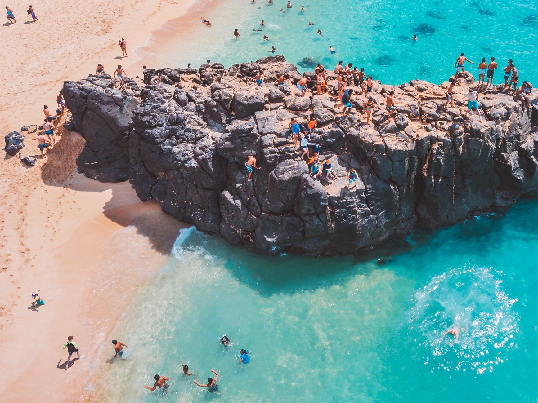
The name Kihei translates as 'land of the sun,' and the town earns it: fewer than ten inches of rain fall here in a year, and the long ribbon of South Kihei Road runs beside a string of beaches that face west into the afternoon light. Haleakalā stands at your back, pulling the clouds away from this leeward strip and leaving it drier and calmer than almost anywhere else on Maui.
This is not a place built around a single resort or attraction. It grew fast — from 1,636 residents in 1970 to more than 21,000 by 2020 — and that growth shows in its mix of condos, food trucks, surf schools and native fish ponds that predate all of it by centuries.
💛 What travellers fall for
People who keep coming back tend to anchor their mornings at Kama'ole Beach Park II — good entry for swimmers, enough space to find your own patch. Late afternoons they drift to South Maui Gardens, the food truck cluster off South Kihei Road, and stay until the light goes. The Maui Bus Route 15 runs until 9:30 PM and, since January 2024, costs nothing.
Deals in Kihei
Book directly at the provider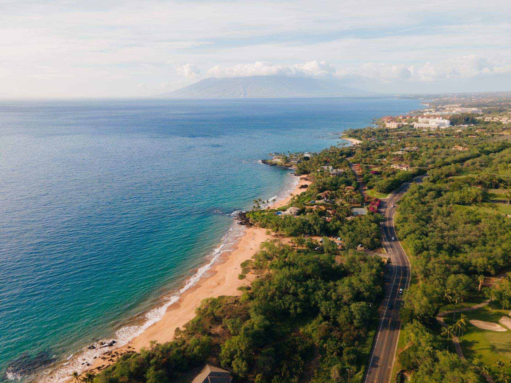
How Kihei came to be
Polynesian settlers were here from at least the 9th century, and the area they called Kama'ole — 'barren' — supported fishing villages whose stone walls still stand in the 'Ahihi-Kina'u Natural Area Reserve and at Palau'ea. In 1790, Kamehameha landed here, burned his fleet's canoes on the shore to cut off retreat, and marched his forces inland to fight the Battle of Kepaniwai at Wailuku. The Aston Maui Lu Resort now marks the spot where Captain George Vancouver came ashore in 1778.
For most of the 20th century the land stayed quiet. The government began selling beach lots in 1950 with little response. Only when water was piped in from Central and West Maui in the 1960s did development take hold — condos and resorts followed quickly through the 1970s and 1980s, turning a sparsely populated coastal strip into one of Maui's main residential towns.
Who and what shaped it
People who shaped it
Landmark buildings
See Kihei in motion
Plan your visit
On the map
When to go
Kihei sits in the rain shadow of Haleakalā, so expect dry, sunny days nearly year-round — daytime temperatures run from the high 70s in February to the mid-80s in August, with trade winds picking up between June and August. Winter months are slightly cooler and calmer; summer brings more wind off the water, which suits windsurfers well.
Right now
Background & history adapted from Wikipedia (CC BY-SA) · specs from Wikidata (CC0) · weather from Open-Meteo · map data © OpenStreetMap contributors · photos from Wikimedia Commons / Unsplash with per-image credit. No third-party reviews or social posts reproduced.