
Kibera


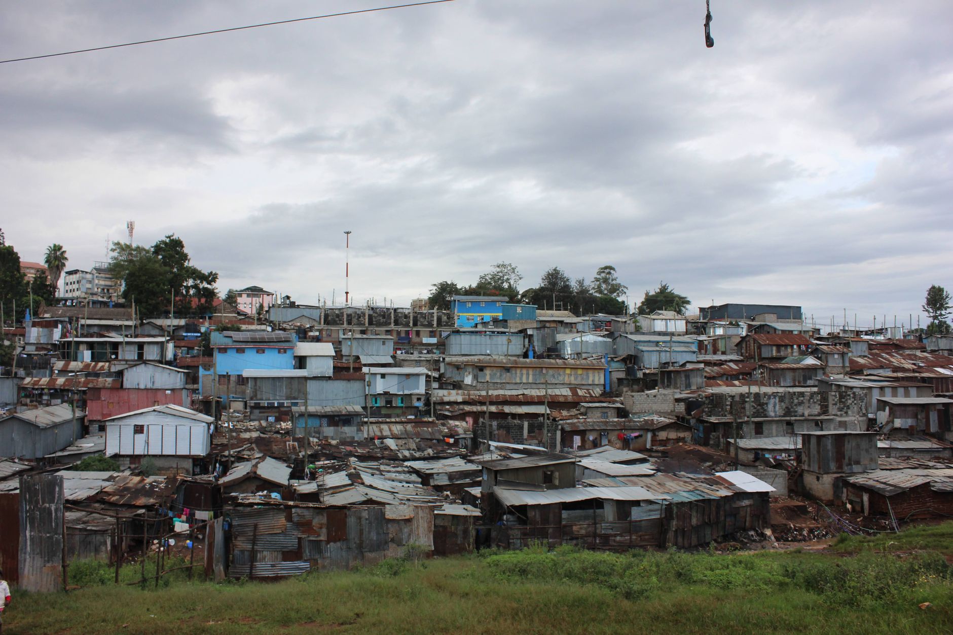


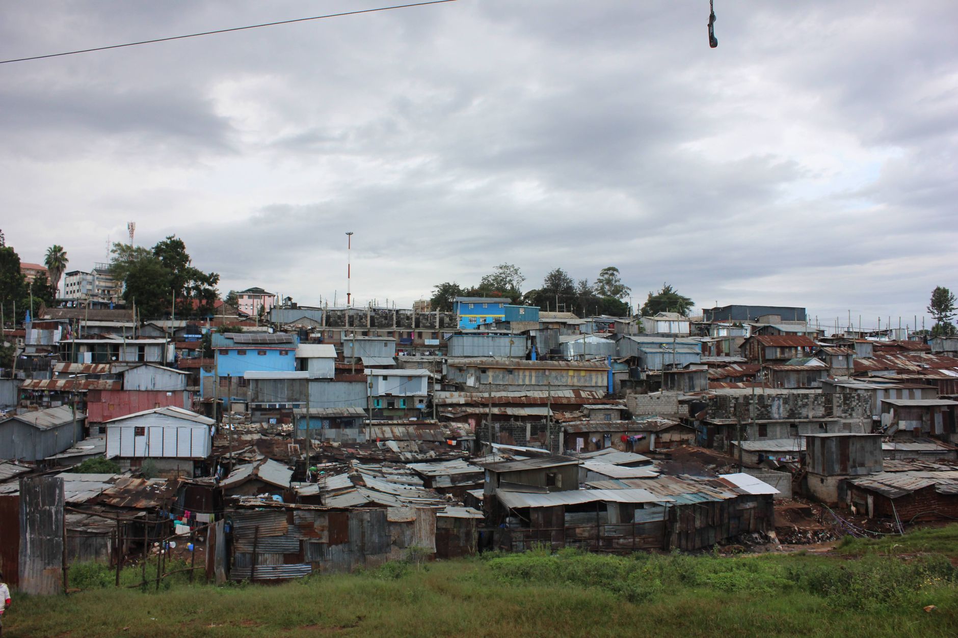
The corrugated iron rooftops of Kibera have rusted to a deep brown over the decades, earning the neighbourhood its nickname: Chocolate City. From the window of a train on the old Uganda Railway line, the settlement rolls out across the hillside in every direction — a city within a city, 6.6 kilometres from Nairobi's centre, home to somewhere between 170,000 and a million people depending on who is counting and where they draw the boundary.
Almost everything a city needs exists here in miniature: hair salons, repair shops, schools, clinics, mobile banking points, churches, mosques. The standard home measures twelve feet by twelve feet, walls of mud and rough timber, a corrugated iron roof. The Ngong River runs through it, crossed now by pedestrian bridges built with help from local residents — safer and more navigable than what came before.
💛 What travellers fall for
People who have visited more than once tend to say the same thing: go with someone who knows the place, not just a tour company van that drops you at the edge. A community-led walking tour changes what you see. You notice the Umande Trust's biogas toilets, the density of worship spaces on a single block, the particular quiet of a Tuesday morning market.
Deals in Kibera
Book directly at the provider

How Kibera came to be
Kibera's name comes from the Nubian word 'Kibra', meaning forest or land of the forest. In 1904, Nubian soldiers returning from service with the British colonial King's African Rifles were allocated plots in what was then forested land at Nairobi's edge. For decades the community remained predominantly Nubian.
Independence in 1963 changed everything twice over. The new Kenyan government reclassified many housing arrangements, rendering Kibera an unauthorised settlement on the basis of land tenure. Simultaneously, rapid rural-to-urban migration brought large numbers of Luo, Luhya, Kikuyu and other communities into the neighbourhood. The Nubian founders became one group among many, and Kibera grew into the ethnically diverse, densely layered place it is today.
Who and what shaped it
Landmark buildings
See Kibera in motion
Plan your visit
On the map
When to go
Nairobi sits at around 1,661 metres above sea level, which keeps temperatures moderate year-round — rarely hot, sometimes genuinely cold after dark or during the rainy seasons in April–May and October–November. For a walking visit, the drier months of June through September or January through February are more comfortable underfoot.
Right now
Background & history adapted from Wikipedia (CC BY-SA) · specs from Wikidata (CC0) · weather from Open-Meteo · map data © OpenStreetMap contributors · photos from Wikimedia Commons / Unsplash with per-image credit. No third-party reviews or social posts reproduced.