
Khlong San
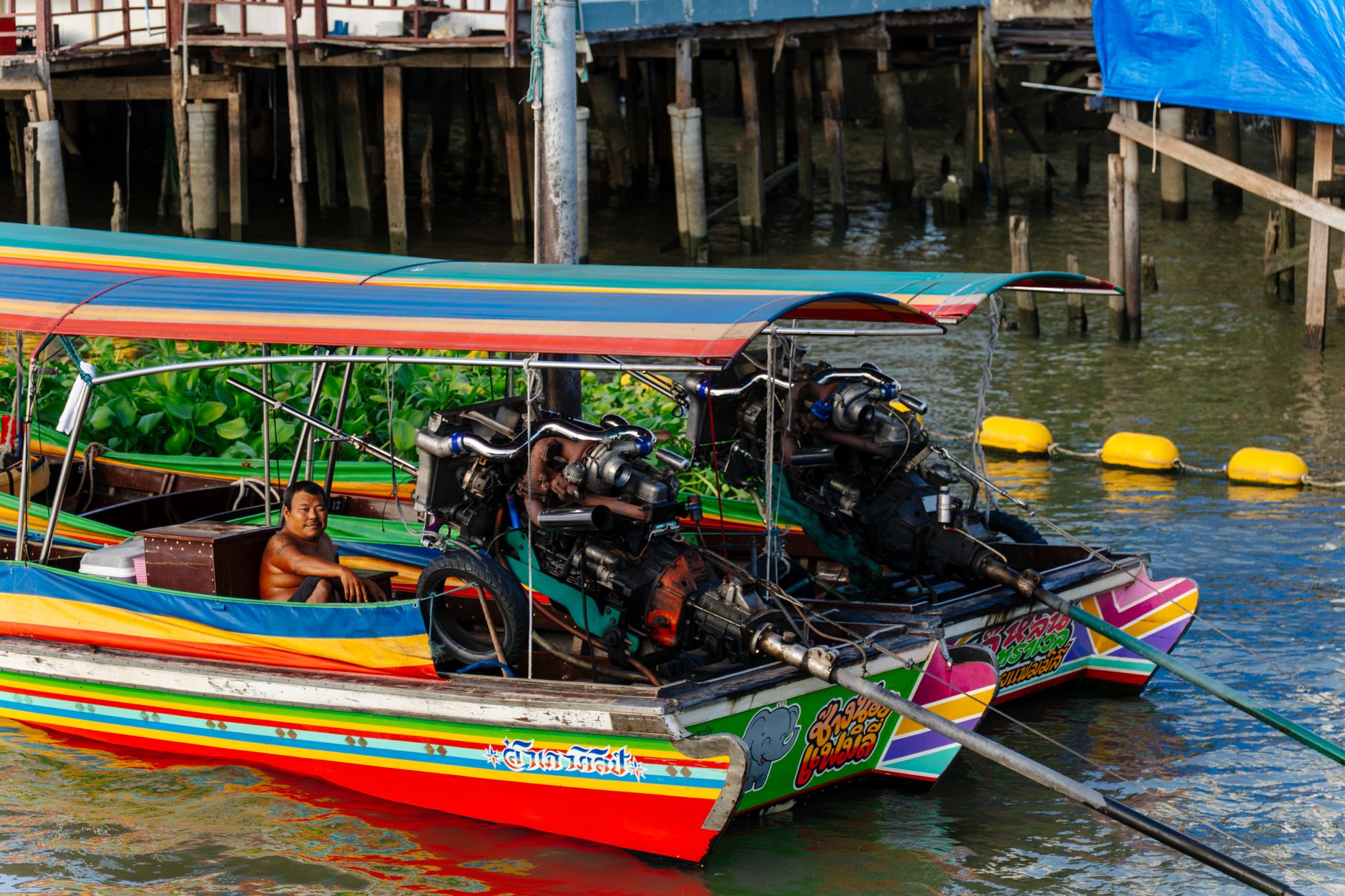
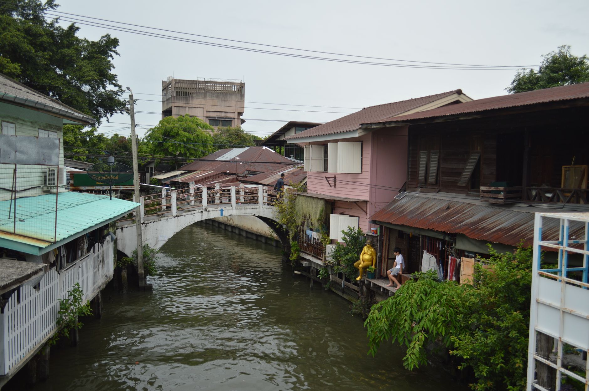
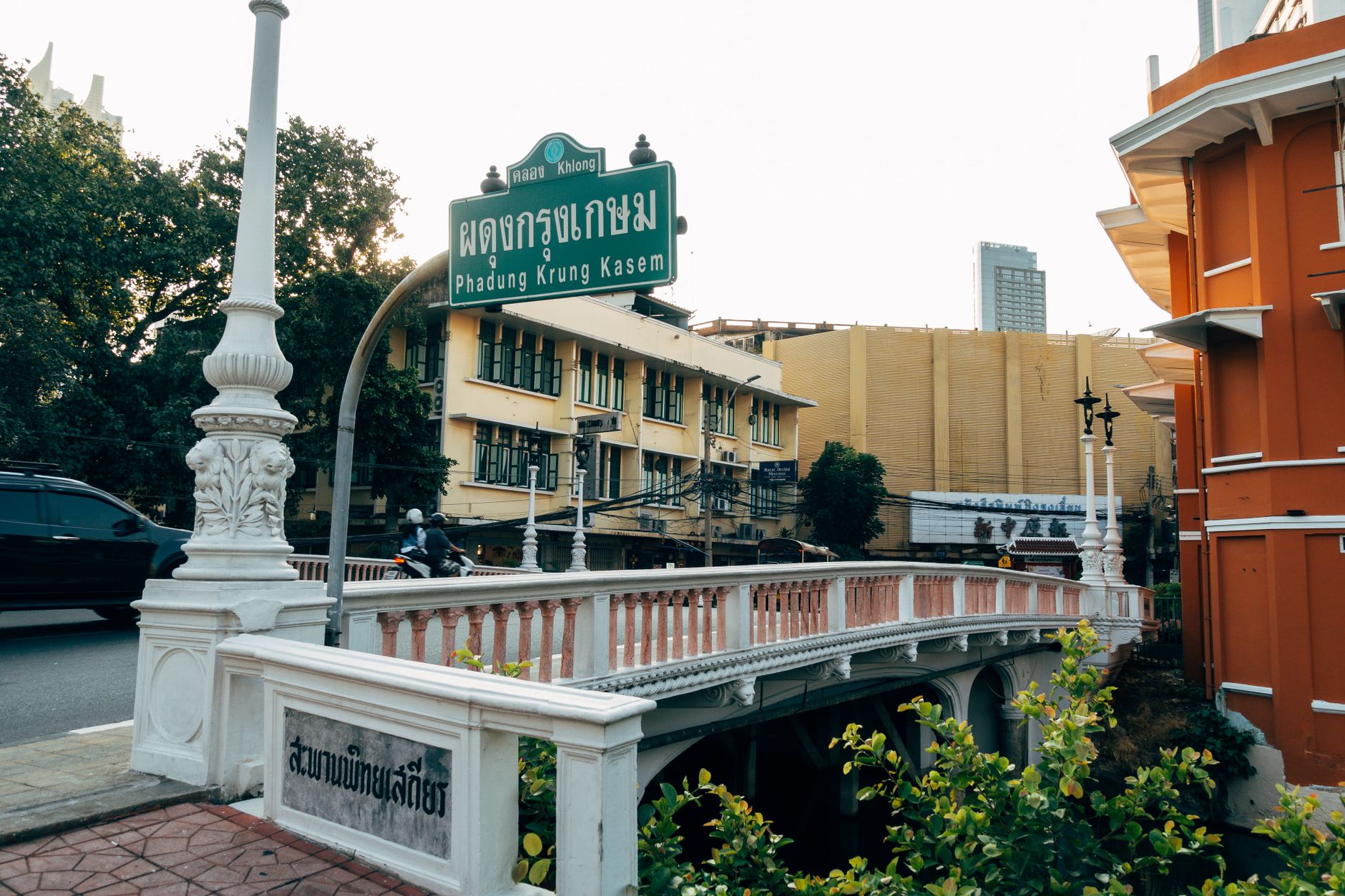
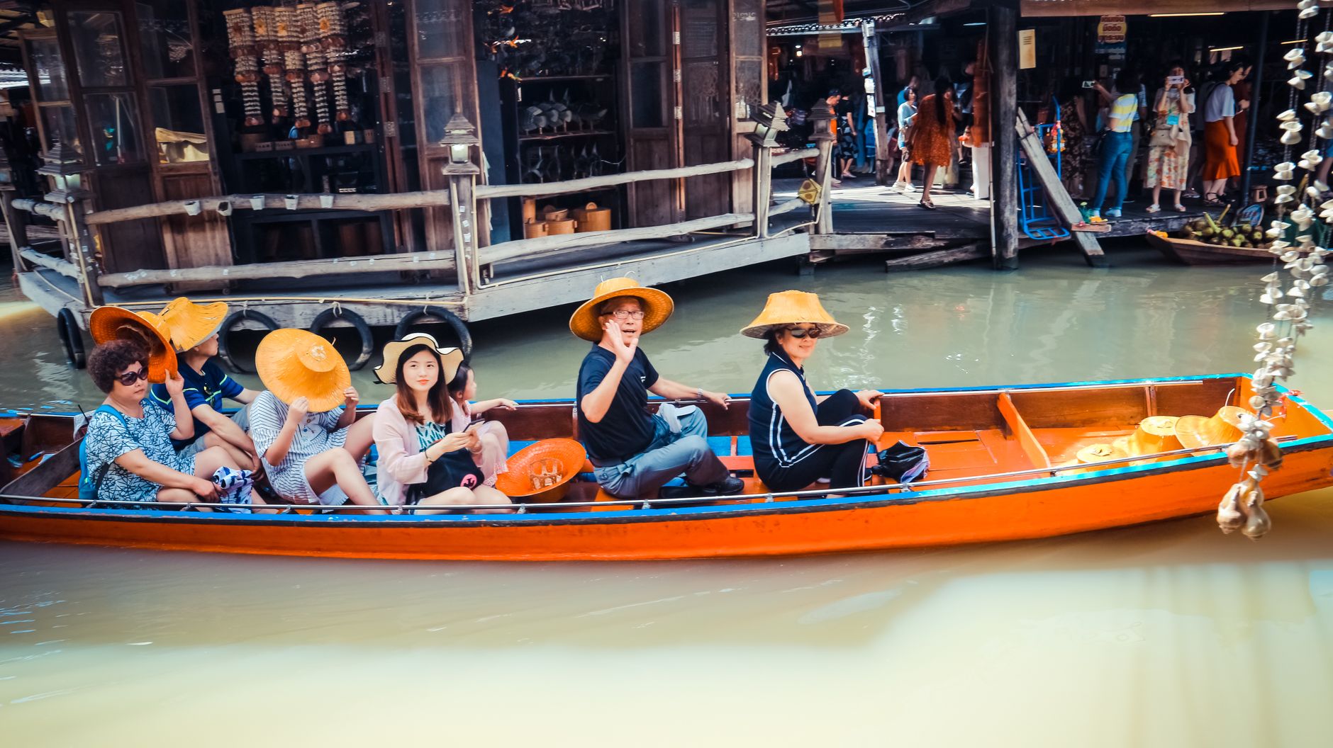
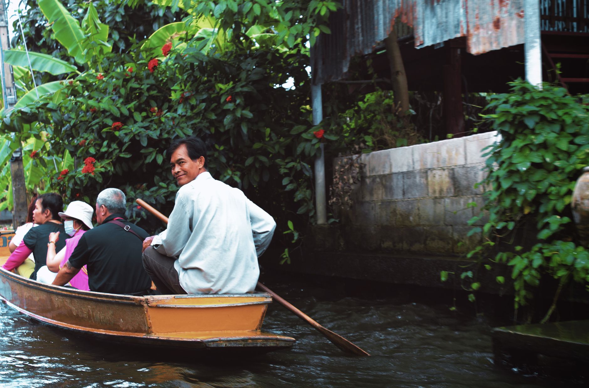
Stand at the roundabout at Wongwian Yai and the equestrian statue of King Taksin looks out over a district that Bangkok proper tends to overlook. Khlong San sits on the Thonburi side of the Chao Phraya, stitched together by old canal roads — Lat Ya, Prajadhipok — that were once waterways carrying longkong fruit and cargo from overseas ships anchored before Bangkok Port existed.
The riverfront here holds a particular kind of layering: a 19th-century Chinese courtyard warehouse refitted as cafés and galleries, a temple with pink ceramic-tiled roofs, a bua loy shop at the pier where a queue forms most mornings. The Gold Line BTS drops you right into it.
💛 What travellers fall for
People who come back tend to arrive hungry and on foot. The bua loy at Khlong San Pier is the standard opening move — join the queue, order both colours. From there, Lhong 1919 and The Jam Factory are ten minutes apart along the river, and neither rewards a rush.
Deals in Khlong San
Book directly at the provider

How Khlong San came to be
The district's name comes from the khlong — Khlong San, also called Khlong Prasan — that once threaded through it. Before it was called Khlong San at all, the area was known as Bang Lamphu Lang; in 1916, under King Vajiravudh (Rama VI), it was folded into Thonburi Province and renamed. The canals that defined its layout were gradually filled in and paved over from around the 1940s onward, becoming Lat Ya Road, Prajadhipok Road, and what is now Somdet Chao Phraya Road.
For decades the district handled river commerce: overseas cargo ships stopped here before Bangkok Port was built, and the Maeklong railway terminated at Pak Khlong San station from 1904 until the government demolished the station in 1961 to make way for Charoen Rat Road. The Bunnag noble family held significant influence here — Wat Anongkharam was built in the reign of Rama III by Than Phu Ying Noi Bunnag — and Teochew merchant families like the Wanglees built compound residences and acquired river piers, including what is now Lhong 1919, in 1919.
Who and what shaped it
People who shaped it
Landmark buildings
See Khlong San in motion
Plan your visit
On the map
When to go
Bangkok's tropical heat applies year-round, with the most persistent rain falling between May and October. The cooler, drier window from November through February is the most comfortable time to walk the riverside stretch.
Right now
Background & history adapted from Wikipedia (CC BY-SA) · specs from Wikidata (CC0) · weather from Open-Meteo · map data © OpenStreetMap contributors · photos from Wikimedia Commons / Unsplash with per-image credit. No third-party reviews or social posts reproduced.