
Kailua
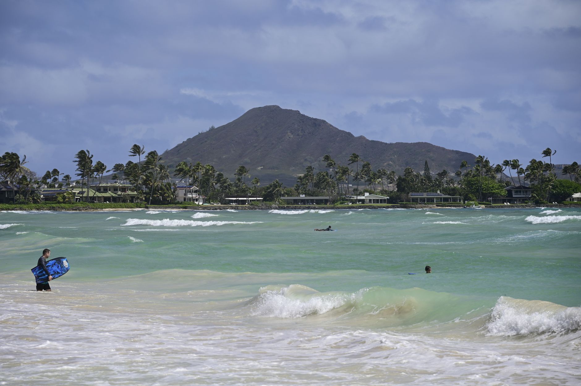
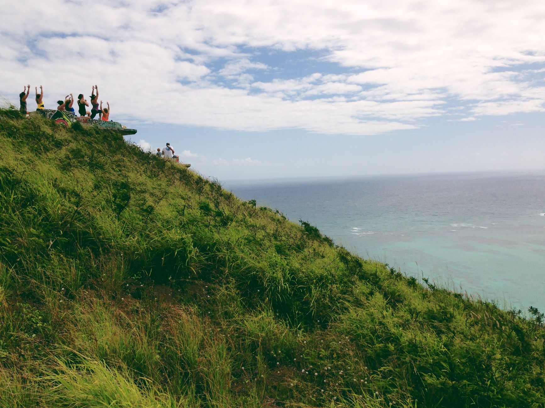
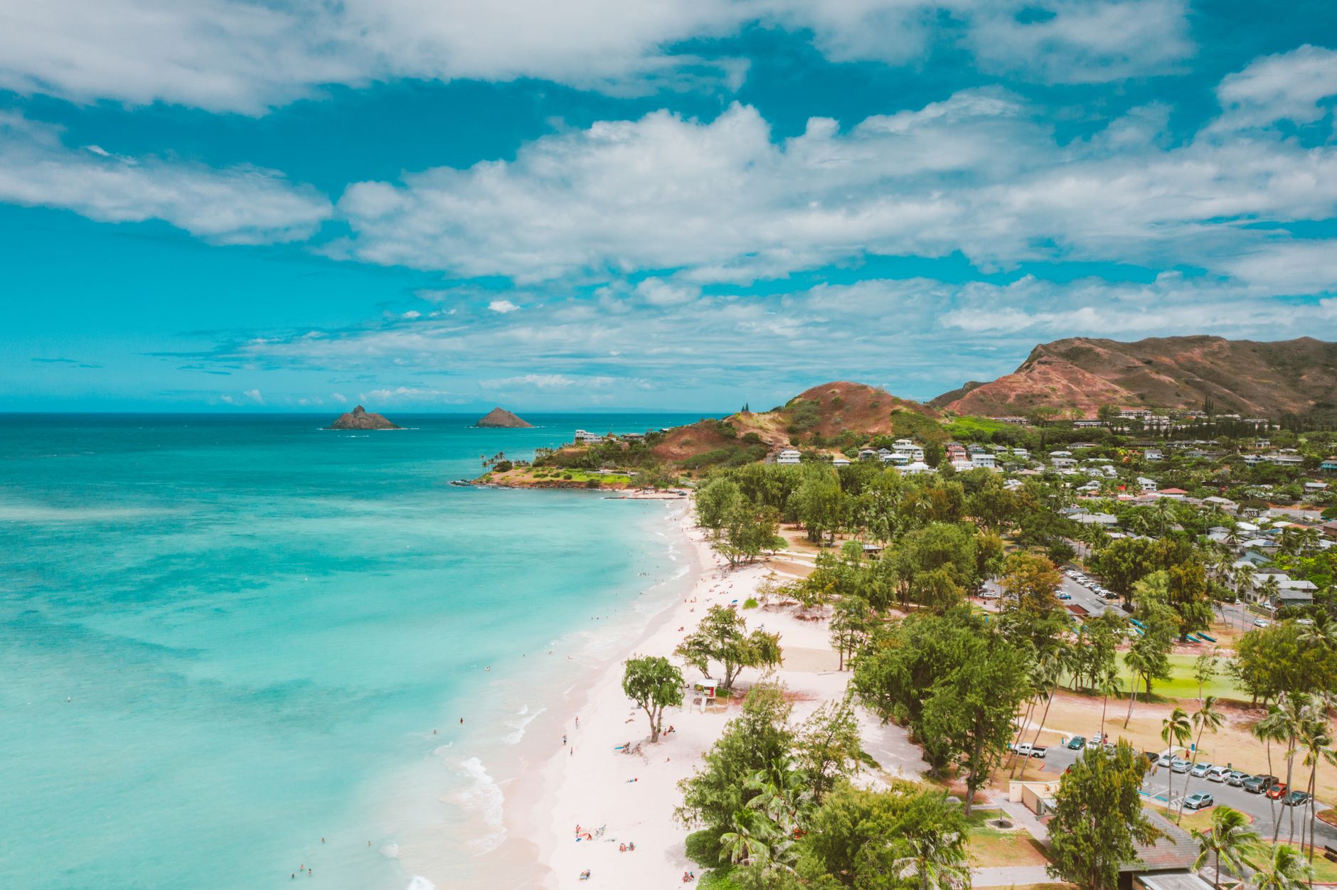
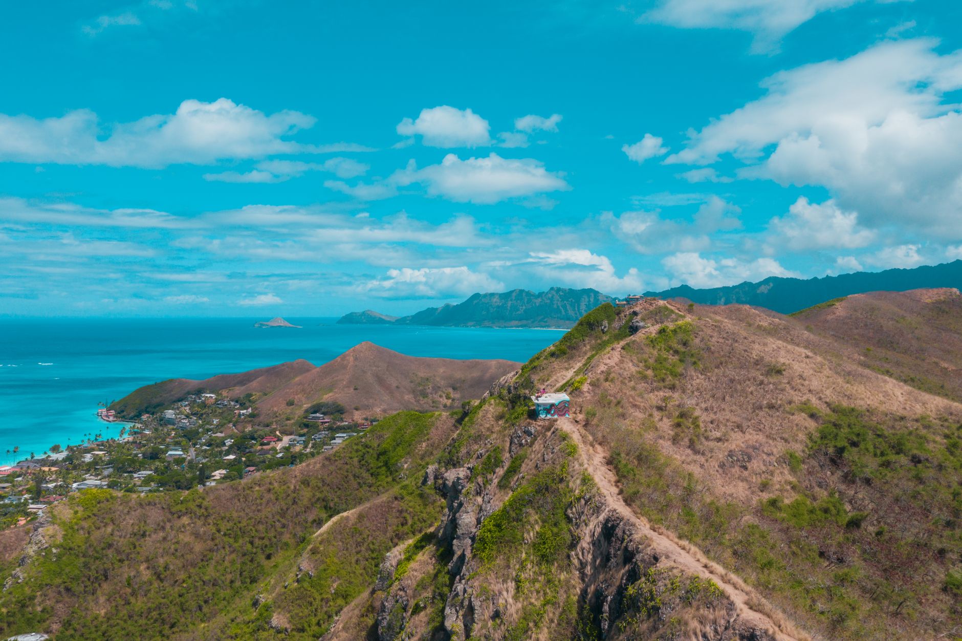
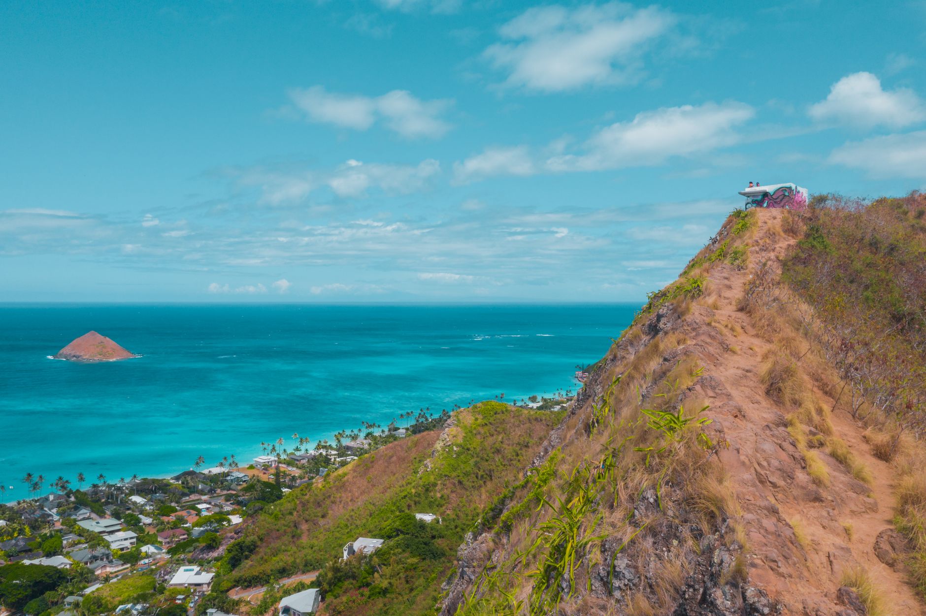
Twelve miles northeast of Honolulu, over the green wall of the Ko'olau Range and down through the Nu'uanu Pali pass, Kailua opens onto the windward side of O'ahu like a different island entirely. The trade winds arrive early and stay late, bending the ironwood trees along a crescent beach that runs for two and a half miles without a resort in sight.
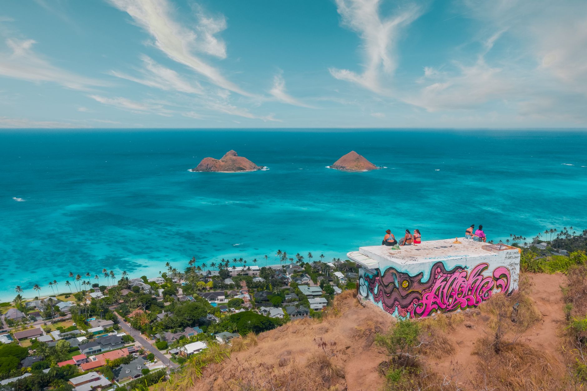
The town itself is low-slung and neighborhood-scaled — a Whole Foods, a clutch of surf-and-paddle shops, a bowling alley that became a landmark by refusing to be anything else. Nā Mokulua, the two small islands sitting just offshore, are visible from almost anywhere on the beach, and on clear mornings they look close enough to wade to. You can't, but you can kayak.
💛 What travellers fall for
People who return tend to time it for early July — the driest stretch — and go straight to a kayak-rental stand for the paddle out to the Mokes before the wind picks up. They also learn quickly that Hekili Street, behind the Whole Foods, moves at a pace the rest of Kailua seems to share: unhurried, worth lingering in.
Deals in Kailua
Book directly at the provider

How Kailua came to be
People were farming taro and bananas in the Kailua valley by around 1200 AD, and for a period the area served as the residential seat of the O'ahu rulers — a political center before Honolulu existed in any meaningful sense. That changed after the Battle of Nu'uanu in 1795, when power shifted westward to Honolulu and Kailua receded into agriculture: first taro, then rice, then dairy.
Modern Kailua traces its shape to 1917, when Harold Kainalu Long Castle bought 9,500 acres and eventually seeded a planned residential community through Kaneohe Ranch. A marketing push in the early 1950s pulled families to the windward side, and the population leapt from 1,540 in 1940 to more than 25,600 by 1960. Alexander & Baldwin acquired the town center in 2013 for $373 million — a transaction that underscored how thoroughly a place built on farmland had become valuable real estate.
Who and what shaped it
People who shaped it
Landmark buildings
See Kailua in motion
Plan your visit
On the map
When to go
Temperatures hold between the low 70s and mid-80s Fahrenheit through most of the year, with September the warmest month and the trade winds keeping things tolerable even then. The windward position means more rain than the leeward coast — December is the wettest month — but July is genuinely dry, and the consistent breeze is precisely why windsurfers and kitesurfers have been showing up for decades.
Right now
Background & history adapted from Wikipedia (CC BY-SA) · specs from Wikidata (CC0) · weather from Open-Meteo · map data © OpenStreetMap contributors · photos from Wikimedia Commons / Unsplash with per-image credit. No third-party reviews or social posts reproduced.