
Jardines del Turia
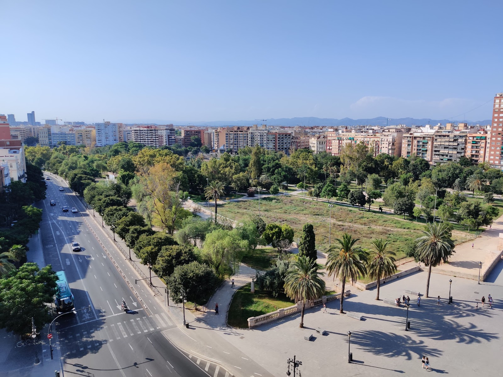
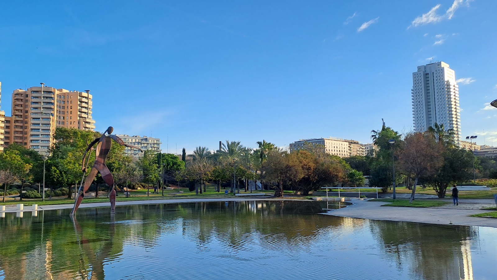
Valencia's old river doesn't carry water anymore — it carries people. The Turia riverbed, dry since the river was diverted in the 1960s, now runs nearly 8.5 kilometres through the city as a continuous green corridor: 136 hectares of orange trees, palm groves, rose bushes, running tracks, and the occasional kiosko where someone is already into their second glass of wine before noon.
Every 100 metres, a small marker tells you how far you've come from Cabecera Park at Kilometre 0 to the Oceanogràfic at Kilometre 8.5. You can walk the whole thing, or dip in at one of 18 bridges and follow it wherever the morning takes you.
💛 What travellers fall for
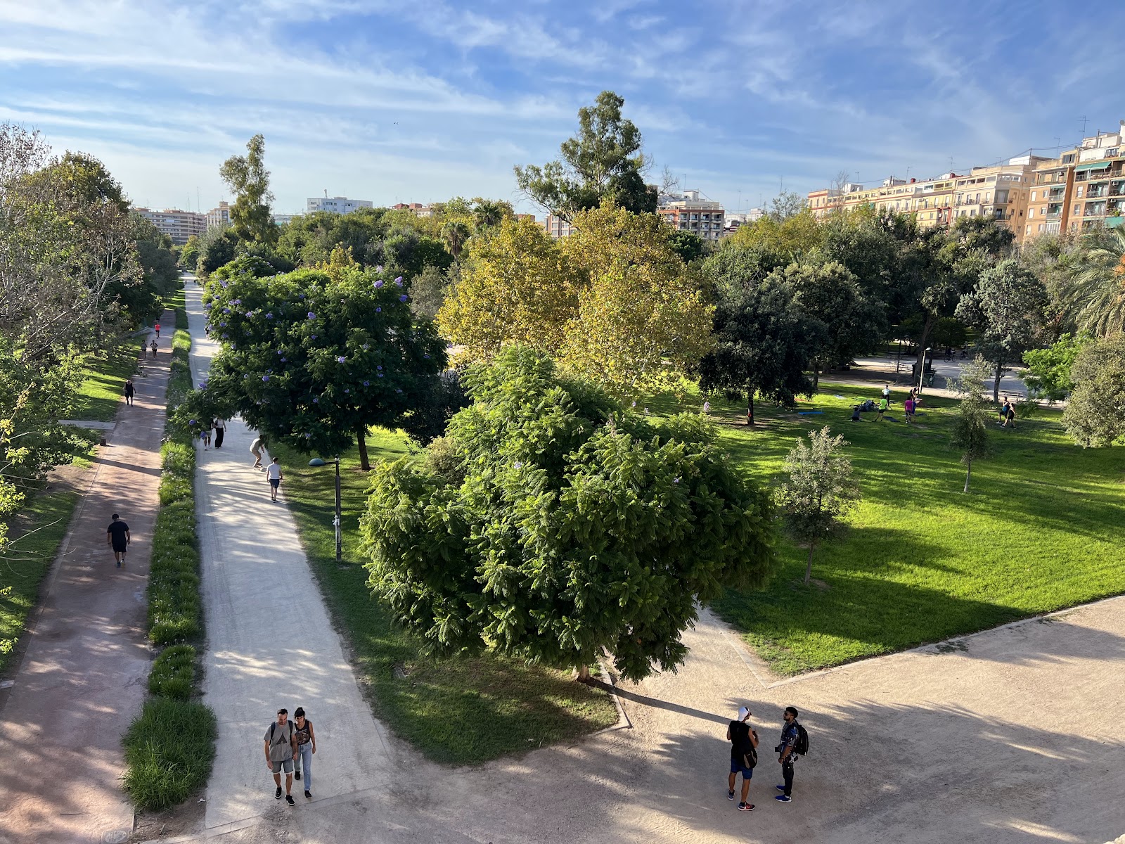
People who come back tend to enter at Alameda station and walk east toward the City of Arts and Sciences, stopping at the Gulliver playground to watch children scramble over the giant's body. The kiosko bars are worth a deliberate pause — jamón, a glass of something cold, a bench in the shade of a palm.
The story behind Jardines del Turia
On 14 October 1957, the Turia flooded catastrophically, killing at least 81 people. The Franco government responded by diverting the river entirely — work completed between 1965 and 1969 — and then proposed turning the empty bed into a highway and rail corridor.
Valencians pushed back. The civic movement that rallied under the Valencian phrase 'El llit del Túria és nostre i el volem verd' — the Turia riverbed is ours, and we want it green — eventually won. The city took ownership of the old bed in 1979, and the park formally opened in 1986. Catalan architect Ricardo Bofill shaped much of it, describing his approach as drawing on the symbolic rhythms of the Moorish garden. The municipality divided the riverbed into sections and assigned each to a different designer, which is why the park shifts character as you walk — and why Santiago Calatrava's City of Arts and Sciences feels like a different world at the eastern end.
Good to know
Free to enter at any point, 24 hours. Metro Lines L3, L5, or L7 to Alameda drops you near the middle. Separate tickets required for the City of Arts and Sciences venues and Bioparc. Walking the full length takes two to three hours at a relaxed pace.
Spring and autumn are the easiest seasons — warm enough to linger, cool enough to walk the full length without wilting. In July and August the shade of the orange and palm trees helps, but the middle of the day is genuinely hot; early mornings are when runners and regulars claim the track.
Where is Jardines del Turia?
More tickets & tours for Jardines del Turia
Book directly at the provider
What travellers say about Jardines del Turia
This park is incredibly well-designed with separate paths for walking, running, and cycling, making it super safe and organized. It has such a vibrant and relaxing atmosphere; you can easily spot people dancing, practicing yoga, or just chilling. There are plenty of benches to rest on and kiosks scattered around. These kiosks offer great options, ranging from alcoholic and non-alcoholic drinks to sweet/savory snacks and filling meals. It's truly a perfect park where people of all ages can have a great time!
Jardí del Túria is a beautiful and peaceful park that stretches through the heart of Valencia. It’s perfect for walking, cycling, or simply relaxing while enjoying the greenery and views of the city. The gardens, bridges, and pathways make it a lovely spot to escape the city’s bustle. A must-visit for anyone wanting to enjoy nature right in Valencia! 🌿🚴♂️
If you're visiting Valencia you must come here on a sunny day. It's beautiful and zoned all the way along what used to be a river, whoever designed this did a fantastic job. A real hub of the city and adds a layer of uniqueness that was truly humbling. Really nice to see how the locals utilise this space so well
Beautiful park with separate areas for walking, running and cycling. Many benches and shaded areas to sit and rest. Really well maintained, a lovely walking area.
When it is siësta in València, Turia park was my go to. Lovely to stroll through, lay in the grass with some snacks and a book. It was refreshing during the heat to seek shade under the trees.
More of Valencia
Discover where to stay, what to do and the best deals for your trip.
Explore Valencia →More attractions in Valencia
All of Valencia →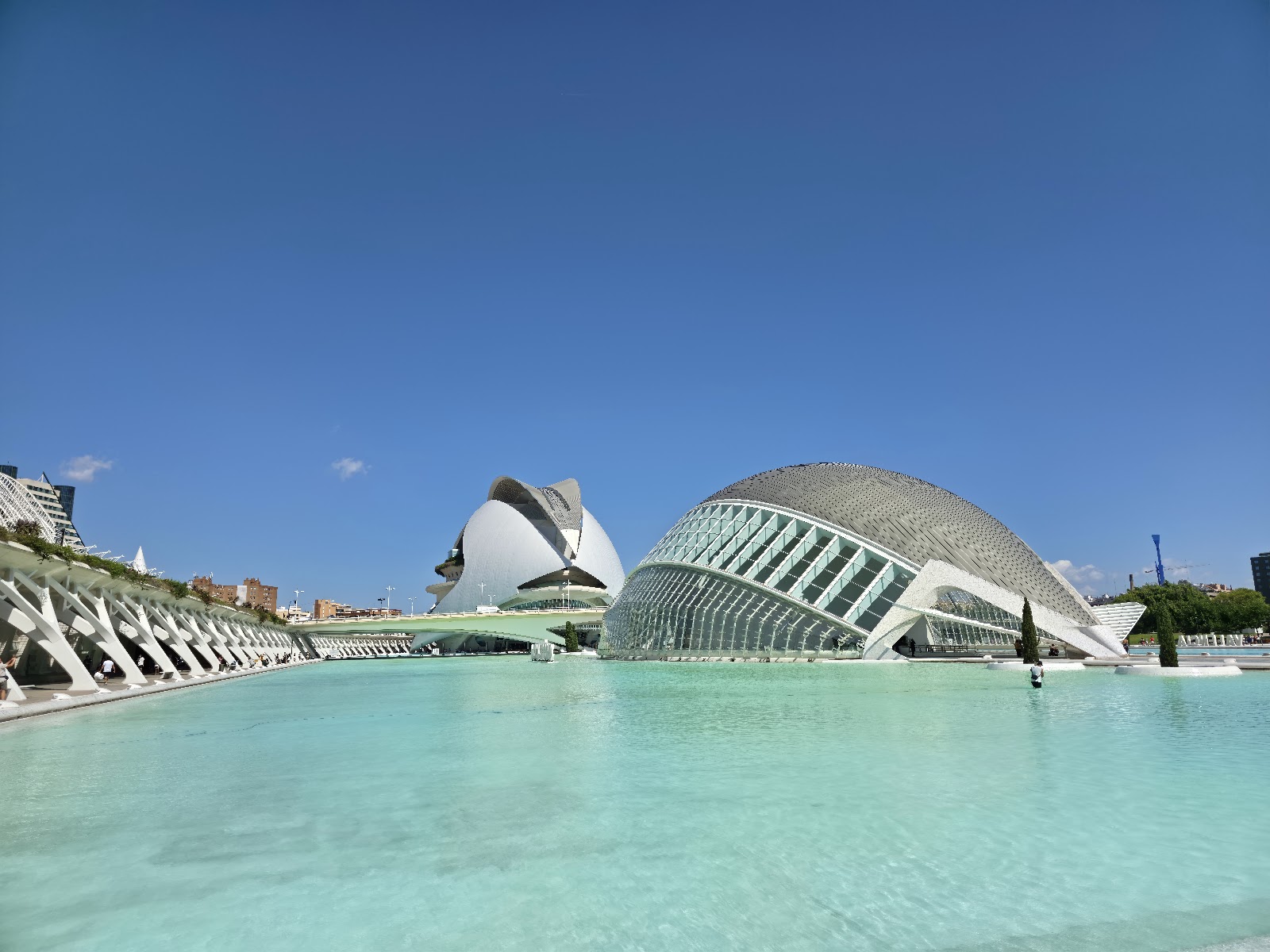
Background adapted from Wikipedia (CC BY-SA) · map data © OpenStreetMap contributors · ratings & place photos via Google · other photos with per-image credit. Ticket links may earn us a commission at no extra cost to you.