
Imerovigli
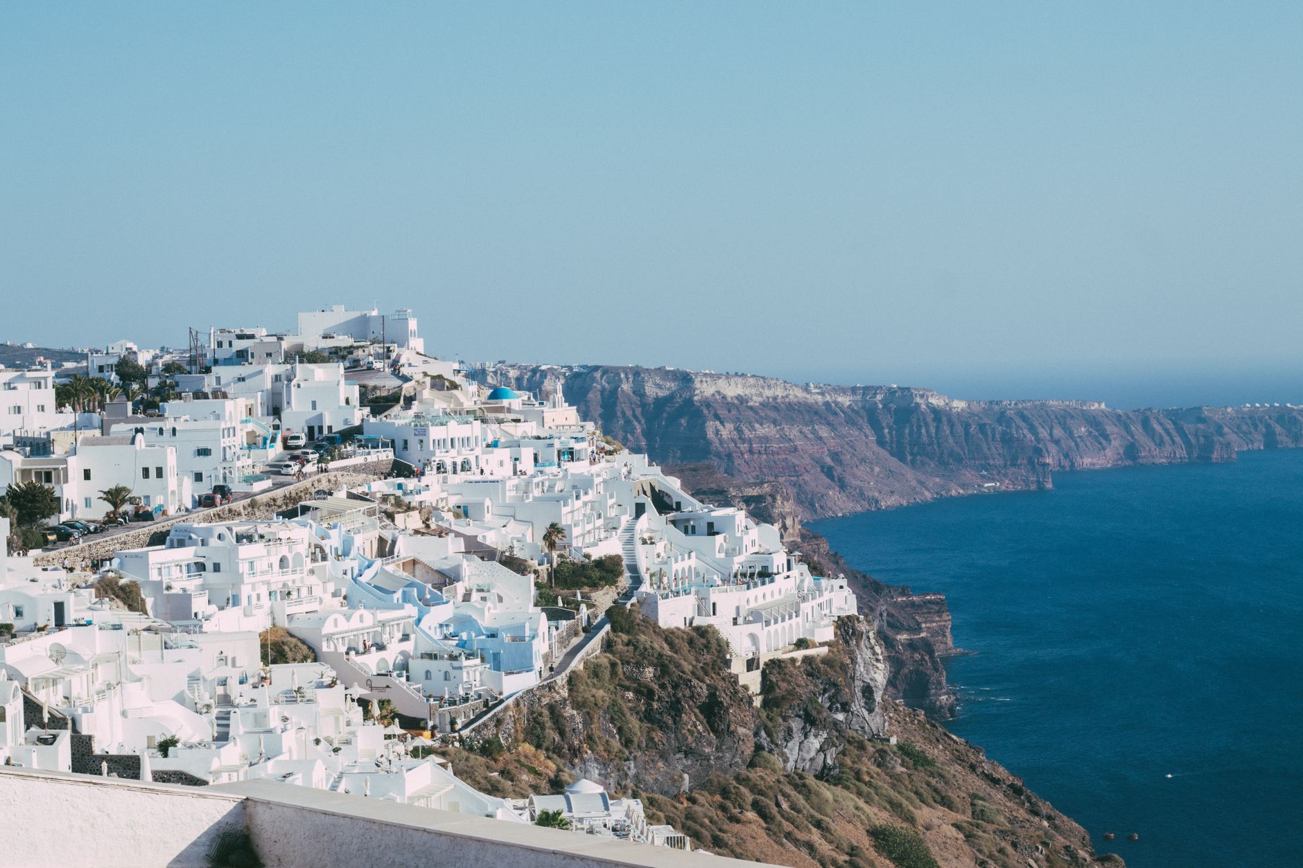
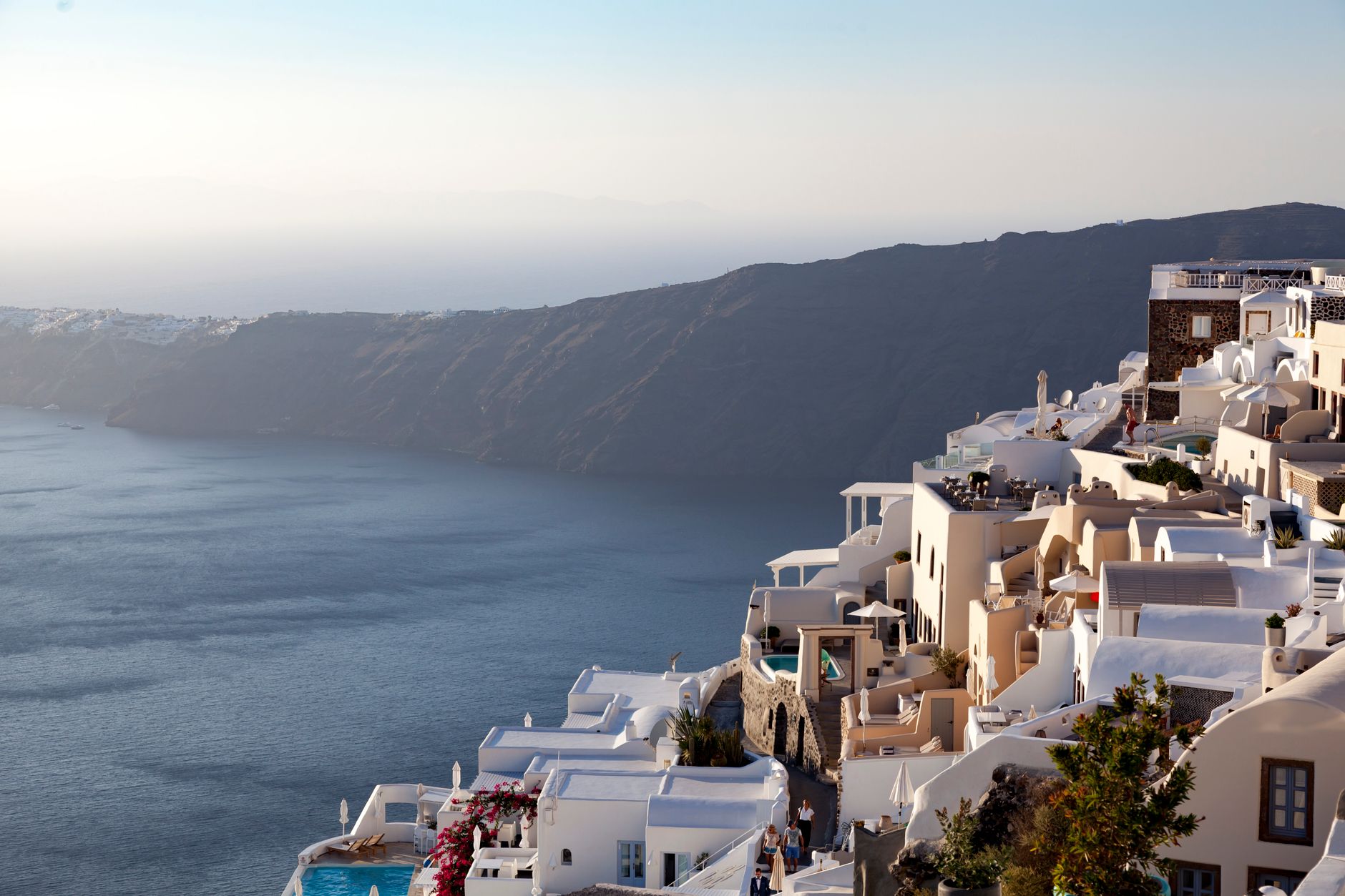
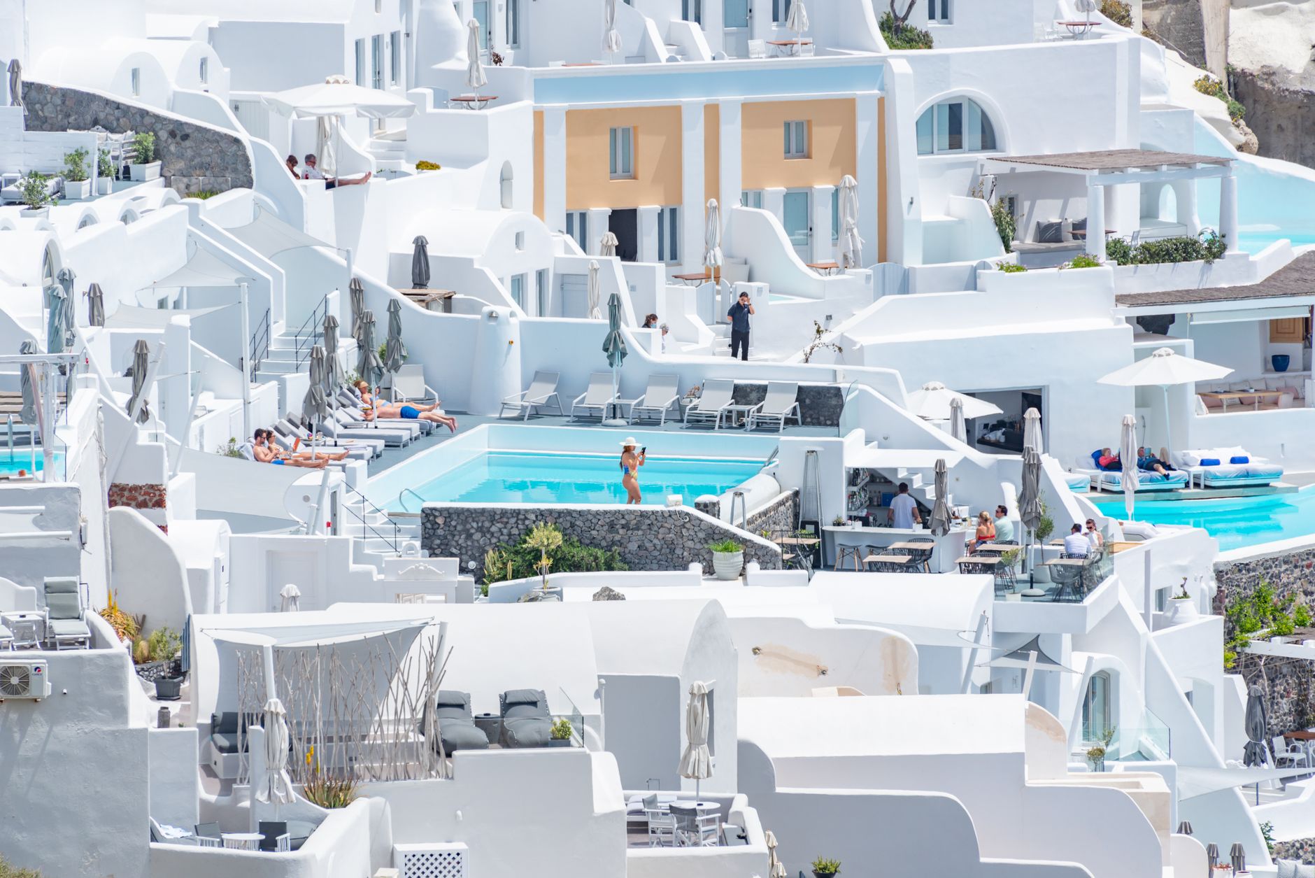
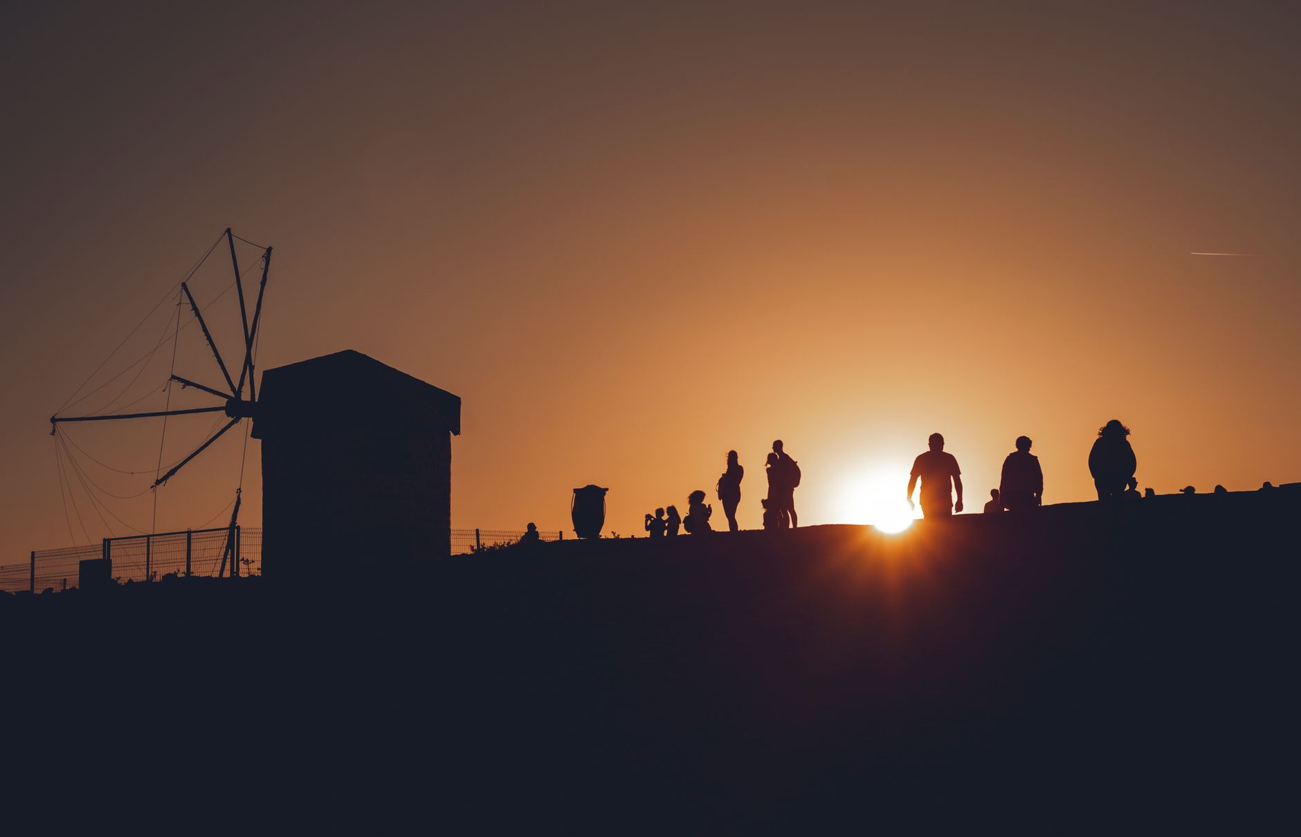
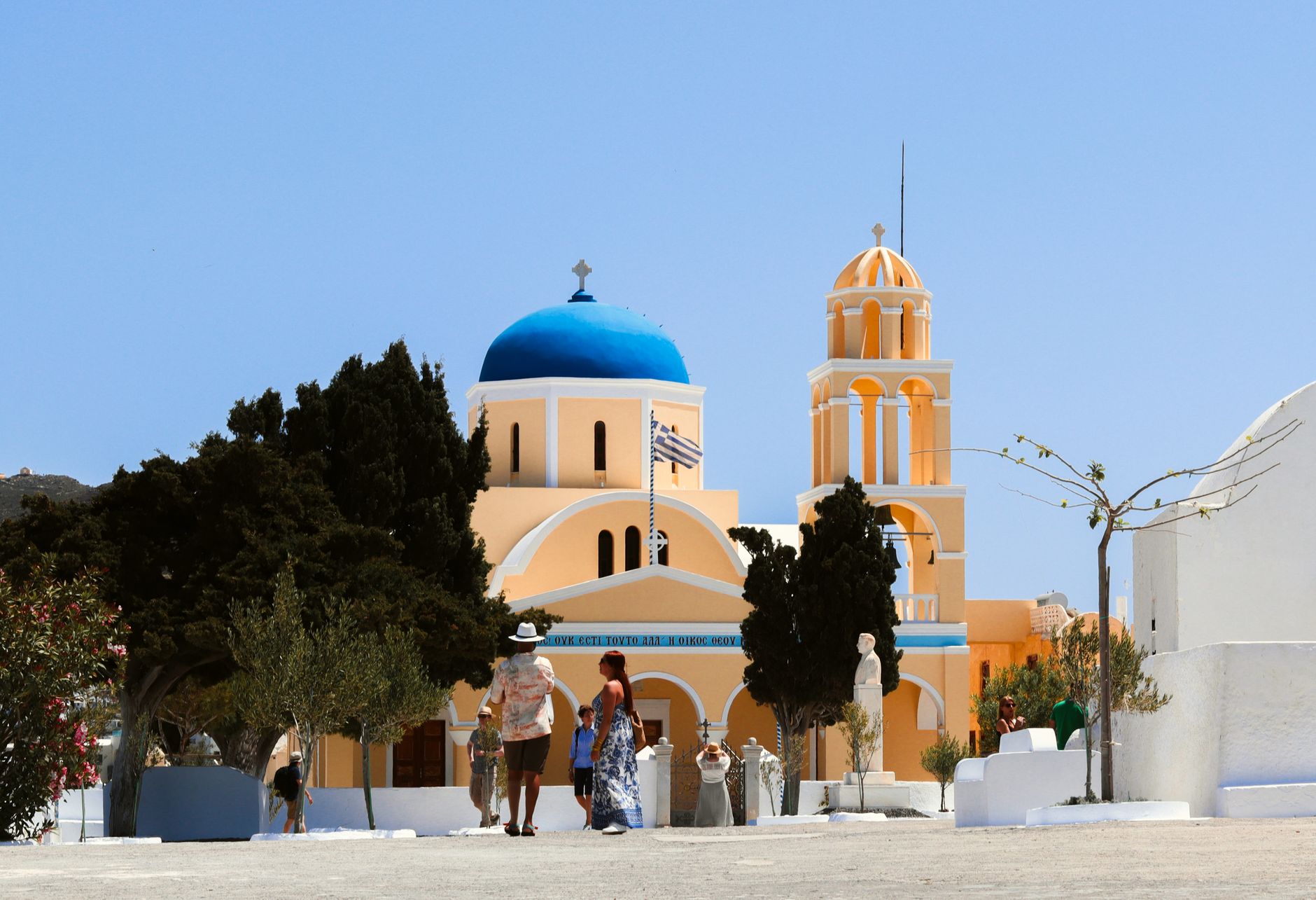
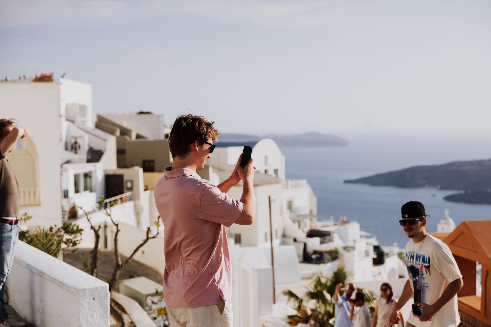
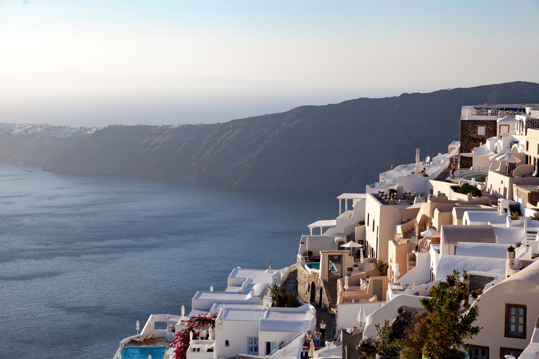
At 300 metres above the caldera, Imerovigli is the highest point on the rim — which is precisely why the Venetians made it their island capital and why, on the clearest mornings, you can watch the shadow of the volcano stretch across the water before the rest of Santorini has finished its coffee. The village has 469 permanent residents and no commercial centre to speak of: a ribbon of paved caldera path, a handful of churches, some hotels cut into the cliff face, and the dark bulk of Skaros Rock jutting into the void.
That absence of souvenir shops and tour-group staging areas is the whole point. The famous Fira-to-Oia trail passes right through, so you get the caldera view in its most undiluted form, with room to actually stop and look at it.
💛 What travellers fall for
People who walk back through on the Fira-Oia trail tend to time it so they reach Skaros Rock in the late afternoon, when the light hits the chapel of Panagia Theoskepasti at the rock's tip and the volcano sits directly in the frame. The 45-minute climb to the top is rougher than it looks from the path — wear real shoes.
Deals in Imerovigli
Book directly at the provider
How Imerovigli came to be
The name folds two words together: 'imera' (day) and 'vigla' (from the Latin vigilare, to watch), marking its long use as a daylight lookout over the sea approaches. In 1207, following the Crusader partition of Byzantine territories, a Venetian lord built a castle on Skaros Rock — the sheer promontory that still juts from the caldera wall below the village. For several centuries this was the island's capital, its inhabitants known as Kastrinoi. The volcanic eruption of Columbo in 1650 damaged the fortress; by 1817 it had been abandoned after a strong earthquake.
The 1956 earthquake, measuring 7.8, destroyed what remained of the castle and levelled most of the village itself. Imerovigli was rebuilt, and later designated a Traditional Settlement — a status that enforces the strict building regulations responsible for its current appearance.
Who and what shaped it
Landmark buildings
See Imerovigli in motion
Plan your visit
On the map
When to go
April through October is hot and dry, with June and July delivering up to 13 hours of direct sun and temperatures peaking around 28°C — significant exposure on an open caldera ridge with little natural shelter. Nearly all of the island's modest annual rainfall (350-400mm) arrives between November and February, when the village is largely shuttered.
Right now
Background & history adapted from Wikipedia (CC BY-SA) · specs from Wikidata (CC0) · weather from Open-Meteo · map data © OpenStreetMap contributors · photos from Wikimedia Commons / Unsplash with per-image credit. No third-party reviews or social posts reproduced.