
Ilhabela
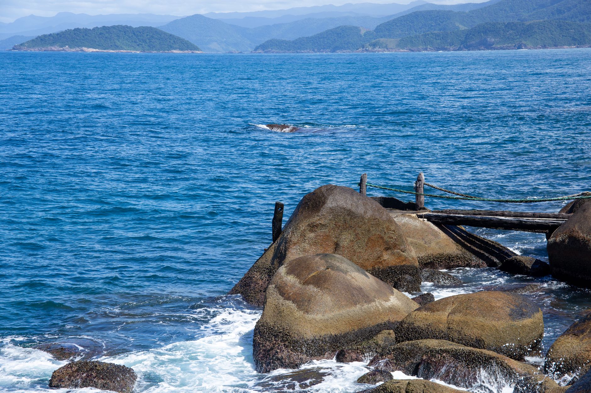
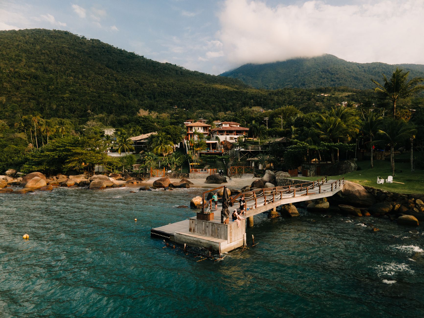
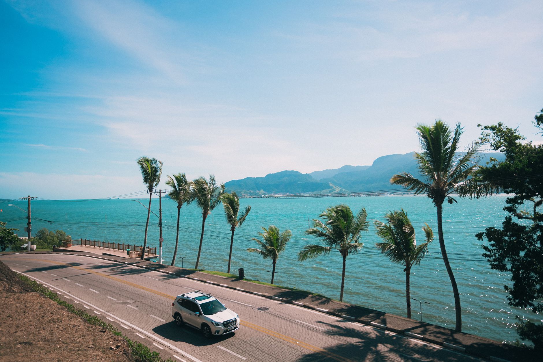
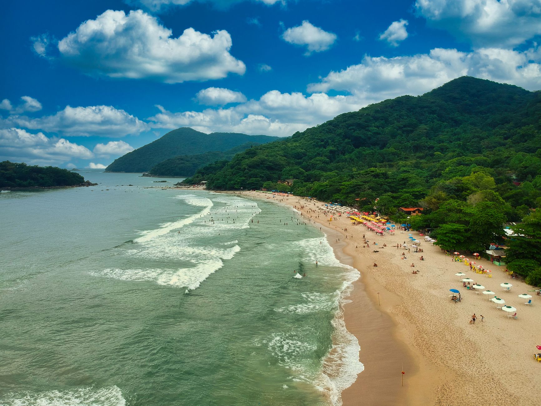
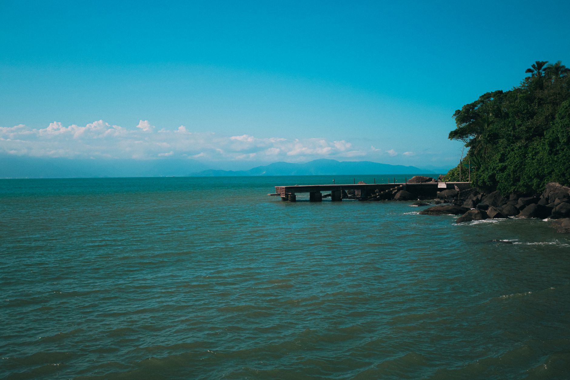
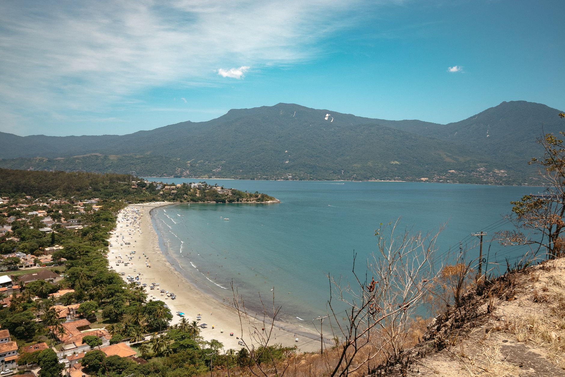
Eighty-five percent of Ilhabela is a state park and UNESCO Biosphere Reserve, which tells you something important before you even step off the ferry. The island sits in the São Sebastião channel, a 15-minute crossing from the mainland, and most of what lies beyond its narrow western strip of town is Atlantic Forest — dense, steep, threaded with waterfalls.
The west coast is where people live, eat and moor their sailboats. The east coast, exposed to open ocean, is reachable mainly by boat or on foot through the park, which is exactly why it stays the way it is.
💛 What travellers fall for
People who keep coming back tend to say the same thing: go east if you can manage it. Rent a 4×4 or hire a boat, bring more water than you think you need, and leave the main strip before 9am. The waterfalls on the park trails are coldest and quietest before the day-trippers arrive.
Deals in Ilhabela
Book directly at the provider
How Ilhabela came to be
Amerigo Vespucci arrived on January 20, 1502 — the feast day of Saint Sebastian — and the island took his name from that coincidence. The Portuguese crown kept offshore islands off-limits for much of the 16th century, wary of pirates; the first land grants here date only to 1603. Seven fortifications were eventually raised along the São Sebastião channel, and the ruins of the one at Ponta das Canas still stand.
Coffee drove the 19th century, with around thirty fazendas working the land and the population climbing toward ten thousand. Abolition in 1888 unraveled that economy almost immediately, and cachaça production — thirteen mills at its peak — filled the gap into the early 20th century. The island changed names twice under Getúlio Vargas before settling on Ilhabela in 1944, and it was declared a state park in 1977.
Who and what shaped it
People who shaped it
Landmark buildings
See Ilhabela in motion
Plan your visit
On the map
When to go
The island runs tropical, with daytime temperatures around 21°C (70°F) in the cooler months and noticeably warmer and wetter from December through March. Strong winds can delay or cancel the ferry at any time of year — worth checking local conditions before you head to the terminal.
Right now
Background & history adapted from Wikipedia (CC BY-SA) · specs from Wikidata (CC0) · weather from Open-Meteo · map data © OpenStreetMap contributors · photos from Wikimedia Commons / Unsplash with per-image credit. No third-party reviews or social posts reproduced.