
Hitiaa o te Ra
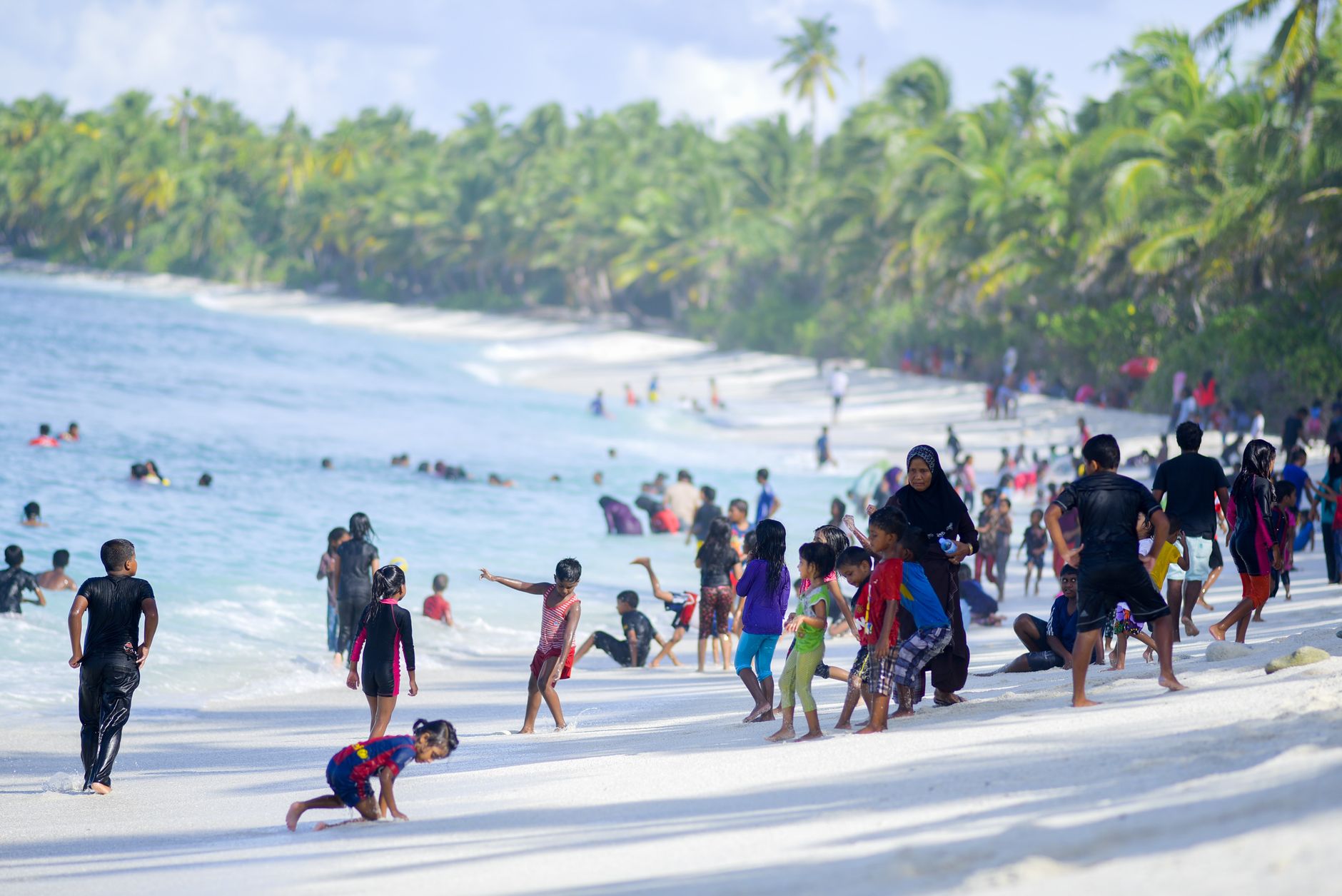
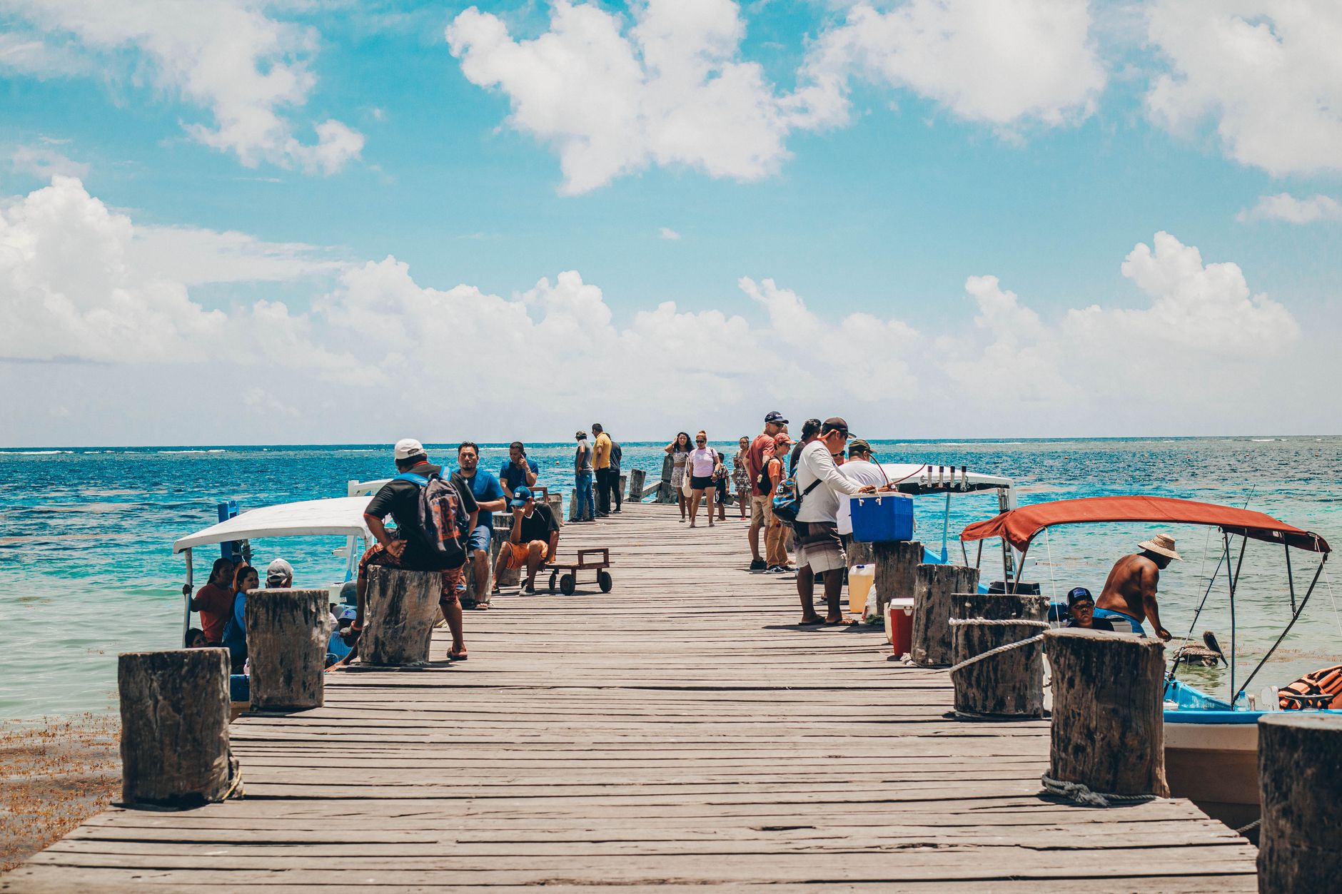

The name says it plainly: Hitiaa o te Ra means the rising of the sun, and on Tahiti's northeast coast that is exactly what you get — light arriving first, falling across a shoreline backed by forest so dense and rain-fed it stays a deep, almost implausible green. This is the windward side, which means the trade winds push clouds up against the mountains and let them go as rain, and the landscape rewards that generosity with waterfalls, lava tubes, and rivers that run clear and cold.
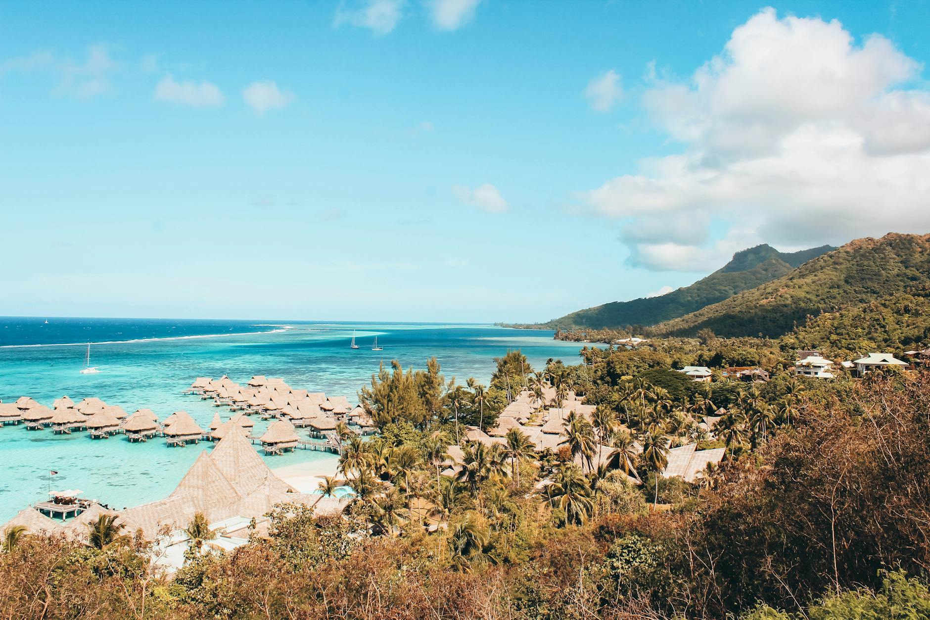
Hitiaa o te Ra is a commune of four villages — Hitiaa, Mahaena, Papenoo, and the administrative center of Tiarei — strung along the coast road. It is not where most visitors to French Polynesia end up, and that is precisely the point.
💛 What travellers fall for
People who come back tend to say the same thing about the lava tubes at Hitia'a: go early, before the light shifts. The Trois Cascades at Faaurumai in Tiarei reward anyone willing to walk past the first pool to the second and third. Bring sandals that can get wet and expect the trail to be slippery regardless of the season.
Deals in Hitiaa o te Ra
Book directly at the provider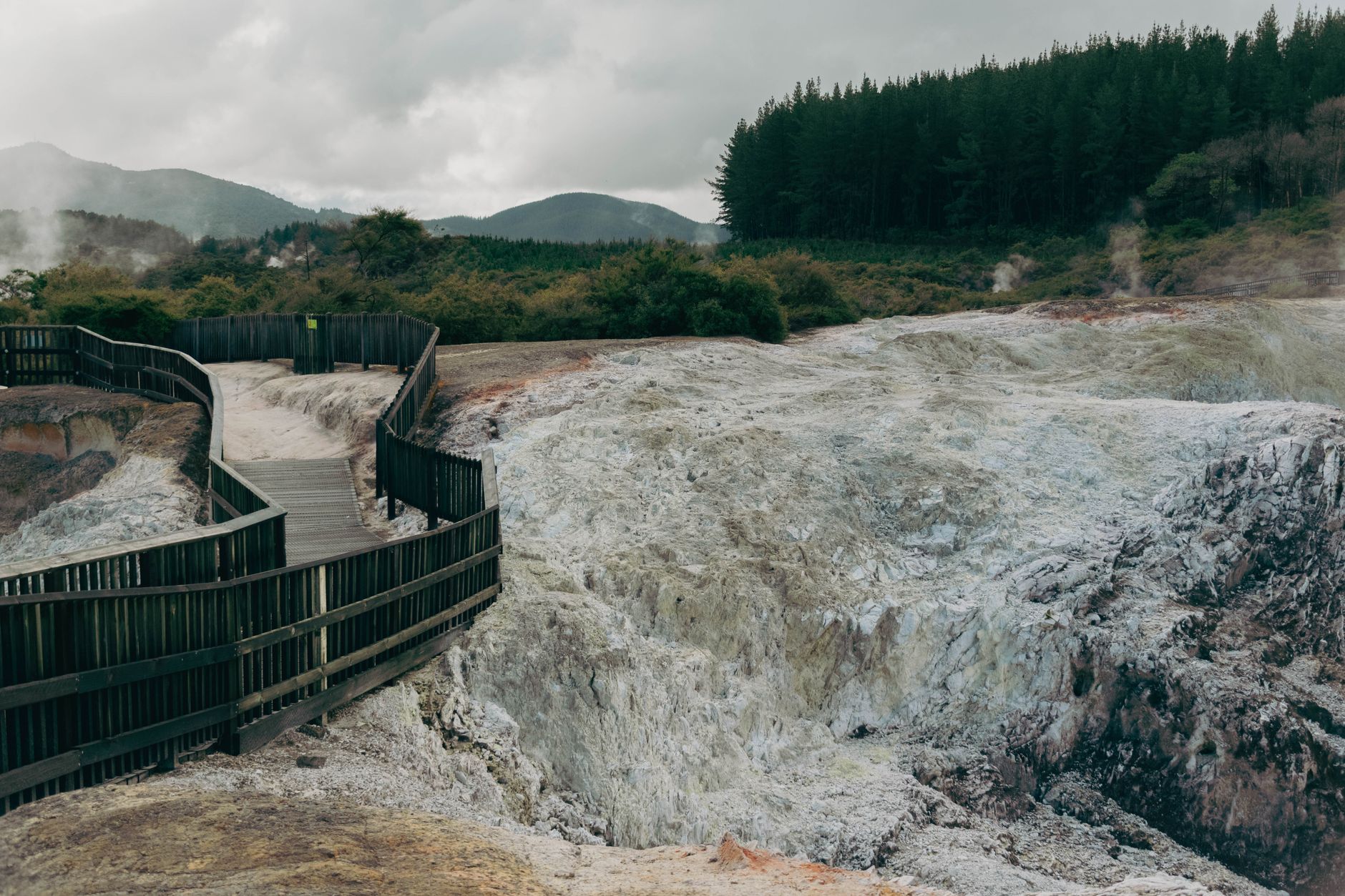

How Hitiaa o te Ra came to be
On 5 April 1768, the French navigator Louis-Antoine de Bougainville dropped anchor off this stretch of coast and was received by the local chief, Reti. It was one of the earliest recorded European arrivals on Tahiti's eastern shore, and the welcome Reti extended shaped the accounts Bougainville carried back to Europe — accounts that fed a century of French fascination with the South Pacific.
The place's name predates that encounter by generations. Hitiaa o te Ra — the levée of the day star — tells you how the people here understood their position on the island: facing the direction from which light and weather both arrive, on a coast that has always been defined by what the ocean sends in.
Who and what shaped it
People who shaped it
Landmark buildings
See Hitiaa o te Ra in motion
Plan your visit
On the map
When to go
Temperatures sit between roughly 21°C and 31°C year-round, with the May-to-October dry season offering the most reliable sunshine and lower humidity — though 'dry' is relative on a coast that receives around 3,500 mm of rain annually. November through April is warmer and wetter, with occasional cyclone risk; the forest turns even more extravagant, but river trails can close after heavy rain.
Right now
Background & history adapted from Wikipedia (CC BY-SA) · specs from Wikidata (CC0) · weather from Open-Meteo · map data © OpenStreetMap contributors · photos from Wikimedia Commons / Unsplash with per-image credit. No third-party reviews or social posts reproduced.