
Hervey Bay
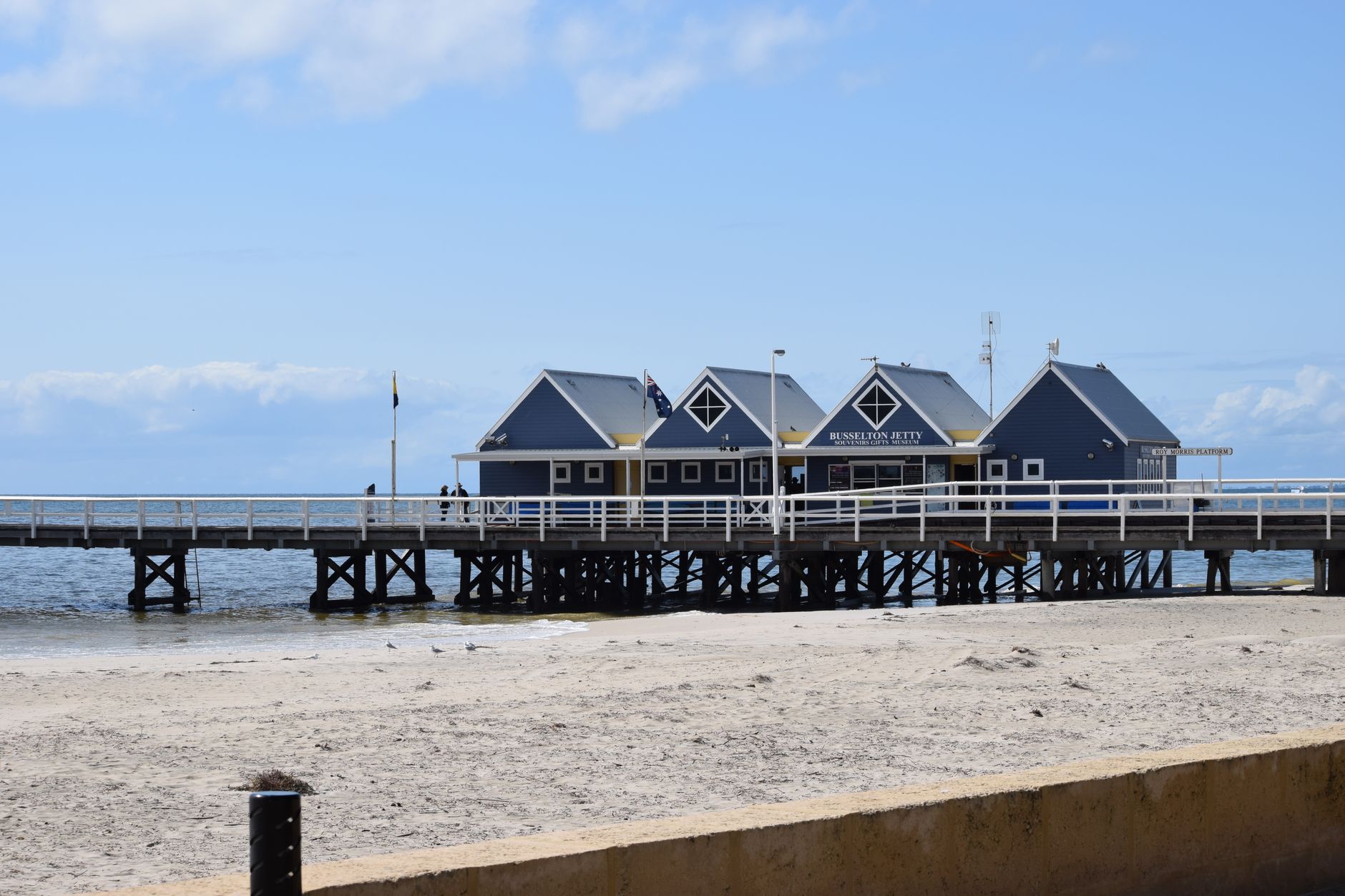
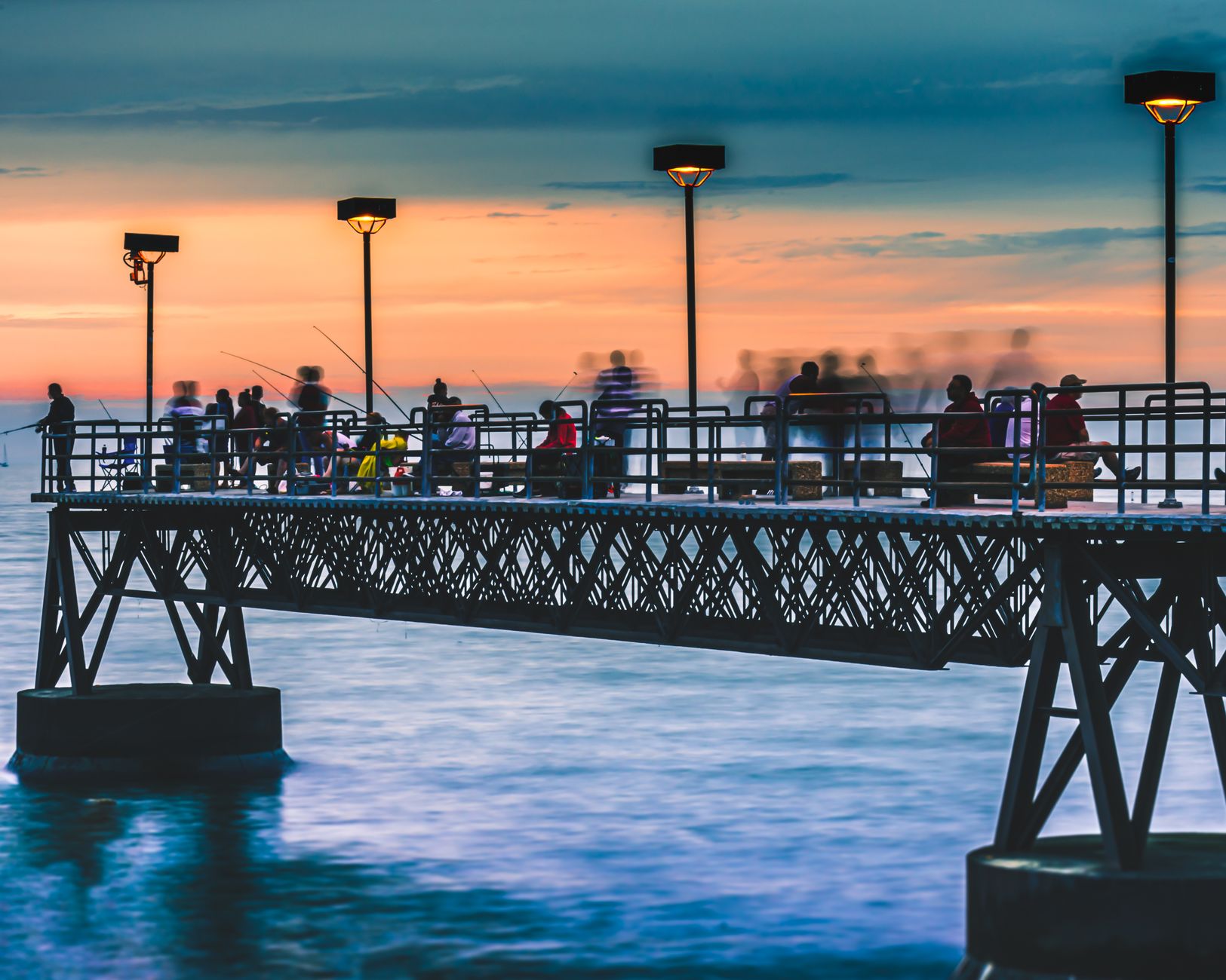
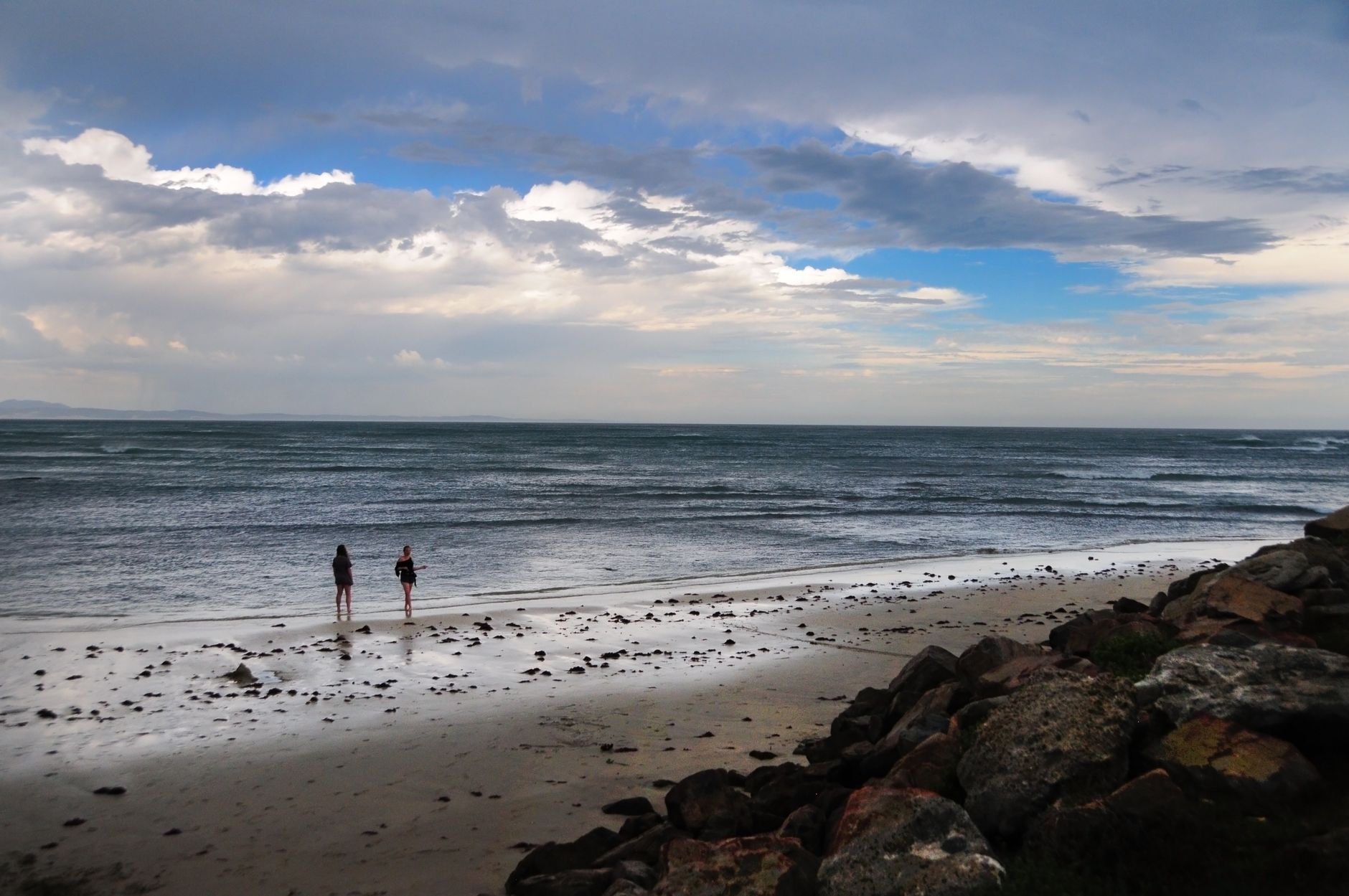
Stand at the end of Urangan Pier — all 868 metres of it, Queensland's longest — and you'll understand what Hervey Bay is actually about: water, patience, and scale. The bay faces west, which means sunsets land directly on the beach rather than behind it, and the shallow protected waters stay calm enough that humpback whales treat this stretch of coast as a rest stop each year between July and October, arriving with calves in tow.
The city spreads along 14 kilometres of esplanade from Urangan Harbour to Gatakers Bay, breaking into distinct neighbourhoods — Torquay and Scarness for holiday energy, Urangan for fishing, Pialba for errands, Point Vernon for quieter mornings. K'gari (Fraser Island), a World Heritage-listed sand island, sits just offshore and shapes almost everything about how people move through this place.
💛 What travellers fall for
Regulars tend to agree: book a whale-watching tour for early August rather than late in the season — the calves are newer and the mothers more active. Walk the Esplanade at low tide when the mudflats expose themselves and the birds arrive. And eat at the harbour end of Urangan rather than the tourist strip closer to Scarness.
Deals in Hervey Bay
Book directly at the provider
How Hervey Bay came to be
Captain James Cook named the bay in 1770 after Augustus John Hervey, a career naval officer who would later become Third Earl of Bristol and rise to command the Mediterranean fleet. The Butchulla people had already been here for tens of thousands of years — their fish traps and shell middens remain part of the landscape. European settlement began in earnest in 1852 when pastoralist Andrew Dougall made the first recorded land purchase, and the town took shape in the 1860s as a port for wool and meat.
Urangan Pier went up in 1913 to serve the export of sugar and coal, and the railway extension that accompanied it fixed the town's economic logic for decades. The City of Hervey Bay was officially proclaimed on 18 February 1984, and in 2008 it merged into the Fraser Coast Regional Council alongside Maryborough and surrounding shires.
Who and what shaped it
People who shaped it
Landmark buildings
See Hervey Bay in motion
Plan your visit
On the map
When to go
Winters here (June to August) are genuinely mild and dry — maxima around 22°C — which is also when the humpbacks pass through, making it the most rewarding time to visit. Summers run hot and wet, with February averaging 153mm of rain and cyclone risk highest between January and March.
Right now
Background & history adapted from Wikipedia (CC BY-SA) · specs from Wikidata (CC0) · weather from Open-Meteo · map data © OpenStreetMap contributors · photos from Wikimedia Commons / Unsplash with per-image credit. No third-party reviews or social posts reproduced.