
Gorakshep
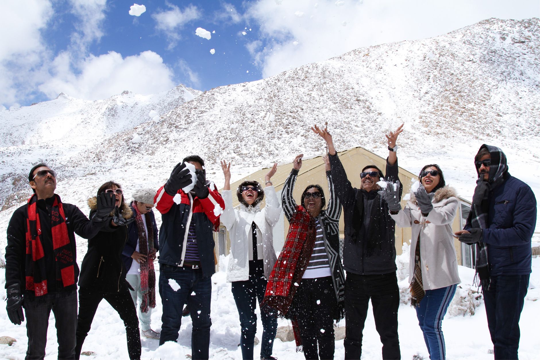
At 5,164 metres, Gorakshep sits on the dried bed of a glacial lake — a flat, sandy expanse ringed by ice and rock where five to eight lodges constitute the entire settlement. Most of the year the place is empty, shuttered against cold that drops to -20°C and winds that scour the valley clean. Lodge operators return only for the spring and autumn trekking seasons, when the dining rooms fill with people whose water bottles froze overnight and who are learning, at altitude, how little oxygen they actually need.
This is the last stop before Everest Base Camp, roughly two hours' walk up the moraine, and the staging point for Kala Patthar — the 5,550-metre ridge where you finally get the unobstructed view of Everest that Base Camp itself, blocked by Nuptse, cannot offer.
💛 What travellers fall for
Regulars on this route will tell you: book your lodge bunk early in autumn, because in peak October the dining-room floor becomes overflow sleeping. Carry a dry bag for your water bottle and sleep with it inside your sleeping bag. And do Kala Patthar at dawn, not midday — the light is different and the crowds aren't there yet.
Deals in Gorakshep
Book directly at the provider


How Gorakshep came to be
Before the lodges existed, Gorakshep was simply a stopping point on the approach to Everest — a frozen lake bed at the edge of the known. Swiss climbers used it as their base during the 1952 attempt on the mountain, the year before the summit was reached. When Tenzing Norgay and Edmund Hillary made their 1953 ascent, this terrain was already part of the route they knew.
As Everest attempts multiplied, the main base camp shifted closer to the Khumbu Icefall, and Gorakshep settled into its current role: a loose cluster of teahouses that blink open in spring and autumn and go dark again between seasons. From the 1990s onward, lodges like Himalayan Lodge, Snowland Highest Inn, and Gorakshep Yeti Resort have held the ground, offering beds and dal bhat at the edge of what a permanent human habitation can reasonably be.
Who and what shaped it
People who shaped it
Landmark buildings
See Gorakshep in motion
Plan your visit
On the map
When to go
Spring (March–May) brings the clearest skies and the main trekking crowds; autumn (October–November) is equally sharp, with post-monsoon air that photographers favour, though October nights regularly fall below -15°C and water freezes inside the lodges. Avoid the monsoon months entirely — persistent cloud, heavy precipitation, and trail erosion make the approach miserable and the peaks invisible.
Right now
Background & history adapted from Wikipedia (CC BY-SA) · specs from Wikidata (CC0) · weather from Open-Meteo · map data © OpenStreetMap contributors · photos from Wikimedia Commons / Unsplash with per-image credit. No third-party reviews or social posts reproduced.