
Gokyo
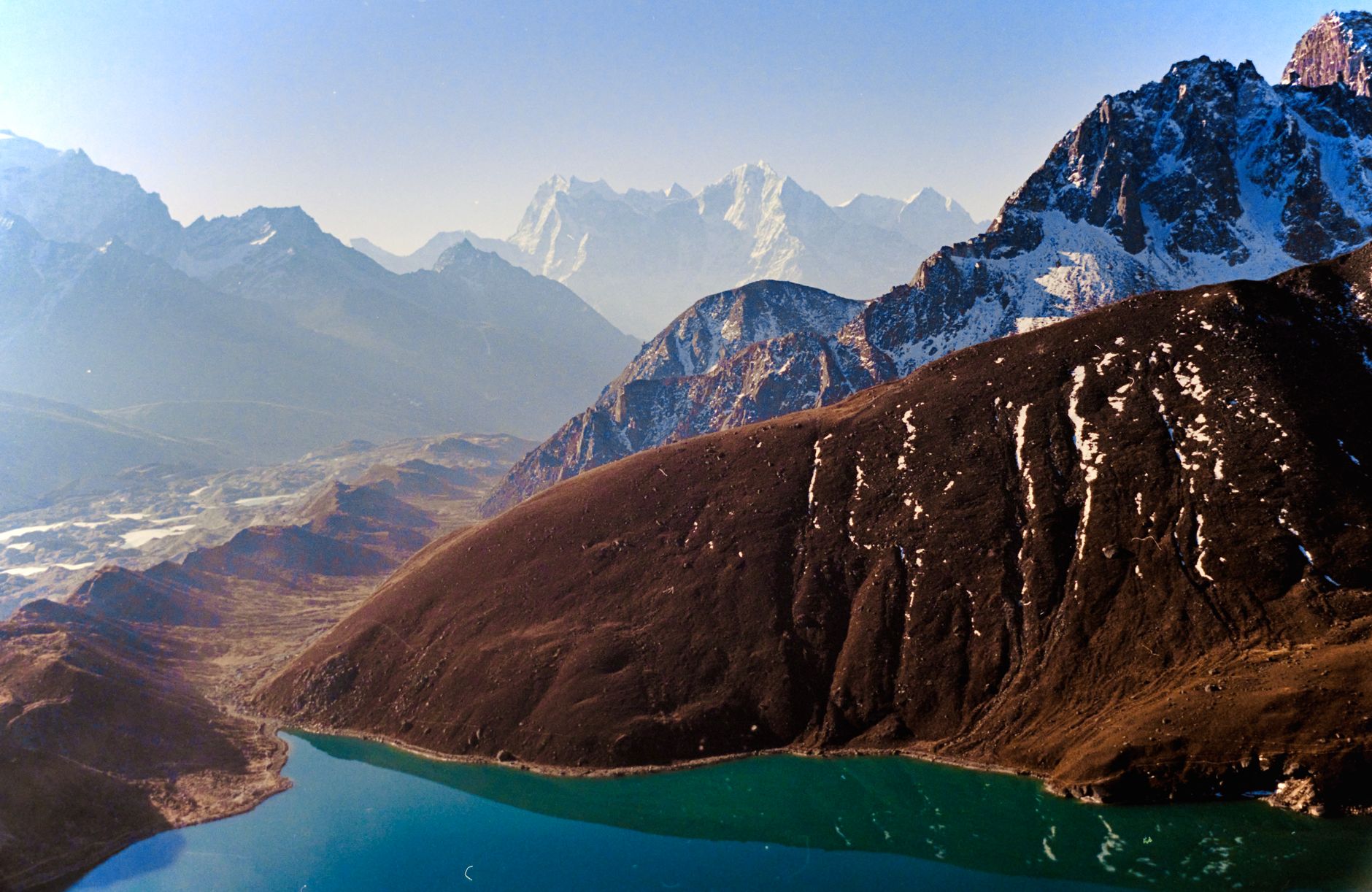
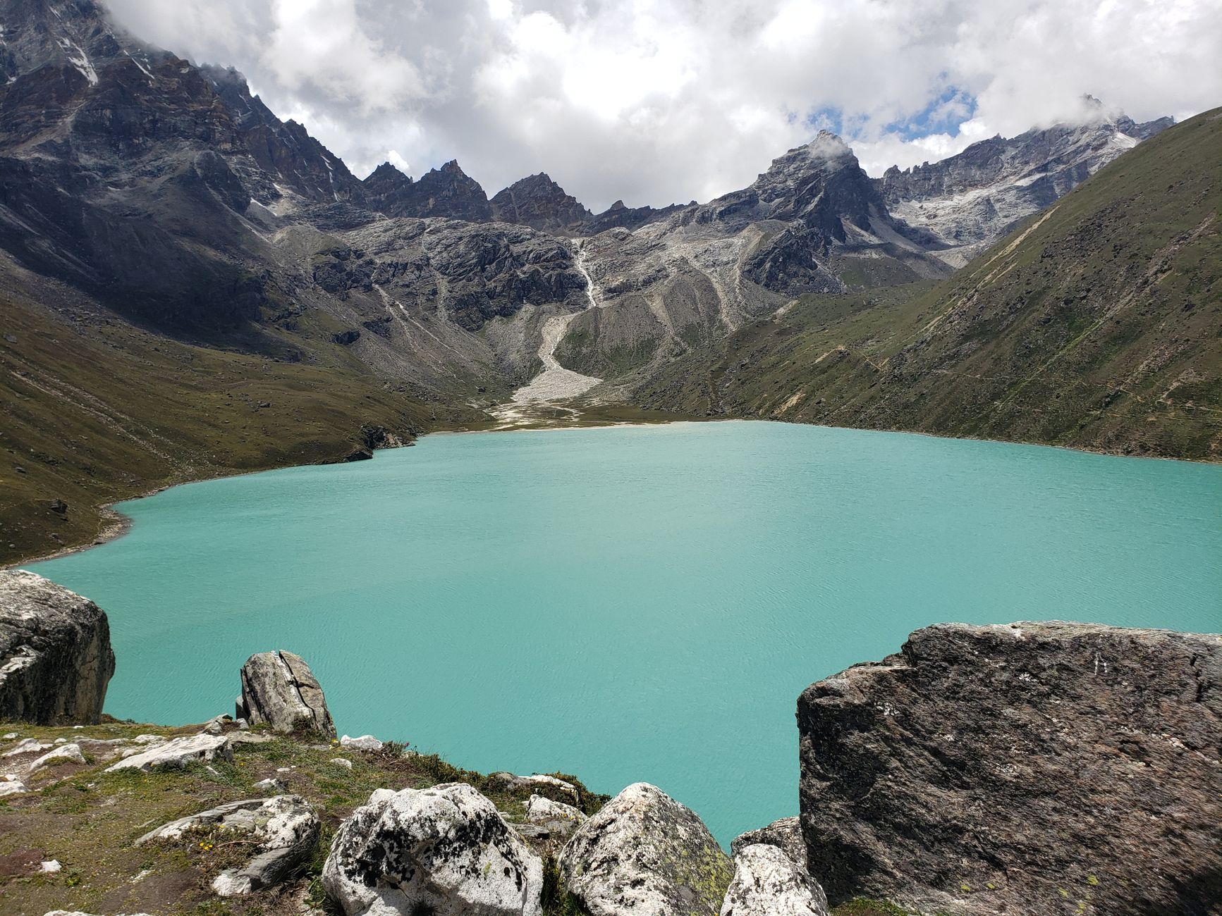
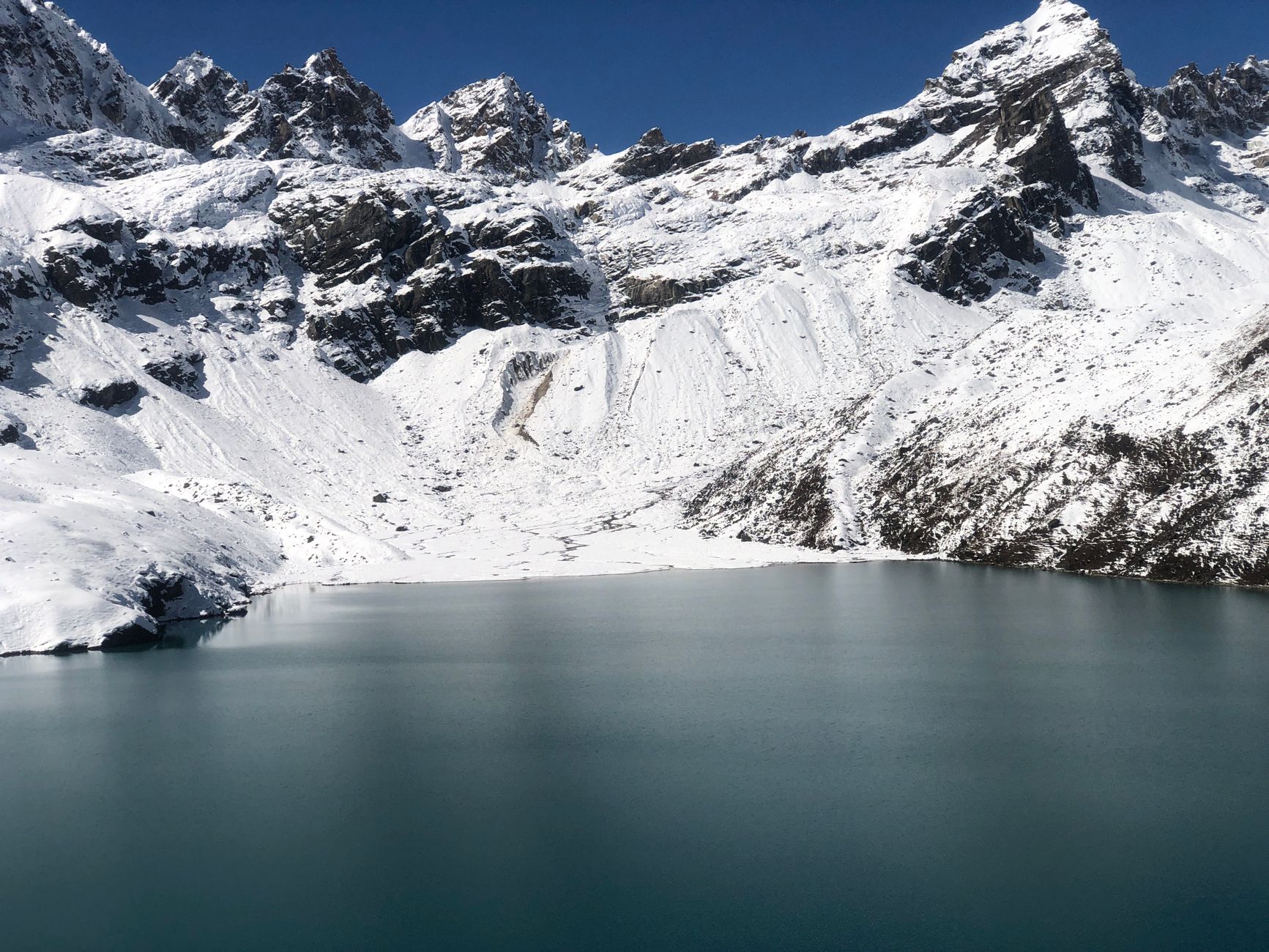
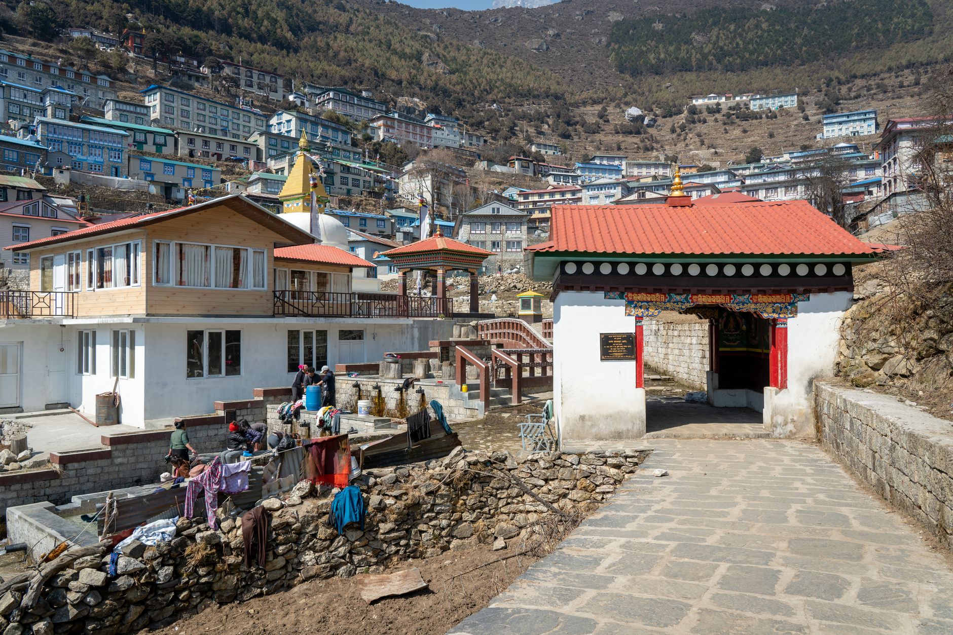
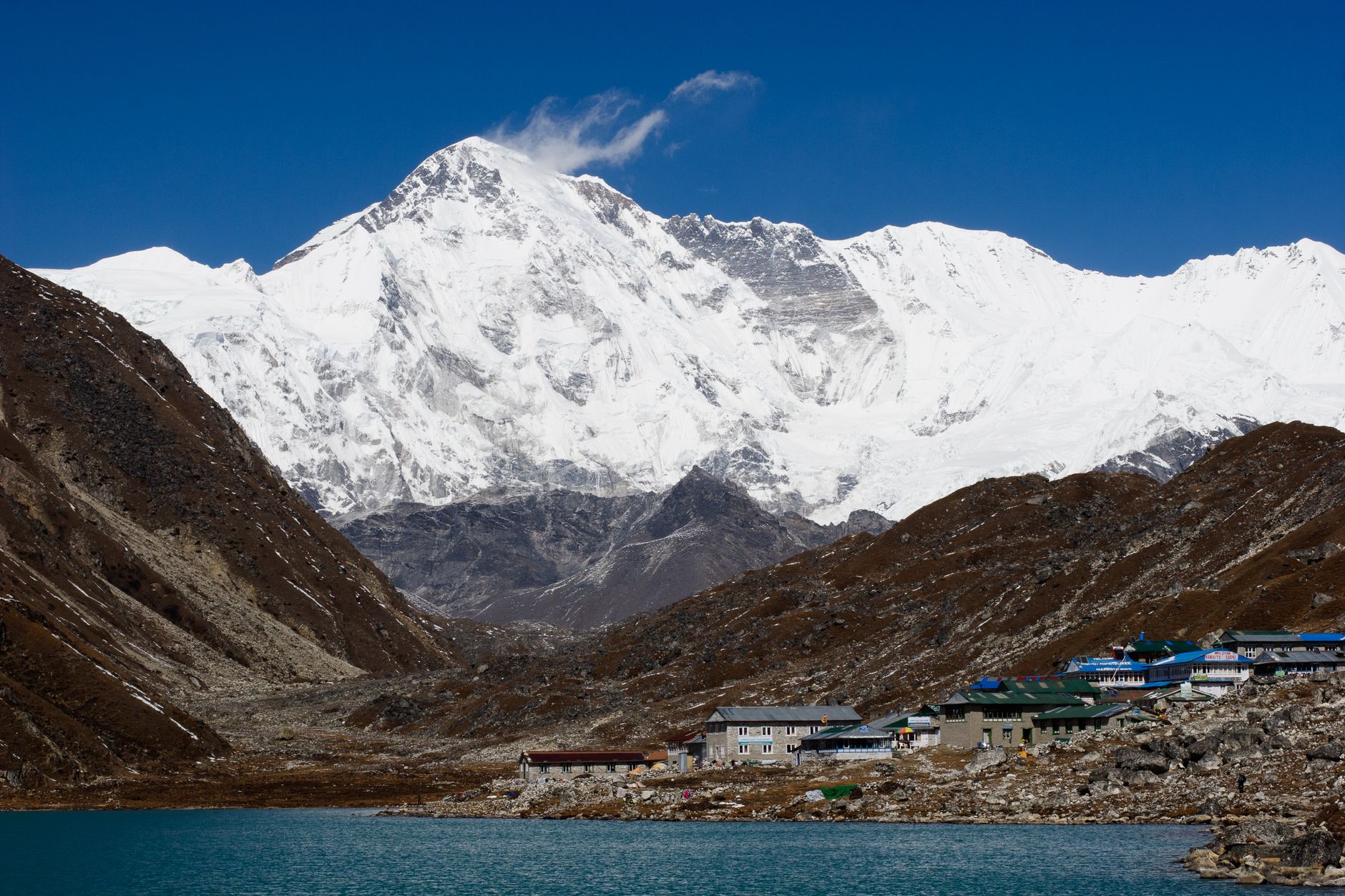
At 4,750 metres, Gokyo sits on the eastern shore of Dudh Pokhari — Milk Lake — where the water holds a cold, pale blue that has nothing to do with the sky. Almost every building in the village is a tea house, which tells you exactly what kind of place this is: a staging post, a breath-catcher, a spot where trekkers eat dal bhat twice a day and watch the Ngozumpa Glacier, the largest in the Himalayas, creak imperceptibly westward.
The reason to push past the better-known trails and come here is Gokyo Ri. From that 5,357-metre summit, four of the world's fourteen eight-thousanders — Everest, Lhotse, Makalu, Cho Oyu — arrange themselves across the horizon at once. No other single viewpoint in the Khumbu offers that count.
💛 What travellers fall for
People who've done this route more than once tend to agree on one thing: acclimatise an extra day in the valley before attempting Gokyo Ri. The three-hour climb from the village looks manageable on paper and punishes overconfidence at altitude. Start before dawn and you'll have the summit mostly to yourself.
Deals in Gokyo
Book directly at the provider

How Gokyo came to be
The Sherpa people have long held the Gokyo lakes as sacred, and the valley's spiritual life predates any trekking infrastructure by centuries. The wider world's attention arrived in the 20th century, as expeditions began moving through Solukhumbu District toward the high peaks — the 1953 Hillary team passed through the broader Khumbu region on their way to Everest's first ascent.
In September 2007, Gokyo's wetland system — 7,770 hectares of glacial lakes and high-altitude marsh — was designated a Ramsar site, recognising its ecological significance. The valley carries a harder memory too: in 1995 an avalanche killed 42 people here, among them trekkers from Japan, Canada, Ireland and Germany.
Who and what shaped it
Landmark buildings
See Gokyo in motion
Plan your visit
On the map
When to go
Spring (March to May) brings the most reliable trekking conditions, with daytime temperatures between 10°C and 20°C at lower elevations, though nights at Gokyo village itself stay well below freezing. The mean annual temperature sits around -5.5°C, and the village empties in winter when residents move to lower settlements.
Right now
Background & history adapted from Wikipedia (CC BY-SA) · specs from Wikidata (CC0) · weather from Open-Meteo · map data © OpenStreetMap contributors · photos from Wikimedia Commons / Unsplash with per-image credit. No third-party reviews or social posts reproduced.