
Ghatkopar
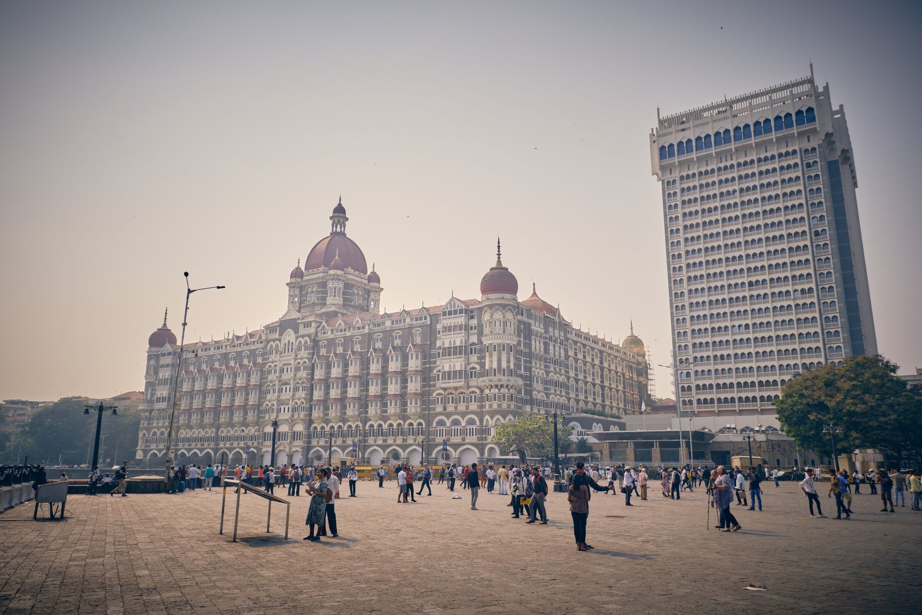
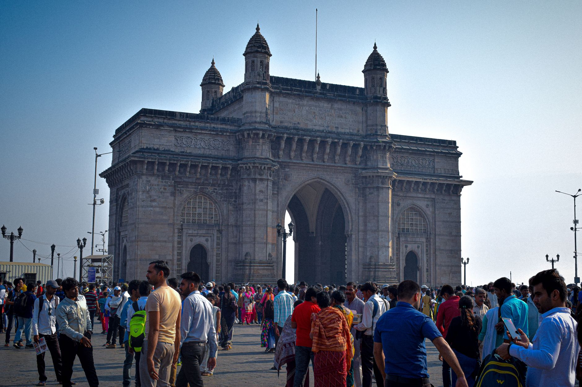
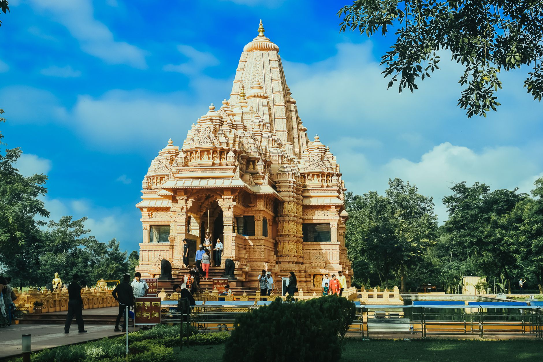
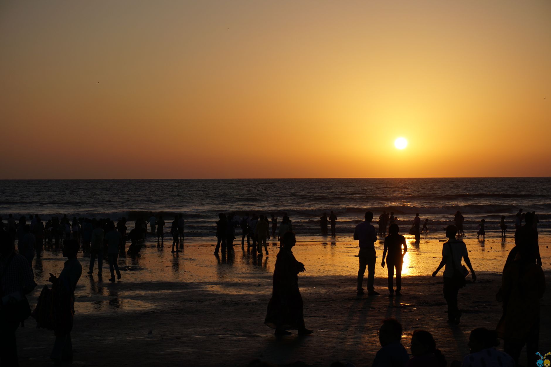
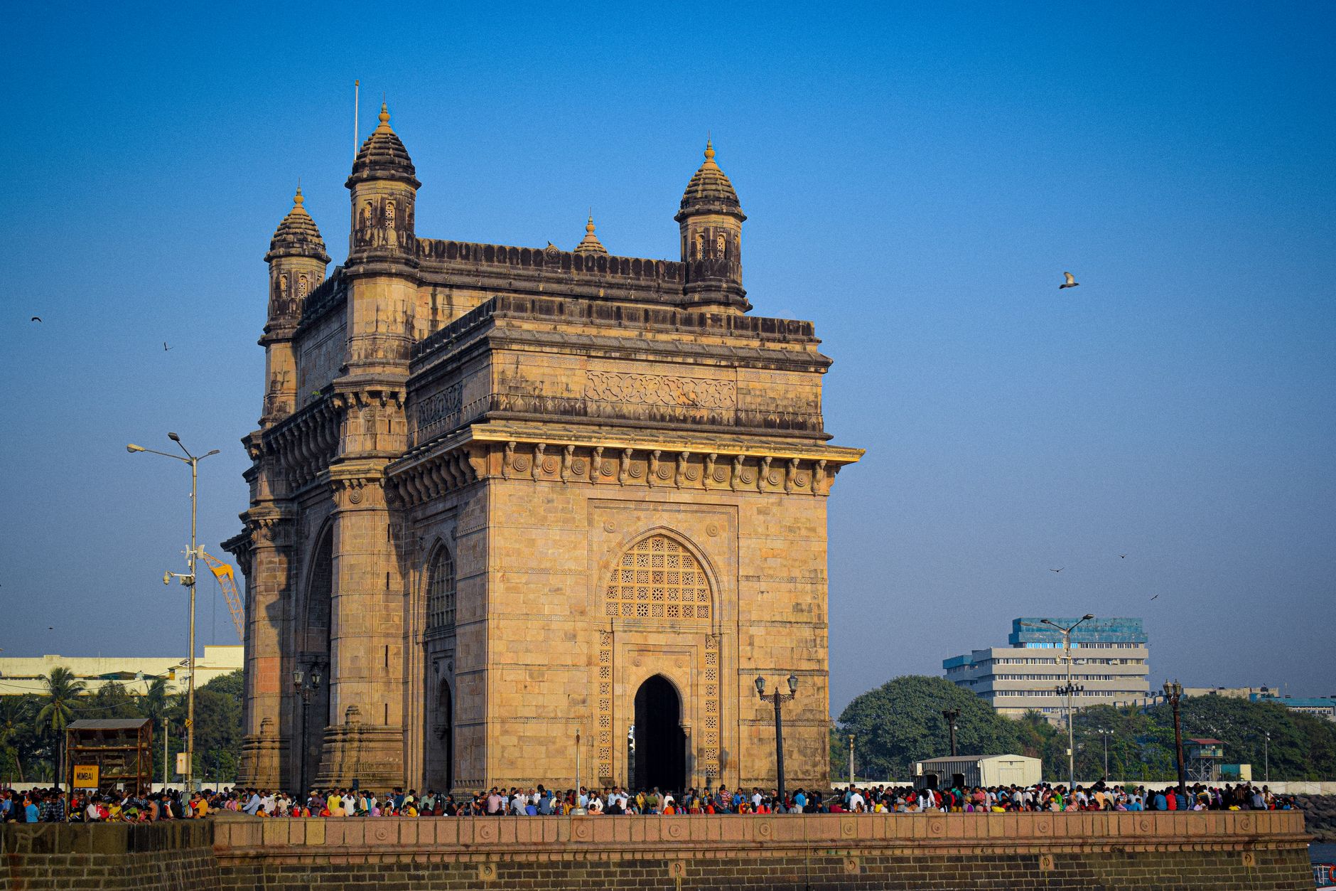
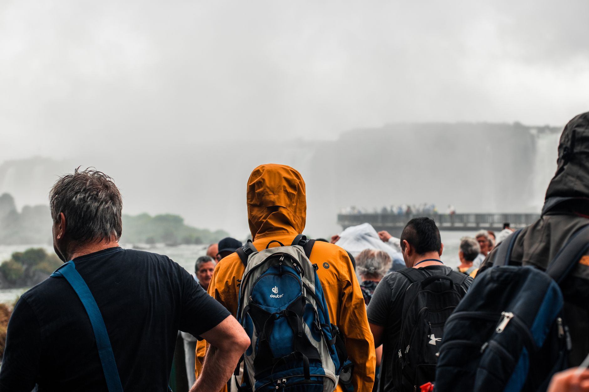
Ghatkopar earns its reputation as Mumbai's eastern hinge point — the place where the Central Line railway and the Blue Line metro meet, funnelling nearly half a million commuters a day through a single interchange. A skywalk links the two stations so you don't have to touch the street if you're in a hurry, though the street is exactly where things get interesting.
The neighbourhood runs on two distinct registers: the temples and old gardens of a former village, and the khau galli food lanes of Ghatkopar East that fill every evening with queues for pani puri and dosa. The population is largely Marathi and Gujarati, and the Gujarati presence is dense enough that locals call the area mini-Gujarat.
💛 What travellers fall for
People who pass through regularly tend to make time for Rajawadi — the garden is bigger and quieter than you'd expect this close to a major interchange, with mature indigenous trees that have been there long enough to give real shade. The evening food street in Ghatkopar East is worth timing your arrival around; the vegetarian spread is the point, not a consolation.
Deals in Ghatkopar
Book directly at the provider


How Ghatkopar came to be
The name itself is a geographical description: ghat for ridge or pass, kopar for corner or edge — Ghatkopar sat at the fringe of the Western Ghats where the land met Thane Creek. Before colonial administration consolidated the region, it was one of many small agrarian hamlets in Salsette Taluka, sustained by subsistence farming and salt extraction from the surrounding pans and marshlands.
By 1916, the settlement had grown enough to warrant its own municipal council, the Ghatkopar-Kirol council. The railway station opened in 1877, a century before the suburb's character fully set. Ghatkopar was absorbed into Greater Bombay in 1945, and the metro station that made it a true interchange opened on 8 June 2014.
Who and what shaped it
Landmark buildings
See Ghatkopar in motion
Plan your visit
On the map
When to go
December through February is the most comfortable window — temperatures sit between 20 and 25°C, and the humidity, while never absent, is manageable. The monsoon, roughly June through September, brings heavy daily rainfall and the real risk of localised flooding near the creek systems; the food lanes and temples are still there, but navigating them requires patience and waterproof footwear.
Right now
Background & history adapted from Wikipedia (CC BY-SA) · specs from Wikidata (CC0) · weather from Open-Meteo · map data © OpenStreetMap contributors · photos from Wikimedia Commons / Unsplash with per-image credit. No third-party reviews or social posts reproduced.