
Fort Saint-Jean
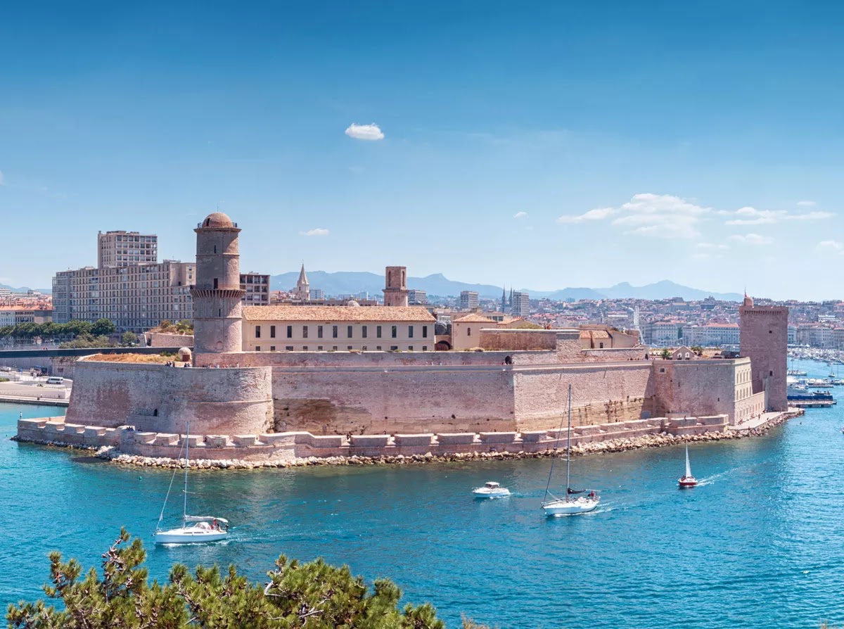
The cannons at Fort Saint-Jean point the wrong way. Not out to sea, not toward any foreign fleet — but inward, trained on the city of Marseille itself. Louis XIV had them positioned that way deliberately, after the locals made clear they were not entirely pleased with royal governance. That detail, more than any rampart or tower, tells you what kind of place this is.
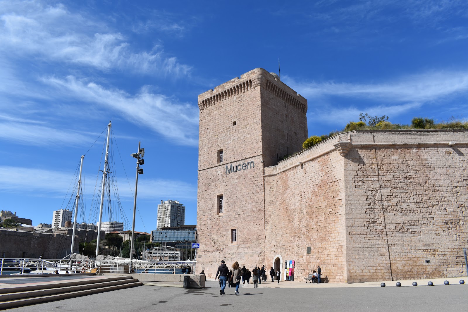
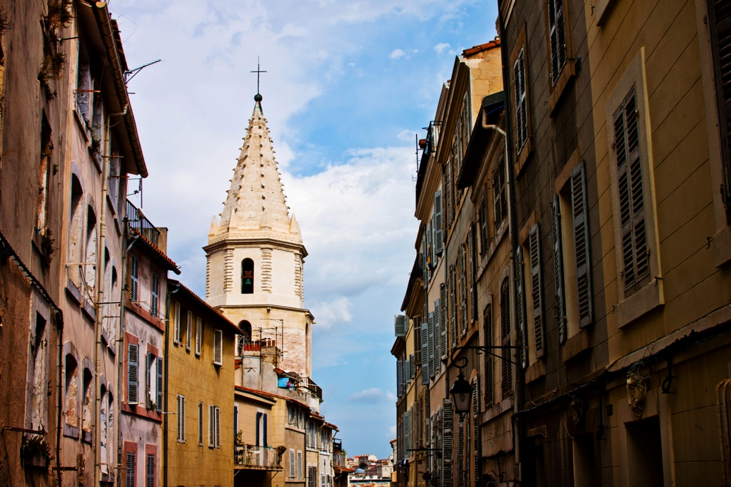
Standing twenty metres above the Old Port on its rocky promontory, the fort has been a Hospitaller commandery, a revolutionary prison, a German munitions depot, and now a sprawling outdoor site of gardens, medieval towers, and footbridges connecting it to Le Panier and MuCEM.
💛 What travellers fall for
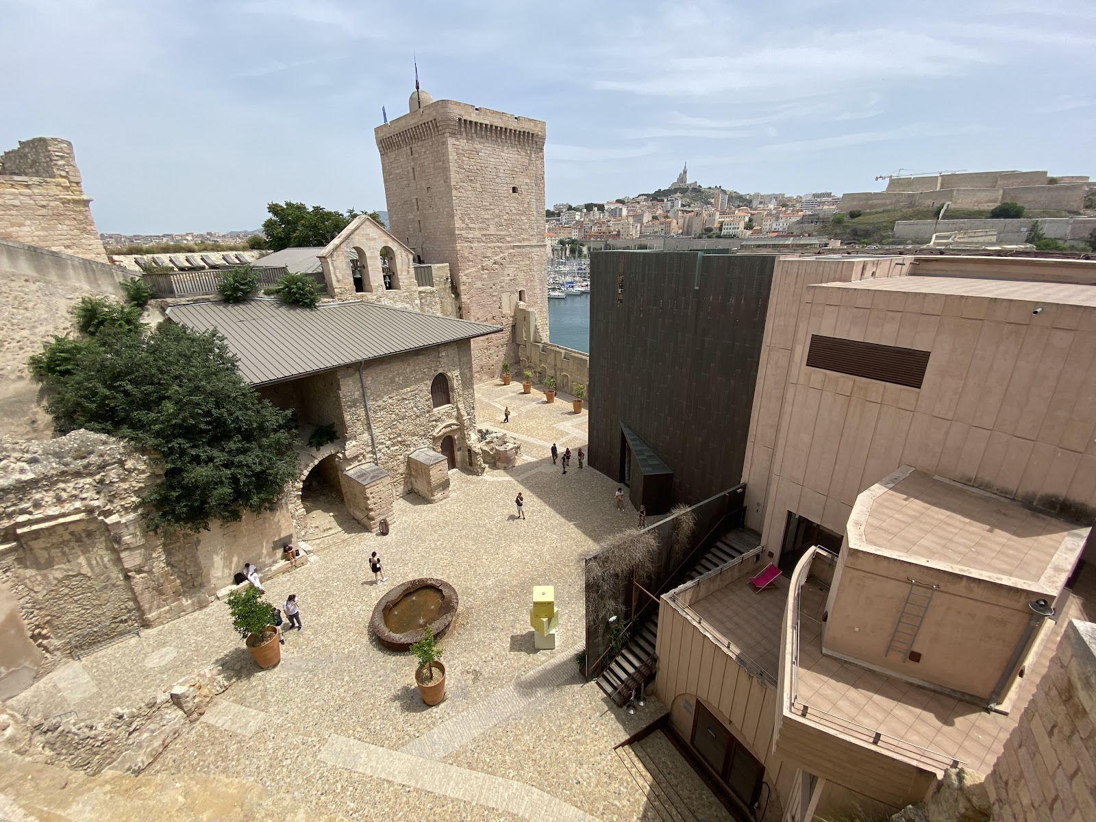
People who come back tend to time it for a Friday evening in summer, when the fort stays open until 22:00 and the Fanal tower terrace catches the last light over open water. The Jardin des Migrations is quieter in the morning — Mediterranean plants, the scent of rosemary and lavender, and almost no one else around.
The story behind Fort Saint-Jean
The site's recorded history begins with the Knights Hospitaller, whose commandery — church, chapel, hospital, commander's palace — was completed here in 1365. King René added the large square tower between 1447 and 1453, primarily to watch over the Old Port with a battery of cannons. Louis XIV ordered the present fort built between 1668 and 1671, and after a further rebellion in 1679, the engineer Vauban dug a moat to isolate the structure from the rest of the city entirely.
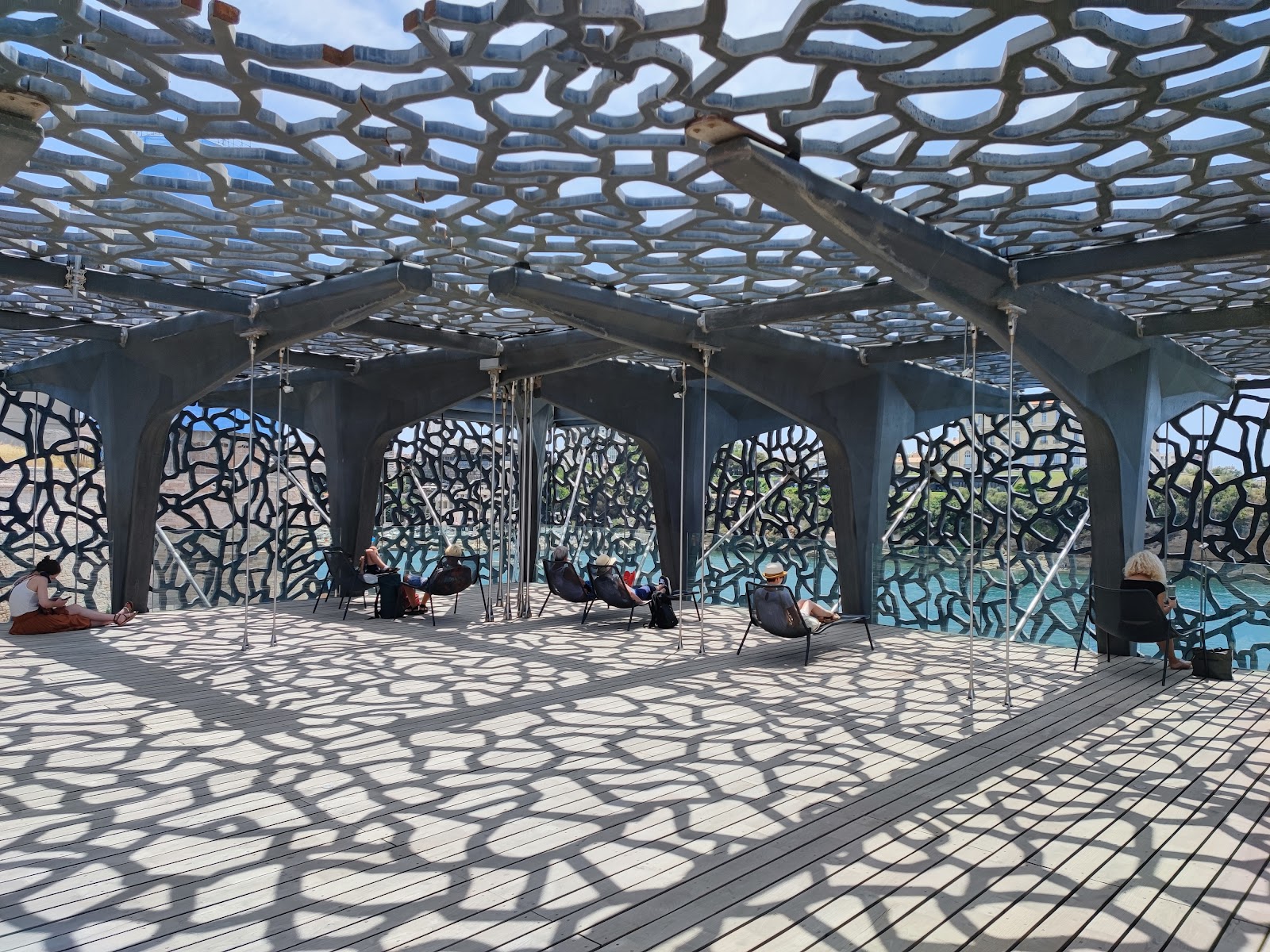
The fort has absorbed centuries of turbulence since: seized by a revolutionary mob in April 1790 (its commander killed), used as a prison for Louis Philippe II and his sons, occupied by German forces in November 1942. A munitions explosion in August 1944 destroyed much of the historic battlements. Classified as a historical monument in 1964, it was reconstructed between 1967 and 1971, and opened to the public in 2013 when two footbridges linked it to Rudy Ricciotti's MuCEM building next door.
Good to know
Entry is covered by a MuCEM ticket (€11 adults, €7.50 under-25s). Metro Line 1 to Vieux-Port, then ten minutes on foot. Closed Tuesdays and on 1 May and 25 December. Summer hours extend to 20:00 daily, 22:00 on Fridays — worth planning around.
Summer visits mean strong Mediterranean sun with little shade on the ramparts — a hat earns its place. Spring and autumn are gentler, with the gardens at their best in April and May. Winters are mild enough to walk the chemin de ronde comfortably, and the fort is rarely crowded.
Where is Fort Saint-Jean?
More tickets & tours for Fort Saint-Jean
Book directly at the provider
What travellers say about Fort Saint-Jean
Visited in late march 26. During my visit one of the rooms which has projections on the history of the fort was out of order. This was very dissapointing and it would be nice if a temporary QR code with a video link could have been put up or something of that nature. Otherwise the fort itself is kinda lacking in things to see and the videos about the fort can all be seen in less than 15 mins. Decent given its included in the mucem entrance but doesn't carry its own weight
To the person/people who designed this area, thank you very very much for the genius work and giving me such a memorable experience in Marseille 🫶🏼 Rich history is preserved here, yet there's thoughtful modernization with good facilities (toilets and drinkable water fountain!!!), well-chosen viewpoints and sitting areas, and those amazing bridges linking the museum, fort and church, absolutely impressed. And the area is public with no entry fee (you need to pay to visit museum exhibitions of course)!!! Wish there were more public spaces in the world like this, just to read a book, chat with friends, enjoy the sunset...unforgettable experience here, Marseille at its best ✨️💯😘
It’s free to go up, note that no glass bottles are allowed. Also they have a good cafe, good views so do not skip this one. Sadly, they do close at 6pm so no sunset watching from the top.
The views are stunning. At the very top, surprise! There is a fragrant garden of aromatic herbs. Entry is free! The fortress itself is exciting to walk around. Some exhibitions are chargeable.
From the fort saint jean you can see the city and the harbor. great view. From the museum next to it you can walk across a suspension bridge. It was a great experience!😊
More of Marseille
Discover where to stay, what to do and the best deals for your trip.
Explore Marseille →More attractions in Marseille
All of Marseille →
Background adapted from Wikipedia (CC BY-SA) · map data © OpenStreetMap contributors · ratings & place photos via Google · other photos with per-image credit. Ticket links may earn us a commission at no extra cost to you.