
Footscray
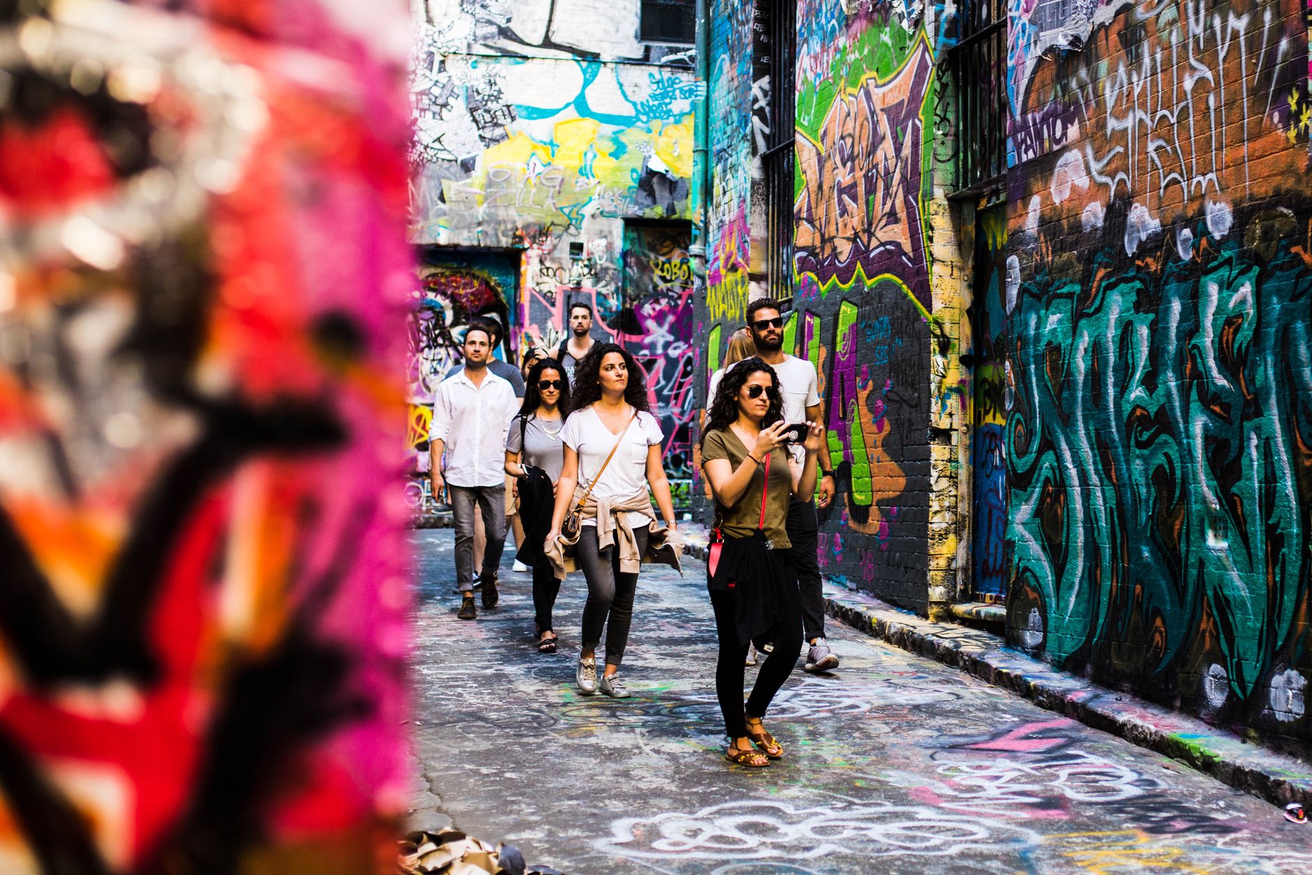
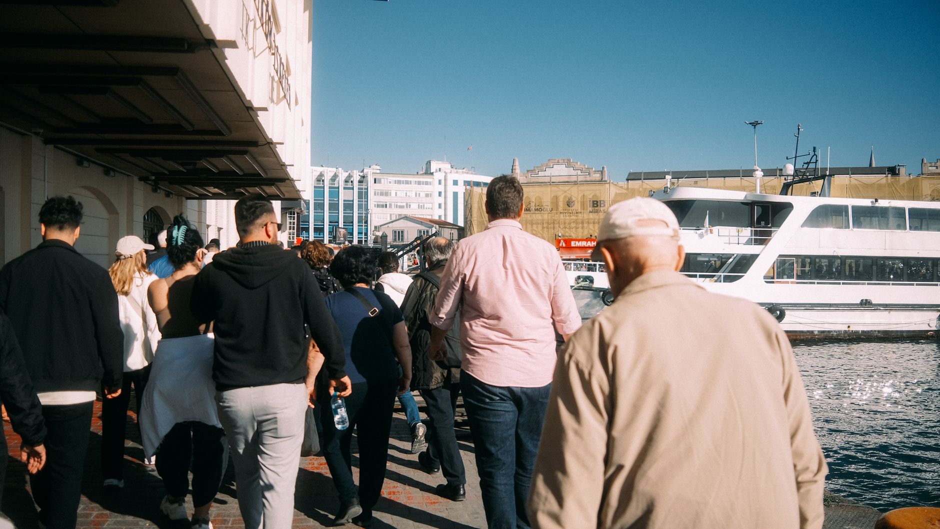
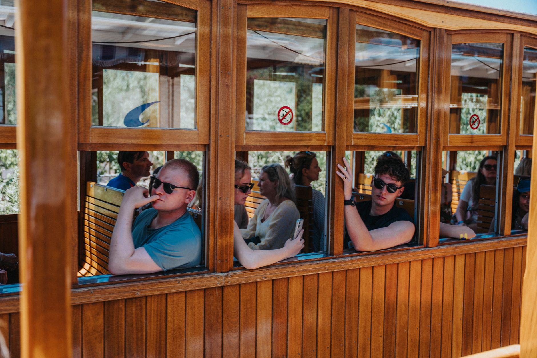
Stand on Barkly Street on a Saturday morning and count the languages you hear before you reach the end of the block. Footscray, about five kilometres west of the Melbourne CBD, has been a working suburb since the 1850s — first quarries and boiling-down works, then meatpacking, then decades of reinvention. What settled in their place is one of Melbourne's most genuinely plural food cultures: Vietnamese bánh mì bakeries, Nepali momo houses, Ethiopian injera spots, and the Cavallaro cannoli that locals treat as non-negotiable.
The Maribyrnong River forms the eastern edge, and Footscray Park — fifteen Edwardian hectares of ornamental ponds and palm groves — runs along its bank. The suburb's 1930s Art Deco bones are still there if you look above the shop signs.
💛 What travellers fall for
Regulars tend to anchor around two things: the market on Hopkins Street for fish and spices early in the week, and Nicholson Street Mall later for pho or a dosa. The Heavenly Queen Temple off Hopkins Street — largest Chinese temple in Australia — rewards a quiet mid-morning visit when the incense is fresh and the courtyard is nearly empty.
Deals in Footscray
Book directly at the provider


How Footscray came to be
The land at the junction of the Maribyrnong and Yarra rivers was surveyed as a village reserve in 1848, named after a Kentish village called Foots Cray. Its first economy was blunt — stone quarries and boiling-down works — and by 1885 the river smell from industrial waste was sharp enough to push the local rowing regatta to Albert Park Lake. The gold rush and the Williamstown railway line pushed population from around six thousand in 1881 to nineteen thousand by 1891, and Footscray became a city on 23 January 1891.
The meatworks and heavy industries that defined the twentieth century closed or relocated through the 1980s and 1990s, and in December 1994 the City of Footscray was absorbed into the newly created City of Maribyrnong. The waves of migration that followed — Vietnamese, East African, South Asian, Chinese — remade the streets more thoroughly than any council decision.
Who and what shaped it
People who shaped it
Landmark buildings
See Footscray in motion
Plan your visit
On the map
When to go
Summers run warm, with average highs around 25°C and occasional stretches of real heat; winters are cool and damp, with lows around 6°C and the wettest months falling between June and September. Melbourne's reputation for rapid weather shifts applies here: a clear morning can give way to a cold afternoon without much warning, so a layer in your bag earns its keep most of the year.
Right now
Background & history adapted from Wikipedia (CC BY-SA) · specs from Wikidata (CC0) · weather from Open-Meteo · map data © OpenStreetMap contributors · photos from Wikimedia Commons / Unsplash with per-image credit. No third-party reviews or social posts reproduced.