
Foggia
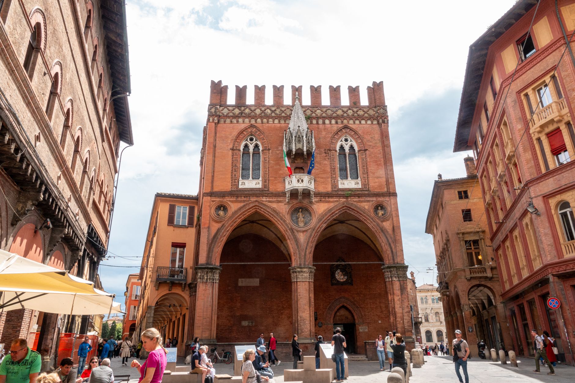
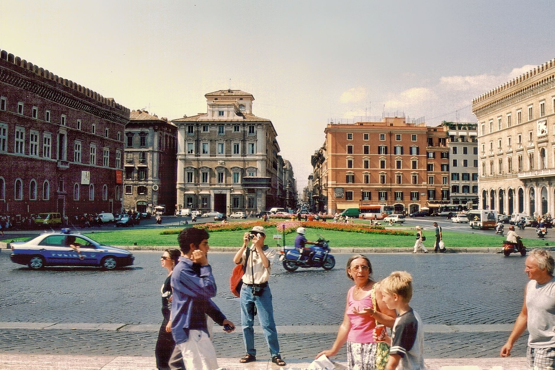
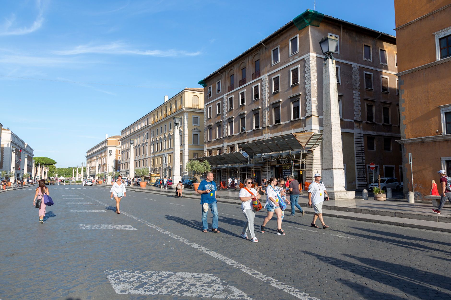
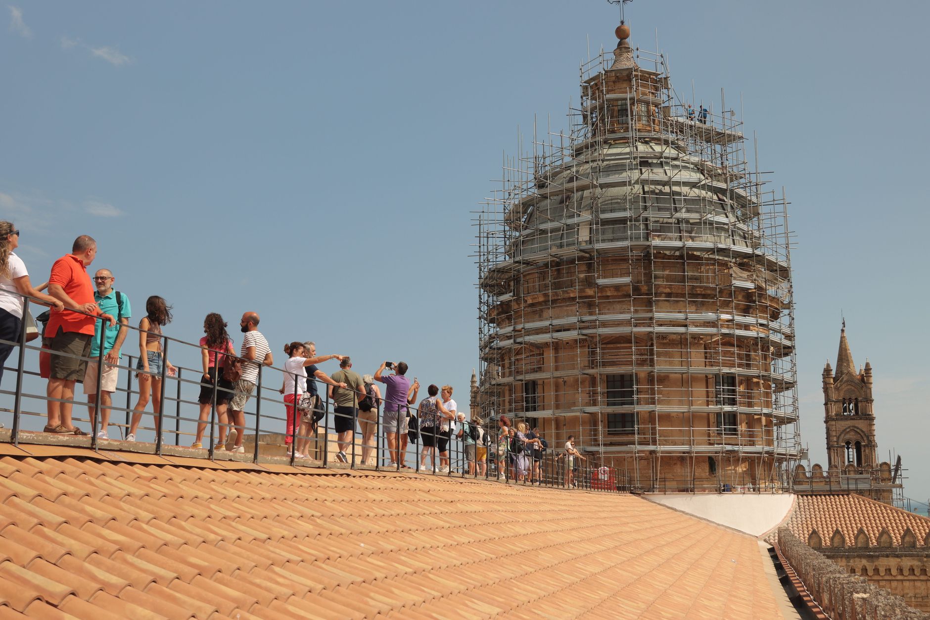
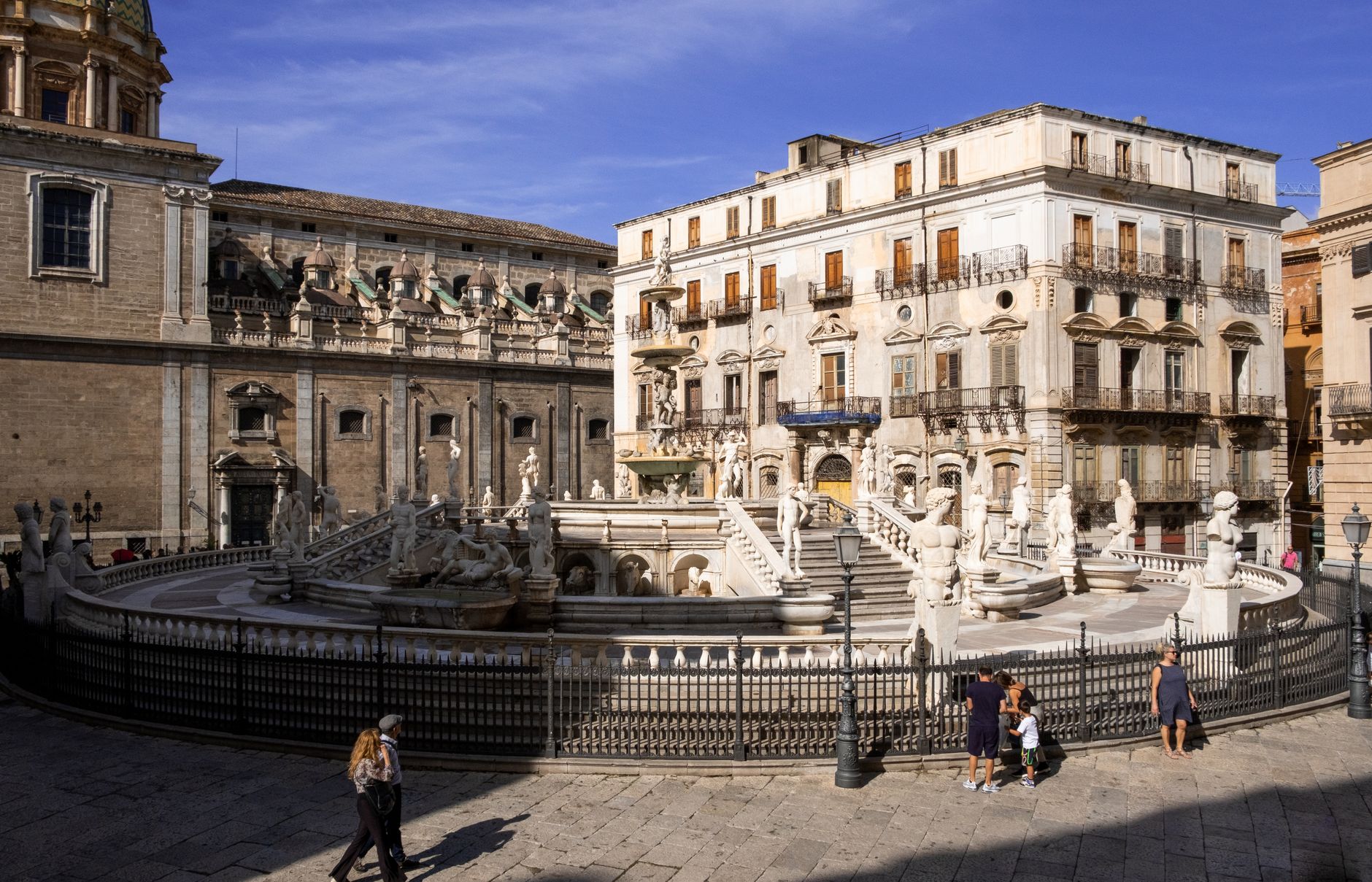
Foggia announces itself through heat and grain. The city sits on the Tavoliere delle Puglie, one of Italy's great wheat plains, and the flatness of the landscape is the first thing you notice — sky in every direction, the kind of light that makes shadows sharp. Its name almost certainly comes from the Latin foveae, the underground pits where grain was stored and sheep were watered during the long transhumance migrations that defined this region for centuries.
This is not a city that sells itself easily, and it doesn't try. The centro storico still carries the weight of two catastrophic Allied bombing raids in July and August 1943 that killed over seventeen thousand people in weeks. What rebuilt itself afterward is honest and unadorned, which gives the city a particular gravity.
💛 What travellers fall for
People who come back tend to linger at Piazza Umberto Giordano longer than planned — espresso, a newspaper, the opera-character statues catching the afternoon light. They also make time for Passo di Corvo, the Neolithic site outside town that most visitors skip entirely, and they arrive by train, which drops you almost directly into the city center.
Experiences you don't want to miss





Deals in Foggia
Book directly at the provider


How Foggia came to be
Foggia's recorded life begins in 1069, though it grew from the ruins of Arpi, an older Greek and Roman settlement. Frederick II made it a favored seat in the medieval period, and its strategic importance on the sheep-migration routes between highland and lowland Puglia shaped it for centuries — from 1447 to 1806 it was the administrative center for the sheep tax on those transhumant flocks. The 1731 earthquake leveled much of what had stood, including parts of the Duomo first erected around 1179.
The deepest wound, though, came in the summer of 1943, when Allied bombing campaigns targeting the city's rail yards killed more than seventeen thousand civilians across two raids. The Apulian aqueduct, completed in 1924, had finally solved the city's ancient water problem; two decades later, the city itself had to be rebuilt almost from scratch.
Who and what shaped it
People who shaped it
Landmark buildings
See Foggia in motion
Plan your visit
On the map
When to go
Spring (April–May) and autumn (October–November) are the practical windows — mild days, manageable crowds, and November being the wettest month if you want to time around it. Summer is genuinely extreme: July and August regularly reach 35–38°C, and Foggia holds Italy's all-time temperature record of 47°C, set in June 2007.
Right now
Background & history adapted from Wikipedia (CC BY-SA) · specs from Wikidata (CC0) · weather from Open-Meteo · map data © OpenStreetMap contributors · photos from Wikimedia Commons / Unsplash with per-image credit. No third-party reviews or social posts reproduced.