
Fira
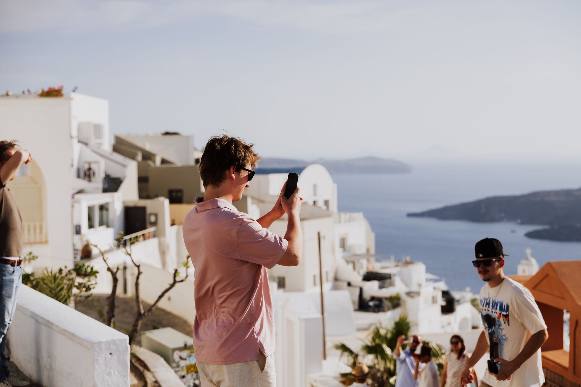
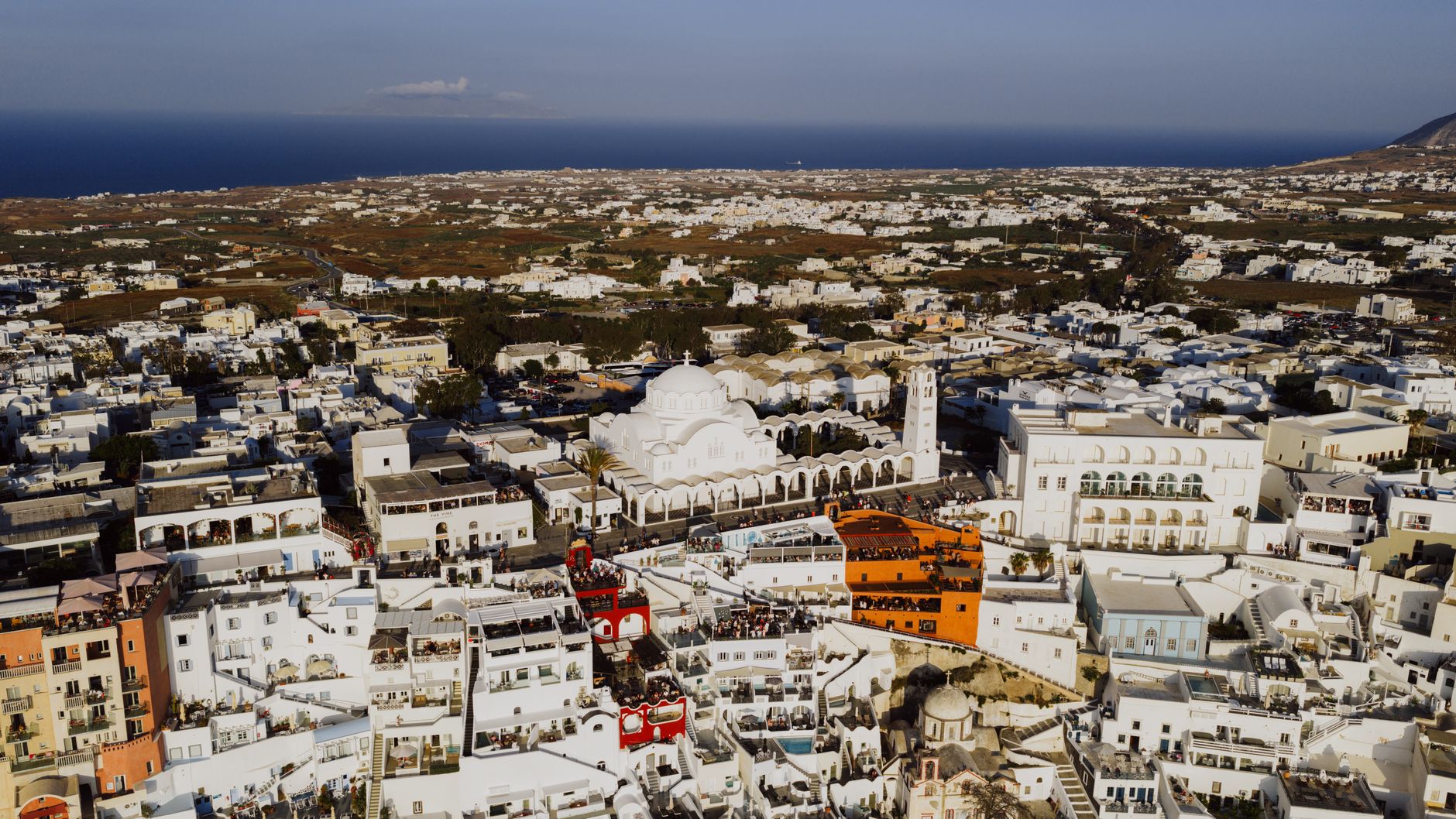
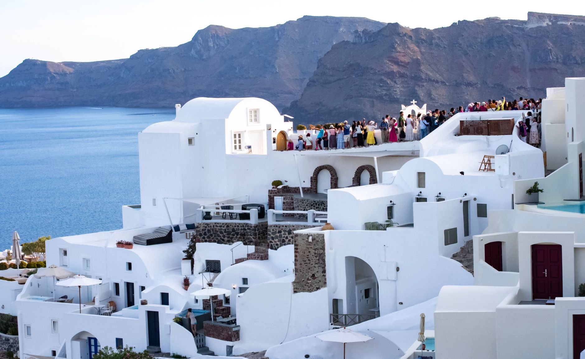
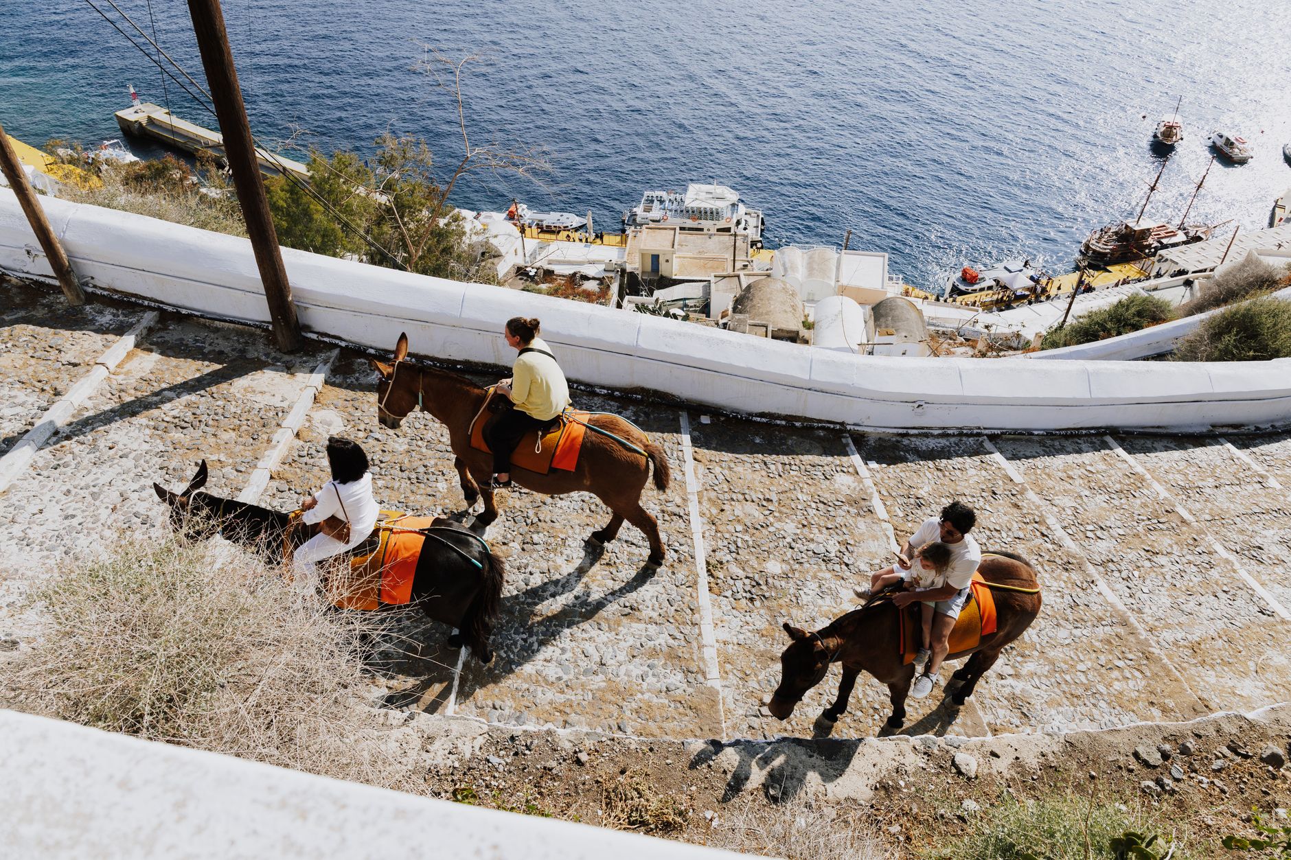
The cable car from the port deposits you at the caldera's lip in three minutes flat, and suddenly you're standing on the edge of a collapsed volcano with the whole Aegean laid out below. Fira is Santorini's capital and its commercial spine — the island's buses all start and end here, the banks and pharmacies line Plateia Theotokopoulou, and the narrow cliff-path is lined with jewellers and restaurants in roughly equal measure.
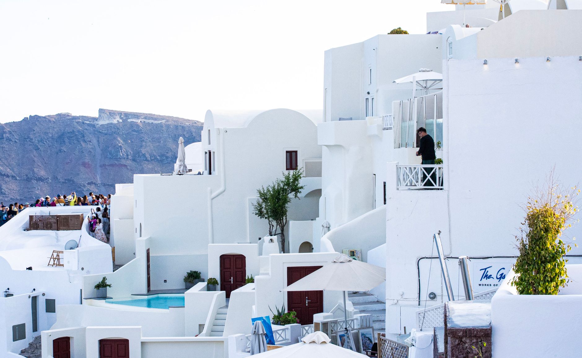
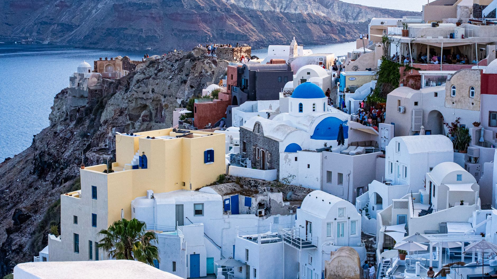
What holds it together is the geology. The town clings to a rim of black volcanic rock, and the architecture — whitewashed cubes stacked against the drop — is less a style choice than a response to extreme terrain. Underneath the tourist trade, the bones of a real town are still visible.
💛 What travellers fall for
People who keep coming back tend to arrive early at the Archaeological Museum of Thera, just thirty metres from the cable car, before the cruise-ship crowds reach the top. They also learn to use Fira as a base rather than a destination — every bus on the island leaves from here, so the logistics of getting to Perissa or Akrotiri are simpler than they first appear.
Deals in Fira
Book directly at the provider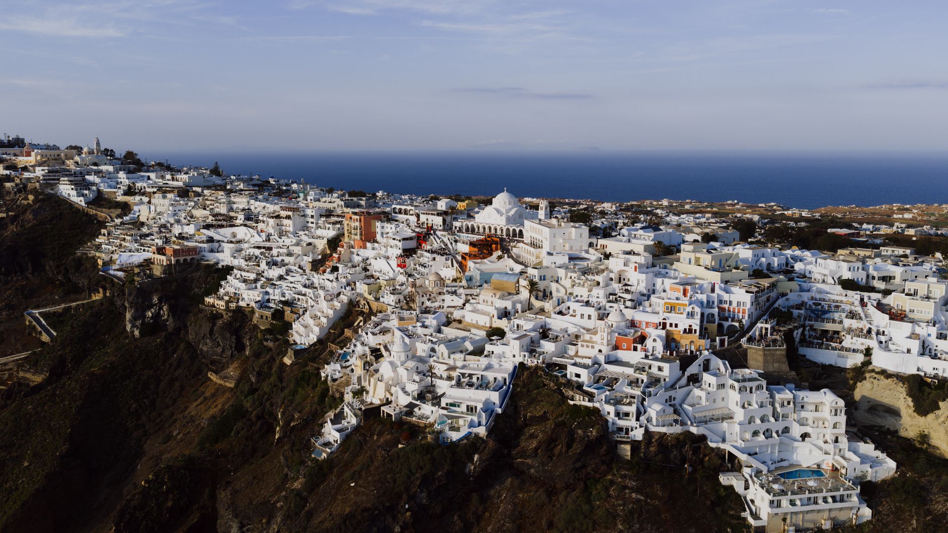


How Fira came to be
Fira's origins are bound up in catastrophe and relocation. The island's earlier capital sat at Skaros, the castle rock above present-day Imerovigli, but earthquake damage drove residents away and authority eventually shifted to Fira — probably in the 18th century during the Ottoman period, though accounts of the exact founding vary. The Three Bells of Fira, the Catholic Church of the Dormition, went up in 1757; the Orthodox Metropolitan Cathedral followed in 1827, suggesting a town already substantial enough to need both.
In 1956 a major earthquake levelled much of what had been built. The Metropolitan Cathedral was among the casualties. Fira was rebuilt almost from zero, but the urban logic — the compact cliff-edge layout, the concentration of services at the centre — was preserved in the reconstruction. The Atlantis Hotel, completed in 1955, is one of the rare buildings that survived.
Who and what shaped it
People who shaped it
Landmark buildings
See Fira in motion
Plan your visit
On the map
When to go
July and August are reliably hot, reaching around 29°C, with the meltemi — a dry northerly wind — keeping the heat from becoming oppressive on the cliff. May and September are the shoulder-season sweet spots: warm enough for the caldera views to shimmer, cool enough to walk the town comfortably. Winter brings genuine rain, particularly in December and January, and a quietness that strips the place back to its volcanic essentials.
Right now
Background & history adapted from Wikipedia (CC BY-SA) · specs from Wikidata (CC0) · weather from Open-Meteo · map data © OpenStreetMap contributors · photos from Wikimedia Commons / Unsplash with per-image credit. No third-party reviews or social posts reproduced.