
Erfoud
Erfoud sits at the edge of things — the last proper town before the Saharan dunes take over, built in red sand-coloured blocks beside the Ziz River, which keeps a thin ribbon of green alive through the palm groves of Tizimi. The street cafes along Avenue Mohamed V fill with men nursing glasses of tea at no particular hour, and on Saturdays the souk draws in the surrounding desert communities. Underneath the town, quite literally, is another world: the black marble quarried 15 km southeast contains marine fossils hundreds of millions of years old, from a time when this desert floor was an ocean.
What Erfoud offers isn't the elaborate medieval architecture of northern Morocco — there's no medina here. Instead there's a Royal Palace whose illuminated gate glows against the night sky, a kasbah museum full of ammonites and trilobites, and the Ksar Maadid, the largest ksar in the south, sitting in the surrounding oasis landscape.
💛 What travellers fall for
People who come back tend to time it around the October date harvest — the town's three-day festival draws the whole Tafilalet region. They also mention climbing Borj-Est, the old French Foreign Legion fort on the boulder above town, for the view over the oases at dusk, when the first dunes in the distance go pink.
Deals in Erfoud
Book directly at the provider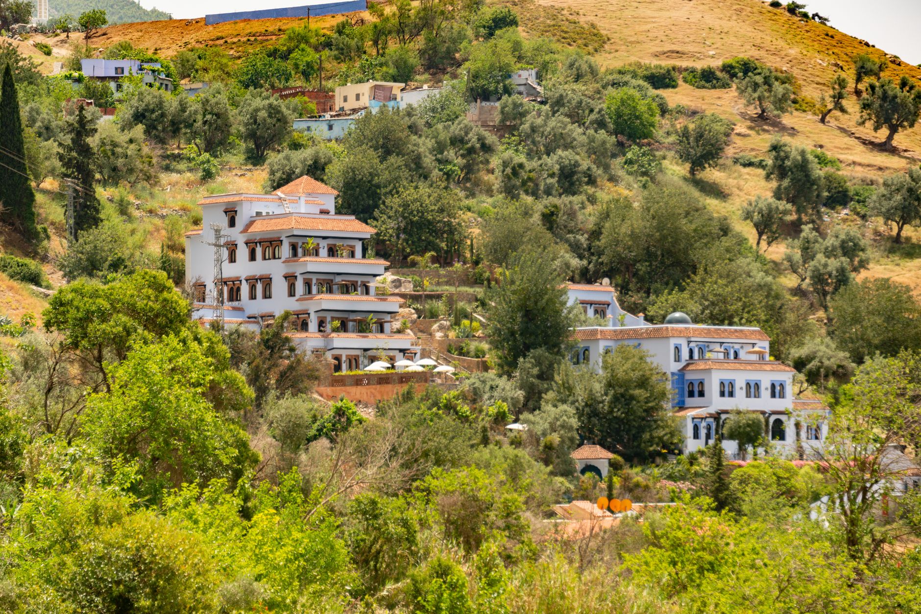


How Erfoud came to be
The Tafilalet oasis has drawn settlement for centuries — the earliest references to this corner of southeastern Morocco trace back to the 8th century, when trans-Saharan trade in gold and salt moved through here. The modern town of Erfoud, though, is a French creation: the protectorate administration laid it out in the 1920s as a garrison and administrative post, using it to extend control over the oasis region. The Borj-Est fort was manned by the Foreign Legion.
After Moroccan independence in 1956, Erfoud found a new role as a regional centre. The Abuhatzeira family, a dynasty of prominent rabbis including the revered Baba Sali, rooted the town's Jewish community during the protectorate era; a cemetery and mausoleum on the road to Rissani mark that presence today. From the 1990s, as desert tourism grew, Berber communities from the surrounding region moved into town.
Who and what shaped it
People who shaped it
Landmark buildings
See Erfoud in motion
Plan your visit
On the map
When to go
Spring (March to May) and autumn (September to November) are the workable seasons — warm days, cool nights, and in spring the palm groves along the Ziz are at their greenest. Summer is genuinely extreme: July averages above 40°C in the day and barely cools after dark.
Right now
Background & history adapted from Wikipedia (CC BY-SA) · specs from Wikidata (CC0) · weather from Open-Meteo · map data © OpenStreetMap contributors · photos from Wikimedia Commons / Unsplash with per-image credit. No third-party reviews or social posts reproduced.