
Elbingerode
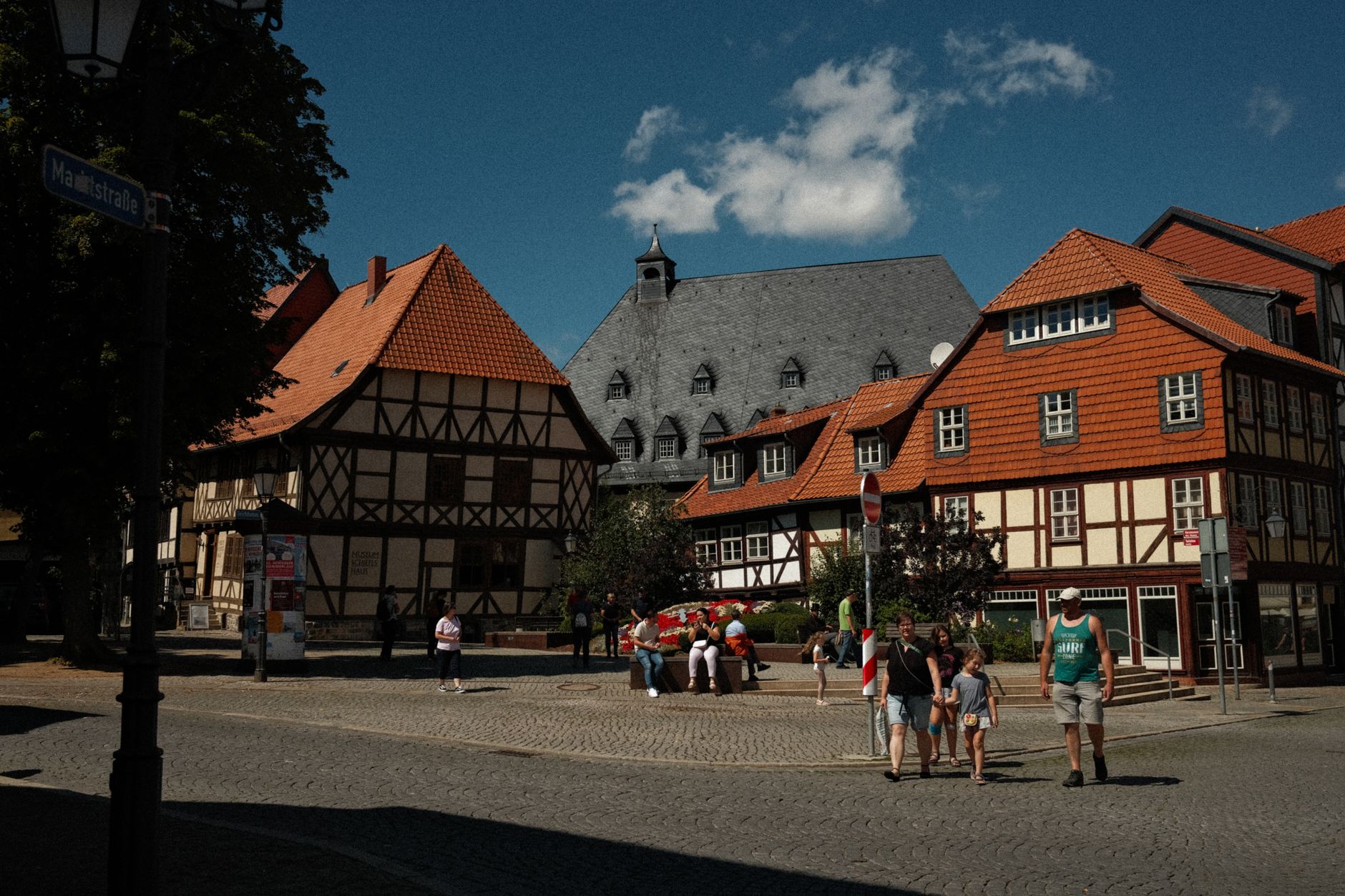

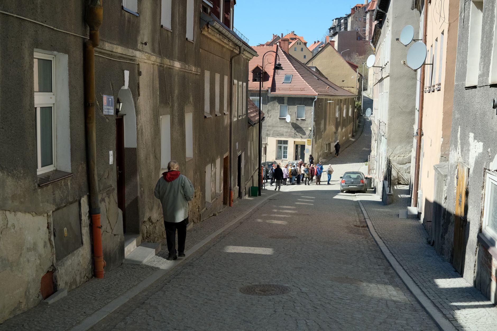
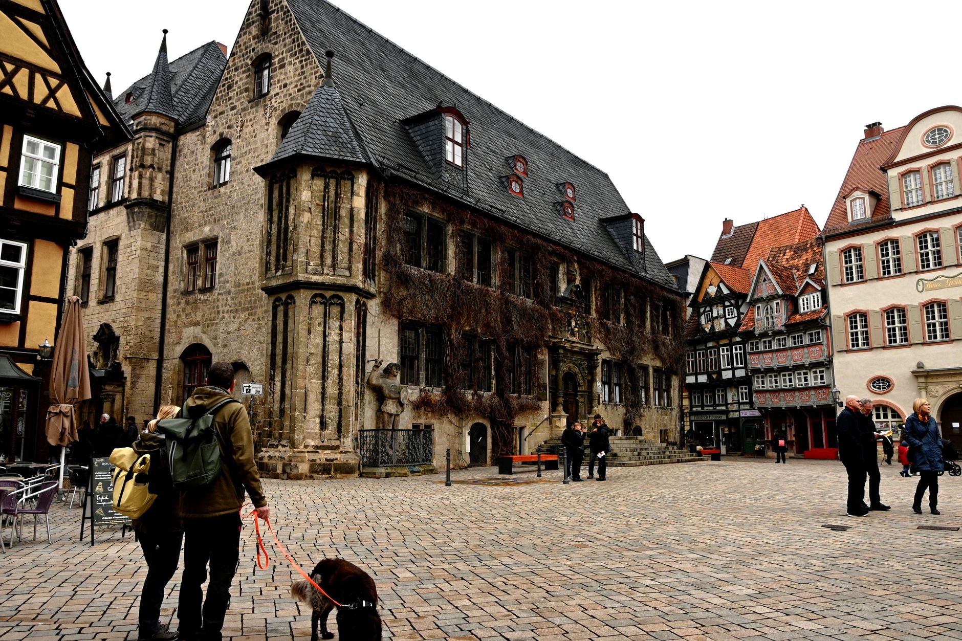
Elbingerode sits about 8 kilometres south of Wernigerode in the eastern Harz, at an elevation where the air carries a particular cool edge even in July. What catches you first isn't a single landmark but an unexpected pairing: a neo-Gothic church rising sharply above the roofline, and — a short walk away — a quietly serious Bauhaus complex where 150 Protestant nuns still live today.
The town has been mining limestone and pyrite since the Middle Ages, and two of its old mines are now open for underground tours. The Büchenberg mine once ran the longest cable car in Europe; the Drei Kronen & Ehrt visitor mine still operates its original train.
💛 What travellers fall for
People who come back tend to time a visit to the Diakonissen Mutterhaus for one of its regular services or exhibitions — the Schwethelm building reads differently once you're inside it. The Kahlenberg pavilion is a short walk for a clear line of sight to the Brocken on a good day. Pack layers regardless of season.
Deals in Elbingerode
Book directly at the provider


How Elbingerode came to be
A papal deed of 1206 records the place as Alveringeroth, when Pope Innocent III granted its estates to the canonesses of Gandersheim Abbey — but the land had been royal hunting territory long before that. King Henry the Fowler stayed at the nearby lodge of Bodfeld as early as 935, and Emperor Henry III died here on 5 October 1056 while on a hunting excursion with Pope Victor II.
In 1422 Abbess Agnes of Brunswick ceded the town to her father, the Welf duke Eric I of Brunswick-Grubenhagen, who five years later vested Count Bodo VII of Stolberg with its mines and hunting grounds. City rights followed in 1564. The arrival of the Rübeland Railway in 1886 accelerated limestone extraction considerably, and the town's industrial and ecclesiastical lives ran in parallel through the twentieth century — the Bauhaus-style Deaconess Motherhouse was completed in 1934, the Büchenberg mine closed in 1970. Since 2010 Elbingerode has formed part of the larger municipality of Oberharz am Brocken.
Who and what shaped it
People who shaped it
Landmark buildings
See Elbingerode in motion
Plan your visit
On the map
When to go
At 450–480 metres above sea level, Elbingerode has a genuine low-mountain climate: summers are comfortable but partly cloudy, with rain possible any month of the year. Winters run long and cold, with snow and wind — bring warm layers from October through April.
Right now
Background & history adapted from Wikipedia (CC BY-SA) · specs from Wikidata (CC0) · weather from Open-Meteo · map data © OpenStreetMap contributors · photos from Wikimedia Commons / Unsplash with per-image credit. No third-party reviews or social posts reproduced.