
Ejea de los Caballeros
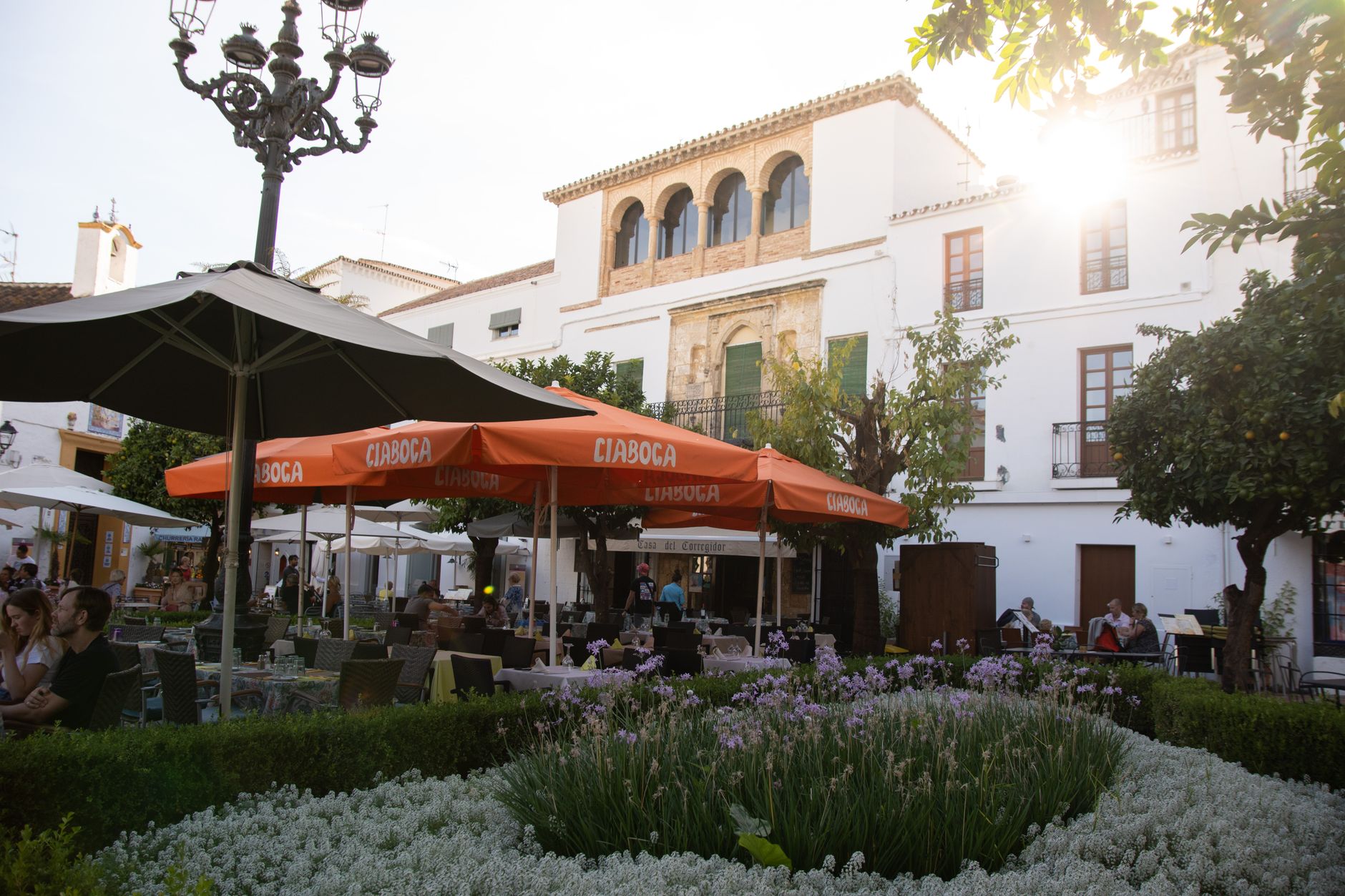
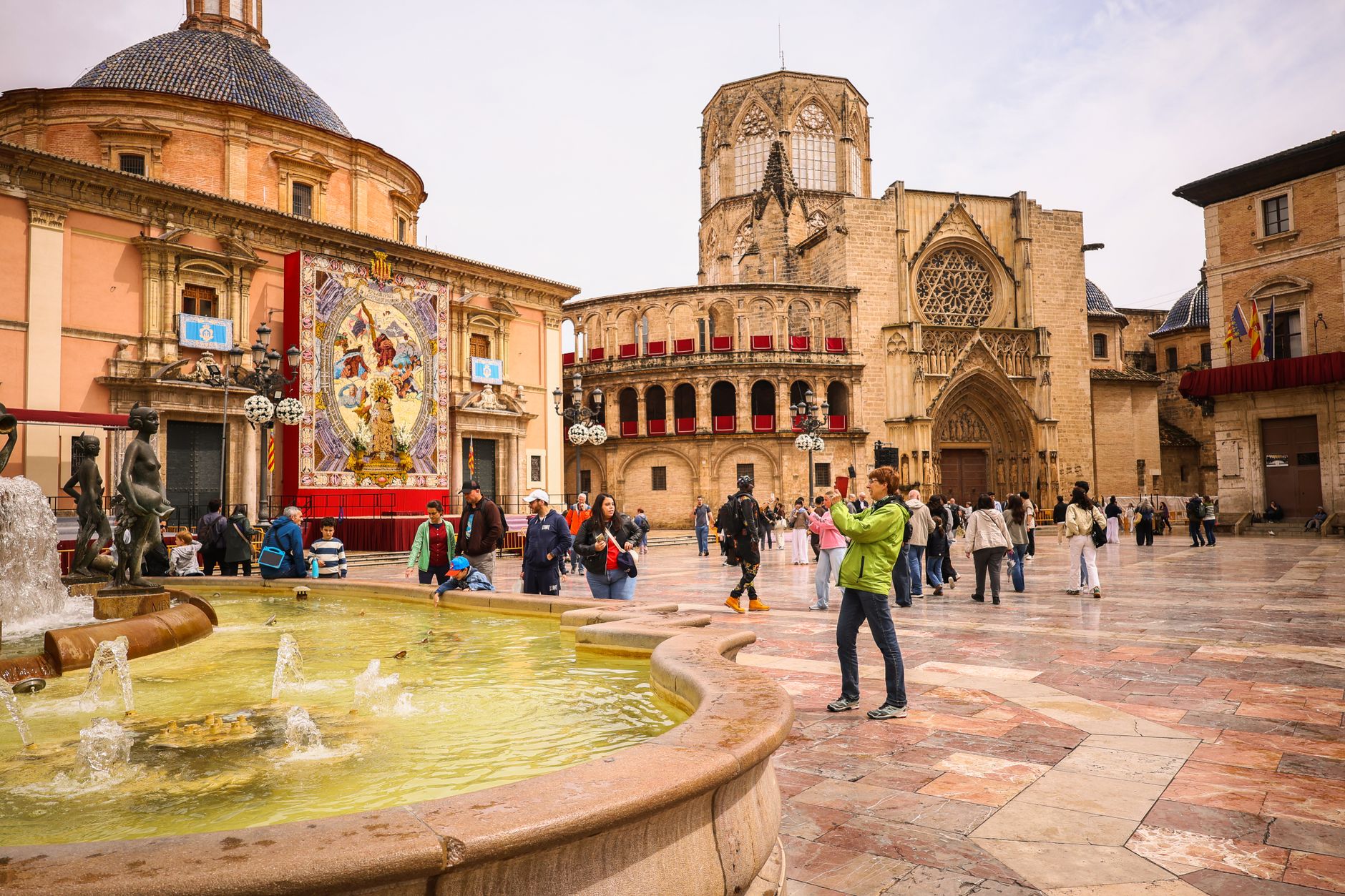
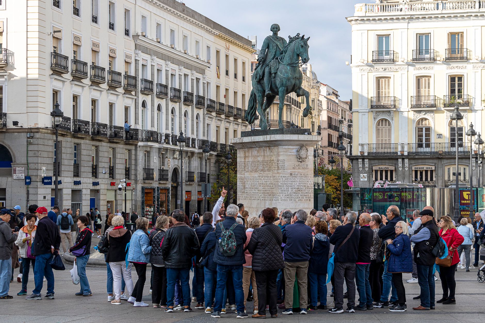
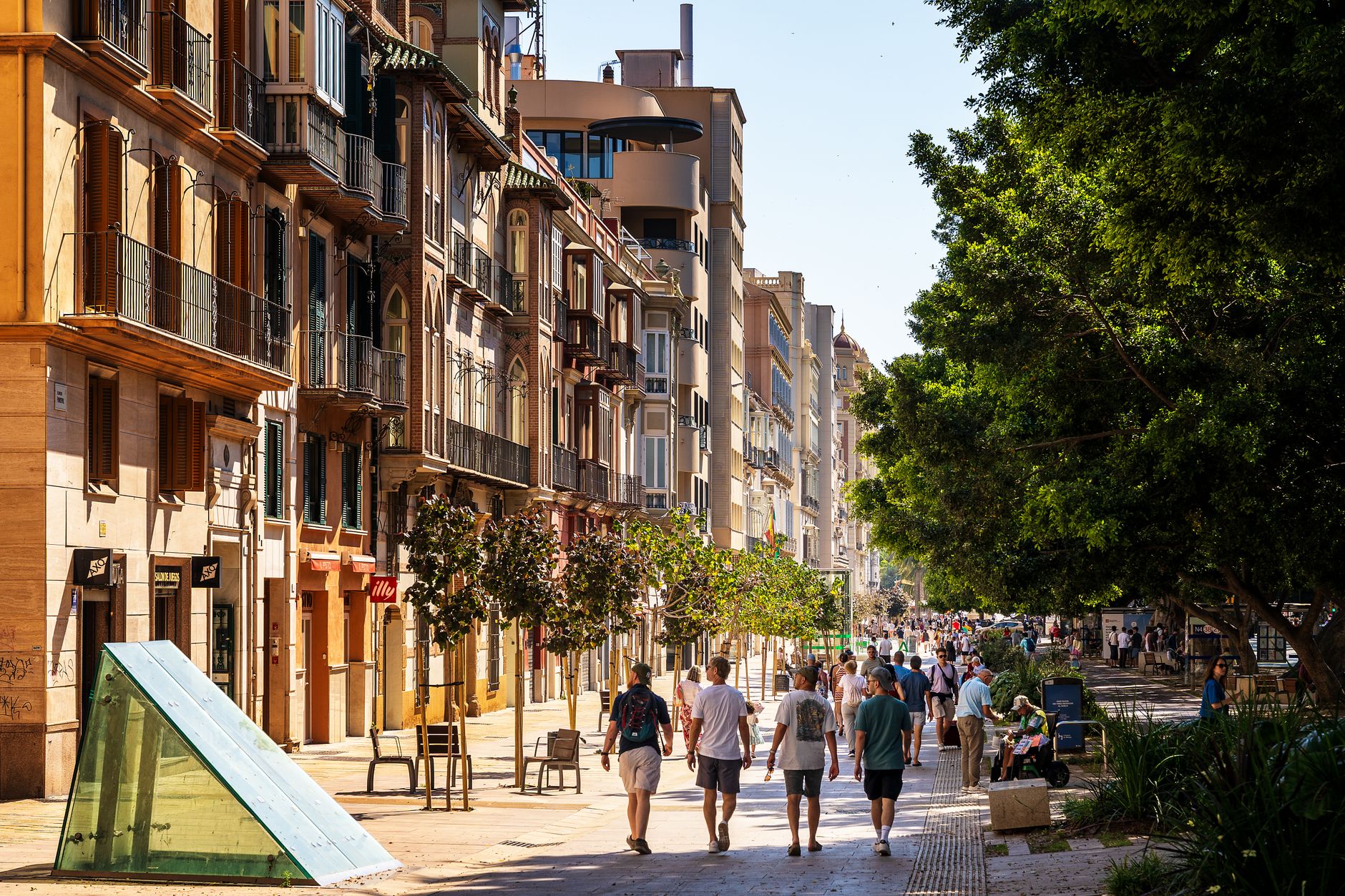
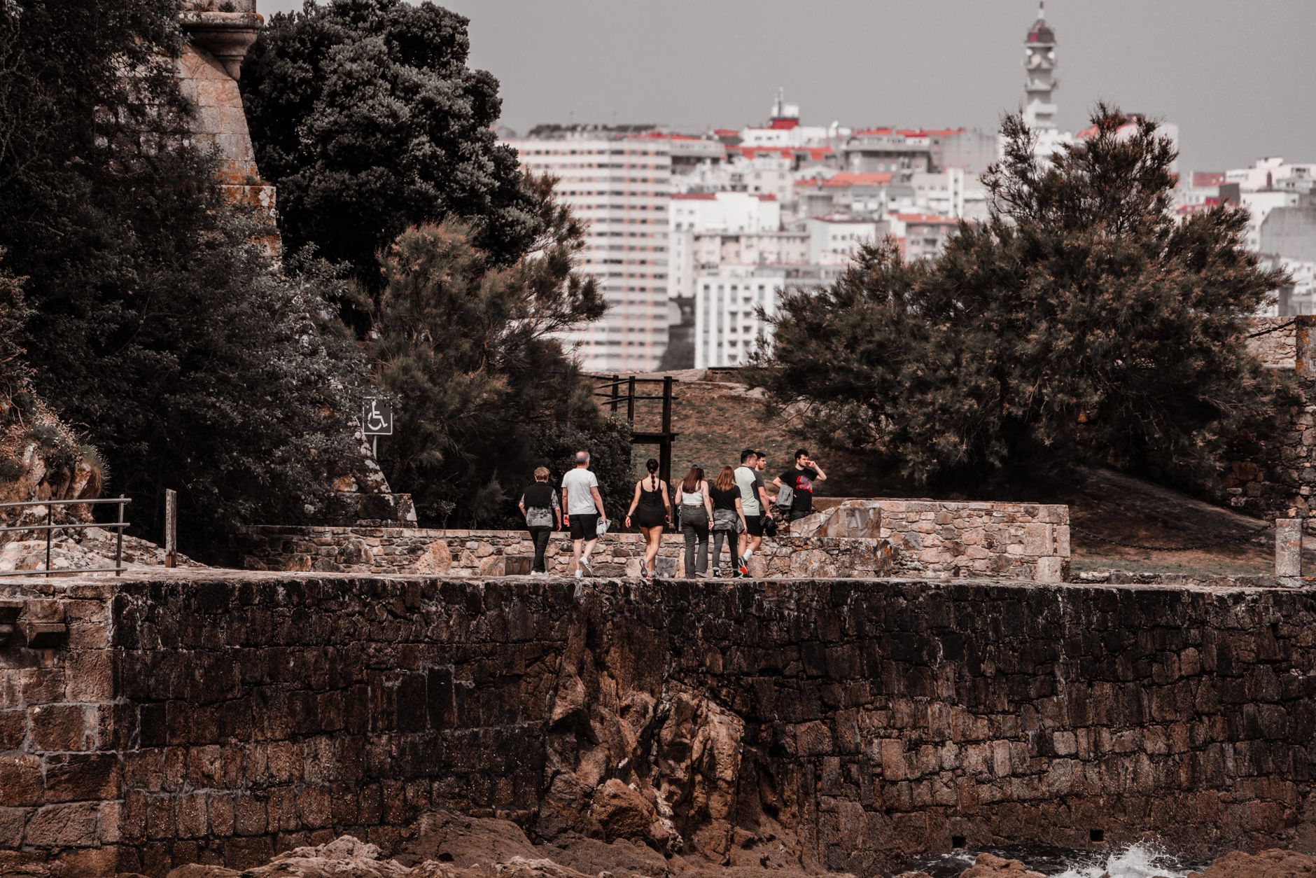
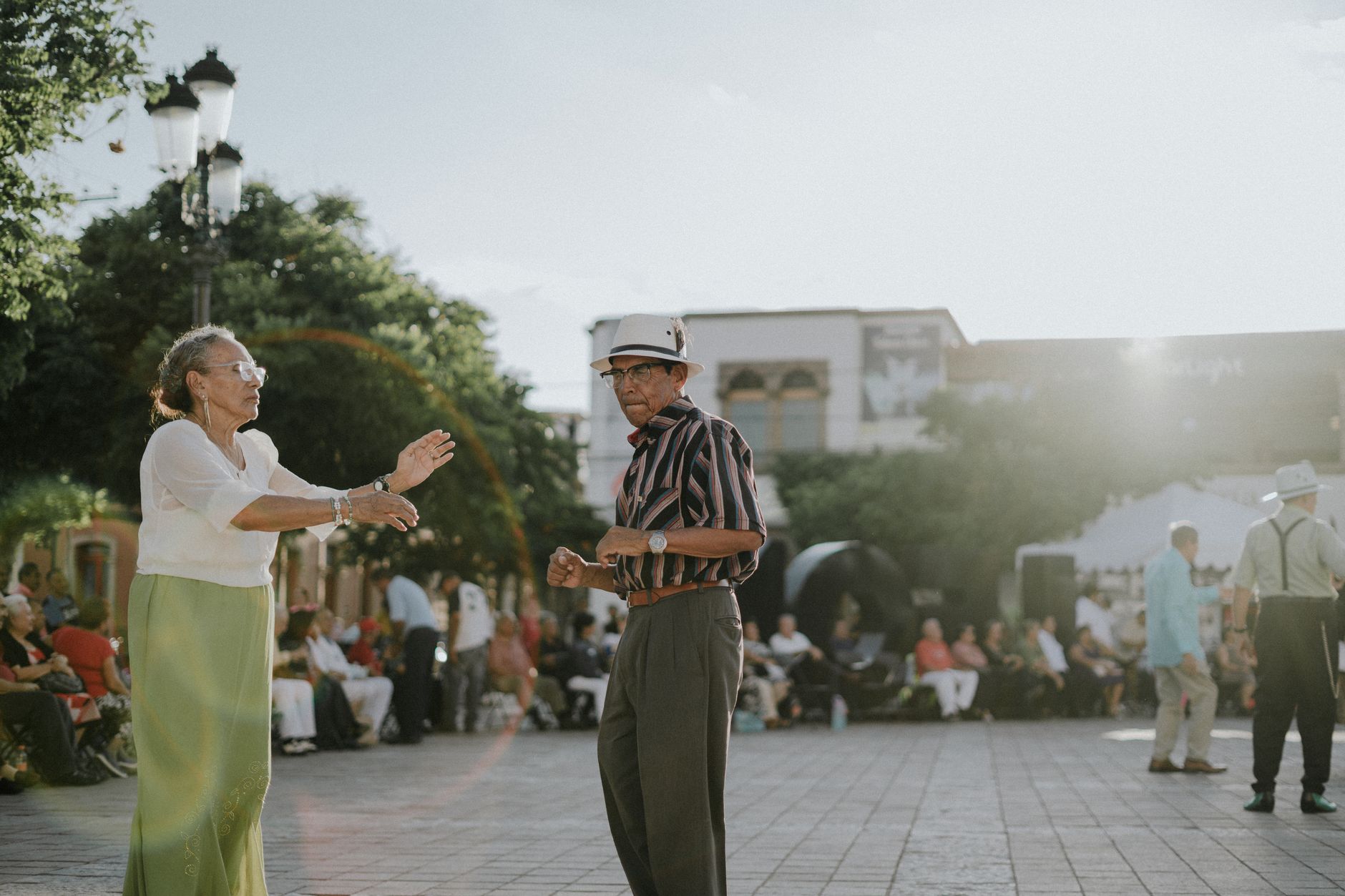
Ejea de los Caballeros sits on the flat, sun-baked plains of the Cinco Villas comarca, a working agricultural city where Aragonese brick manor houses line streets that have been rebuilt and renamed across two millennia. The name itself traces back to an Indo-European root meaning 'stream of water' — a reminder that this dry landscape was always organised around water, from Roman roads to the 1950s irrigation channels that reshaped the whole surrounding territory.
The old town rewards slow walking. Calle Mediavilla runs from the main plaza up to the Iglesia del Salvador, a 12th-century Romanesque church whose carved portal survived later Gothic reforms intact enough to read. The Aquagraria Museum, with its 60-plus pieces of agricultural machinery spanning Roman ploughs to 20th-century combines, is one of those collections that turns out to be genuinely absorbing.
💛 What travellers fall for
People who come back tend to time it around the Bardenas Reales — the semi-desert biosphere reserve just south — using Ejea as a quiet base rather than a day-trip footnote. The Parque Lineal del Gancho makes for an easy morning walk before the heat builds, and the casonas on Herrería street are worth a second look once you've got the Aragonese civil-architecture logic in your eye.
Experiences you don't want to miss




Deals in Ejea de los Caballeros
Book directly at the provider

How Ejea de los Caballeros came to be
The site has been continuously occupied since at least 184 BC, when Roman forces established a presence here on the road linking Caesaraugusta to Pompaelo. By 88 BC, nine Suesetani warriors from the settlement — their names recorded in Latin: Sosinadem, Sosimilus, Urgidar and six others — fought in the Allied War and were granted Roman citizenship, making them the first named inhabitants of what would become Ejea. Muslim forces arrived in 714 AD, holding it as their northernmost settlement until Alfonso I el Batallador retook it in 1105 and began granting privileges to attract Christian settlers.
The city's layers accumulated unevenly. Jaime I gave it villa status in the 13th century. Felipe V's troops besieged and destroyed much of it in 1706 during the War of Succession. The railway arrived in 1912, and then the Yesa Reservoir and Bardenas irrigation channels in the 1950s and 1960s effectively created six new population centres around the city — a modern reshaping as significant as any medieval charter. The historic ensemble was formally recognised in 1981.
Who and what shaped it
People who shaped it
Landmark buildings
See Ejea de los Caballeros in motion
Plan your visit
On the map
When to go
Summers run hot — July and August regularly push past 35°C, with recorded extremes near 41°C — so mornings are when the old town is bearable. May and October sit in a comfortable 20–26°C range with lower crowds; winters are cold and grey, with short days and occasional frost.
Right now
Background & history adapted from Wikipedia (CC BY-SA) · specs from Wikidata (CC0) · weather from Open-Meteo · map data © OpenStreetMap contributors · photos from Wikimedia Commons / Unsplash with per-image credit. No third-party reviews or social posts reproduced.