
Durango
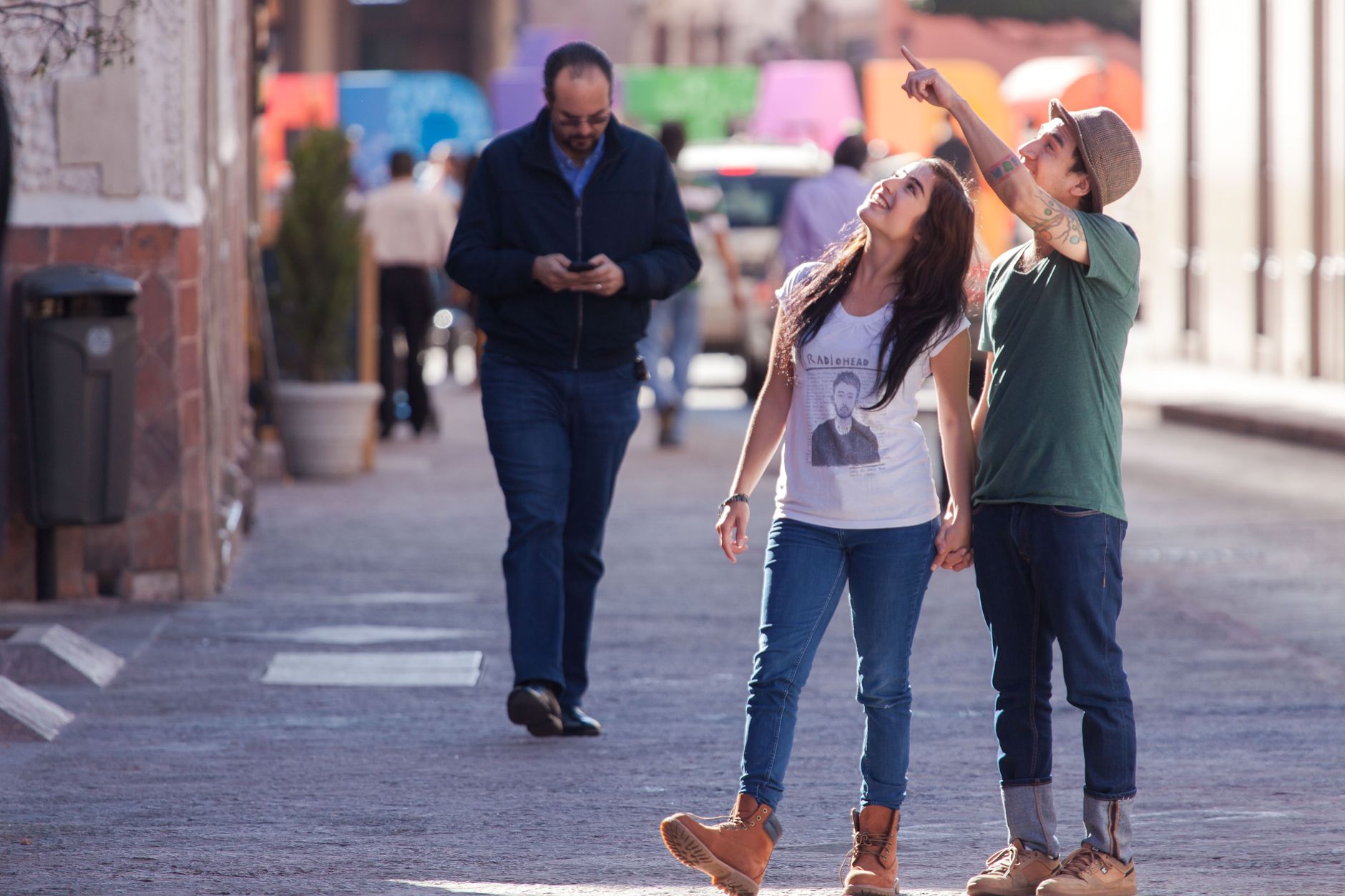

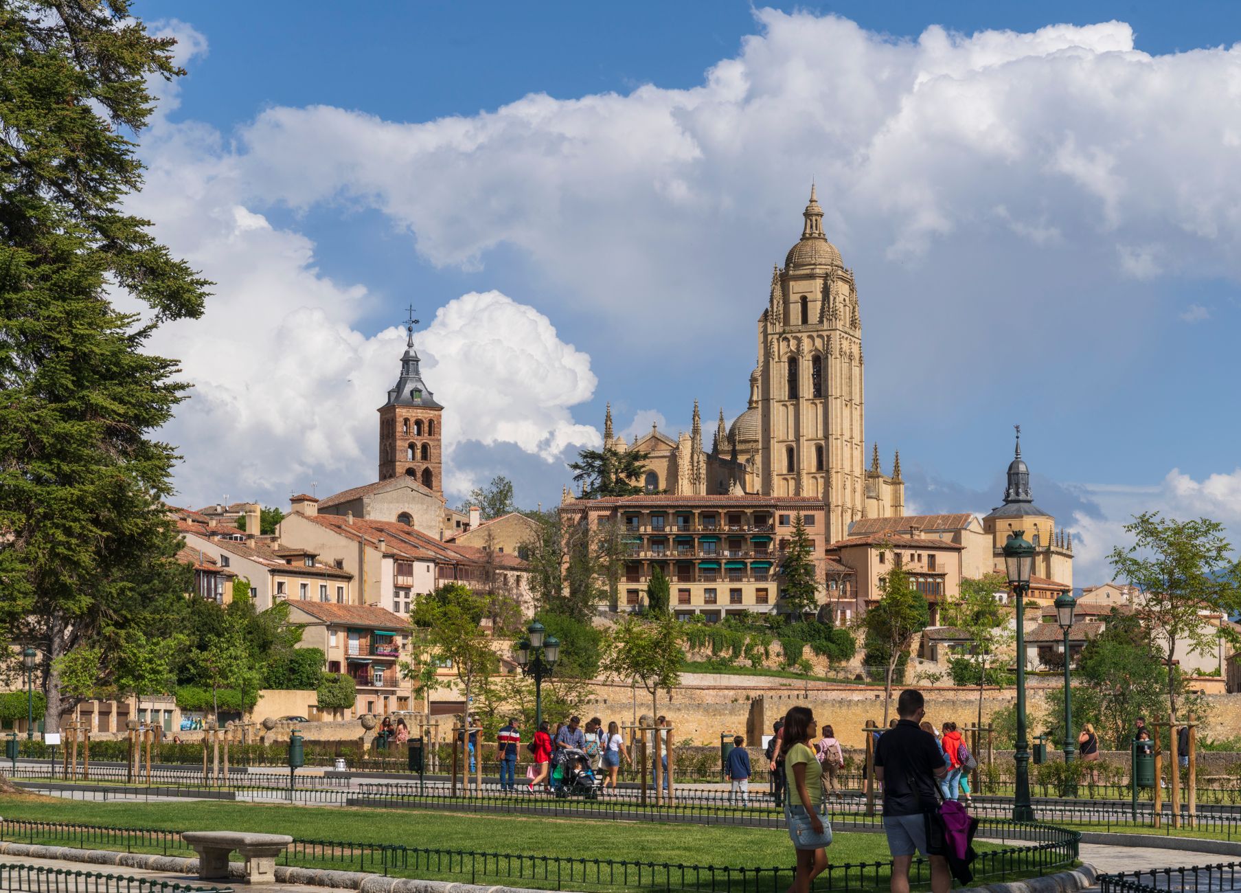
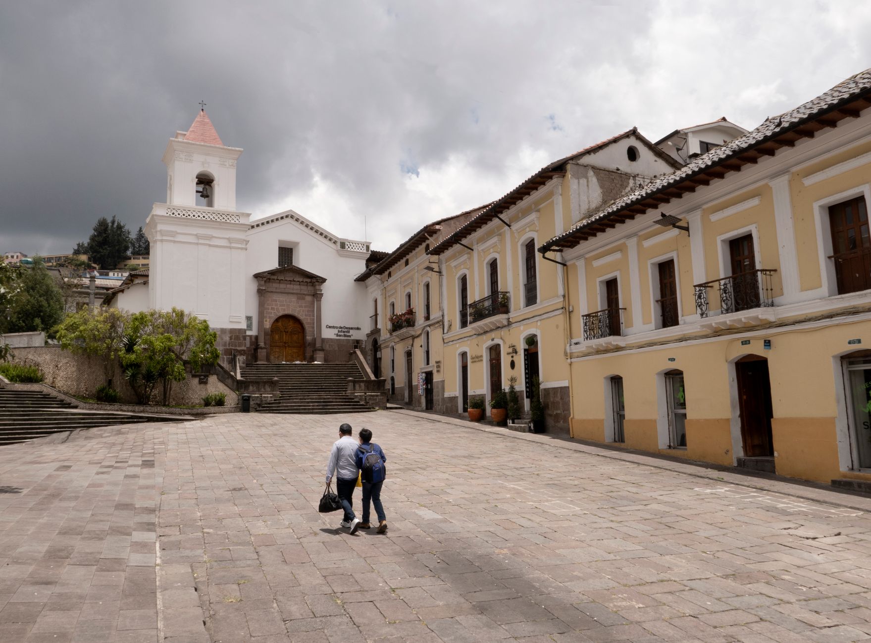


The arch you walk through to enter Durango's old quarter is the last of six medieval gates that once ringed the town — the other five are gone, and that fact sets the tone. This is a place that has absorbed a great deal: 15th-century clan wars, a cholera epidemic that nearly emptied it, and on 31 March 1937, a bombing by the Aviazione Legionaria and Condor Legion that preceded Guernica by weeks and is far less remembered.
What remains is a compact historic centre — declared a Monumental Site in 1997 — where a Gothic expiatory cross, a porticoed basilica, and one of Bizkaia's oldest town halls stand within easy walking distance of each other. At 29,000 people, Durango is small enough to read in an afternoon, particular enough to stay in the mind.
💛 What travellers fall for
People who come back tend to time it for early December, when the Durangoko Azoka — the Basque book and record fair — takes over Landako Gunea. It draws serious readers and music collectors from across the region, and the town feels unusually alive with that specific, quiet intensity of people handling objects they care about.
Experiences you don't want to miss




Deals in Durango
Book directly at the provider

How Durango came to be
Durango appears in the record as early as 1179, when it featured in a territorial dispute between Alfonso VIII of Castile and Sancho VI of Navarre. It was then called Tavira de Durango, later Uribarri — Basque for 'new town' — and by 1199 Alfonso VIII had annexed it into Castile, though its local laws, the fueros, were preserved. Queen Isabel of Castile came in person in 1483 to swear those fueros, and is said to have slept at Torre Lariz.
The 15th century brought the War of the Bands, when rival families built the tower houses that still punctuate the streetscape. The 17th century brought cholera and the exhaustion of Castile's wars with France. Then came 1937: the bombing left the Basilica of Santa María de Uribarri damaged and the town traumatised. Francisco de Ibarra, born here, had centuries earlier carried the name Durango to Mexico — both a city and a state bear it now.
Who and what shaped it
People who shaped it
Landmark buildings
See Durango in motion
Plan your visit
On the map
When to go
Durango is genuinely wet — over 1,200 mm of rain a year, with November the worst of it and winters that run long, cold, and grey. July and August are the clear months, warm rather than hot, with summer highs around 25°C; that window, and the shoulder months on either side, is when the town is easiest to walk.
Right now
Background & history adapted from Wikipedia (CC BY-SA) · specs from Wikidata (CC0) · weather from Open-Meteo · map data © OpenStreetMap contributors · photos from Wikimedia Commons / Unsplash with per-image credit. No third-party reviews or social posts reproduced.