
Domme
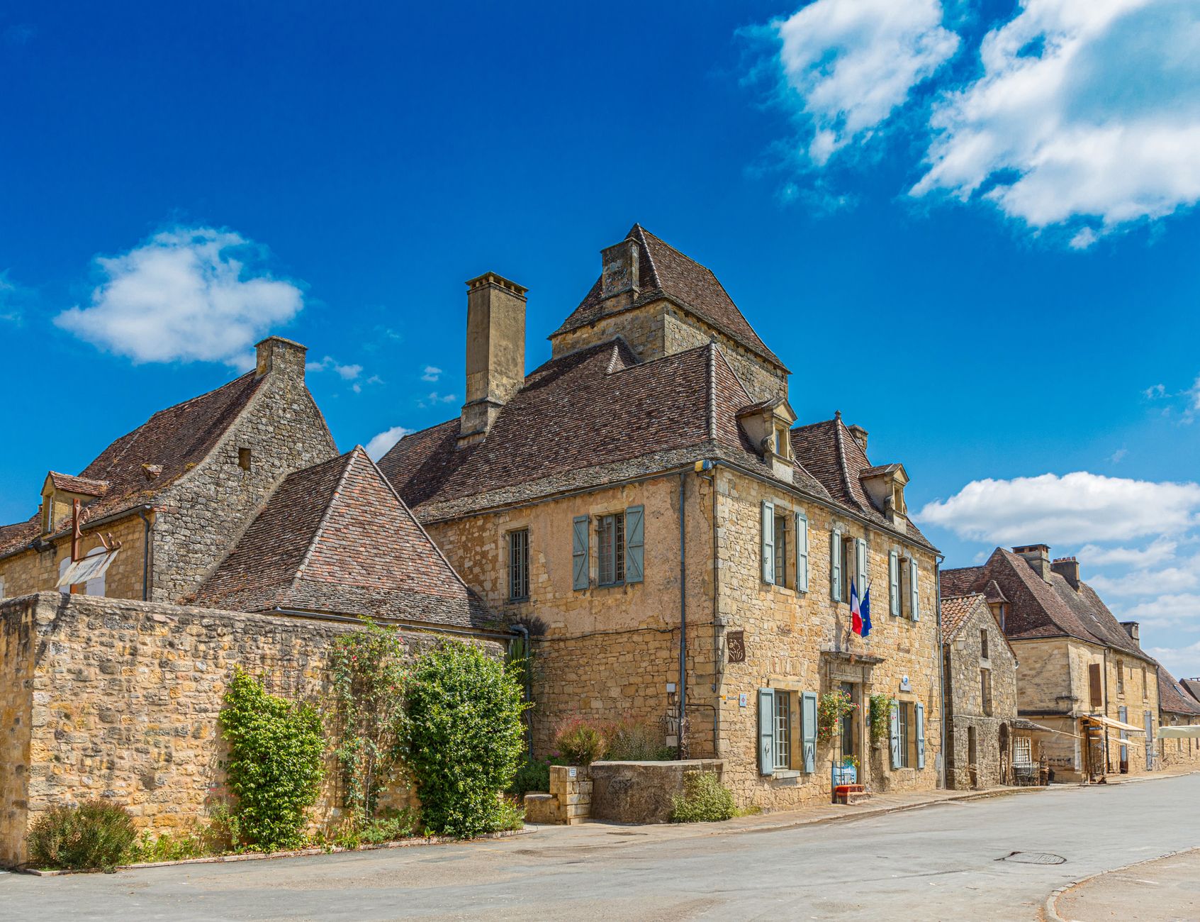
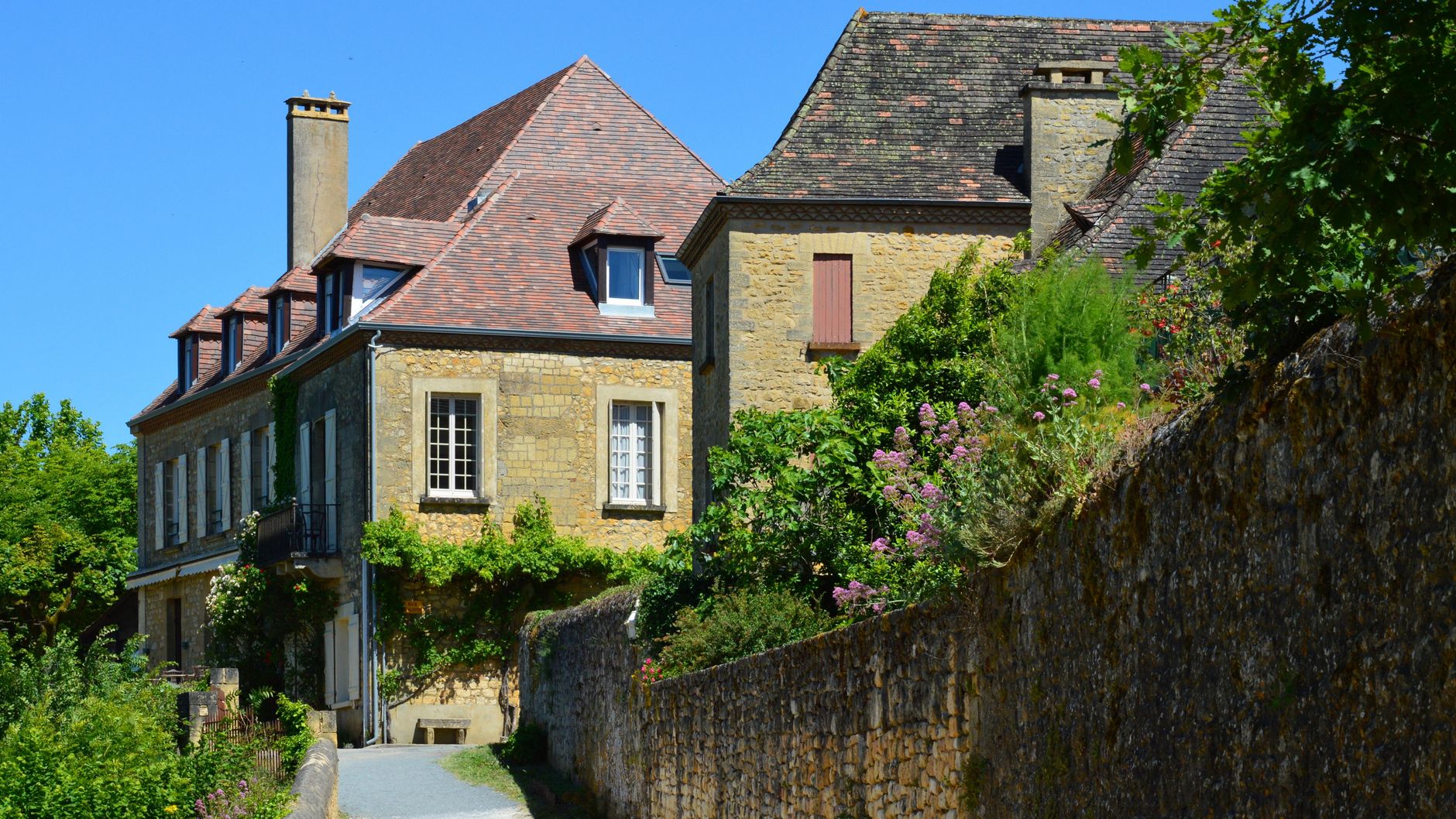
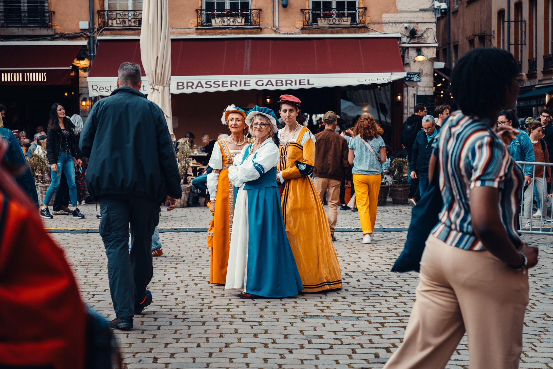
Domme sits on a limestone promontory above the Dordogne, and the first thing you notice is the drop — the valley floor is far below, the river a slow silver thread, the walnut orchards and tobacco fields stretching out in both directions. The town itself is a 13th-century bastide, its grid of pale stone streets still following the plan Philip the Bold laid down in 1281.
What keeps people here longer than planned is the layering of it: fortified gates, a cave entered through the market hall floor, and scratched into the walls of the Porte des Tours, the quiet testimony of imprisoned Knights Templar. Domme rewards the slow walker.
💛 What travellers fall for
People who come back tend to time it around the Thursday morning market, when the Place de la Halle fills with producers rather than souvenir stalls. The Grotte de Domme tour, accessed directly beneath the market hall, is worth booking early in the day — groups are small and the 13°C underground air is a genuine relief in August.
Experiences you don't want to miss


Deals in Domme
Book directly at the providerHow Domme came to be
Philip the Bold founded Domme in 1281 as a royal bastide, a fortified town built to consolidate French control along the Dordogne. By 1310 its ramparts were complete, and the town had the unusual right to mint its own currency. In 1307, as the French crown moved against the Knights Templar, prisoners were held in the twin towers of the Porte des Tours — their carved graffiti, crosses and figures scratched into the stone, still survive.
The Hundred Years' War passed through repeatedly: the English first took the town in 1347, and it changed hands until finally returning to French rule in 1437. In 1588, Protestant forces entered by scaling the cliffs at night, though they were besieged and surrendered in 1592. Popular revolts followed in 1594 and 1637. A brief prosperity in the 17th century then gave way to a long quietude — which is largely why so much of the original fabric remains.
Who and what shaped it
People who shaped it
Landmark buildings
See Domme in motion
Plan your visit
On the map
When to go
May through October is the window when the weather cooperates; July and August are warm enough that the cave's constant 13–15°C feels like a reward rather than a curiosity. January through March brings the worst of it — cold, wet, and many sites closed or running reduced hours.
Right now
Background & history adapted from Wikipedia (CC BY-SA) · specs from Wikidata (CC0) · weather from Open-Meteo · map data © OpenStreetMap contributors · photos from Wikimedia Commons / Unsplash with per-image credit. No third-party reviews or social posts reproduced.