
Dingwall
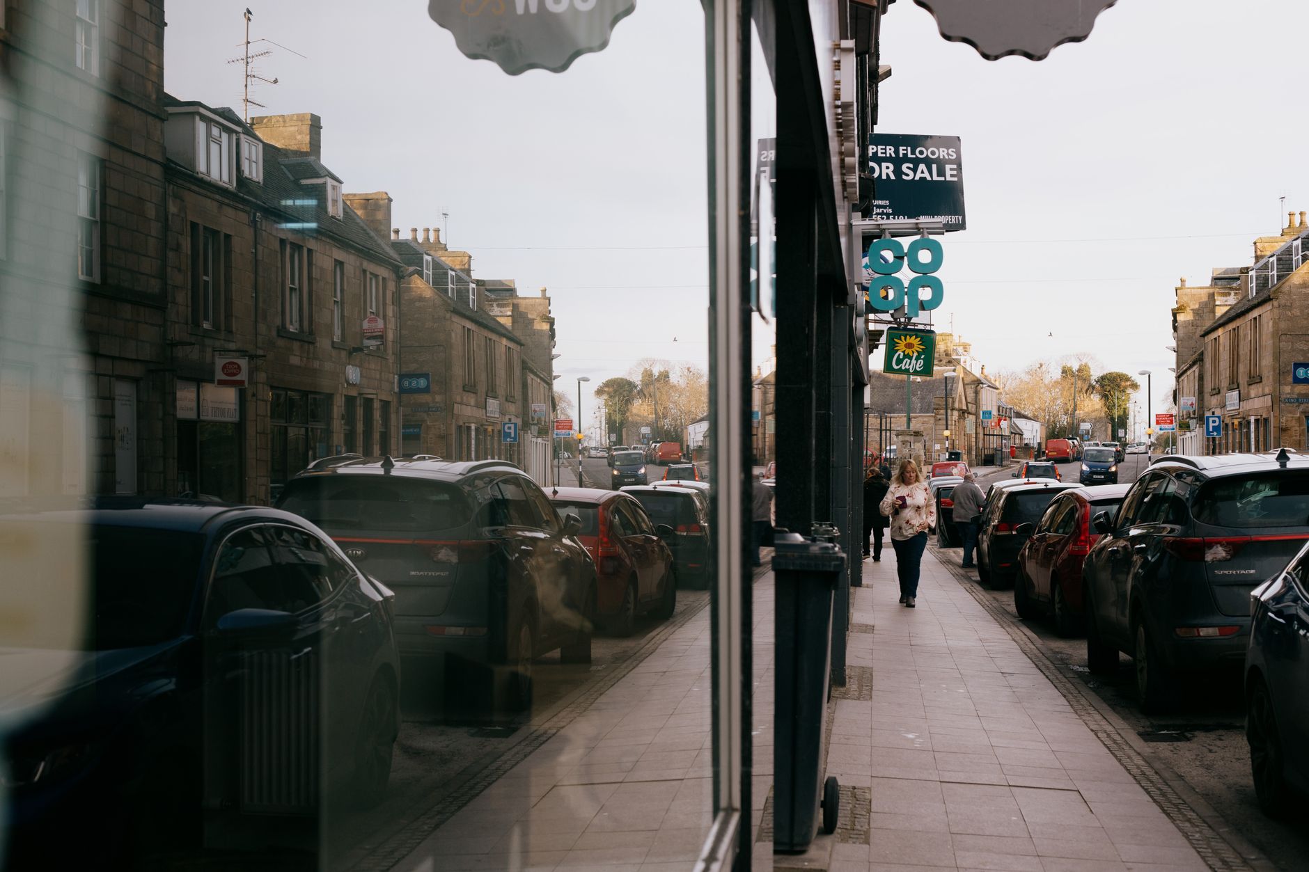
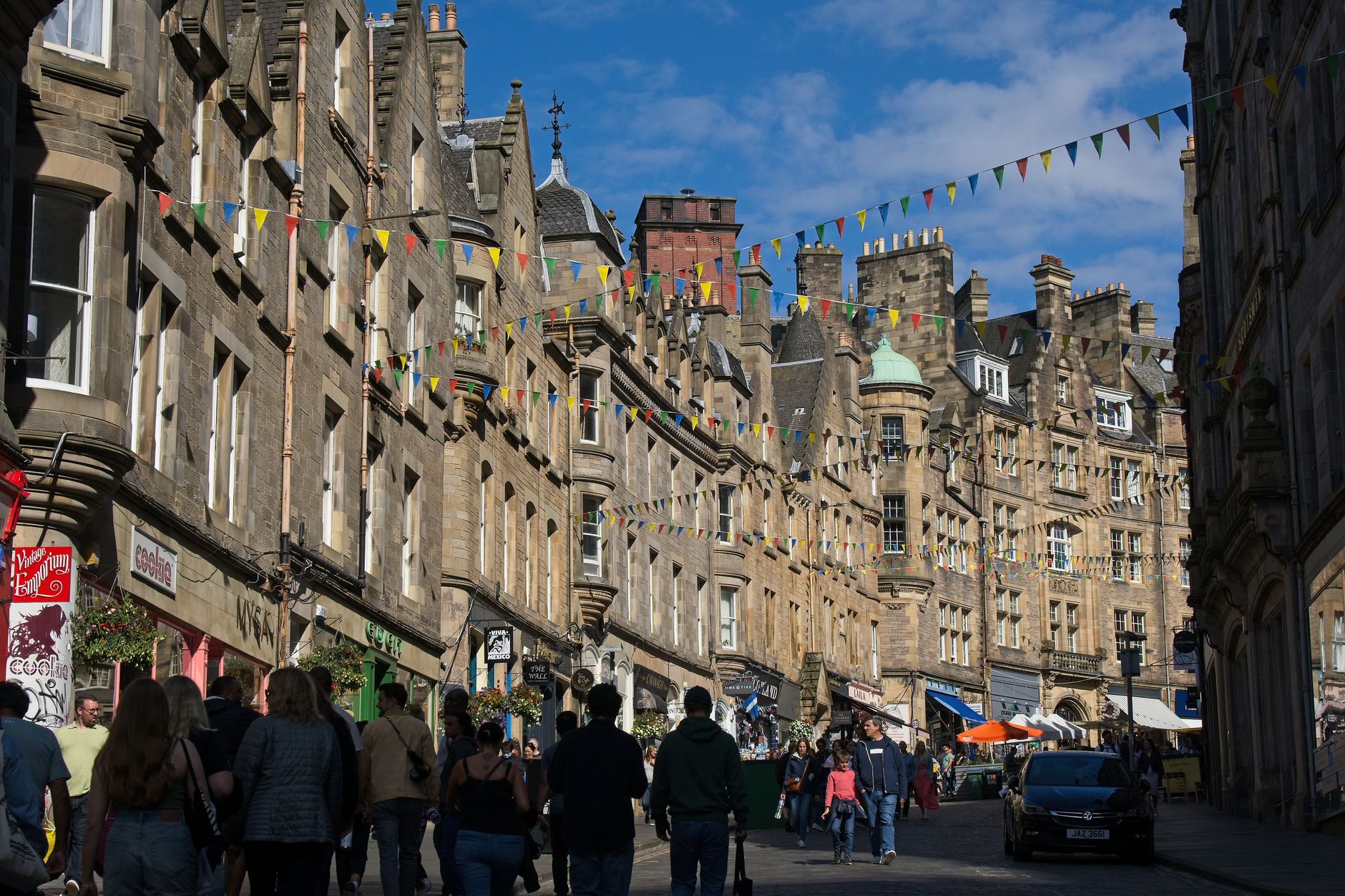
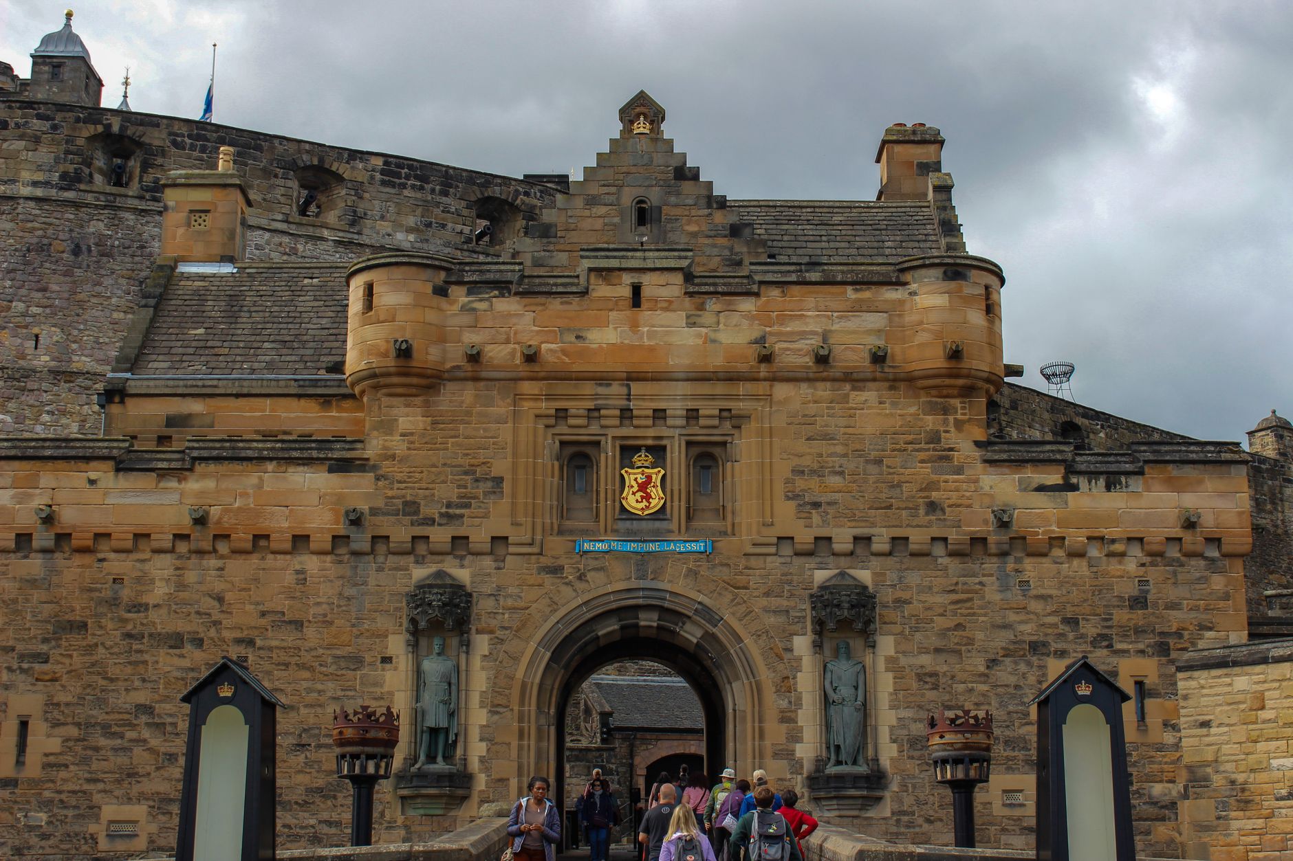
Dingwall sits at the head of the Cromarty Firth where two railway lines diverge — one heading west to Kyle of Lochalsh, the other pushing north to Wick and Thurso. That junction has defined the town for over 160 years, making it a place you pass through before realising it deserves a pause.
The town is small enough to read in an afternoon, but its layers run deep: a Norse name that outlasted its Gaelic equivalent, a castle that Edward I once garrisoned and Robert the Bruce later reclaimed, and a harbour canal engineered by Thomas Telford that turned a tidal river into a reliable port. The Heritage Trail ties it together in about 30 minutes, though the Pictish symbol stone near the churchyard entrance alone is worth the detour.
💛 What travellers fall for
People who return tend to time it around the train connections — a coffee-and-wander hour between Inverness and a northbound departure. The tolbooth tower on the high street is the landmark to orient yourself by, and the Dingwall Museum inside it is genuinely compact and well-curated. The Hector Macdonald monument up on Greenhill gives you the best read of the surrounding firth.
Deals in Dingwall
Book directly at the provider


How Dingwall came to be
The name Dingwall is Norse — a thing-völlr, or assembly field — which tells you who was here before the medieval Scots. King Alexander II formalised it as a Royal Burgh in 1226, and the castle on its mound, dated by excavation to between 1029 and 1220, changed hands during the Wars of Scottish Independence: garrisoned by Edward I, then taken back for Robert the Bruce by the Earl of Ross. Robert granted the castle and lands to that same Earl in 1321. By 1600 the Crown had abandoned it, and after 1625 it was gradually quarried away to nothing — levelled entirely by 1817.
That same decade, Thomas Telford was redirecting the River Peffery into a canal to give the harbour reliable access to the Cromarty Firth regardless of the tide. The railway arrived from Inverness in 1862, and by 1870 Dingwall had become the junction it remains today — the point where the Far North Line and the Kyle Line part ways.
Who and what shaped it
People who shaped it
Landmark buildings
See Dingwall in motion
Plan your visit
On the map
When to go
Summers are mild and long-lit, with daylight stretching well into the evening, though rain arrives without much warning from the firth. Winters are cold and short on daylight, and the hills around the town can hold snow from November through March.
Right now
Background & history adapted from Wikipedia (CC BY-SA) · specs from Wikidata (CC0) · weather from Open-Meteo · map data © OpenStreetMap contributors · photos from Wikimedia Commons / Unsplash with per-image credit. No third-party reviews or social posts reproduced.