
Dhulikhel
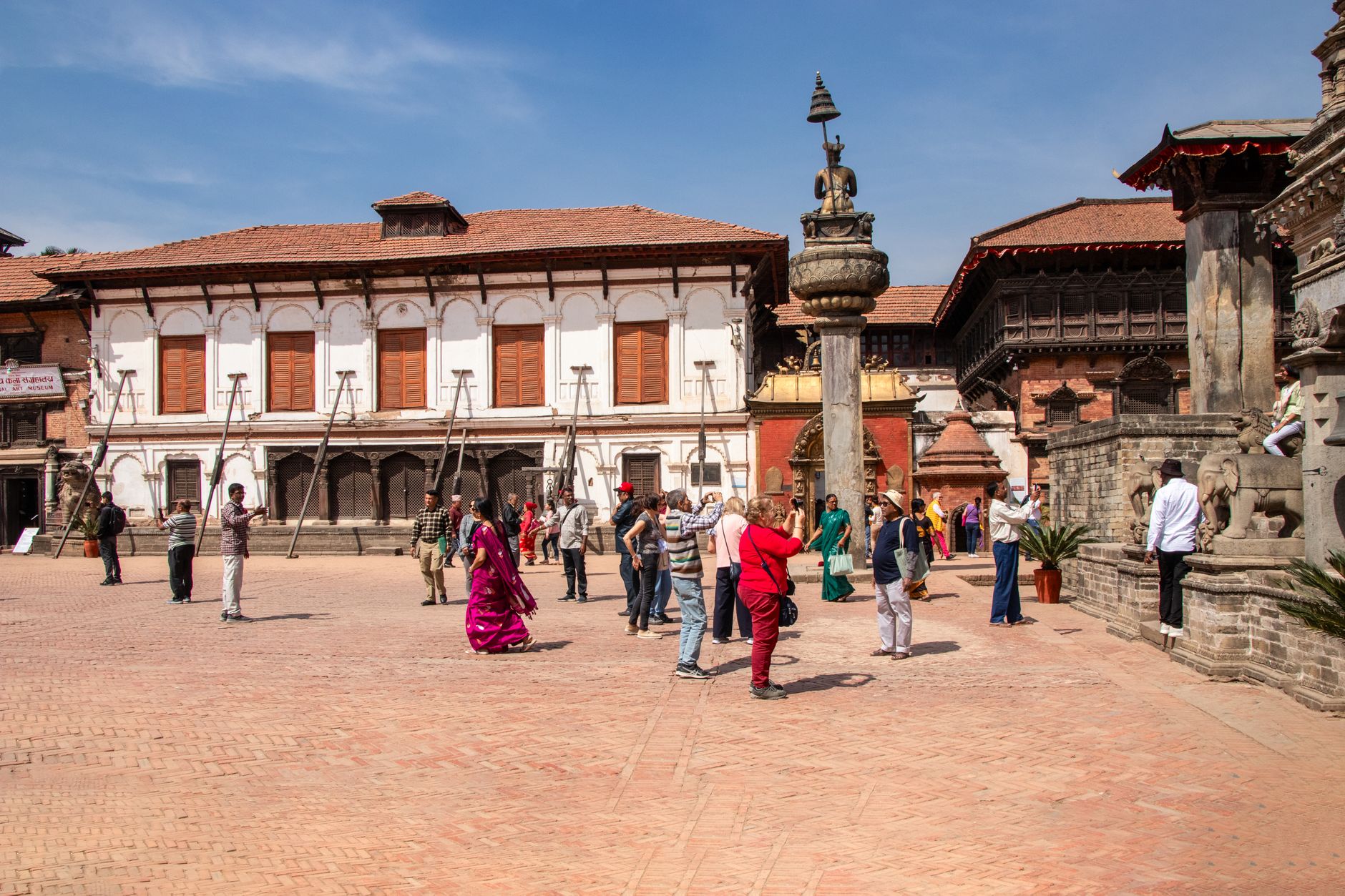
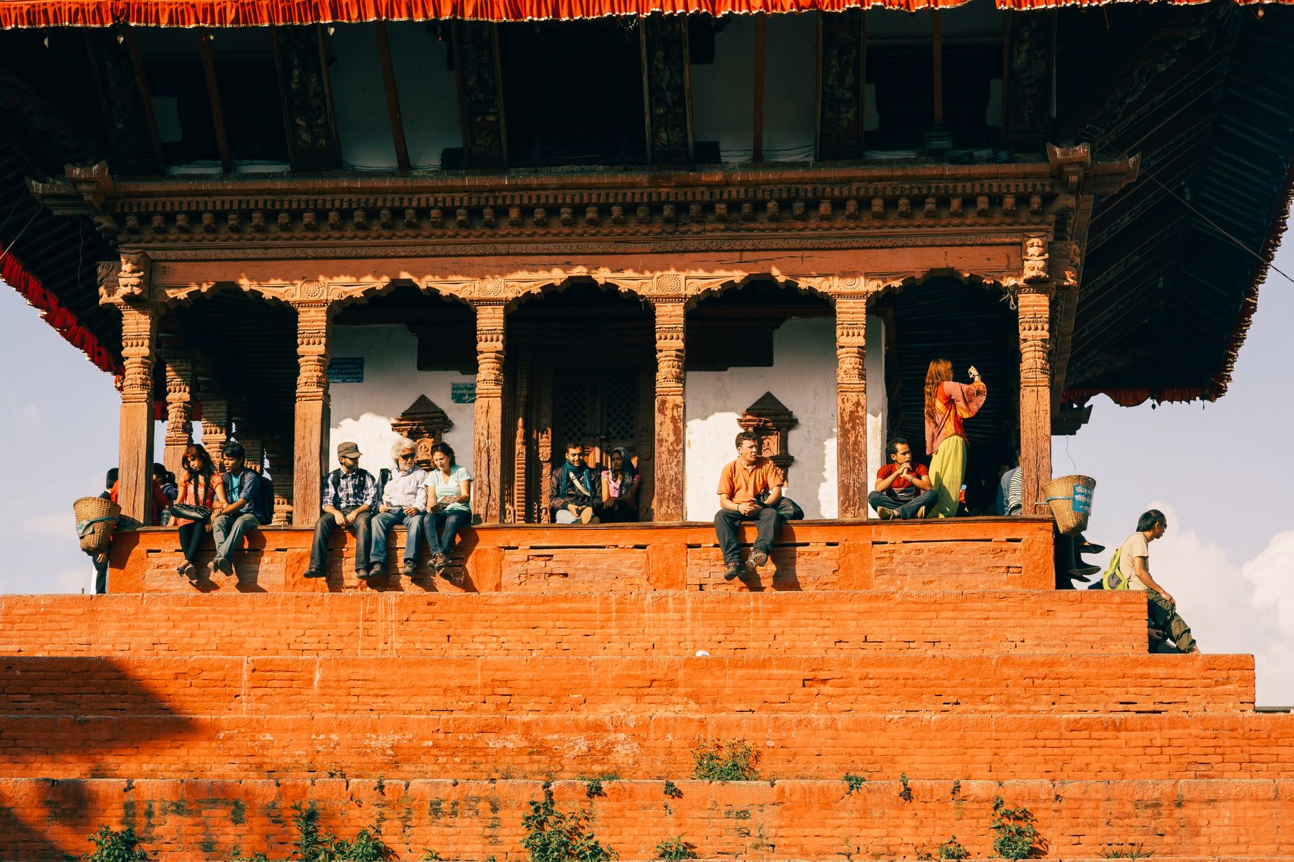
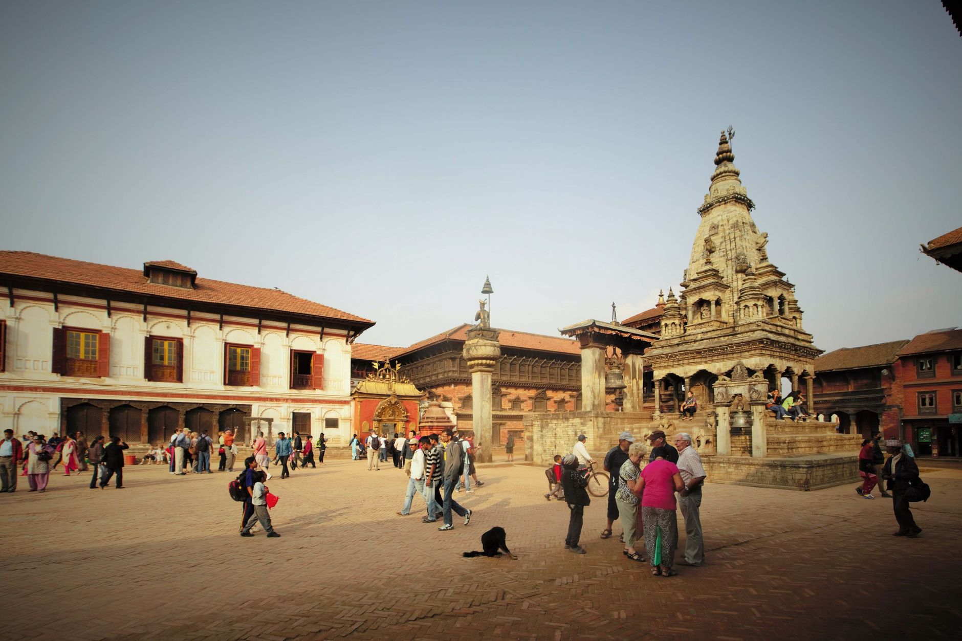
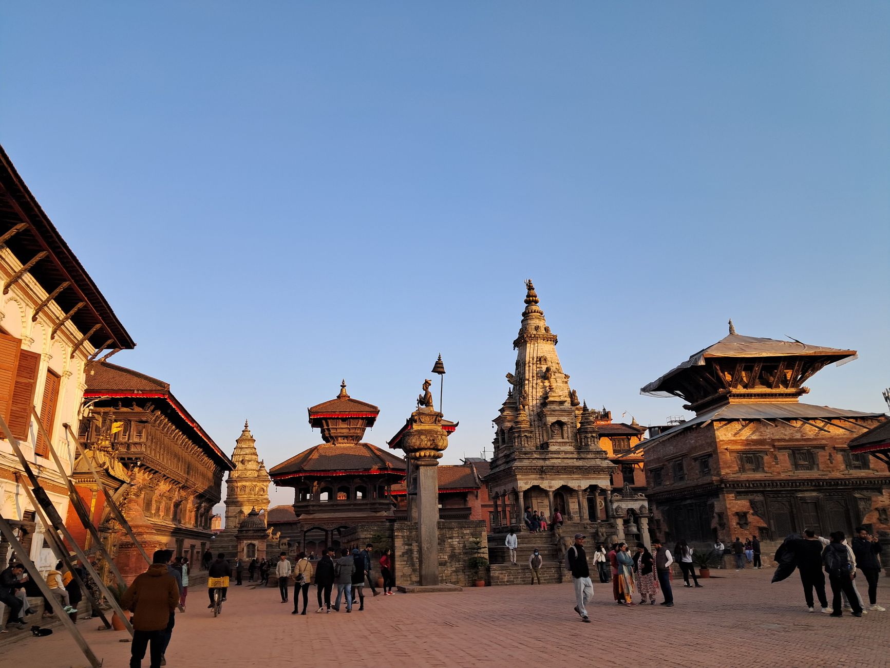
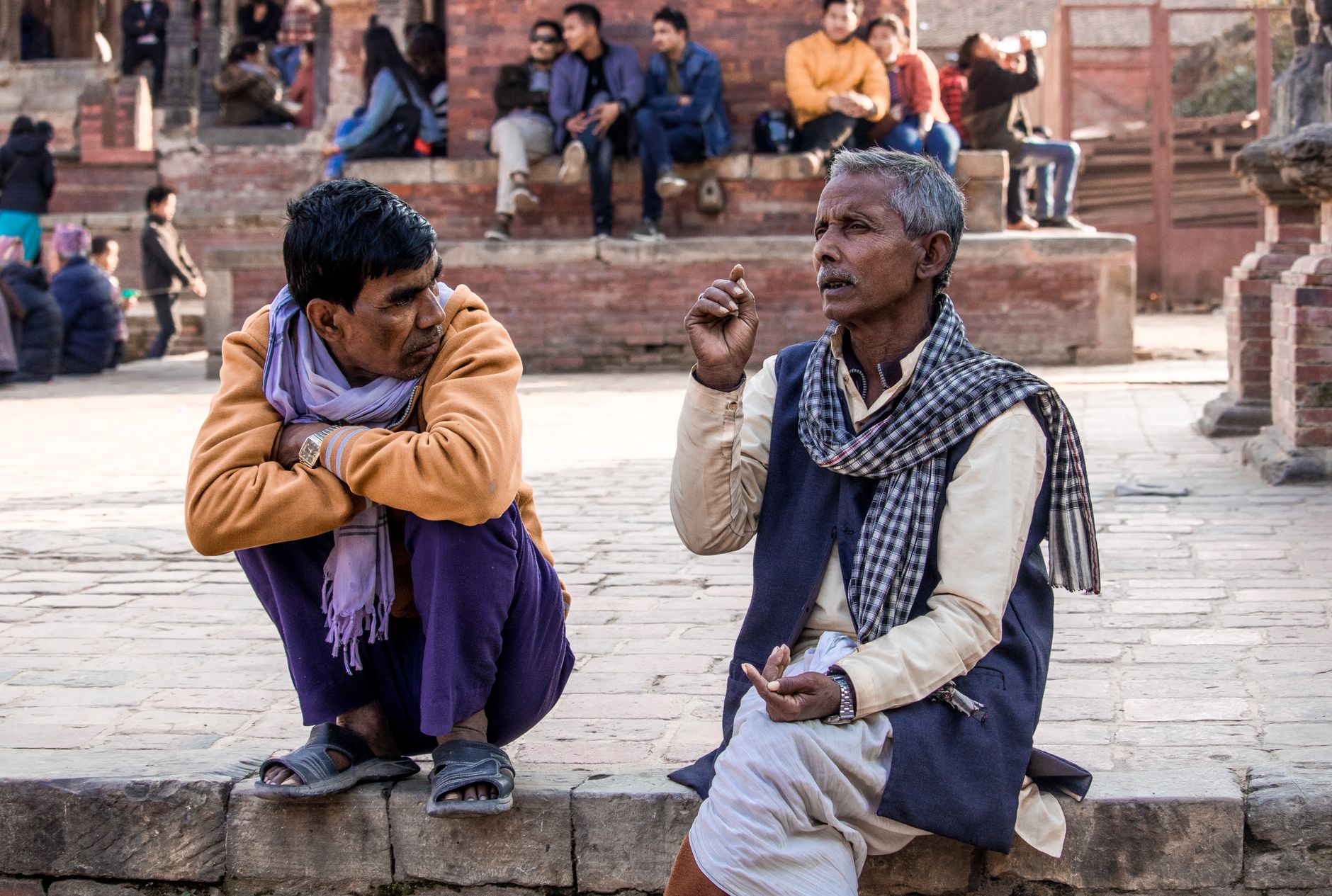
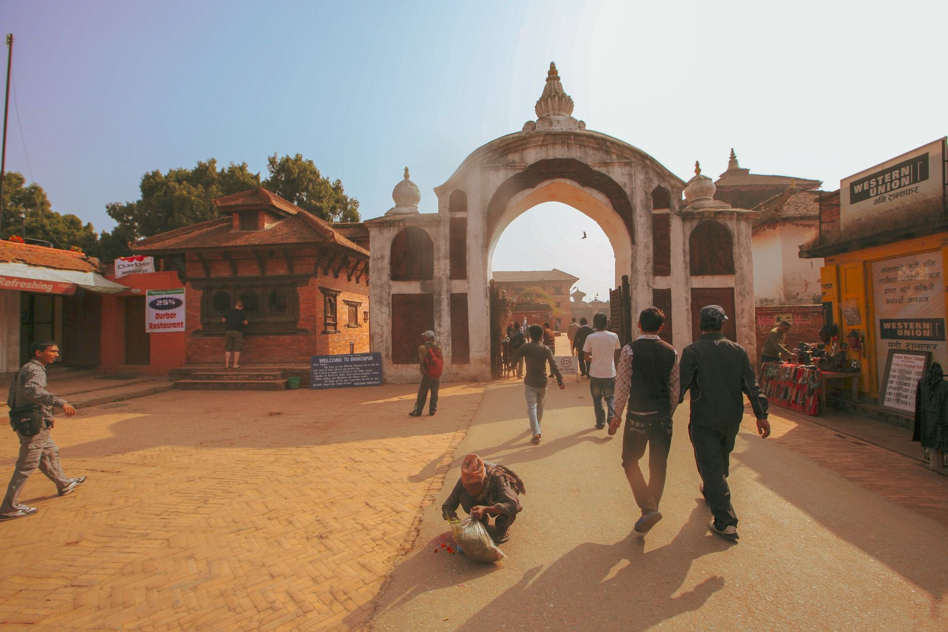
Stand at Dhulikhel's old town square at first light and the Himalayan arc from Langtang to Numbur fills the eastern sky — a wall of snow that seems improbably close for a town of brick lanes and cooking smoke. The square itself is the hinge of the place: four roads radiate out to the compass points, and the yellow-metal-roofed Narayan Temple anchors everything, flanked by the Harisiddhi shrine and two stone Garudas worn smooth by centuries of hands.
At 1,550 metres on the eastern rim of the Kathmandu Valley, Dhulikhel sits where the valley ends and the hills begin to crumple toward the high mountains. The old toles — Wotole, Etole, Dutole, Chochhe Tole — are still lined with Newari brick houses whose carved wooden windows predate anyone's grandparents by a wide margin.
💛 What travellers fall for
People who come back tend to time it the same way: bus in from Ratna Park in the late afternoon, walk the old town before the light goes, then set an alarm for the sunrise. The second morning, they say, is the one that gets you — when you already know which rooftop faces east and you've figured out where to get tea before the town is fully awake.
Deals in Dhulikhel
Book directly at the provider


How Dhulikhel came to be
A stone inscription dated 481 AD — the oldest document to name the settlement — records that Dhulikhel was established during the Kirata period, under the protection of the goddess Bijayeshwari Bhagawati. Later chronicles credit a 13th-century Malla ruler, Ananda Malla (r. c.1274–1308), with founding the town, though historians read this as reorganisation of a place already centuries old. The Bhagwati Temple went up in 1673, the Kali Temple in 1703, both still standing in the old quarter.
After the 16th century the town grew as a Newari agricultural centre — mangoes, bananas, rice — and a waypoint on the trade routes that threaded east through the valley. In 1820 BS the Gorkhali forces of Prithvi Narayan Shah's unification campaign took Dhulikhel along with Banepa, Panauti, Sanga, Khadpu and Nala in a single sweep, folding it into what would become modern Nepal.
Who and what shaped it
People who shaped it
Landmark buildings
See Dhulikhel in motion
Plan your visit
On the map
When to go
October through December is the sweet spot: post-monsoon air scrubbed clear, mountain views reliable, daytime temperatures comfortable in a light layer. The monsoon from June to September brings serious rain — July averages over 500mm — and the views cloud over for days at a stretch; January nights can drop to around 3°C.
Right now
Background & history adapted from Wikipedia (CC BY-SA) · specs from Wikidata (CC0) · weather from Open-Meteo · map data © OpenStreetMap contributors · photos from Wikimedia Commons / Unsplash with per-image credit. No third-party reviews or social posts reproduced.