
Cooktown
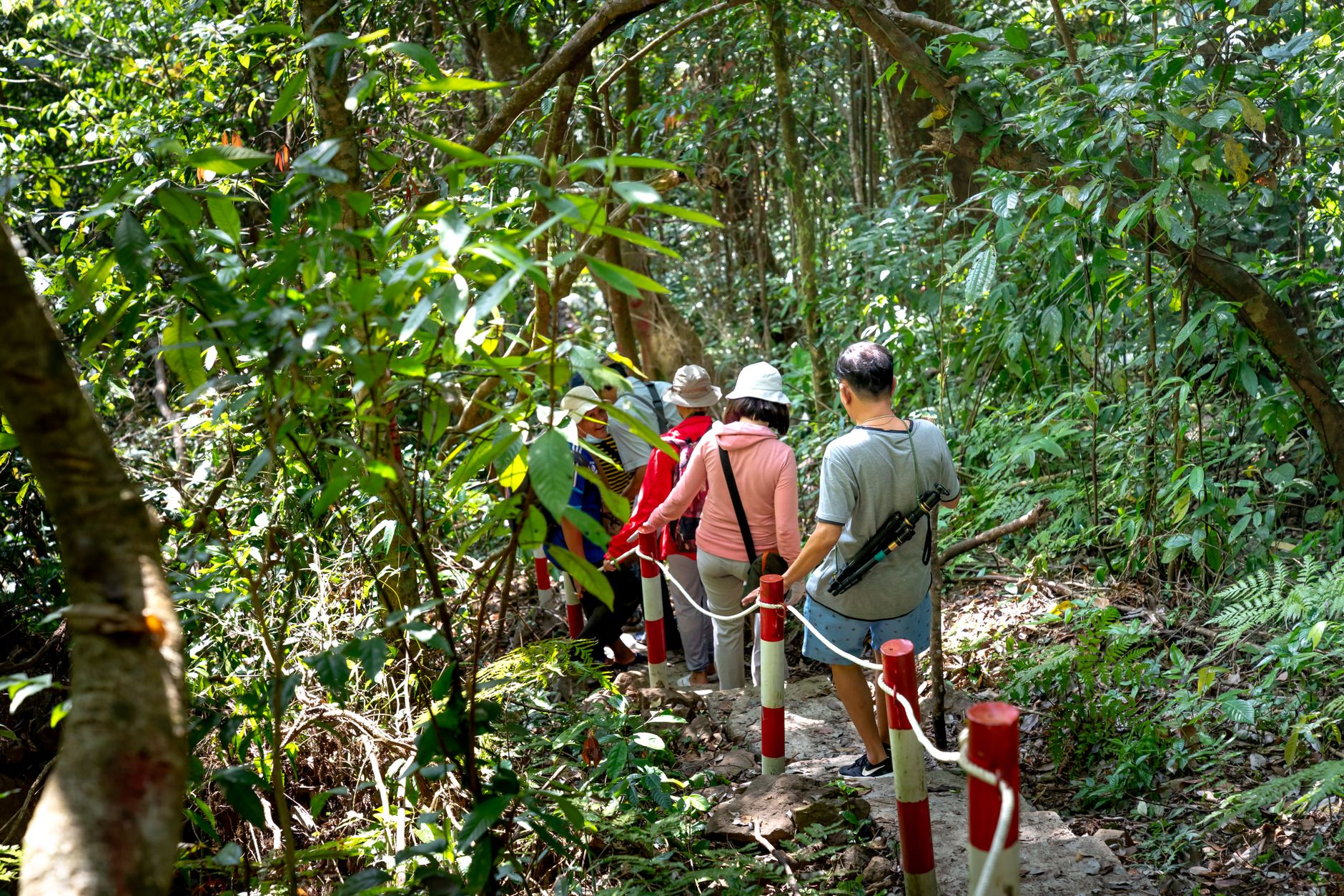
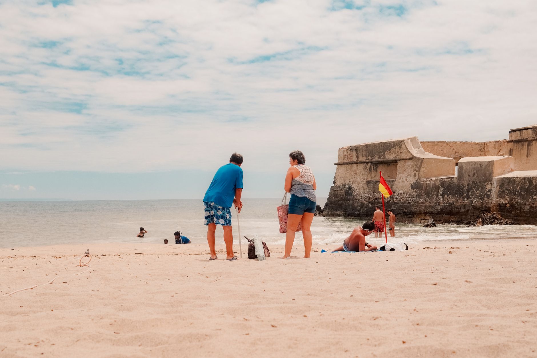
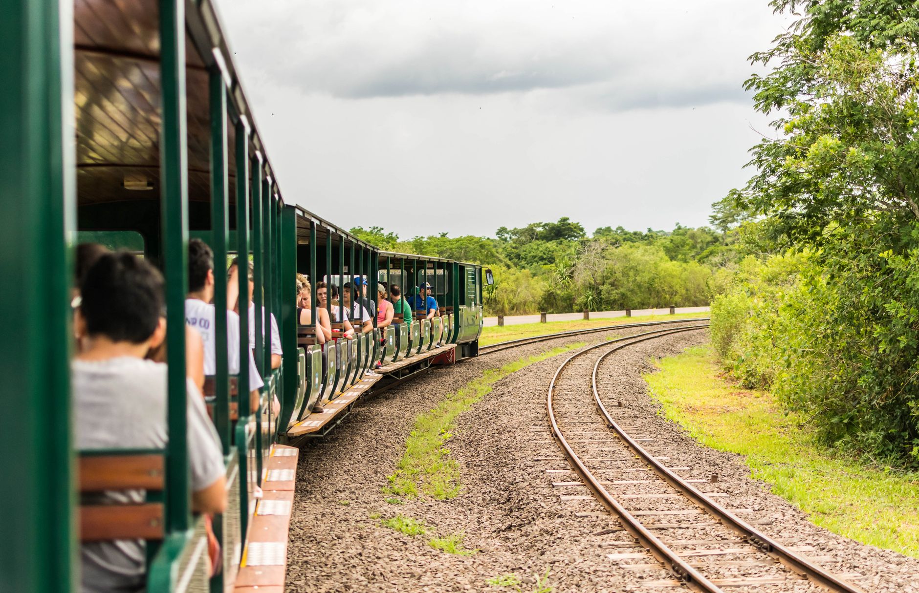

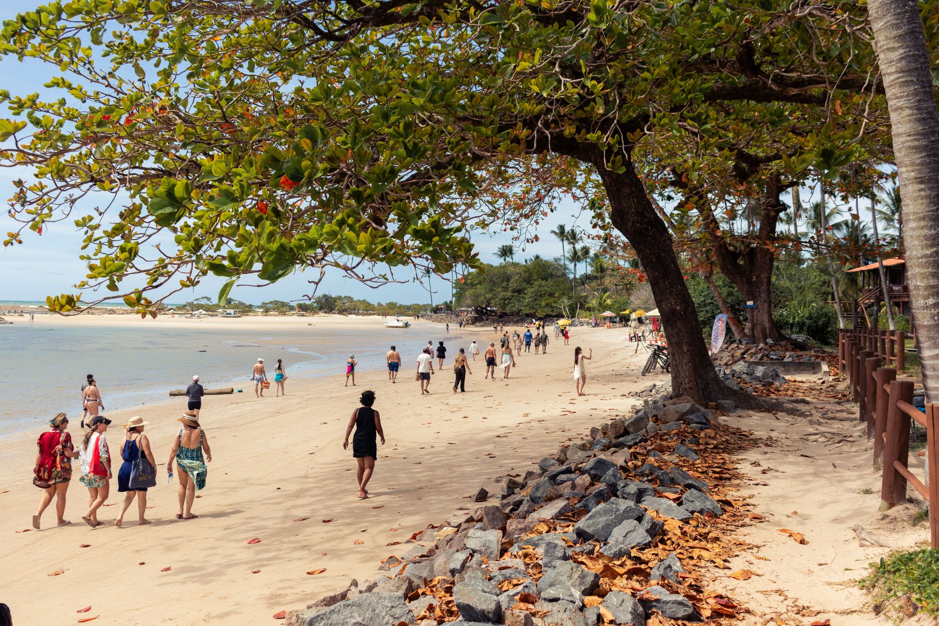
At the mouth of the Endeavour River, where James Cook dragged his damaged ship ashore in 1770 to spend seven weeks on repairs, Cooktown sits at the far edge of Queensland's Cape York Peninsula — end-of-the-road in the most literal sense. The main street, Charlotte Street, still holds buildings from the 1870s and 1880s, when this was briefly one of Australia's largest and most chaotic ports.
What brought the crowds then was gold. When James Venture Mulligan confirmed rich alluvial deposits on the Palmer River in 1873, a supply port appeared almost overnight. At its peak, around 30,000 people lived here. Today the town is a fraction of that size, and the distance from anywhere else is exactly the point.
💛 What travellers fall for
People who come back tend to make Grassy Hill a ritual — up to the 1886 lighthouse at dusk, when the Endeavour River mouth catches the last light. They also spend longer than expected at the Cooktown Museum, the old Sisters of Mercy schoolhouse designed by F. D. G. Stanley, and they always wish they'd booked a second day.
Deals in Cooktown
Book directly at the provider

How Cooktown came to be
On 25 October 1873, Archibald Campbell MacMillan arrived at the Endeavour River aboard the Leichhardt with around seventy government men and prospectors, establishing a supply port for the Palmer River goldfields. The trigger had been Mulligan's 1873 expedition, which confirmed what William Hann first suspected in 1872: the Palmer River country held real gold. The town was formally called Cook's Town until June 1874, declared a municipality in 1876, and at its height held a population of 30,000.
The decline was swift. Gold production dropped after 1885, and by 1932 the Borough of Cooktown had been absorbed into the Shire of Cook. What remains is a remarkably intact Victorian streetscape — the old Queensland National Bank from 1891, a hospital in Hope Street that served the town until 1986, botanic gardens founded in 1887 — preserved less by intention than by the town simply being left alone.
Who and what shaped it
People who shaped it
Landmark buildings
See Cooktown in motion
Plan your visit
On the map
When to go
The dry season (May to October) brings warm days, low humidity and reliable road access to the peninsula — this is when most visitors come. The wet season (November to April) brings heavy rain and can close the inland routes entirely, leaving the coast road as the only option.
Right now
Background & history adapted from Wikipedia (CC BY-SA) · specs from Wikidata (CC0) · weather from Open-Meteo · map data © OpenStreetMap contributors · photos from Wikimedia Commons / Unsplash with per-image credit. No third-party reviews or social posts reproduced.