
Coleraine
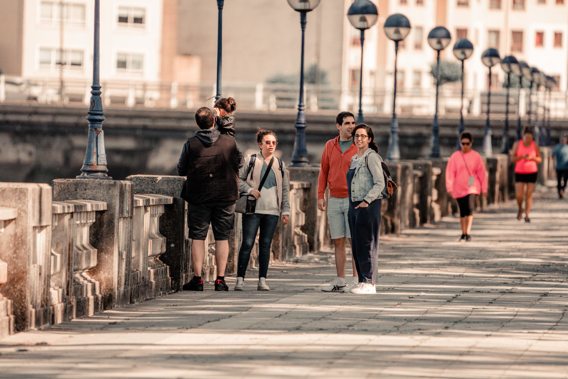
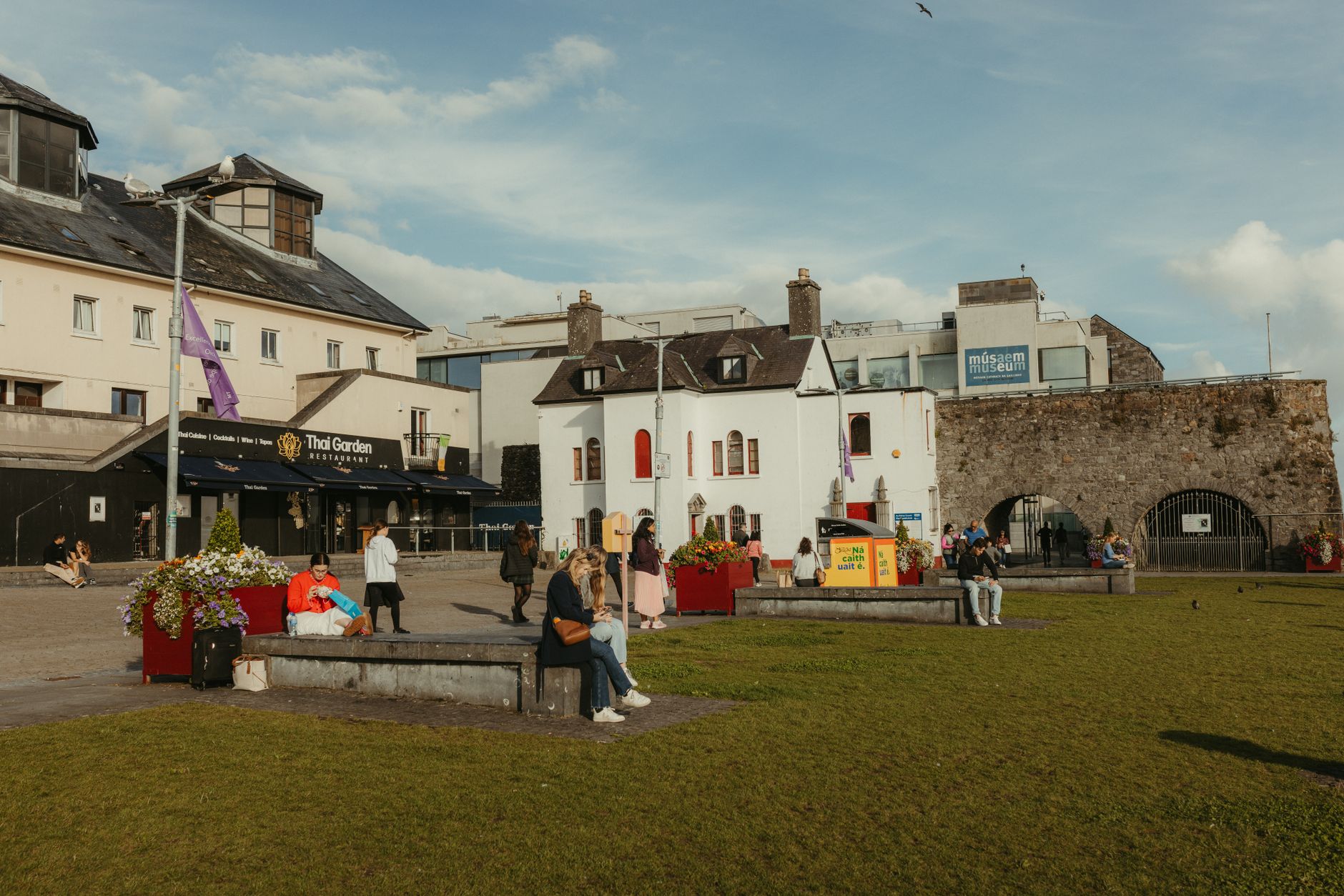

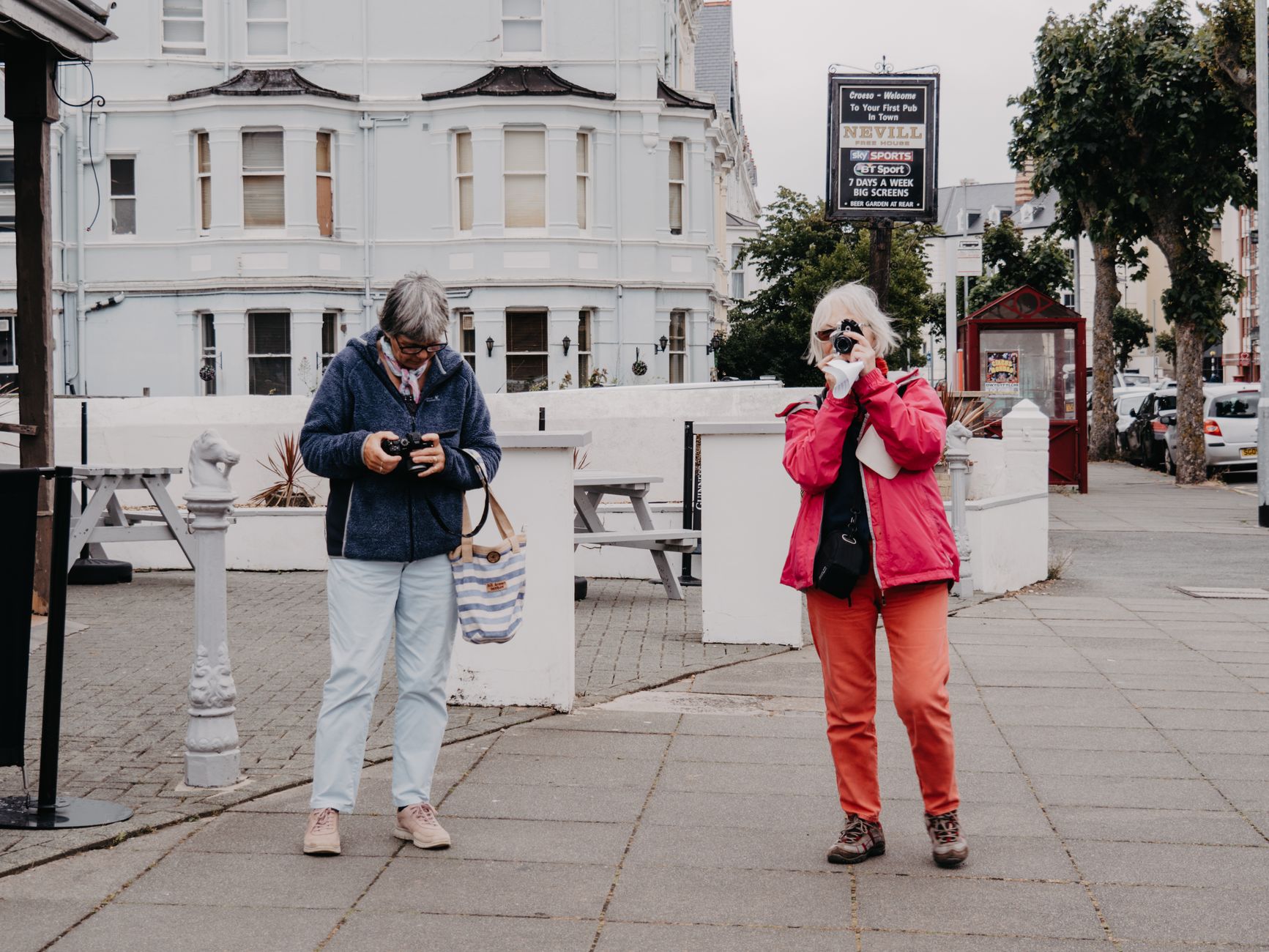

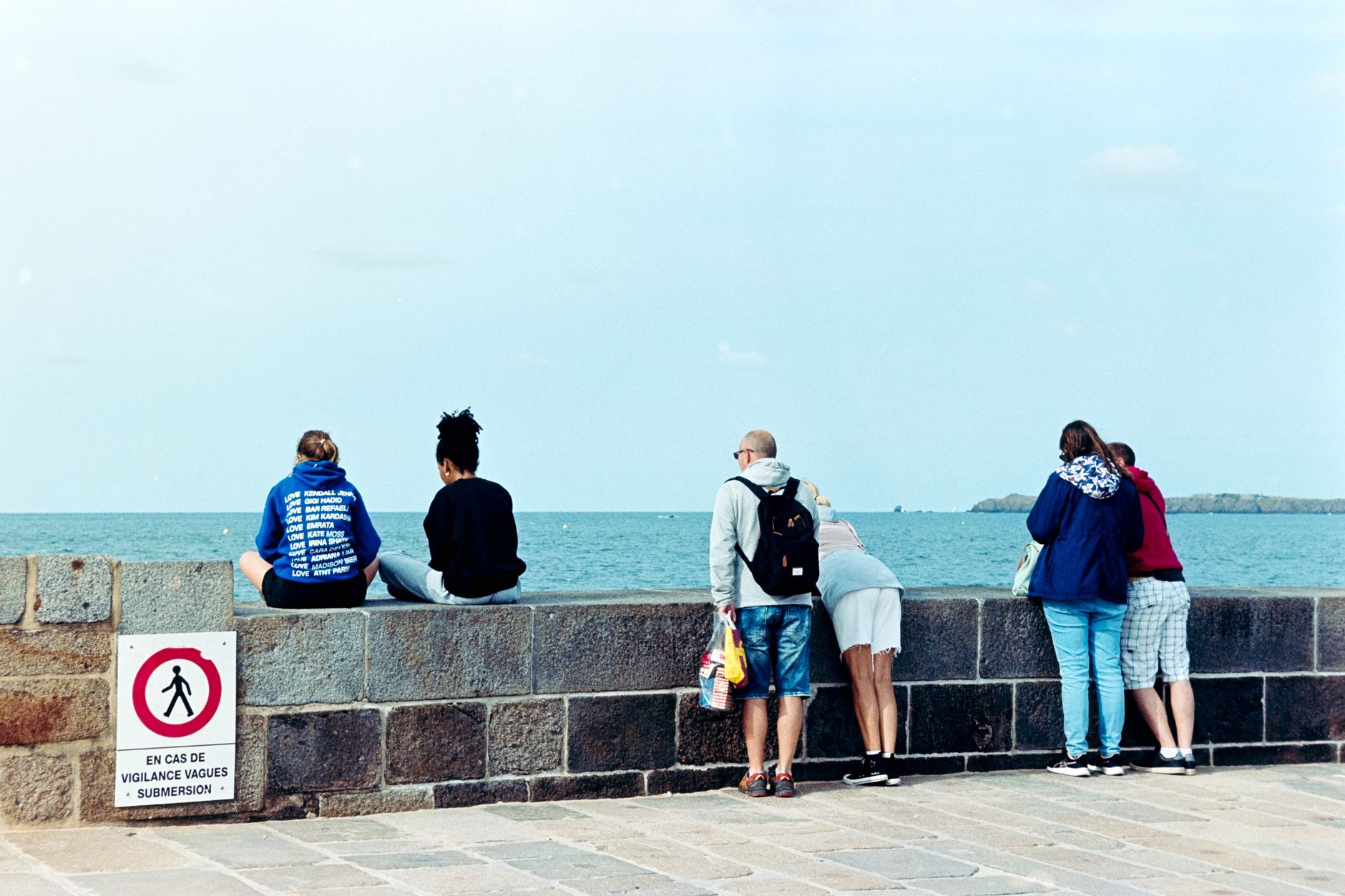
Coleraine sits at the lowest bridgeable point of the River Bann, where the water stretches 90 metres wide and three bridges cross it in close succession. The town grew up here because of that geography, and geography still shapes a visit: the river at your back, the Causeway Coast within 25 minutes, and the whole of the north Antrim shore opening up once you leave the Diamond behind.
The Diamond itself — the market square at the centre of town — has been here since 1610, when the City of London guilds laid out Coleraine as part of the Plantation of Ulster. That long continuity sits quietly in the streetplan, even if the buildings have changed around it.
💛 What travellers fall for
People who come back tend to use Coleraine as a base rather than a destination in itself — train in from Belfast, drop bags, and spend days ranging out to Bushmills and the Giant's Causeway, then return to somewhere quieter and cheaper than the coast. The hourly rail service to Derry makes that rhythm easy to sustain for several days.
Deals in Coleraine
Book directly at the provider


How Coleraine came to be
People have been living at this bend in the Bann for a very long time. Mount Sandel, just outside the town, dates to around 5935 BC — one of the earliest known settlements in Ireland. St Patrick is recorded as founding a church here in 456 AD, and the site he chose eventually became the ground on which Thomas Drew built St Patrick's Church, completed in 1885.
The town as it stands, though, is a product of the Plantation of Ulster. In 1609, King James I initiated the scheme; London trade guilds formed the Irish Society and set about building Coleraine between 1605 and 1610, with the Diamond as its civic centre. The Dominican St Mary's Abbey, abandoned in 1556, was repurposed by Sir Thomas Phillips as his residence during construction. Coleraine Town Hall, designed by Thomas Turner, arrived in 1859 to anchor the square, and Charles Lanyon's railway station had opened four years earlier, in December 1855.
Who and what shaped it
People who shaped it
Landmark buildings
See Coleraine in motion
Plan your visit
On the map
When to go
Summers are cool and often windy, with August reaching a modest 17°C — bring a layer even in July. Winters are long, wet and genuinely windswept; if you're visiting between October and February, waterproofs are not optional.
Right now
Background & history adapted from Wikipedia (CC BY-SA) · specs from Wikidata (CC0) · weather from Open-Meteo · map data © OpenStreetMap contributors · photos from Wikimedia Commons / Unsplash with per-image credit. No third-party reviews or social posts reproduced.