



★★★★★
Very historical island both old buildings !
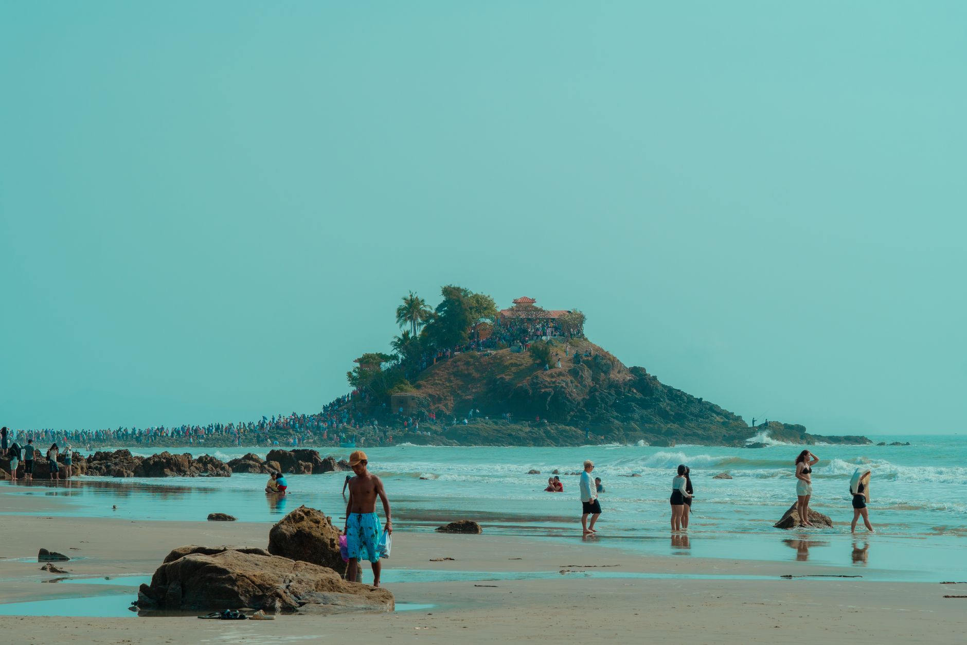
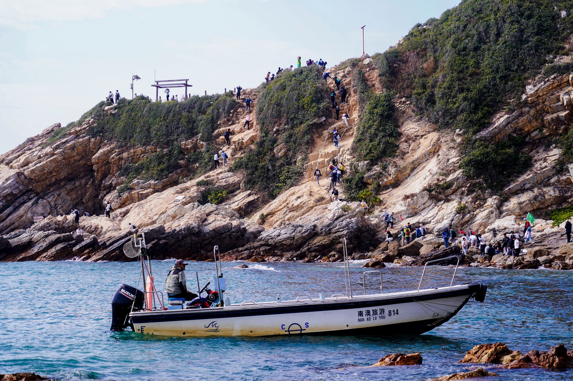
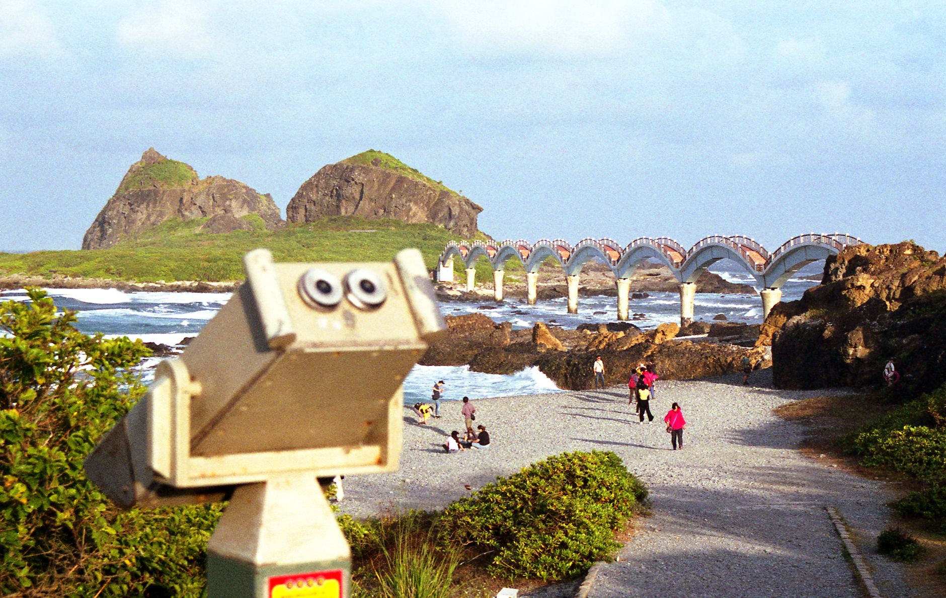
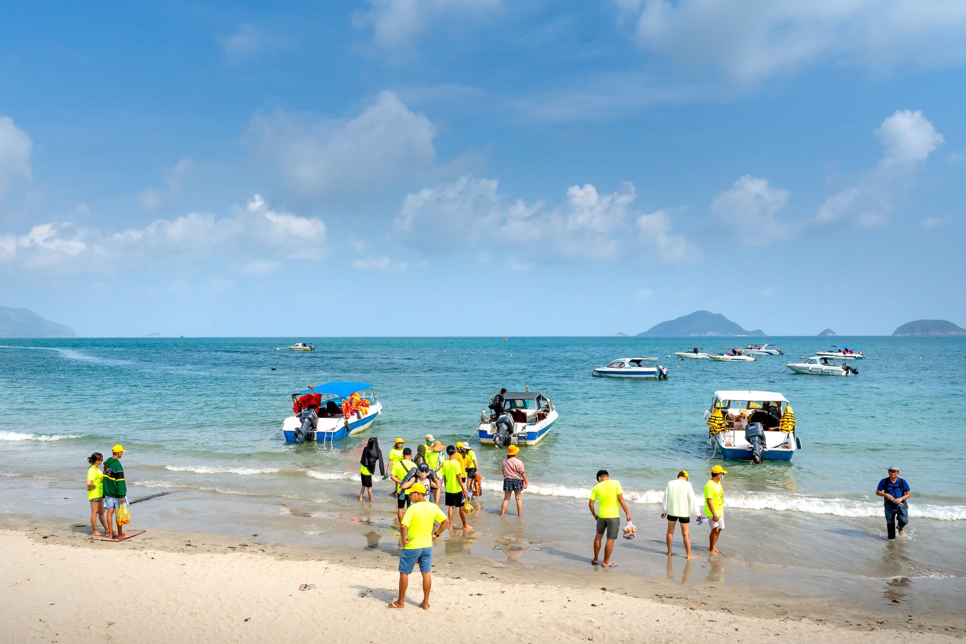
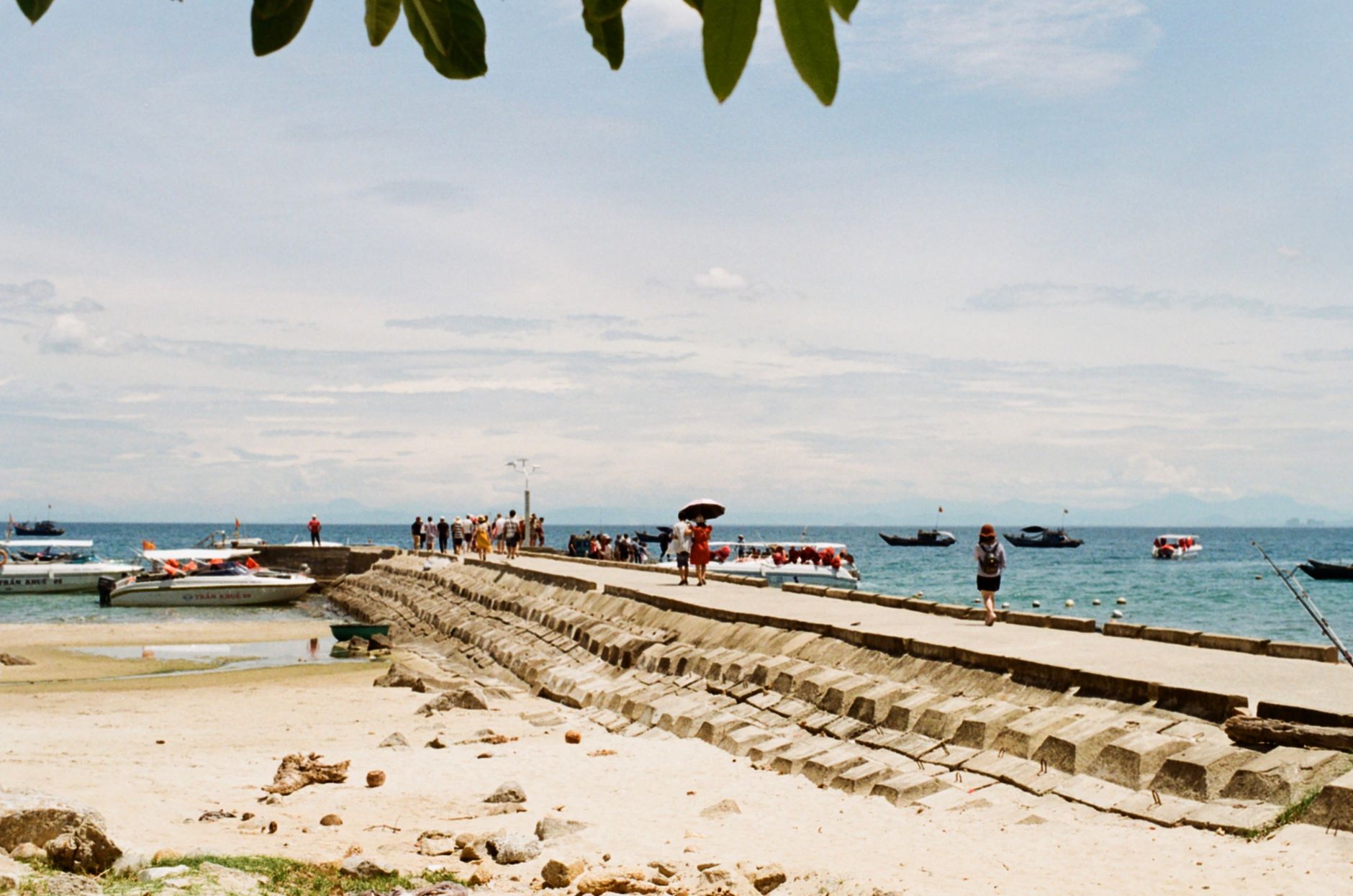
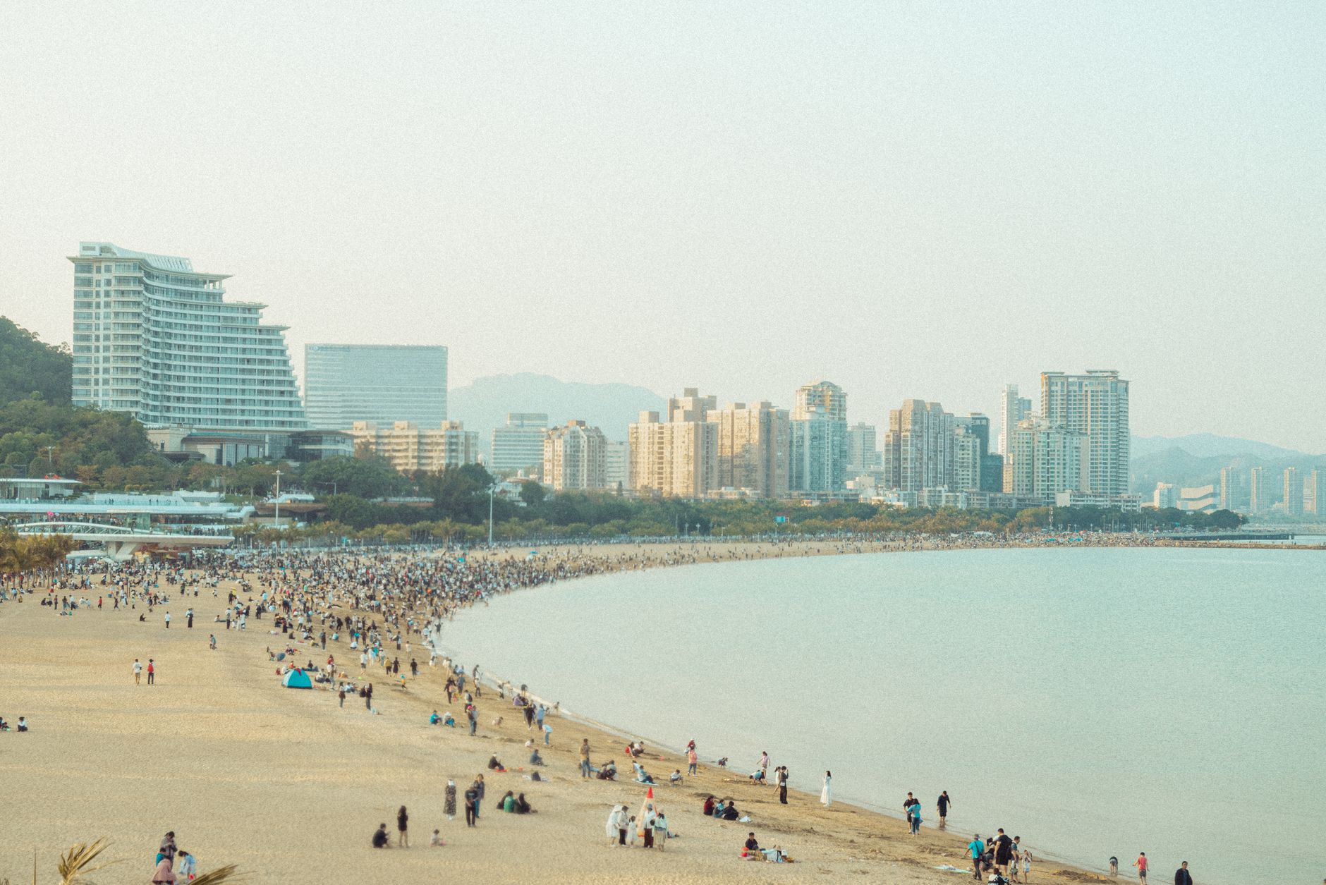
Chongming Island sits at the mouth of the Yangtze River, a flat, green expanse of reclaimed land where the crabs are so central to local life that the island goes by a second name: Crab Island. The largest crab market in China is here, in Chenjia Town, and most of the freshwater crabs sold across Shanghai's markets trace back to these channels.
For a city that rarely slows down, Chongming operates at a different register. Dongping National Forest Park — Shanghai's largest, planted tree by tree from 1959 onward — spreads across 3.55 square kilometers of poplar and camphor. Dongtan's wetlands draw migratory birds by the thousands each winter. The island became a Shanghai district only in 2017, and that relative newness to the administrative fold shows: it still feels like somewhere else.
People who come back tend to time it for autumn — river crabs are fattest then, and the light across the wetlands in November is something. They'll tell you to stay at least one night, because the two-hour journey each way makes a day trip feel rushed. The Chongming Academy, larger than either of the other two Confucian temples still standing in Shanghai, is worth the detour.
The island's origins are geological as much as historical. Two separate shoals — Xisha and Dongsha — emerged from the Yangtze delta during the Tang dynasty's Wude Era, between 618 and 626. By 705, a settlement called Chongming had formed on Xisha. A salt directorate arrived in 1222, and the Yuan dynasty elevated Chongming to prefectural status in 1348. The Ming dynasty formalized it as a county in 1396.
For centuries the island kept shifting and splitting. Around 1644, as the Ming collapsed, the scattered shoals merged into a single landmass, and by 1681 the outline of present-day Chongming was essentially fixed. It came under Shanghai's municipality in December 1958, nine years after the founding of the People's Republic, and was upgraded from county to district in January 2017 — one of the quieter administrative changes to reshape how Shanghai thinks about its edges.
April, May, November, and December offer the most settled weather for a visit. The rainy season runs mid-June to early July, and typhoons can arrive late August into early September. If birds are the draw, autumn through February is the window — migratory species concentrate in the Dongtan wetlands from November onward.
Very historical island both old buildings !
New holiday destination for people looking for tranquility, only couple of hours from Shanghai.
Interesting spot close to Shanghai, great for a day’s outing
❤️
Bad experience
Background & history adapted from Wikipedia (CC BY-SA) · specs from Wikidata (CC0) · weather from Open-Meteo · map data © OpenStreetMap contributors · photos from Wikimedia Commons / Unsplash with per-image credit. No third-party reviews or social posts reproduced.
We started Yeppa because finding real travel inspiration felt harder than it should be. The site is young and we're a small team, so we genuinely need the help of early visitors like you: if anything looks broken, odd or just plain wrong, we'd love to hear about it.
Tell us what you ran into: a broken link, a wrong photo, anything odd. We read every message.
Your note is on its way to us. It makes Yeppa better for everyone.
Subscribe to the newsletter and get travel deals & inspiration for trips that start near you.
Check your inbox and confirm your subscription. From then on we'll send you travel deals & inspiration.