
Chatswood
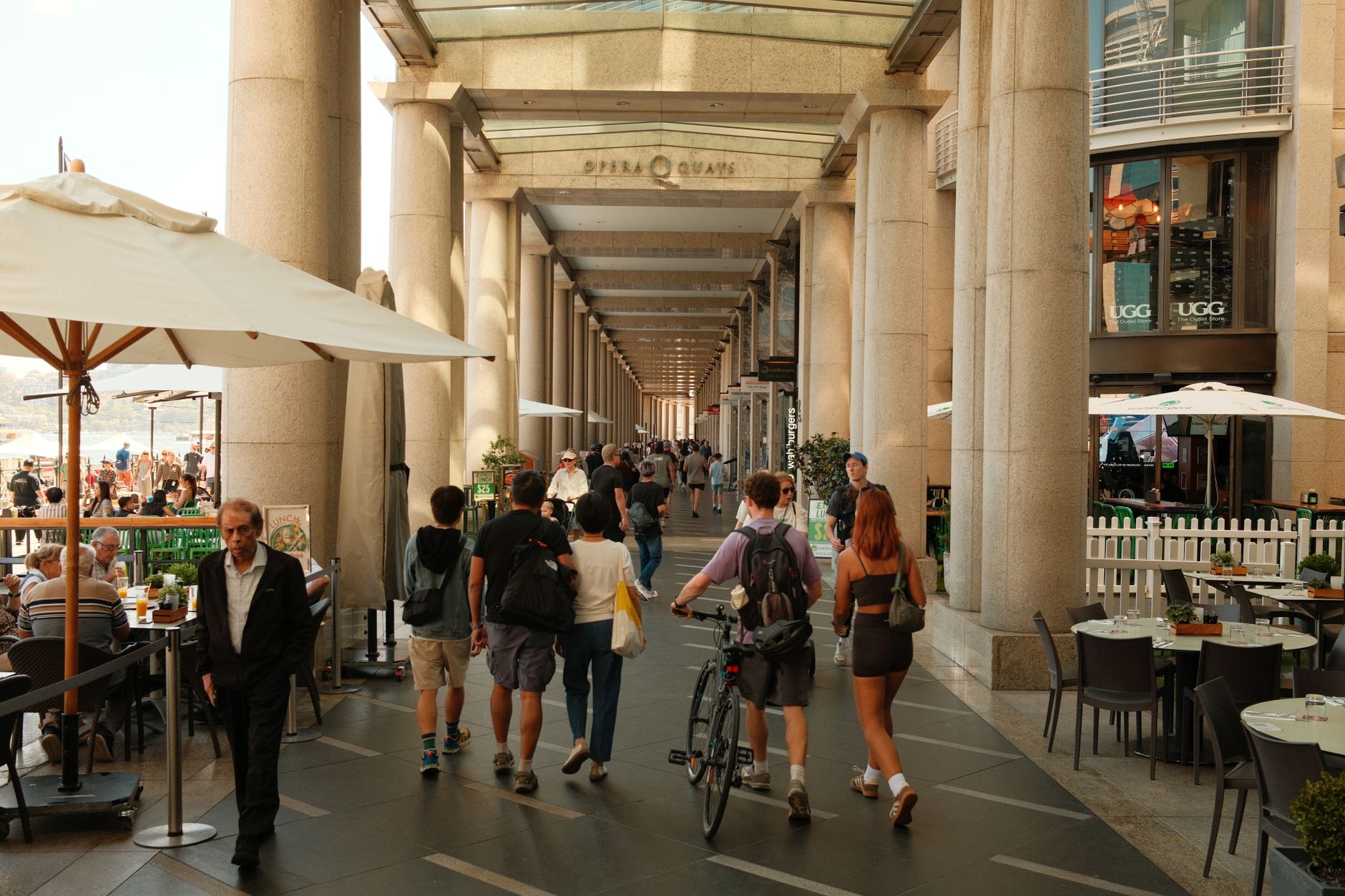
The name comes from a nickname: Charlotte Harnett, wife of the district's first mayor, was known as 'Chattie', and the wooded land around her home eventually became Chatswood. That origin story — domestic, particular, a little accidental — suits the place. What grew from a railway stop in 1890 is now one of Sydney's most densely layered suburban centres, where Cantonese bakeries and Korean BBQ joints share the same block as glass office towers, and the Metro arrives every few minutes without fuss.
The Pacific Highway corridor carries the suits and the high-rises; Victoria Avenue handles the retail. In between, Chatswood Mall draws buskers and market stalls on weekends, and The Concourse — a proper concert hall and library complex finished in 2011 — gives the whole district a civic seriousness that most suburban centres don't bother with.
💛 What travellers fall for
People who come back tend to do it for the food. The concentration of Chinese, Cantonese, Japanese and Korean restaurants around the mall and along the side streets off Victoria Avenue is real and varied — not a single strip but layers of it, from roast duck counters to basement ramen spots. Go hungry and give yourself time to look before committing.
Deals in Chatswood
Book directly at the provider

How Chatswood came to be
Settlement here began in earnest in 1876, but Chatswood only found its shape when the North Shore railway line opened on 1 January 1890, connecting it to Hornsby in the north and St Leonards to the south. The Royal Hotel had already gone up in 1887; the Railway Hotel followed in 1900, its awning facade still heritage-listed today. The opening of the Harbour Bridge in 1932 drew the suburb closer to the CBD in practical terms.
For decades Chatswood remained a modest district centre — formally recommended for development in the 1948 County of Cumberland Planning Scheme, declared a Town Centre in 1983. The transformation into a high-density urban node came later, driven by the Zenith Centre's twin 22-storey towers in the mid-1980s and, from the 1990s onward, significant residential high-rise development that brought large communities from China, Hong Kong and Korea, reshaping the character of the centre entirely.
Who and what shaped it
People who shaped it
Landmark buildings
See Chatswood in motion
Plan your visit
On the map
When to go
Summers run warm rather than extreme — highs of 25 to 28°C through December to February, though February is also the wettest month, averaging 120mm of rain, so a layer you can fold away is useful. July is the driest month and mild enough for comfortable walking; the city averages around seven hours of sunshine daily across the year.
Right now
Background & history adapted from Wikipedia (CC BY-SA) · specs from Wikidata (CC0) · weather from Open-Meteo · map data © OpenStreetMap contributors · photos from Wikimedia Commons / Unsplash with per-image credit. No third-party reviews or social posts reproduced.