
Changping District
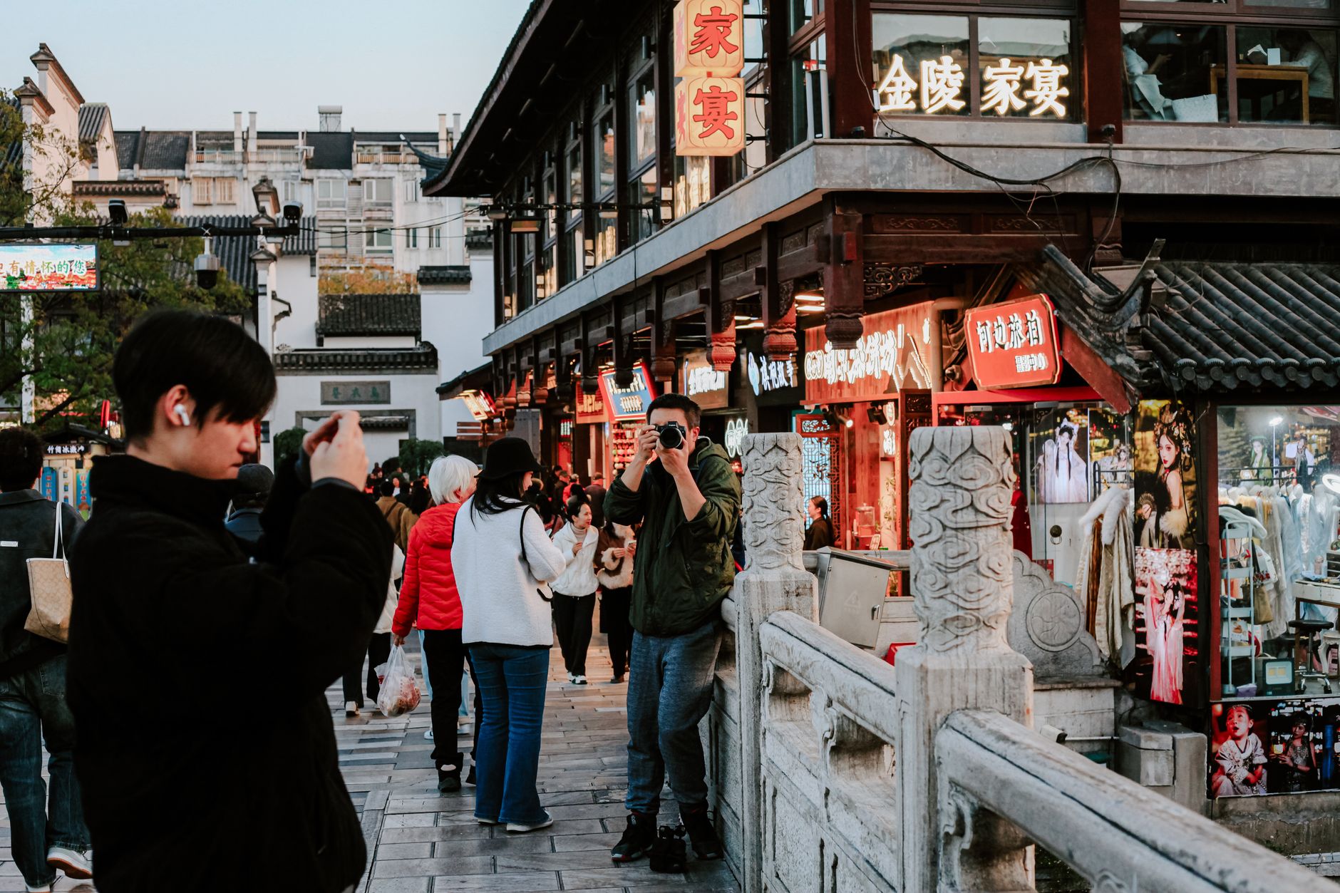
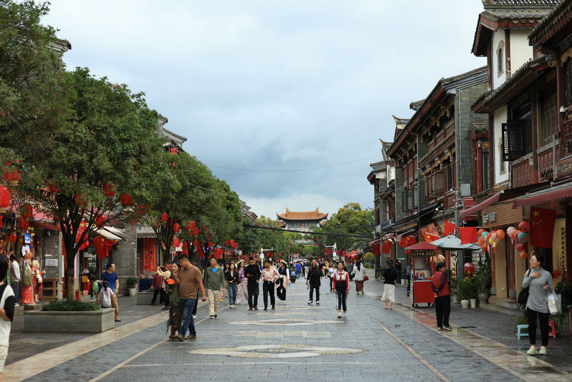
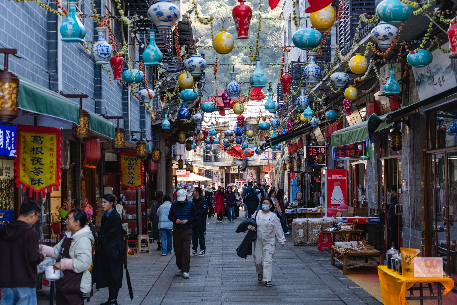
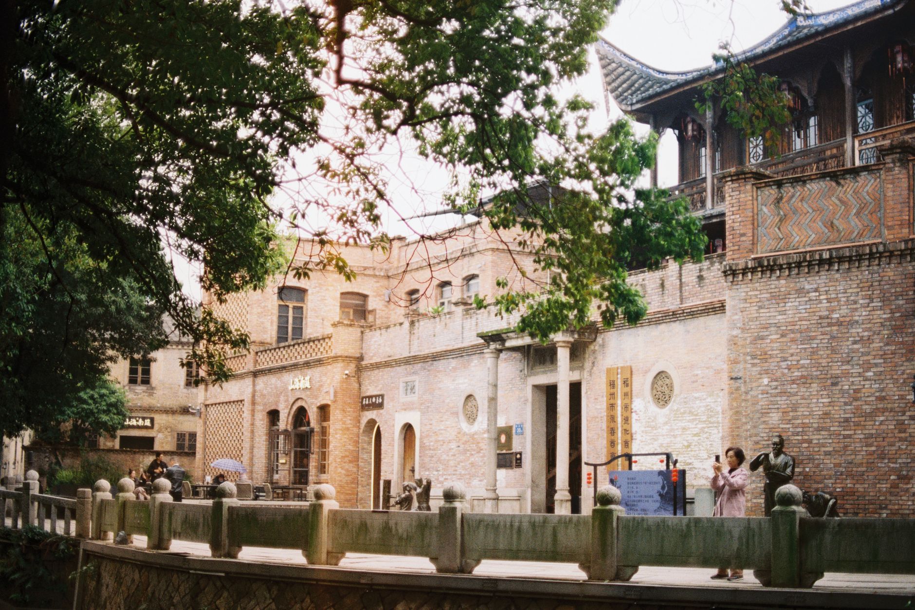
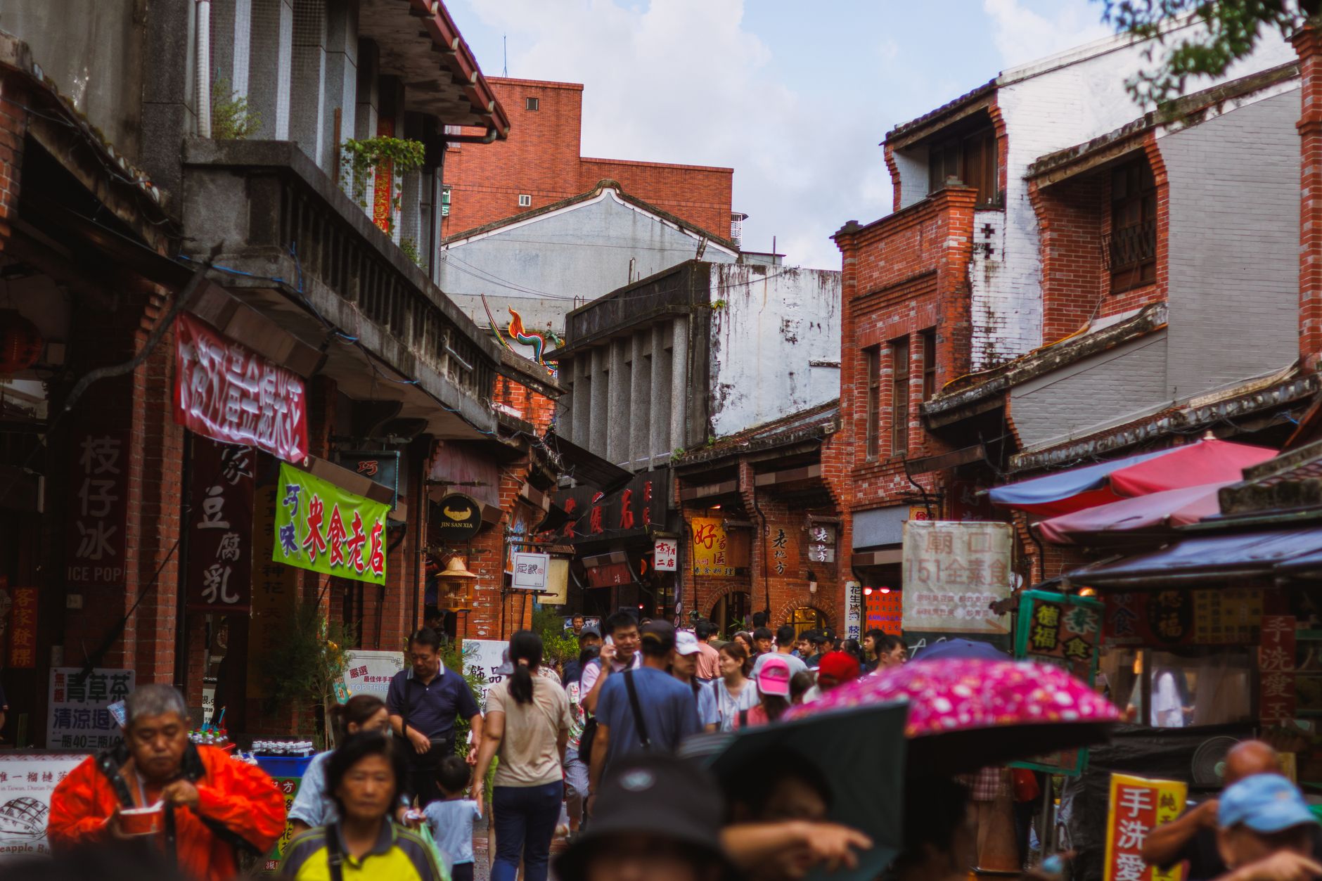
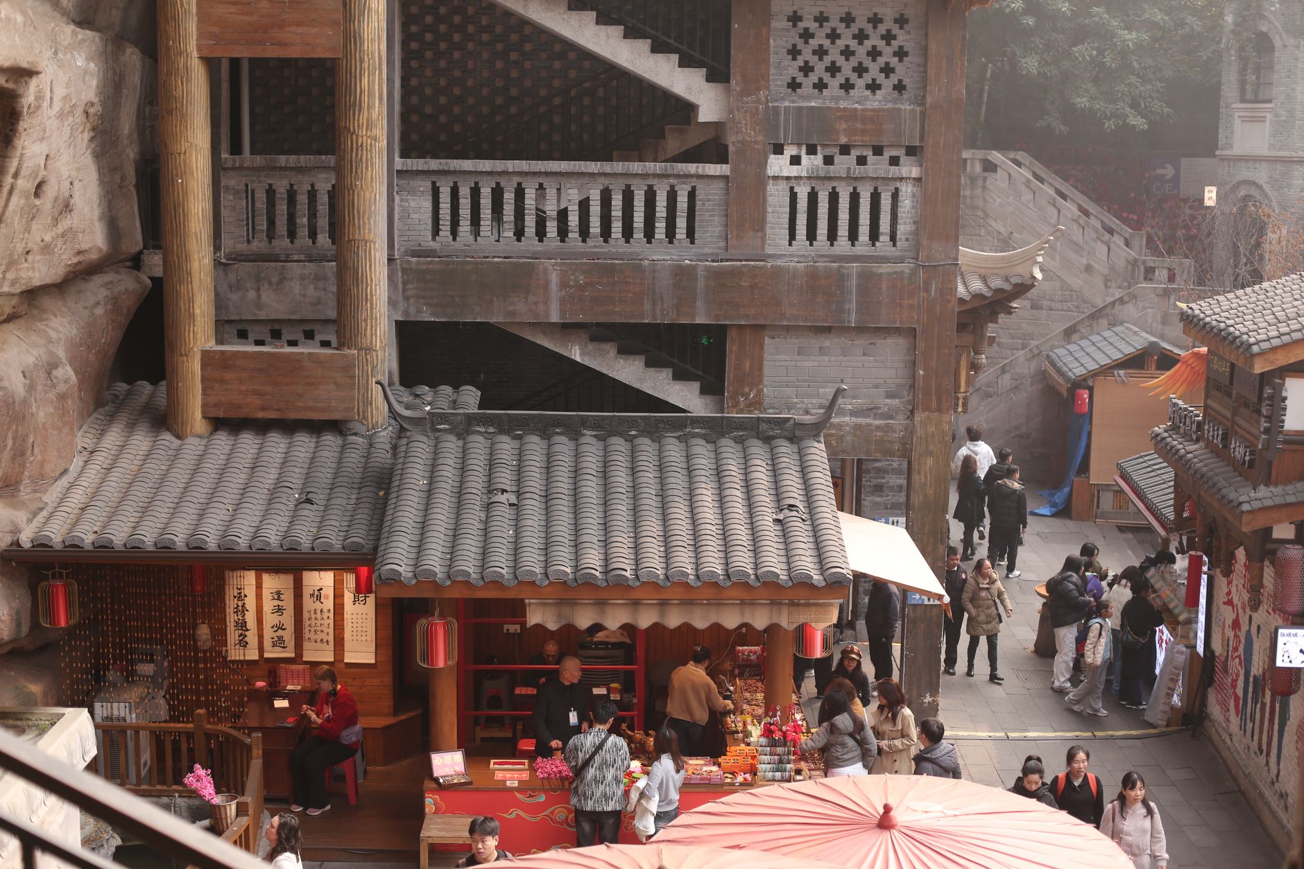
About 34 kilometres north of central Beijing, Changping District is where the city gradually gives up its density and lets the mountains have the last word. The southern end runs through university campuses and new residential towers; push further north and the landscape opens into forested ridges, old temple walls, and the long valley where thirteen Ming emperors were buried over the course of two centuries.
The Ming Tombs alone — the most complete imperial mausoleum complex anywhere in the world — would justify the trip. But Changping also holds the Juyongguan section of the Great Wall, the pagoda clusters at Yinshan, and Mt. Mangshan National Forest Park, Beijing's largest, spreading across more than 8,600 hectares of pine and oak.
💛 What travellers fall for
People who come back tend to time it for late October: the crowds thin, the temperature sits around 20°C in the day, and the valley around the Ming Tombs turns the particular amber that makes the stone spirit roads look like they belong to another century entirely. The Changping metro line drops you at a station literally called Ming Tombs — no navigation required.
Deals in Changping District
Book directly at the provider


How Changping District came to be
The territory that is now Changping has been administered under different names for roughly two millennia. During the Qin dynasty it was called Jundu; the Han reorganised it as Changping County, a name that has held, in various forms, ever since. The district's strategic importance sharpened in the Ming period: in 1506, during the Zhengde era, Changping was elevated to a zhou — a prefectural-level unit overseeing Huairou, Miyun, and Shunyi — because of its position guarding the capital's northern approaches.
Construction of the Ming Tombs began in 1409 and continued into the early Qing dynasty, more than 200 years of imperial burial in the same valley. After the Xinhai Revolution of 1911, Changping reverted to county status and was administered by Hebei Province until 1956, when it was transferred to Beijing. In 1999, the State Council formally abolished the county and established Changping District.
Who and what shaped it
Landmark buildings
See Changping District in motion
Plan your visit
On the map
When to go
Spring (April–May, around 15°C) is dry and clear, with winds that can be sharp but rarely cold enough to bother. Summer is hot and wet — July averages 33°C and brings roughly 200 millimetres of rain. Autumn, particularly October, is the steadiest season: cool days, minimal rain, and the kind of light that flatters stone monuments. Winter is cold and dry, with occasional snow in the northern reaches.
Right now
Background & history adapted from Wikipedia (CC BY-SA) · specs from Wikidata (CC0) · weather from Open-Meteo · map data © OpenStreetMap contributors · photos from Wikimedia Commons / Unsplash with per-image credit. No third-party reviews or social posts reproduced.