
Castleton
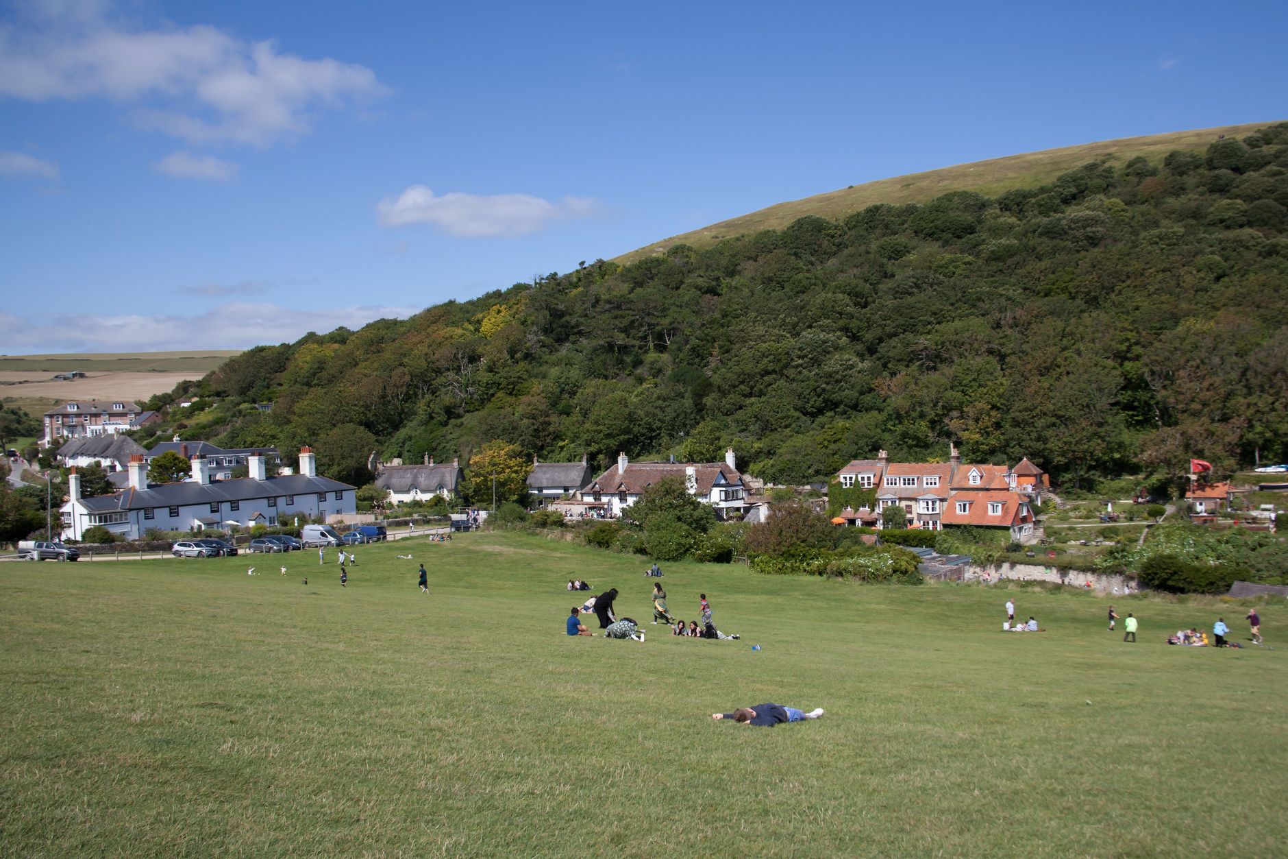
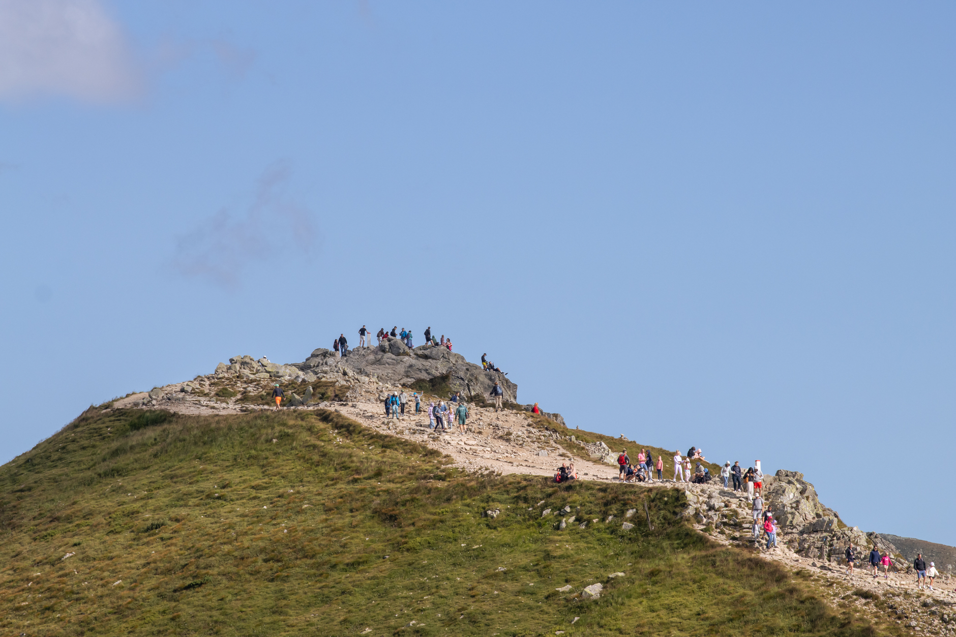
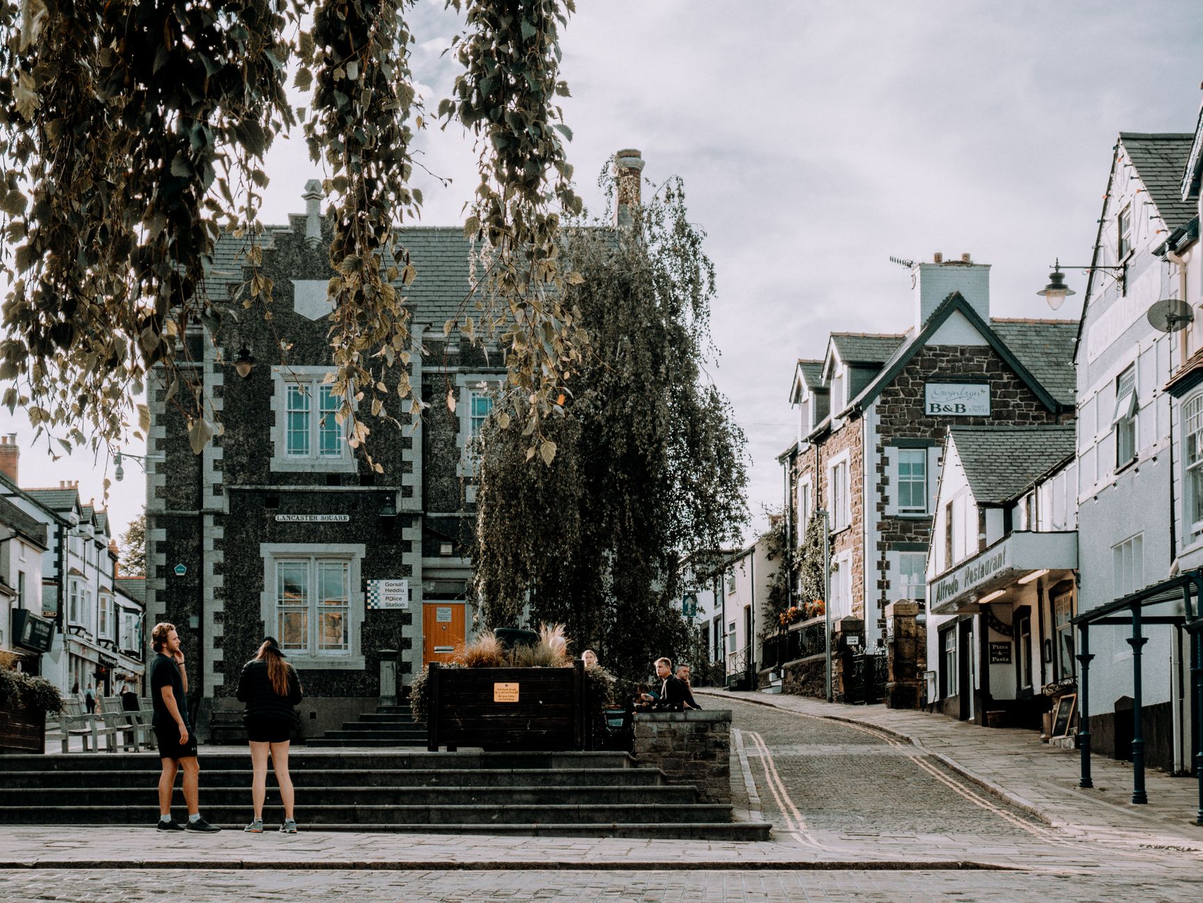
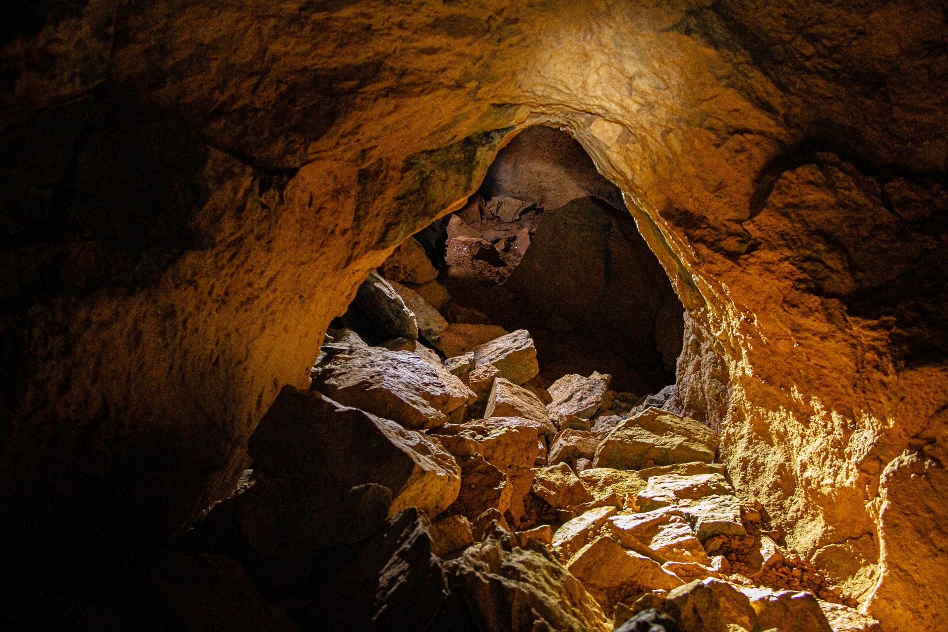
Castleton sits at the closed end of the Hope Valley, with Mam Tor's ridge pressing in from the west and four caves opening into the limestone beneath your feet. It's a village of 544 people that somehow contains more geology than most counties: eight of the fourteen known veins of Blue John stone run under the hills here, and the largest natural cave entrance in the British Isles is a short walk from the pub.
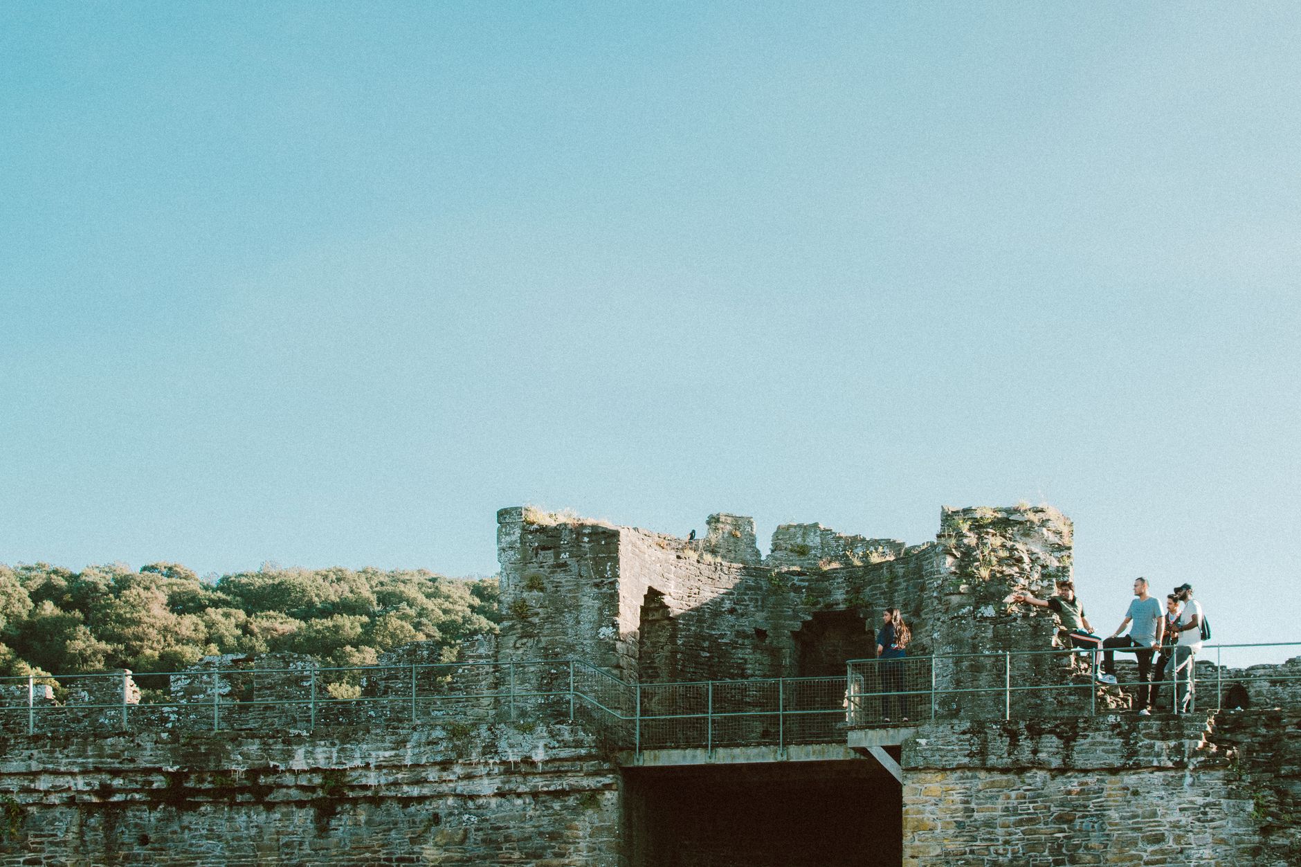
The place has been shaped by what lies underground. Lead drew the Romans, then medieval miners, then 17th-century operations whose pollution, studies suggest, reached levels comparable to the Industrial Revolution. Peveril Castle watches over it all from the ridge above, Norman stonework still intact after nine centuries.
💛 What travellers fall for
People who come back tend to catch Peak Cavern on a concert night — the acoustics in those chambers are unlike anything in a proper venue. They also learn quickly to arrive before 10am on summer weekends, when the single road through fills fast. The Winnats Pass walk in low autumn light is the one most regulars mention unprompted.
Experiences you don't want to miss


Deals in Castleton
Book directly at the provider


How Castleton came to be
Castleton's origins are Norman in name but older in fact. A Celtic hill fort stood on Mam Tor long before William Peveril — son of the Conqueror — raised his castle here in 1086, the same year the settlement appeared in Domesday Book as Pechesers. The castle was built not primarily for war (it never saw military action) but to house hunting parties in the Royal Forest of the Peak, and the village grew as a planned settlement around it.
By the 17th century, lead mining dominated daily life, and Castleton's mines contributed to a spike in European air pollution between roughly 1170 and 1216 that researchers have since measured in ice cores. In 1977, a major landslip on Mam Tor finally closed the A625 beneath it — the road remains broken, and the hill's fractured southern face is still visible from the valley floor.
Who and what shaped it
People who shaped it
Landmark buildings
See Castleton in motion
Plan your visit
On the map
When to go
Summers are mild but can turn wet quickly at this elevation — a layer is worth carrying even in July. Winter visits are quieter and often clear, though some cave opening hours are reduced from November through February.
Right now
Background & history adapted from Wikipedia (CC BY-SA) · specs from Wikidata (CC0) · weather from Open-Meteo · map data © OpenStreetMap contributors · photos from Wikimedia Commons / Unsplash with per-image credit. No third-party reviews or social posts reproduced.