
Campos dos Goytacazes
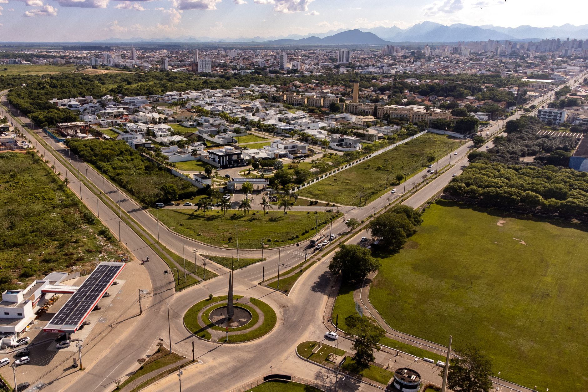
On June 24, 1883, Campos dos Goytacazes switched on electric street lights — the first city in Latin America to do so. That fact tends to catch people off guard, because Campos sits 286 kilometres north of Rio along the BR-101, far enough to feel like its own world: a flat, cane-country city with a skyline of eclectic-era facades and a cathedral anchoring the main square.
Today the city runs on oil royalties from the offshore Campos Basin rather than sugar, and that money is visible in the public buildings and the university that arrived in the 1990s. The centre is compact enough to walk, and the streets hold more architectural texture than most visitors expect.
💛 What travellers fall for
People who come back tend to mention the Praça Dr. Nilo Peçanha at dusk, when the Palácio Nilo Peçanha — that quietly absurd Parthenon lookalike — catches the last light. They also mention the Solar do Visconde de Araruama: go slowly through the sugar-cycle rooms, because the detail is worth it.
Experiences you don't want to miss




Deals in Campos dos Goytacazes
Book directly at the provider
How Campos dos Goytacazes came to be
Sugarcane shaped this corner of northern Rio de Janeiro state long before the city had a name. Cultivation took hold around the 1650s, and on May 29, 1677, the settlement was formally founded as São Salvador de Campos de Goytacazes under donatário Salvador Correia de Sá e Benevides. It became a city in 1835, and the 1873 railway connection — built primarily to move sugar — pulled it further into the Brazilian economy.
The electric-lighting milestone of 1883 was followed, in 1944, by an urban reconstruction plan drawn up by architect Donat-Alfred Agache, whose spatial logic still underlies the centre. Then came oil: the discovery of reserves in the Campos Basin transformed the city again, flooding it with royalty income and, in the 1990s, prompting the founding of the State University of Northern Fluminense (UENF).
Who and what shaped it
People who shaped it
Landmark buildings
See Campos dos Goytacazes in motion
Plan your visit
On the map
When to go
Campos has a tropical climate: hot and wet from November through March, cooler and noticeably drier from June to August. If you dislike heavy afternoon rain, the southern-hemisphere winter months give you the clearest skies for walking the historic centre.
Right now
Background & history adapted from Wikipedia (CC BY-SA) · specs from Wikidata (CC0) · weather from Open-Meteo · map data © OpenStreetMap contributors · photos from Wikimedia Commons / Unsplash with per-image credit. No third-party reviews or social posts reproduced.