
Cabo Frio
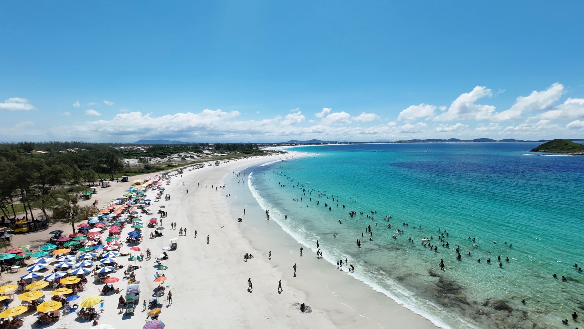
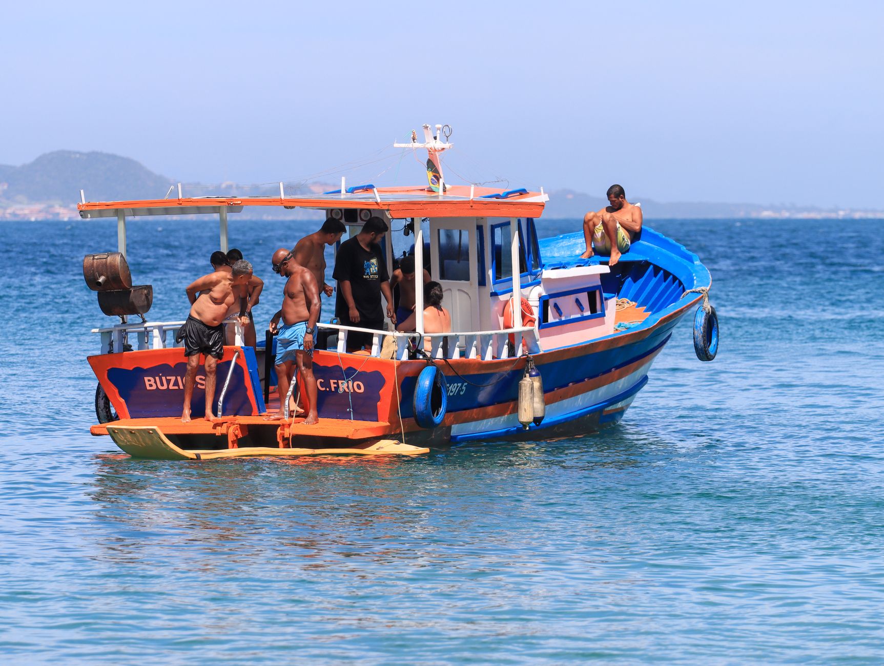
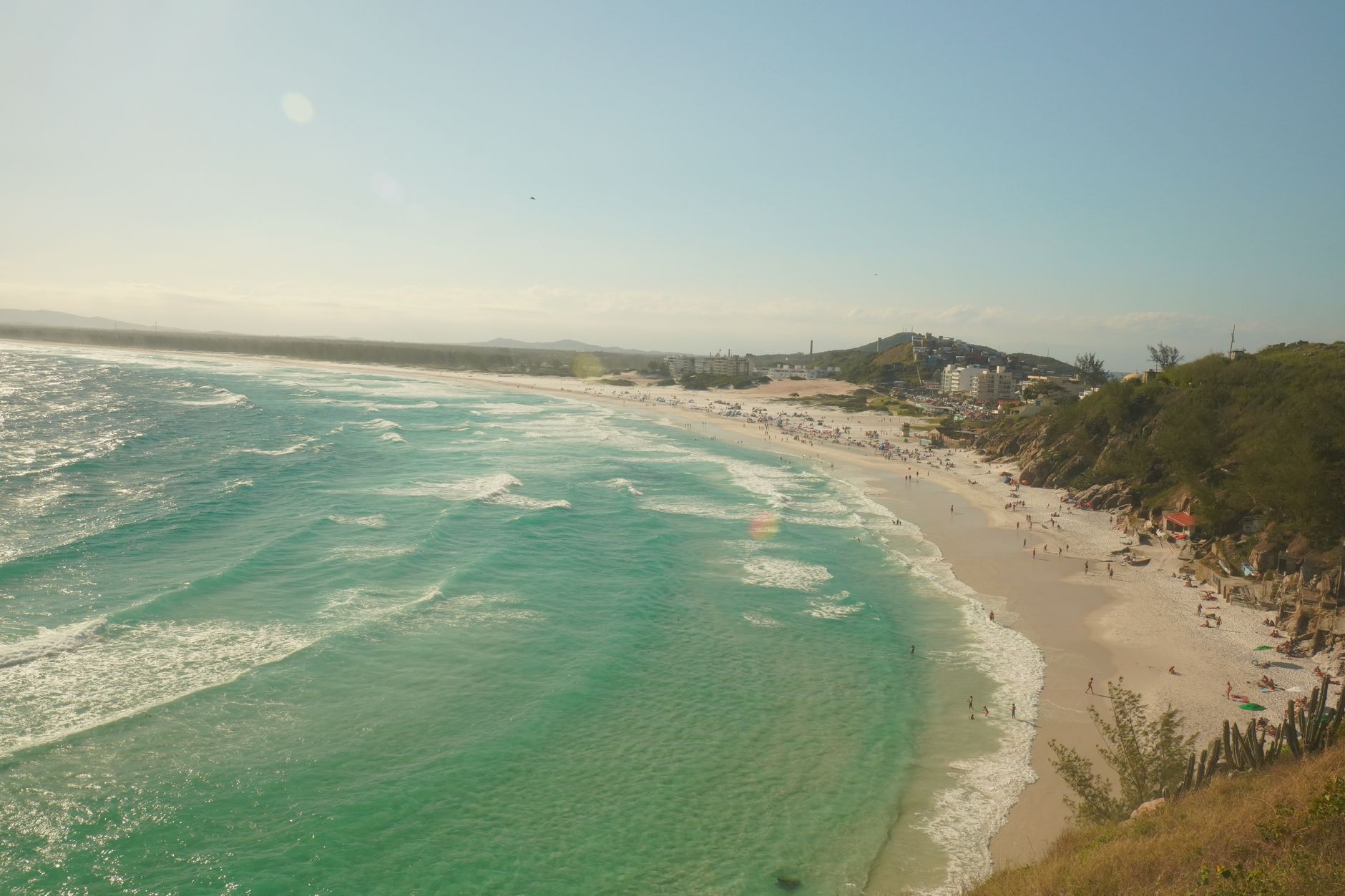
The name Cabo Frio — Cold Cape — comes from the currents. Amerigo Vespucci noted them when he rounded this headland in 1503, and the Atlantic still runs cold enough here that the water temperature can drop to 15°C even in summer, which is part of why the diving is so good. Two currents meet offshore, one warm and one cold, and the marine life gathers at the seam.
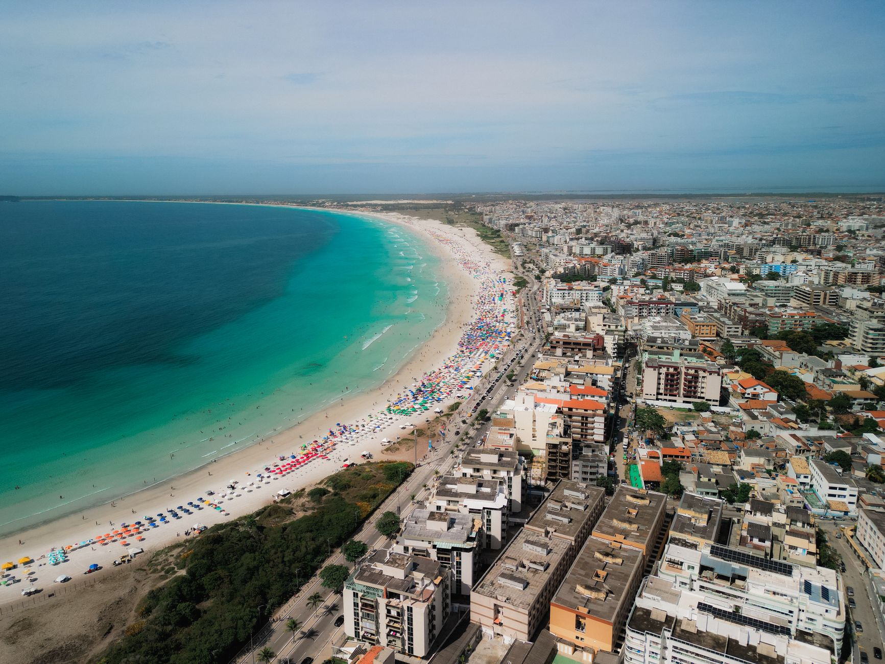
On land, the city organises itself around salt and sand. The Araruama Lagoon behind town is one of the largest hypersaline bodies of water on earth — twice the salinity of the ocean — and for most of Cabo Frio's history, extracting that salt was the whole point of being here. The beaches came later, as did the Argentines, who now make up more than half of all foreign visitors.
💛 What travellers fall for
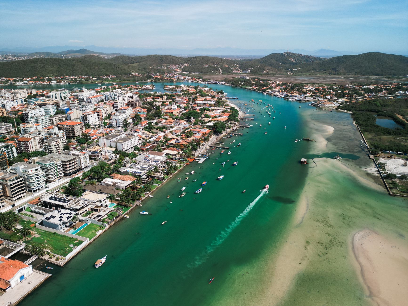
People who come back tend to land in Bairro da Passagem in the late afternoon, when the light hits the whitewashed colonial walls along the Itajuru Canal and the bars start filling up. The canal connects the lagoon to the Atlantic, and watching the small boats move through it while you drink something cold is a reliable way to lose an hour.
Experiences you don't want to miss


Deals in Cabo Frio
Book directly at the provider

How Cabo Frio came to be
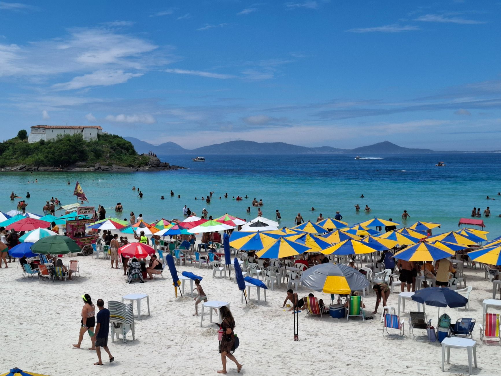
Vespucci's 1503 landfall put Cabo Frio on European maps, and the cape spent the following century as contested territory — a base for French traders and pirates before the Portuguese moved decisively to claim it. On November 13, 1615 (some sources say 1616), they founded a formal settlement here. Within a few years, between 1616 and 1620, they built Forte São Mateus at the northern end of what is now Praia do Forte, a stone and limestone structure with seven cannons that still stands.
For most of the next three centuries, Cabo Frio remained small and strategically peripheral. Its real economic identity came from the Araruama Lagoon: through the 19th and into the early 20th century, salt extracted from its hypersaline waters made the city the primary supplier for all of Brazil. Tourism arrived in the 1960s and has since become the dominant industry, though the salt geography — the lagoon, the canal, the cold currents — still shapes the place.
Who and what shaped it
Landmark buildings
See Cabo Frio in motion
Plan your visit
On the map
When to go
Summers (December to March) are hot and wet, with January and February averaging around 28°C and up to 17 rainy days per month. The drier window runs June through September, when temperatures ease to the low-to-mid 20s and rainfall can drop as low as 33 mm — that stretch, particularly May through October, is when the weather is most reliably on your side.
Right now
Background & history adapted from Wikipedia (CC BY-SA) · specs from Wikidata (CC0) · weather from Open-Meteo · map data © OpenStreetMap contributors · photos from Wikimedia Commons / Unsplash with per-image credit. No third-party reviews or social posts reproduced.