
Bundaberg



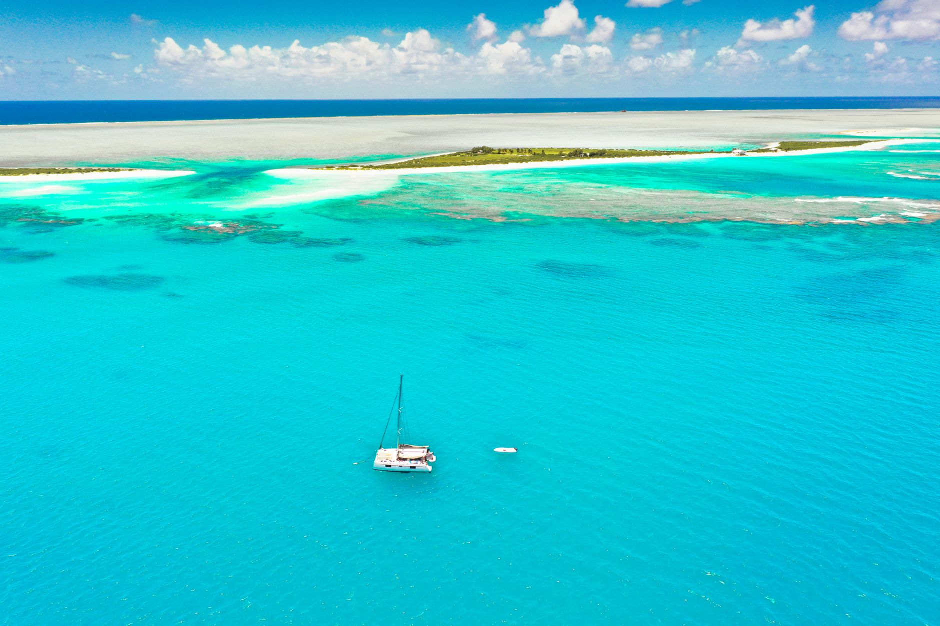
Bundaberg is where the cane fields meet the coast and the rum has been running since 1888. The city sits at the southern edge of Queensland's reef country, close enough to Lady Musgrave Island that you can catch a ferry there in the morning and be back for dinner. Wide streets — laid out in uniform square blocks by surveyor John Thompson Charlton in 1868 — still give the place a certain unhurried logic, and the older buildings along Bourbong Street wear their late-Victorian ironwork with quiet confidence.
This is a working city with deep roots: timber, sugar, aviation history, and one of Australia's most recognisable distilleries. The heritage walk connects twelve buildings in a compact loop, the rum museum pours samples at the end of a self-guided tour, and a short flight from the local airport puts you over the coral of Lady Elliot Island.
💛 What travellers fall for
Regulars tend to time a visit around the distillery's self-guided morning tour, finished before the day heats up. The School of Arts building on Bourbong Street stops most people mid-stride — the ironwork balustrades are genuinely fine. And anyone who's done the Lady Musgrave ferry says an early departure and a packed lunch is the only way to do it.
Experiences you don't want to miss




Deals in Bundaberg
Book directly at the provider


How Bundaberg came to be
Three men — John and Gavin Steuart and Lachlan Tripp — arrived as timbergetters in 1867 and set the place in motion. Within a year Samuel Johnston had a sawmill running at Waterview, and surveyor Charlton had drawn up the grid of wide streets that still defines the city centre. Sugar followed in the 1870s, shaping both the economy and the landscape of the surrounding region.
The rum distillery opened in 1888, the same year the School of Arts building went up on Bourbong Street — the oldest public building still standing in Bundaberg. The town became a municipality in 1881 and was gazetted a city in 1913. Floods have marked the modern era hard: December 2010 was the worst in sixty years, then January 2013, driven by Cyclone Oswald, surpassed every recorded event before it.
Who and what shaped it
People who shaped it
Landmark buildings
See Bundaberg in motion
Plan your visit
On the map
When to go
Summers are hot and wet — January sits around 30°C and February brings the heaviest rain, averaging 159 mm across thirteen days. Winter months, particularly May through August, are dry and mild, with July averaging around 22°C: the easiest time to be outside.
Right now
Background & history adapted from Wikipedia (CC BY-SA) · specs from Wikidata (CC0) · weather from Open-Meteo · map data © OpenStreetMap contributors · photos from Wikimedia Commons / Unsplash with per-image credit. No third-party reviews or social posts reproduced.