



My 97 year old mother is a patient there. It's a small Rehabilitation and health center. It is very clean with all the necessary equipment and physical therapists to restore health for patients with all abilities. All of the staff we have met, have been very caring, kind and patient. From the cleaning crew who are cleaning and mopping endlessly to the Nurses, their assistants, physical therapists and business staff. if all the facilities we checked in the area, this one seems to have the best staff to patient ratio, which translates to quicker service and above average recovery and discharge. It maybe small with mostly shared rooms with just a few private rooms, but it is very homey and comfortable. The other reason we chose this facility over the other more modern ones,was because the staff themselves seemed happier and we encountered more smiles, which has contributed to happier patients. It is located in a residential neighborhood so the visitor parking is limited and only street parking is available at certain times and on certain days. There is a pleasant outdoor courtyard where patients can sit with their loved ones and visitors for as long as they like. The food although health conscious and nutritious and made according to patient's diet restrictions, can be much better, but most patients we met, either order food for delivery from the many available eateries around, or their families and visitors bring food. All in all we are happy we chose this facility over others. Mostly covered by Medicare or Private insurance, however there is an out of pocket surcharge for a Private room when available.
Brentwood
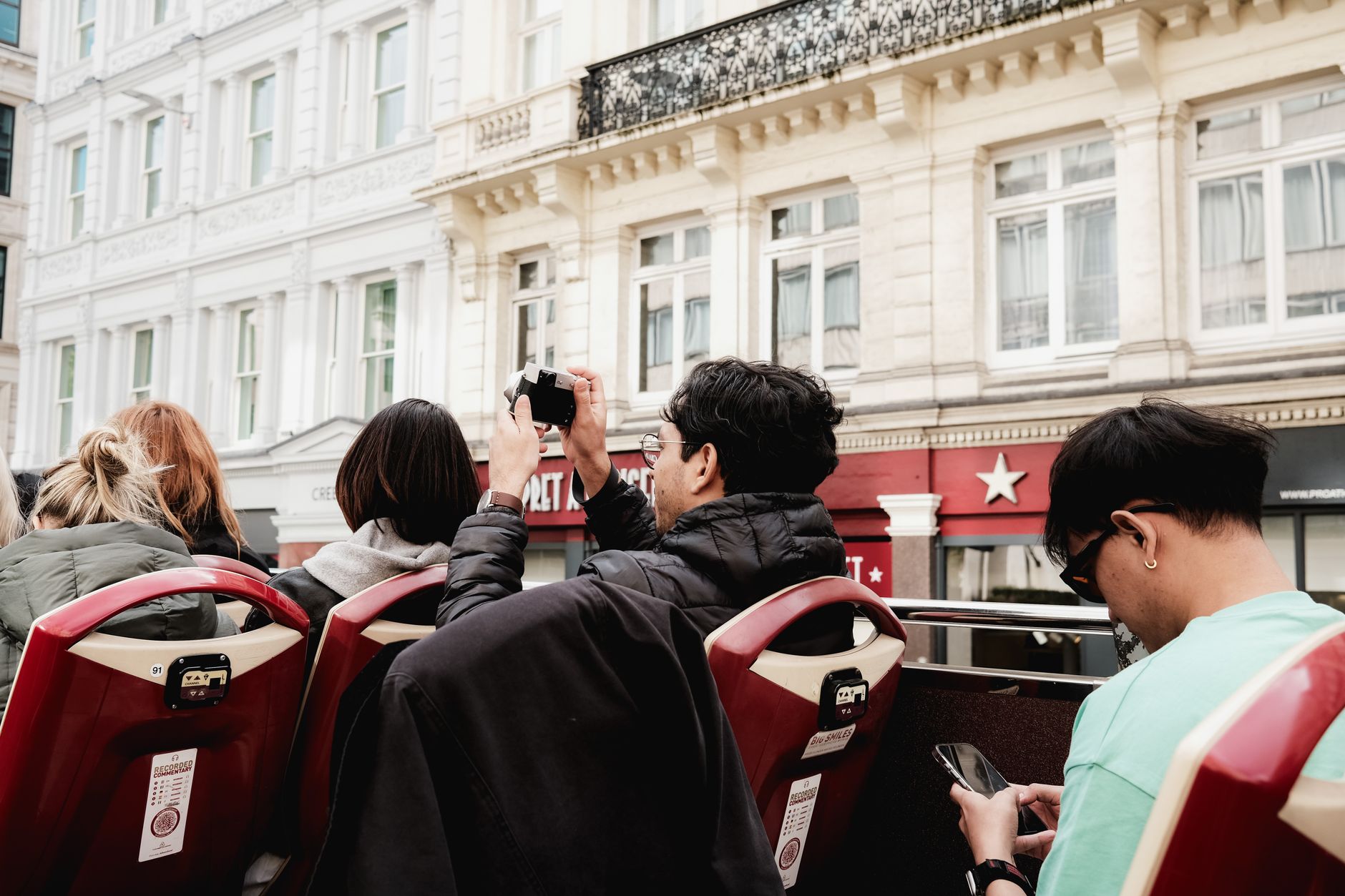

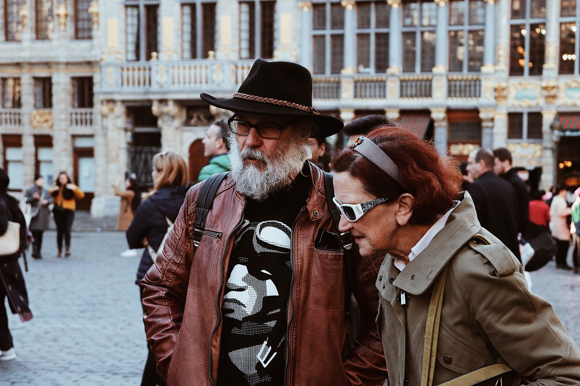
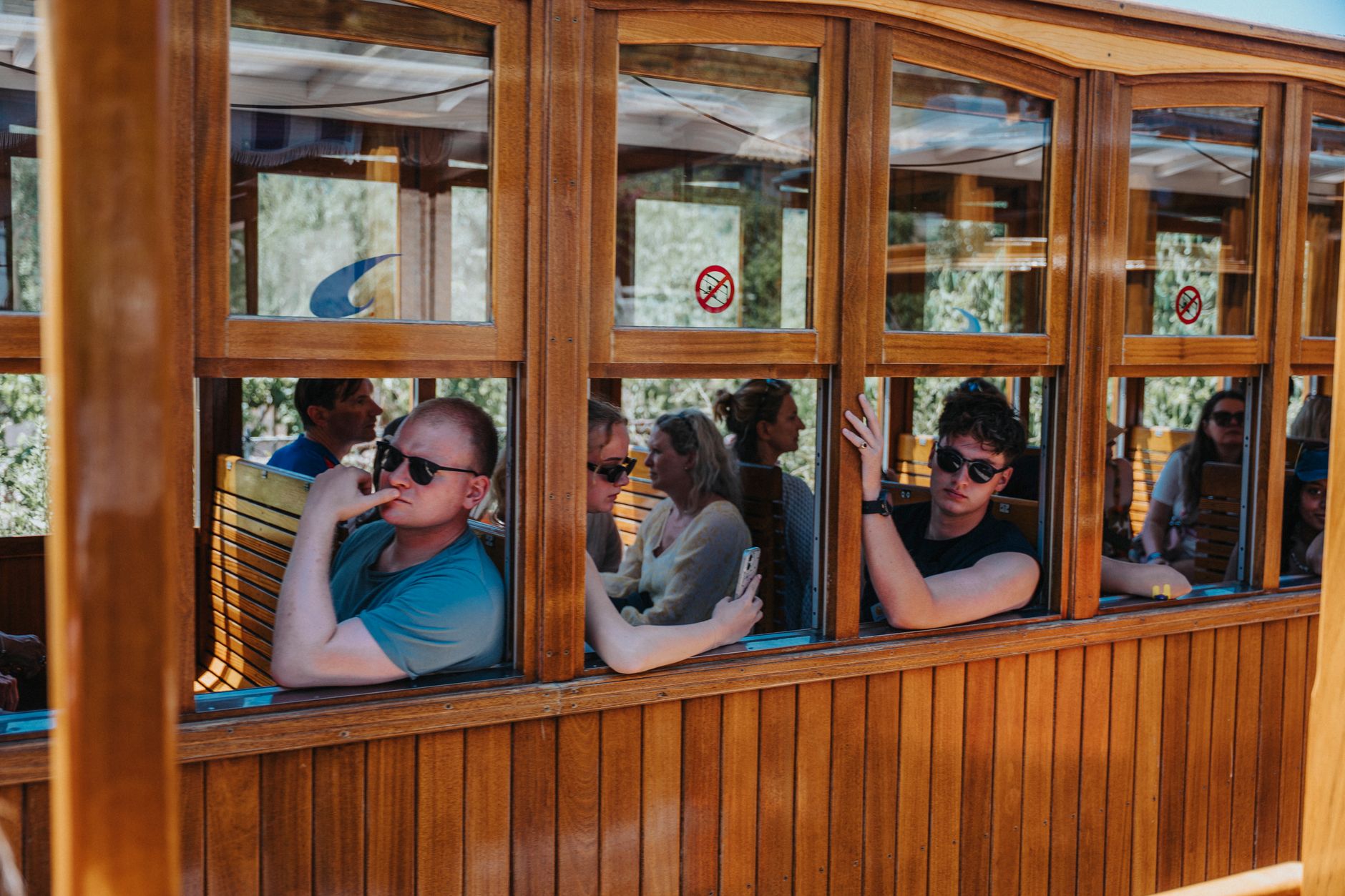

San Vicente Boulevard gives Brentwood away before you've parked the car. The wide median runs for blocks under a canopy of coral trees — their trunks thick and salt-bleached, their branches reaching across both lanes — and the whole street moves at a pace that feels deliberately unhurried. This is the Westside at its most residential: wide lots, mature trees, ranch houses behind hedges, and the Getty Center sitting high on a ridge above it all like a civic monument that actually earned its place.
Brentwood occupies a strip of the Santa Monica Mountains' southern foothills between the 405 and the ocean air that drifts in from Santa Monica. It is quieter than its neighbors and more self-contained, built around a country mart rather than a strip mall, with the kind of streets where people actually walk.
💛 What travellers fall for
Regulars tend to anchor their mornings at the Brentwood Country Mart — coffee, a bench in the courtyard, the wooden barn buildings doing their usual low-key thing. From there, the coral tree median on San Vicente makes a good long walk before the heat sets in. Save Mandeville Canyon for late afternoon, when the light comes in sideways.
Experiences you don't want to miss
Deals in Brentwood
Book directly at the providerHow Brentwood came to be
Brentwood's origins are bound up with the Pacific Branch of the National Home for Disabled Soldiers and Sailors, a 600-acre facility established in the 1880s. A small community grew up outside its west gate and took the name Westgate. The area was annexed by the City of Los Angeles on June 14, 1916, and over the following decades the district reorganized itself around Brentwood Park, developed in 1906, whose wide streets and planted trees set the template for the neighborhood's character.
The Brentwood Country Mart opened in November 1948, designed by Rowland Crawford with a cluster of wooden barn-like buildings around an open courtyard — conceived as a Westside answer to the Farmer's Market at Third and Fairfax. The coral trees along San Vicente replaced a Pacific Electric trolley track and have since been designated a Los Angeles Historic-Cultural Monument, a quiet reminder that the neighborhood's most defining feature was once infrastructure.
Who and what shaped it
People who shaped it
Landmark buildings
See Brentwood in motion
Plan your visit
On the map
When to go
Summers run hot and dry, with July highs averaging around 88°F — mornings are the time to be outside. Winters are short and mild with occasional rain, January being both the coolest and wettest month, though temperatures rarely drop below freezing.
Right now
What travellers say about Brentwood
Caring CNAs. Fatima is excellent. Brenda performed a difficult procedure with ease. Farnoush Head of PT is accommodating to patients needs. Lovely courtyard for patients and families to sit out in. I would name them all. But I do not know everyone’s names. Mitch, Head of Nursing. Carla Medicine distributor. Jerry, OT. Connor PT. Lovely. Ian PT. Luna a CNA, v young but gentle and everyone speaks English which is key to explain what’s happening to patients who are non Spanish speaking.
Very impressed with Brentwood Care Center. I've seen a lot of nursing care facilities and this one is the only one that attends to each patient with great care, great therapy and good food (I didn't eat any but he ate all of every meal and liked it). They make sure everyone is out of bed and clean every day. They clearly have a much better staff/patient ratio than any other care center I have seen!
This is by far the best rehab we’ve been to. My husband has cancer and sadly, we’ve been to quite a few. The staff is upbeat and pleasant while still taking his condition seriously. It’s the first one I’ve had zero concerns about his care and attention to his needs when I’m not here. The food is by far the best we’ve had anywhere. They allow outside food but the need hasn’t been there. It’s clean and well maintained. The therapy and attitude of the therapists has been stellar! I highly recommend.
My brother in law was moved to you Friday night. I was in Brentwood Health Care Center, two years ago. When we visited him on Saturday he was in the same room, same bed easy to find. The staff were so patient with him despite having to be firm and explain to us the serious situation. Thank you
Background & history adapted from Wikipedia (CC BY-SA) · specs from Wikidata (CC0) · weather from Open-Meteo · map data © OpenStreetMap contributors · photos from Wikimedia Commons / Unsplash with per-image credit. No third-party reviews or social posts reproduced.