
Brantôme
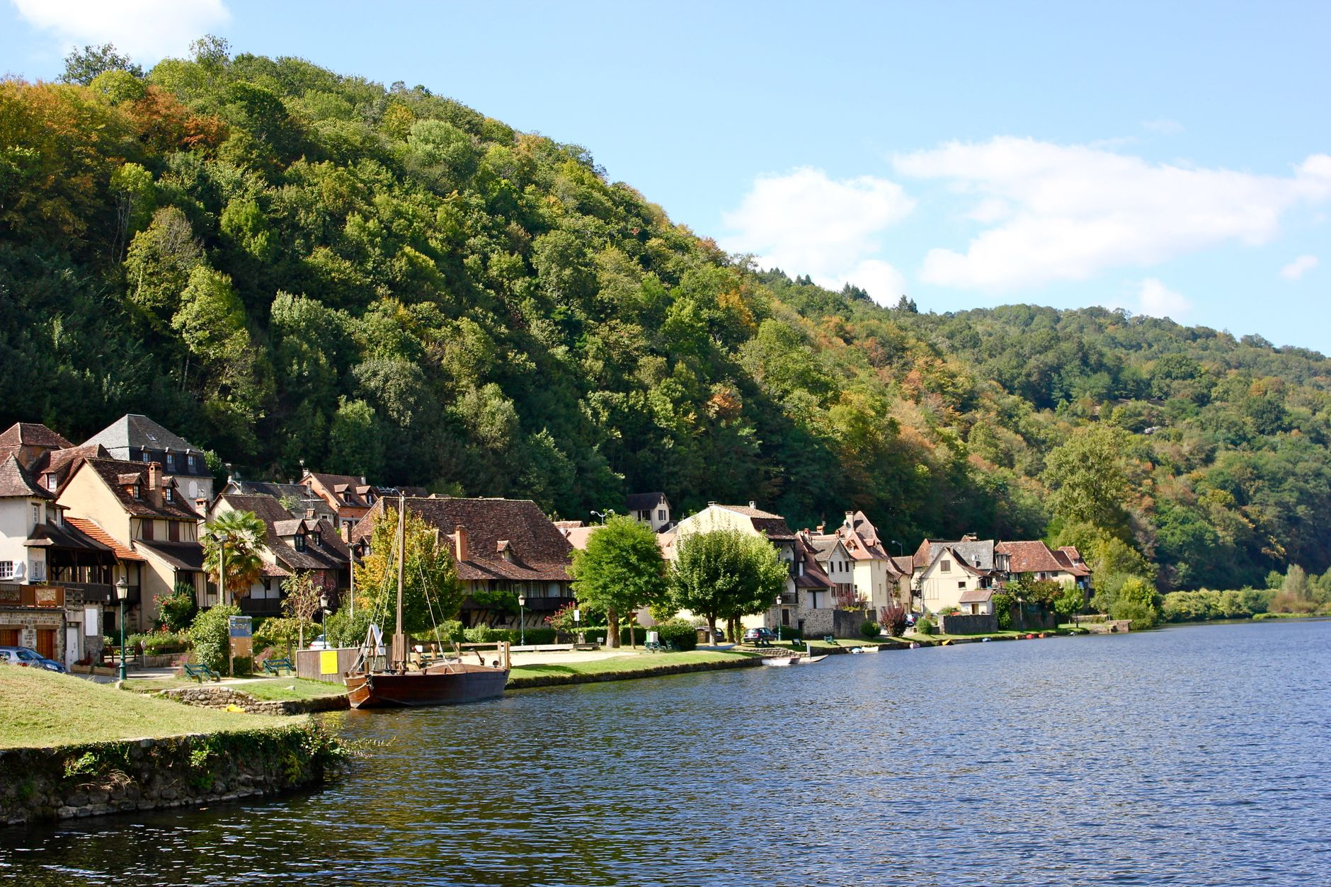
Brantôme sits on an almost-island, the river Dronne looping around it on three sides, and the first thing you notice is that the abbey isn't quite where you'd expect it to be — its 11th-century bell tower rises not from the church roof but from a twelve-metre rock ledge beside it, a campanile balanced on stone as though the builders ran out of flat ground and improvised brilliantly.
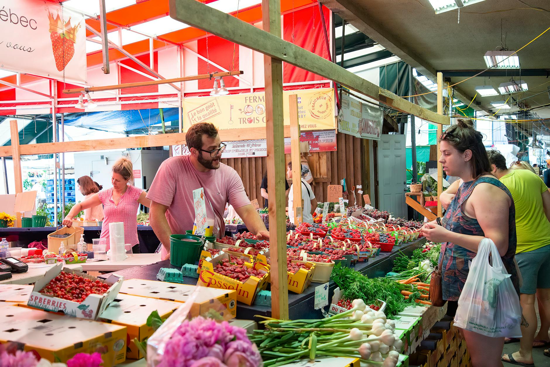
Behind the abbey, the cliff face opens into troglodyte caves where medieval hands carved a Last Judgement into the rock. Friday is market day, and in winter the stalls turn to black truffles. The town takes about two hours to walk properly, which is exactly the right amount.
💛 What travellers fall for
People who come back tend to time it for a Friday in late September — the summer crowds have thinned, the produce market is still running, and the guided bell tower tour (capped at eighteen people) is actually bookable without planning weeks ahead. The combined abbey ticket covering the caves and the clocher is worth it; doing them separately costs more.
Experiences you don't want to miss



Deals in Brantôme
Book directly at the provider

How Brantôme came to be
Charlemagne founded the abbey here in 769, though monks had been carving shelters into the Dronne cliffs since the 5th century. Vikings raided it twice in the 840s and 850s, and the Hundred Years' War left enough damage to require rebuilding in 1465 and again in 1480. The abbey survived revolution by ceasing to function as one.
Its most colourful abbot was Pierre de Bourdeille, a 16th-century figure so associated with the town that he simply took its name — Brantôme — as his own. He reportedly deflected a Huguenot attack by inviting the raiders to dinner. Paul Abadie, the architect later responsible for Sacré-Cœur in Paris, restored the church in the 19th century, the same decade it was listed as a historic monument.
Who and what shaped it
People who shaped it
Landmark buildings
See Brantôme in motion
Plan your visit
On the map
When to go
May, June, and September sit in a sweet spot — temperatures between 20 and 26°C, enough sun to read by the river, not enough heat to make the caves feel like relief rather than curiosity. November is the wettest month and December offers barely two and a half hours of daylight, though truffle season runs through February for those willing to trade sunshine for better markets.
Right now
Background & history adapted from Wikipedia (CC BY-SA) · specs from Wikidata (CC0) · weather from Open-Meteo · map data © OpenStreetMap contributors · photos from Wikimedia Commons / Unsplash with per-image credit. No third-party reviews or social posts reproduced.