
Borivali
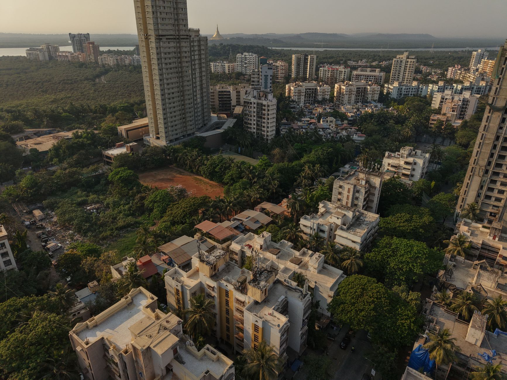
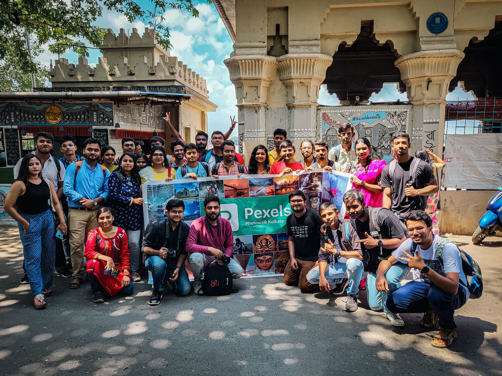
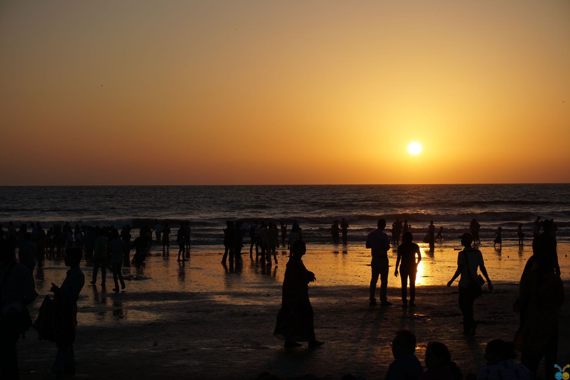
At the northern edge of Mumbai's western suburban line, Borivali is the city's only neighbourhood flanked by forest on one side and mangroves on the other. Step off the platform at one of Mumbai's busiest stations and within ten minutes you're at the gate of Sanjay Gandhi National Park — 103 square kilometres of leopard country, ancient caves and monsoon waterfalls that somehow share a boundary with apartment blocks and autorickshaws.
The name comes from the bor tree, the Indian jujube, and the place still earns it. Gardens appear at nearly every block. The Dahisar and Poisur rivers thread through the suburb. Old gaothans — village cores like Vazira, Eksar and Shimpoli — sit quietly inside what is otherwise a dense commuter city.
💛 What travellers fall for
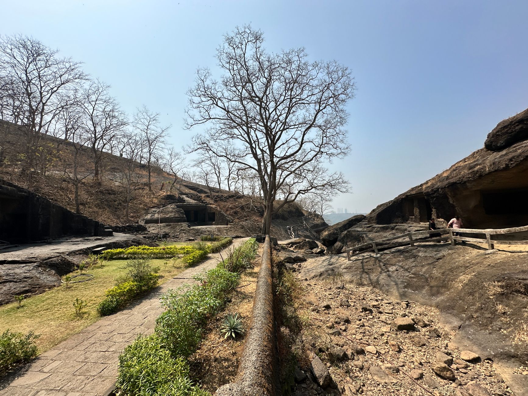
People who keep coming back tend to arrive early for the Kanheri Caves — before the tour groups, when the light is still low and the rock-cut chambers feel genuinely old. They take the Metro 7 Red Line to Rashtriya Udyan rather than walking from Borivali station, and they time a monsoon visit to catch the Yeoor Waterfall at full flow.
Experiences you don't want to miss


Deals in Borivali
Book directly at the provider

How Borivali came to be
The settlement's name appears in the Mahikavatichi Bakhar, a Marathi chronicle from the 15th to 17th centuries, suggesting a place already old when the British arrived. Early records from 1865 list the station variously as 'Berewla', 'Berewlee' and 'Dysur' — the colonial ear struggling with local sound. When the railway extension reached Borivali in 1867, Parsi and Gujarati traders followed, and the cluster of smaller settlements — Eksar, Poisar, Vazira, Mandpeshwar and others arranged around Mount Poinsur — began to cohere into something larger.
The deeper history is older still. The Kanheri Caves date to the 1st century BCE, carved into the basalt hillside as a Buddhist centre of learning on the route between Sopara and Kalyan. The 8th-century Mandapeshwar Caves, a Hindu rock-cut shrine to Shiva near IC Colony, layer another era on top. The national park that now surrounds them was established in 1969, drawing more than two million visitors a year.
Who and what shaped it
Landmark buildings
See Borivali in motion
Plan your visit
On the map
When to go
October through February is the comfortable window — temperatures sit between 18 and 25°C and the park is at its most walkable. The monsoon (mid-June to September) brings heavy rain and a genuinely green forest, with the Yeoor Waterfall worth seeing if you don't mind wet shoes.
Right now
Background & history adapted from Wikipedia (CC BY-SA) · specs from Wikidata (CC0) · weather from Open-Meteo · map data © OpenStreetMap contributors · photos from Wikimedia Commons / Unsplash with per-image credit. No third-party reviews or social posts reproduced.