
Bevagna
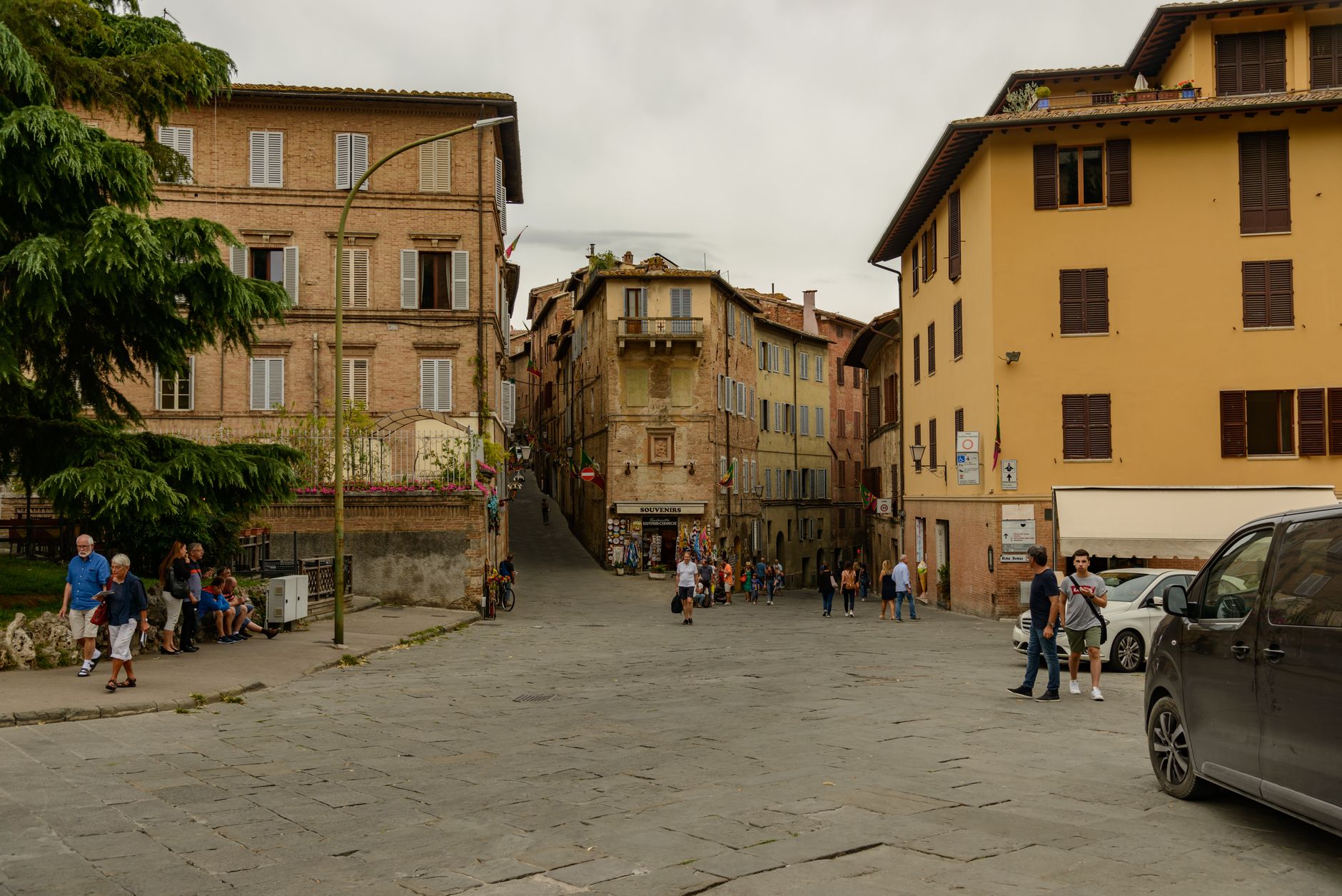
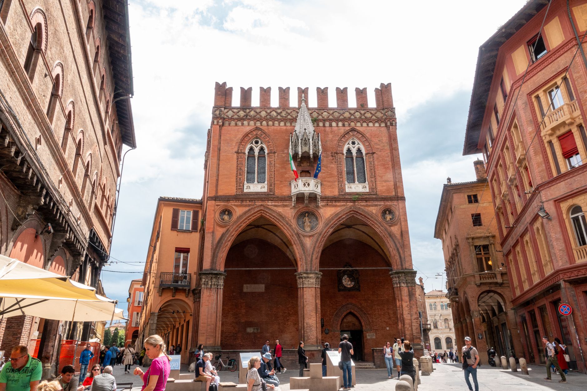
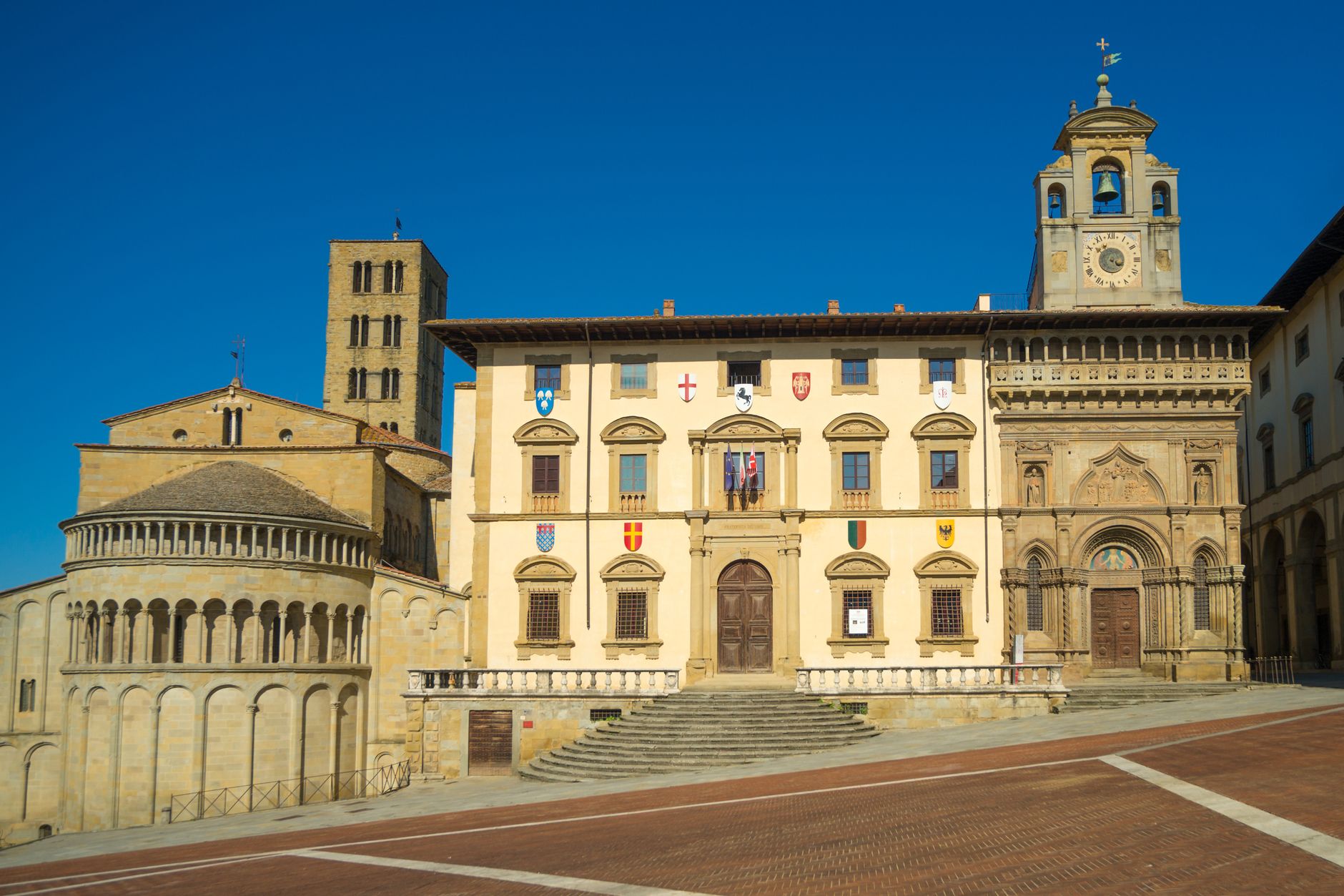
Stand in Piazza Silvestri on a quiet morning and you'll find two Romanesque churches facing each other across the same medieval square — San Silvestro, dated precisely to 1195 by the mason Binello who signed his work, and San Michele Arcangelo, raised by Binello and his collaborator Rodolfo. The fountain between them went in on August 23, 1896. Nothing here feels hurried.
Bevagna sits in the Topino valley, a small, roughly oval town about 600 metres end to end, flat enough to walk without effort. The Roman street grid still underlies the medieval one, and beneath a palazzo you can descend to Hadrianic mosaic floors tiled with tritons, dolphins and lobsters — the remains of public baths from a time when the river here was navigable and boats came and went.
💛 What travellers fall for
People who come back tend to mention the same thing: book the Bevagna Cultura ticket in advance and ask for the full guided sequence — Roman baths, the old river-port building, the Teatro Torti inside the Palazzo dei Consoli. Doing it on your own, you'd walk past half of it without knowing what you were missing.
Experiences you don't want to miss


Deals in Bevagna
Book directly at the provider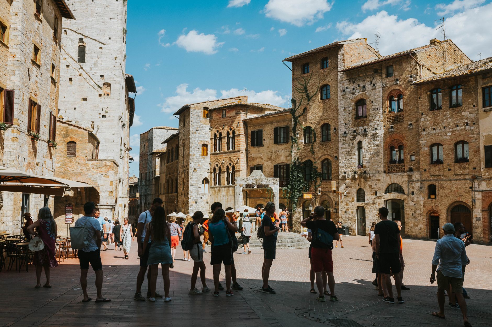


How Bevagna came to be
The territory was Umbrian by the 7th century BC and probably Etruscan before that — the name may trace back to an Etruscan noble, Mefana. Rome absorbed it as Mevania in 295 BC, and by 90 BC it was a full Roman municipality, its position on the navigable Topino making it a working river port. The diocese was founded in 487 AD; local legend names St Vincent, martyred in 303, as its first bishop.
Medieval Bevagna organised itself into a commune by 1187, appointing four Consuls, and spent the following century rebuilding — the Palazzo dei Consoli was finished in 1270. The Trinci lords took control in 1371; by 1439 the town had passed to the Papal States, where it remained, Napoleon aside, until Italian Unification in 1860.
Who and what shaped it
People who shaped it
Landmark buildings
See Bevagna in motion
Plan your visit
On the map
When to go
Summers run hot, often reaching the high 80s Fahrenheit, with mostly clear skies — good for the square but worth planning around the midday heat. Winters are cold and partly cloudy, sometimes dropping close to freezing, so spring and early autumn give you the most comfortable walking weather.
Right now
Background & history adapted from Wikipedia (CC BY-SA) · specs from Wikidata (CC0) · weather from Open-Meteo · map data © OpenStreetMap contributors · photos from Wikimedia Commons / Unsplash with per-image credit. No third-party reviews or social posts reproduced.