
Bauru
Bauru is a city that runs on two things: trains and a sandwich. The sandwich — roast beef, melted cheese, tomato, pickles, packed into a French roll — was invented here in 1934 by Casimiro Pinto Neto, and Brazilians across the country now order a "bauru" without knowing it carries the name of a city in the interior of São Paulo state.
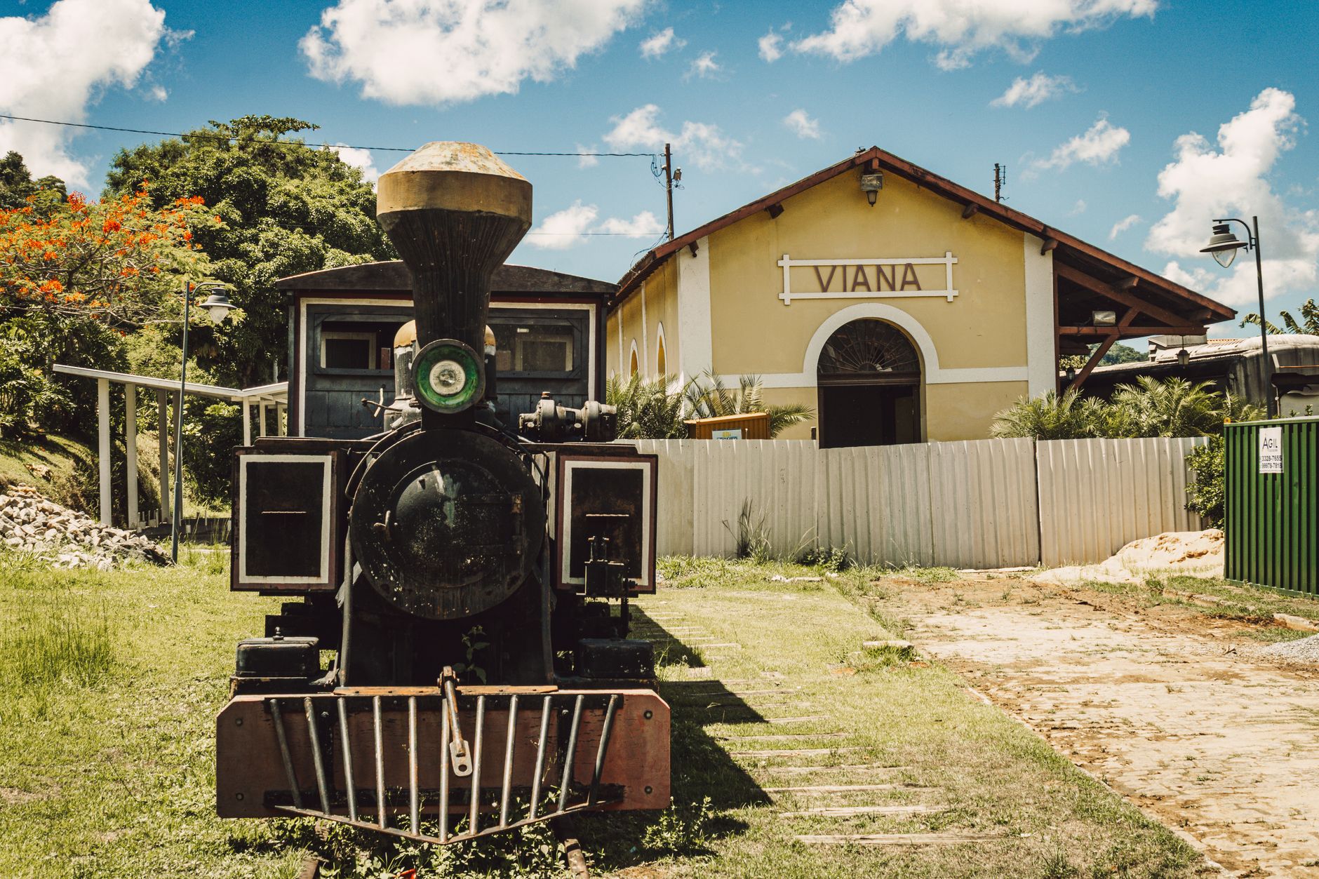
The trains made the city. By 1910, two railway lines crossed here — the Sorocabana and the Noroeste do Brasil — turning Bauru into the junction that connected the Atlantic coast to the Bolivian border. The grid of the city still follows those tracks, and the Art Deco station built in 1934 anchors the downtown like a stone promise that this place once mattered enormously to the movement of an entire country.
💛 What travellers fall for
People who come back tend to head straight to the Estação NOB before anything else — the railway station rewards a slow walk around its exterior. Then lunch at a place that takes the sandwich seriously, because the cheese-to-beef ratio is a matter of local pride. The Vitória Régia Park is worth the detour for the amphitheater alone, which floats above the lake in a way that photographs badly but feels strange and good in person.
Experiences you don't want to miss



Deals in Bauru
Book directly at the provider


How Bauru came to be
The land around present-day Bauru was Kaingang and Guarani territory until the mid-19th century, when a farmer from Minas Gerais named Felicíssimo Antônio Pereira established Fazenda das Flores there in 1856. A settlement called São Sebastião do Bauru grew from a subdivision of that estate in 1884, and the municipality of Bauru was formally separated and named on August 1, 1896.
What transformed it from a modest interior town into a regional capital was steel and steam. The Sorocabana railway arrived in 1905, and the Noroeste do Brasil line opened in 1910, making Bauru the strategic junction — the entroncamento — linking coastal Brazil to the deep interior and eventually the Bolivian frontier. Coffee money and waves of European and Japanese immigrants followed, shaping the city's urban fabric around those tracks. Getúlio Vargas's "March to the West" policy later deepened Bauru's role as a gateway, and a young Pelé grew up here playing football in its streets before the world knew his name.
Who and what shaped it
People who shaped it
Landmark buildings
See Bauru in motion
Plan your visit
On the map
When to go
The dry season from May through August brings cooler nights — July can drop to around 14°C — and far less rain, making it the most comfortable time to be outside. The wet season from November through March is hot and heavy, with January delivering over 250mm of rainfall and frequent afternoon storms that clear quickly but drench thoroughly.
Right now
Background & history adapted from Wikipedia (CC BY-SA) · specs from Wikidata (CC0) · weather from Open-Meteo · map data © OpenStreetMap contributors · photos from Wikimedia Commons / Unsplash with per-image credit. No third-party reviews or social posts reproduced.