
Barrio del Carmen
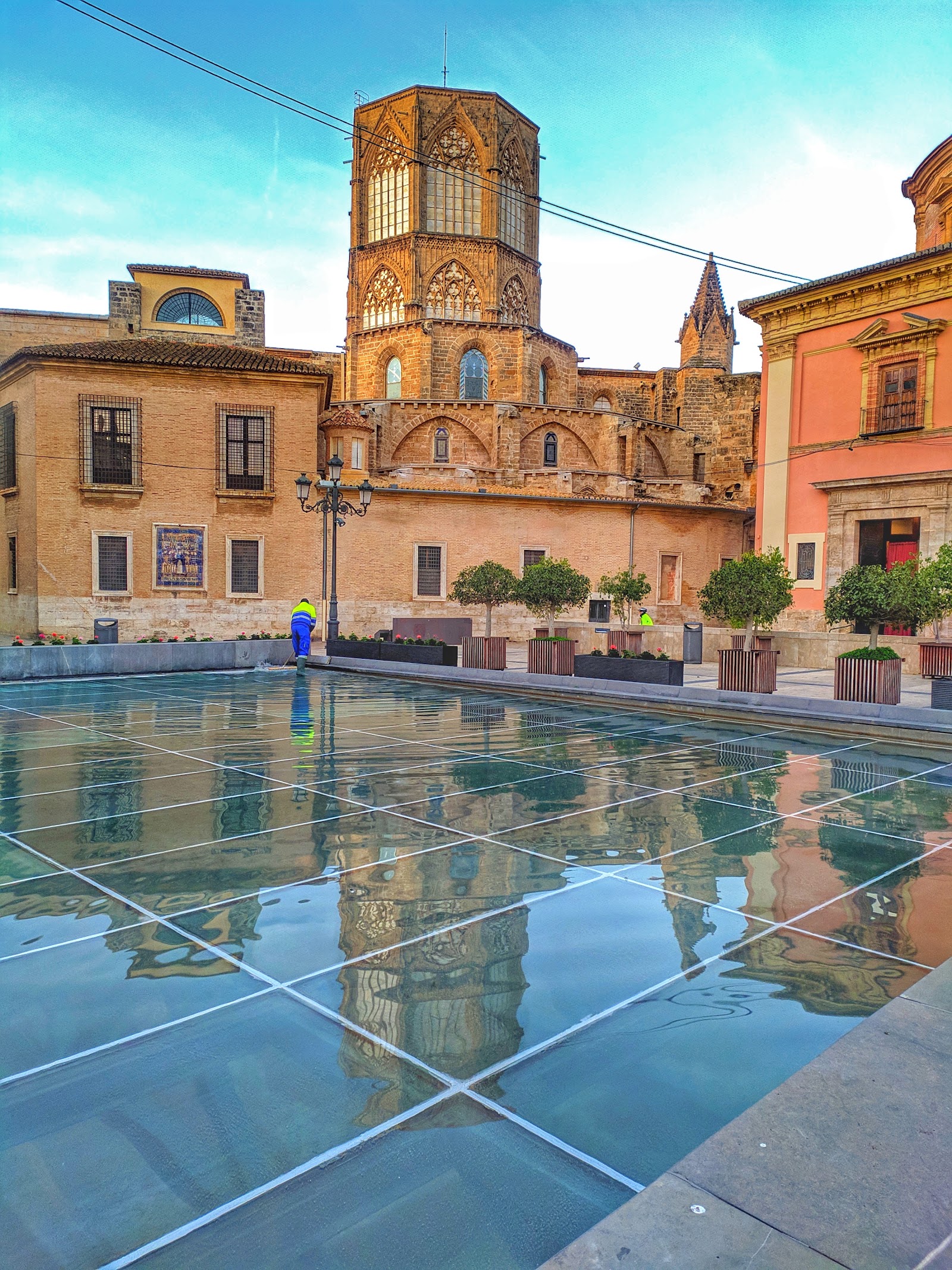
Barrio del Carmen is the kind of neighbourhood where you can press your hand against a wall and be touching the 11th century. Two medieval fortifications bracket the district — a Muslim wall to the east, a Christian one to the west — and the streets between them have been continuously inhabited since Valencia's earliest days as an Islamic city. Today those same alleys hold a converted convent turned contemporary art museum, a church whose painted vault drew comparisons to the Sistine Chapel, and a trompe-l'oeil cat house with an inscription dating its feline residents to 1094.
It's also the neighbourhood that nearly didn't survive. The 1957 Turia flood gutted streets and commerce alike, leaving buildings empty enough that artists could afford them. The art schools on Calle del Museo pulled in a generation of Valencian painters and intellectuals from the mid-1960s onward, and that creative occupation is part of why the fabric of the place held.
💛 What travellers fall for
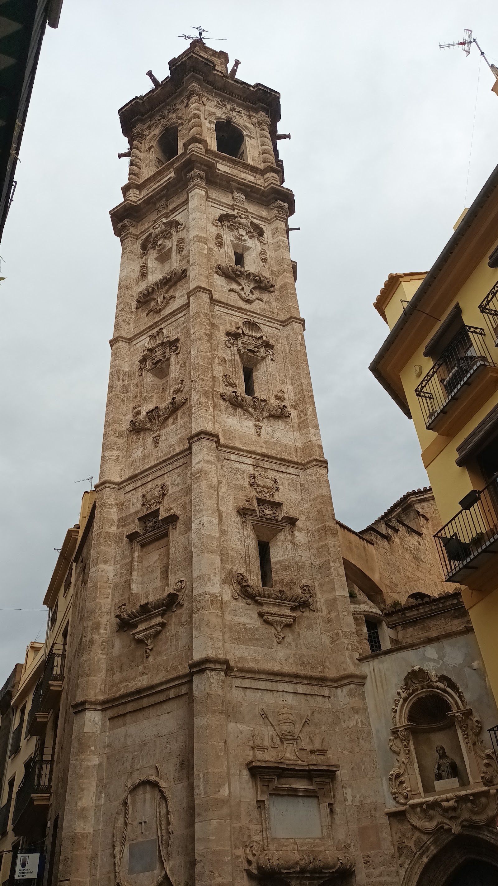
People who come back tend to navigate by landmarks rather than GPS — the maps give up in the tighter alleys. They find the Portal de la Valldigna early, then let the streets unspool from there. The Torres de Quart, with Napoleon's cannonball scars still pocked into the stone, rewards a slow look most visitors don't give it.
The story behind Barrio del Carmen
The district takes its shape from two acts of wall-building separated by three centuries. Abd al-Aziz ibn Amir raised the first fortification in the 11th century around what was then the outer suburb — the arrabales — of a Muslim city. Jaime I's Christian reconquest in 1238 absorbed the neighbourhood, and in 1356 a new defensive wall went up to the west, enclosing the Convento del Carmen Calzado (founded 1281) within city limits and fixing the boundaries that still define the barrio today.
The convent gave the neighbourhood its name. The Portal de la Valldigna, cut through the older Arab wall, became the entrance to the Moorish quarter where Muslim residents continued to live after the reconquest. That layering — Islamic suburb, Christian walled city, flood-damaged ruin, artist colony — is still readable in the streets if you move slowly enough.
Good to know
No metro stops sit inside the neighbourhood; Túria and Àngel Guimerà on Line 1 are your closest bets, or the Pont de Fusta tram stop puts you 500 metres from Torres de Serranos. A Valenbisi bike covers the perimeter fast, but inside you'll want to be on foot. Autumn brings the most rain; summer afternoons are hot.
Spring and early summer are the most comfortable seasons to walk the neighbourhood's narrow streets, with mild temperatures and manageable crowds. Autumn is the rainiest period; the narrow alleys can feel close and damp, though the light has its compensations. July and August push into the low 30s Celsius — the stones hold the heat well into evening.
Where is Barrio del Carmen?
Location
- In Valencia
- 39.4760, -0.3810
- Open in Google Maps
More tickets & tours for Barrio del Carmen
Book directly at the provider
More of Valencia
Discover where to stay, what to do and the best deals for your trip.
Explore Valencia →More attractions in Valencia
All of Valencia →
Background adapted from Wikipedia (CC BY-SA) · map data © OpenStreetMap contributors · ratings & place photos via Google · other photos with per-image credit. Ticket links may earn us a commission at no extra cost to you.