
Barrage Vauban
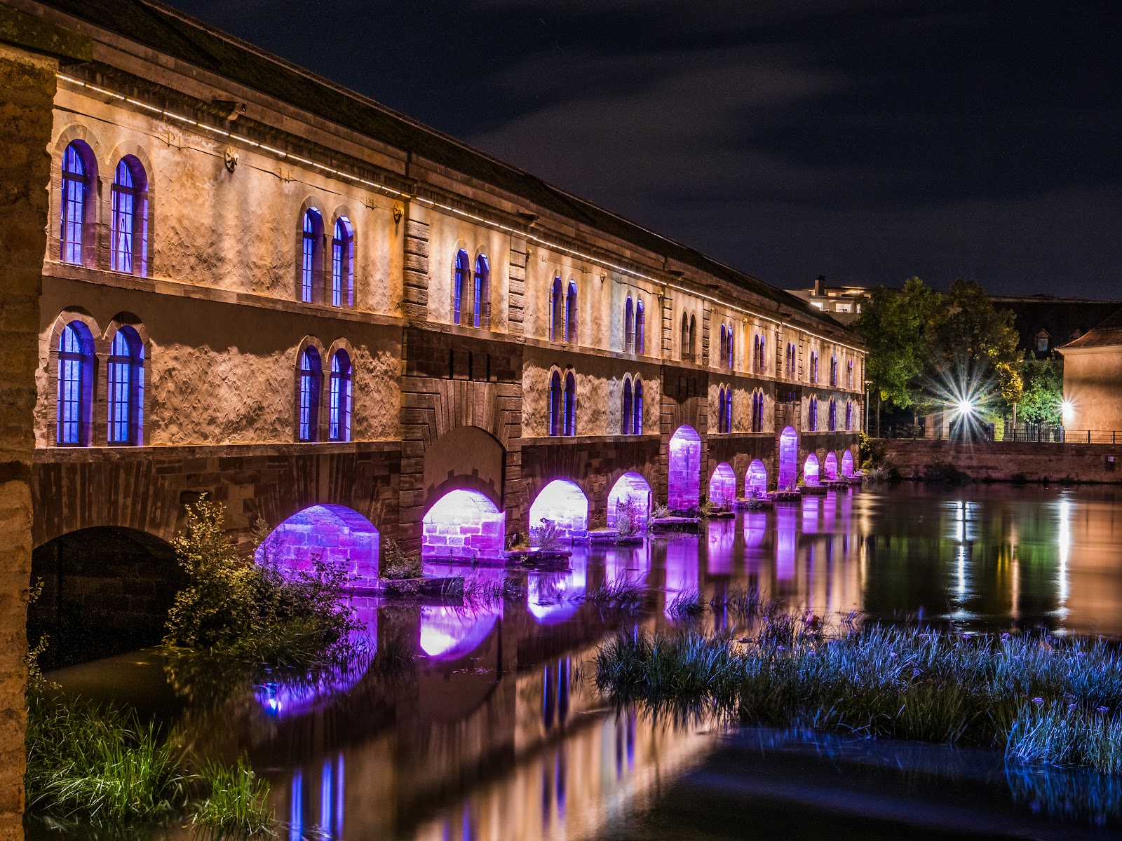
A seventeenth-century dam that doubled as a weapon: the Barrage Vauban was built between 1686 and 1690 to flood the southern approaches to Strasbourg at a moment's notice, turning the flat lands beyond the city into an impassable inland sea. The mechanism was used in anger just once, during the Prussian siege of 1870, when the suburb of Neudorf went under water.
Today you walk the full 120-metre length of its pink Vosges sandstone corridor for free, past plaster casts of gargoyles and statues salvaged from the Cathedral and the Palais Rohan, and ride an elevator to a rooftop terrace that looks out over the Ill and the city's roofline.
💛 What travellers fall for
People who come back tend to time it for early morning in summer, when the terrace is nearly empty and the light is low and flat across the water. The lapidarium inside — easy to walk past without noticing — rewards a slow look; the stone copies of Cathedral gargoyles are stranger and more detailed than you expect at eye level.
The story behind Barrage Vauban
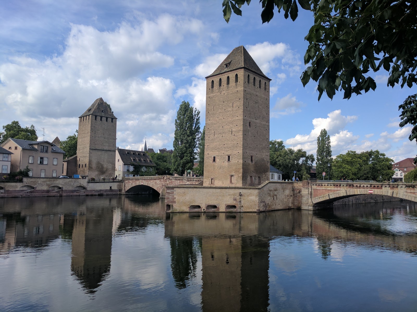
Strasbourg's medieval defences were already outdated by the time France took the city in 1681, and Louis XIV tasked his foremost military engineer, Sébastien Le Prestre de Vauban, with rebuilding them from the ground up. Vauban drew up the plans for the dam; his on-the-ground director, Jacques Tarade, oversaw construction between 1686 and 1690. The structure — originally called the Grande Écluse, the Great Lock — spans the Ill on thirteen arches, three of which lift on drawbridges to allow river traffic through.
For almost two centuries it sat in reserve, its flooding capacity untested. When Prussian forces besieged Strasbourg in 1870, the sluices were finally opened and Neudorf flooded. The building was classified as a Monument historique in 1971, and a major restoration between 2010 and 2012 added a green roof and reinforced the structure against flood erosion.
Good to know
Take tram Line A or D to Porte de l'Hôpital for a short walk to the entrance. Admission is free, and an elevator reaches the terrace. Allow 30 minutes at pace, an hour if you linger. Note that the barrage closes for renovation in the first half of 2026 — worth checking before you go.
The terrace is fully exposed, so winter visits — when hours shorten to a 4 p.m. close — can be raw and grey. Late spring through early autumn gives the longest opening windows and the clearest sightlines; summer mornings especially, before heat haze builds over the water.
Where is Barrage Vauban?
More tickets & tours for Barrage Vauban
Book directly at the provider
What travellers say about Barrage Vauban
There is a otopark close here. After go out you reach to here and you can walk through this building. Until 17:00 you can go up and see the marvelous view and take picture like me. You should start to walk from here if you have a rise plan to Strasbourg. I hope you all see this antique city....Have fun
Near to petite france, this covered bridge doesn't have much inside but the terrace ontop has fantastic views back across the city. Totally free to visit and climb to the roof terrace with a beautiful view back on the city. Worth it to enjoy the view.
Really beautiful view! Enjoyed walking around and honestly, it was cooler than I thought. The beautiful views, the water, and the history behind it made the walk really enjoyable and memorable. Great experience 👍
If Victor Hugo were wandering around Strasbourg at night, he’d probably pause at Barrage Vauban, stare dramatically into the distance, and declare it “very poetic” before continuing his walk. Barrage Vauban really shines after dark. The lighting reflects beautifully on the water, the city feels calm, and it’s one of those spots where you naturally slow down, lean on the railing, and pretend you’re in a postcard. The view of the canals and nearby bridges is especially striking at night and well worth a stop on an evening stroll. It’s not a place you need to spend hours at, but it’s perfect for a short, scenic pause—ideal for photos, people-watching, or simply enjoying the atmosphere. During the day it’s interesting; at night, it’s memorable. Four stars because it’s more of a “wow, that’s lovely” moment than a full-blown attraction. Still, if you’re in Strasbourg after sunset, skipping Barrage Vauban would be a very un-poetic mistake. 🌙✨
Nice view of Strasbourg. Peaceful and beautiful scenery. Should visit during the day and evening time. Free entry.
More of Strasbourg
Discover where to stay, what to do and the best deals for your trip.
Explore Strasbourg →More attractions in Strasbourg
All of Strasbourg →

Background adapted from Wikipedia (CC BY-SA) · map data © OpenStreetMap contributors · ratings & place photos via Google · other photos with per-image credit. Ticket links may earn us a commission at no extra cost to you.