
Al-Qurna
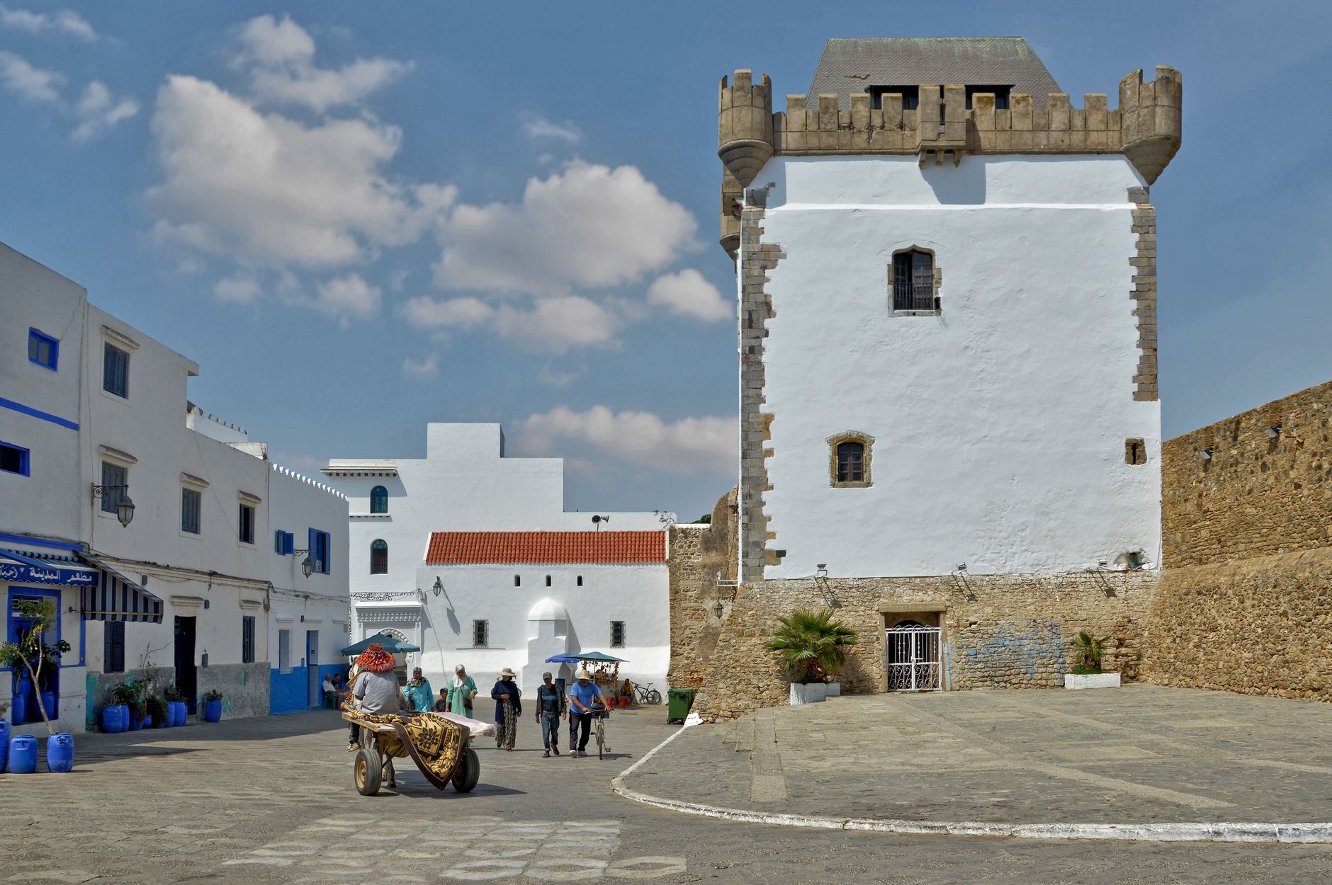
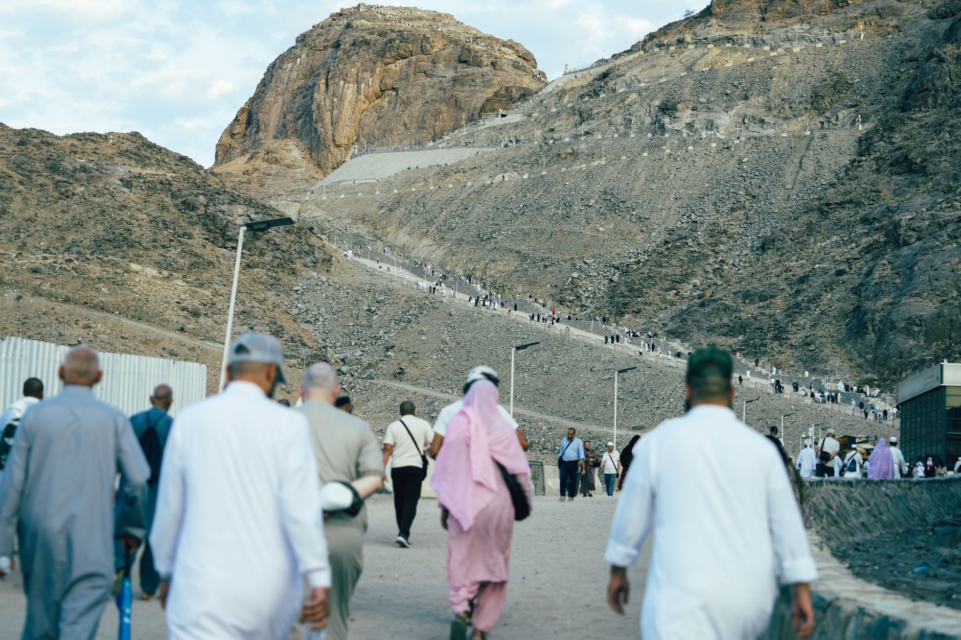
Al-Qurna is a place that no longer fully exists, which is part of what makes it worth understanding. For more than two centuries, families lived on the lower slopes of the Theban hills among tombs of many periods — building mud-brick houses into the hillside, sometimes directly above burial chambers. Between 2006 and 2009, nearly all of it was demolished. What remains is the Sheikh Abd el-Qurna necropolis rising to 170 metres, a scattering of Hassan Fathy's architectural experiment nearby, and a particular kind of quiet that comes to places after people leave.
The hill itself still anchors the landscape. The earliest tombs here date from the second half of the 11th Dynasty. The tomb of Sheikh Abd el-Qurna, which gives the hill its name, is the reason travellers still find themselves climbing.
💛 What travellers fall for
People who come back tend to arrive in the low-angle light of early morning, before the West Bank tour groups reach the necropolis road. The remnant mosque from Hassan Fathy's New Qurna is worth finding — it stands on the main road between the Colossi of Memnon and the Nile, and the proportions of it tell you more about Fathy's intentions than most written accounts do.
Experiences you don't want to miss



Deals in Al-Qurna
Book directly at the provider

How Al-Qurna came to be
The name Qurna appears in Western records as early as 1668, when two Capuchin missionary brothers, Protais and Charles François d'Orléans, mentioned it while travelling through Upper Egypt. By 1825, the traveller Edward William Lane found it abandoned; resettlement seems to have begun in the late 1840s, according to accounts by Isabella Frances Romer. Over the following century and a half, hamlets spread along roughly three kilometres of hillside, clustered in family groups, built partly on salt-stone foundations that dissolved in humidity and required constant repair.
In the late 1940s, Egyptian architect Hassan Fathy was commissioned to build a new village — New Qurna — midway between the Colossi of Memnon and the Nile, designed so that no two houses were alike and residents shaped their own furniture and interiors. The project was never fully embraced by the community it was built for. By 2010, what remained of it was placed on the World Monuments Watch List of Most Endangered Sites. The old hillside village was demolished between 2006 and 2009.
Who and what shaped it
People who shaped it
Landmark buildings
See Al-Qurna in motion
Plan your visit
On the map
When to go
The desert classification is not an abstraction here — annual rainfall averages 3.5mm and July afternoons reach 41°C. Visit between October and April, when daytime temperatures sit between 23°C and the low 30s and the light on the Theban hills is at its most legible.
Right now
Background & history adapted from Wikipedia (CC BY-SA) · specs from Wikidata (CC0) · weather from Open-Meteo · map data © OpenStreetMap contributors · photos from Wikimedia Commons / Unsplash with per-image credit. No third-party reviews or social posts reproduced.