
Airlie Beach
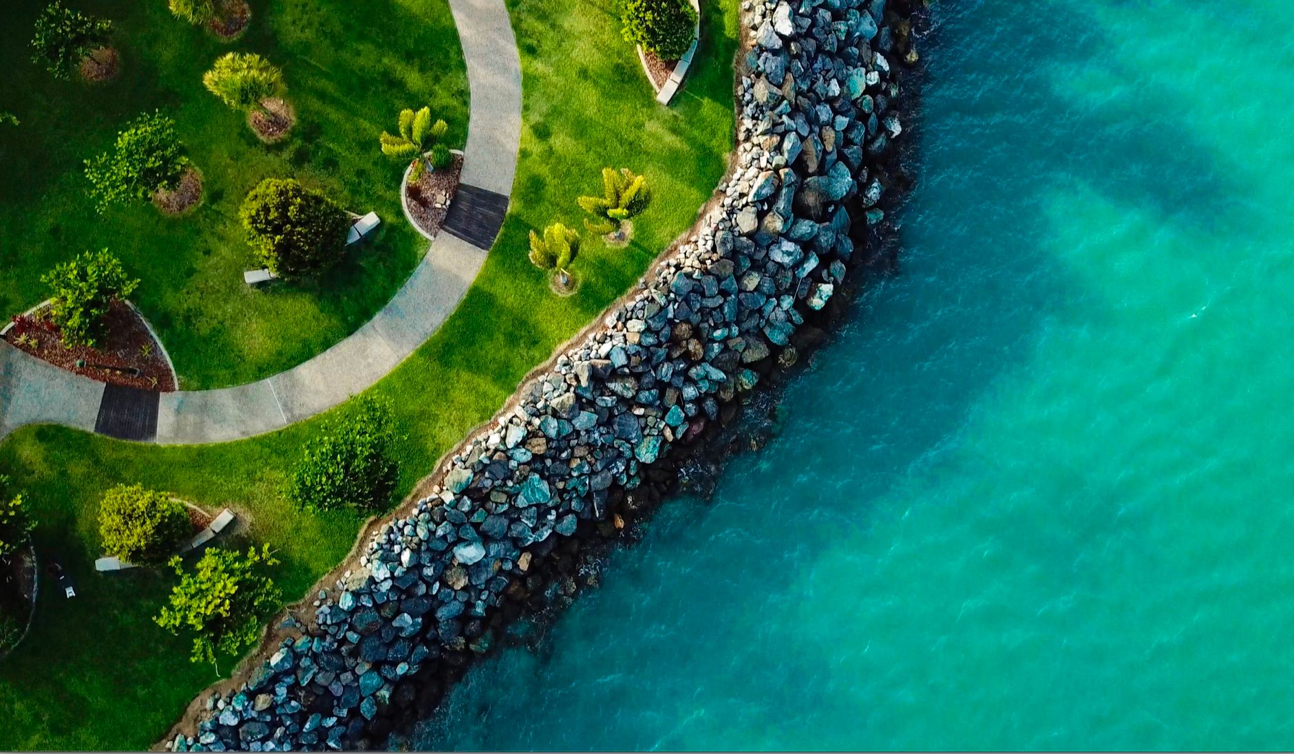
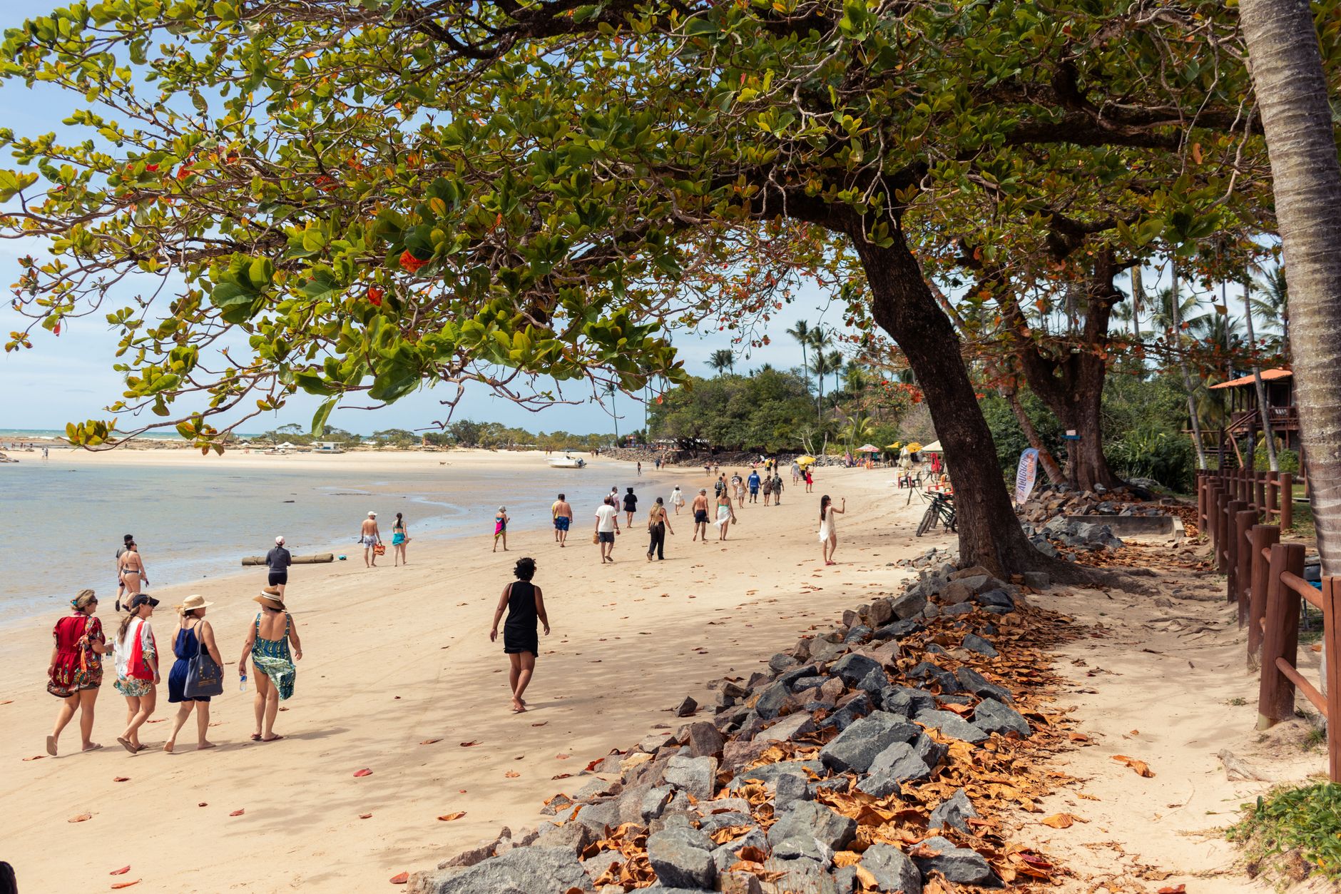
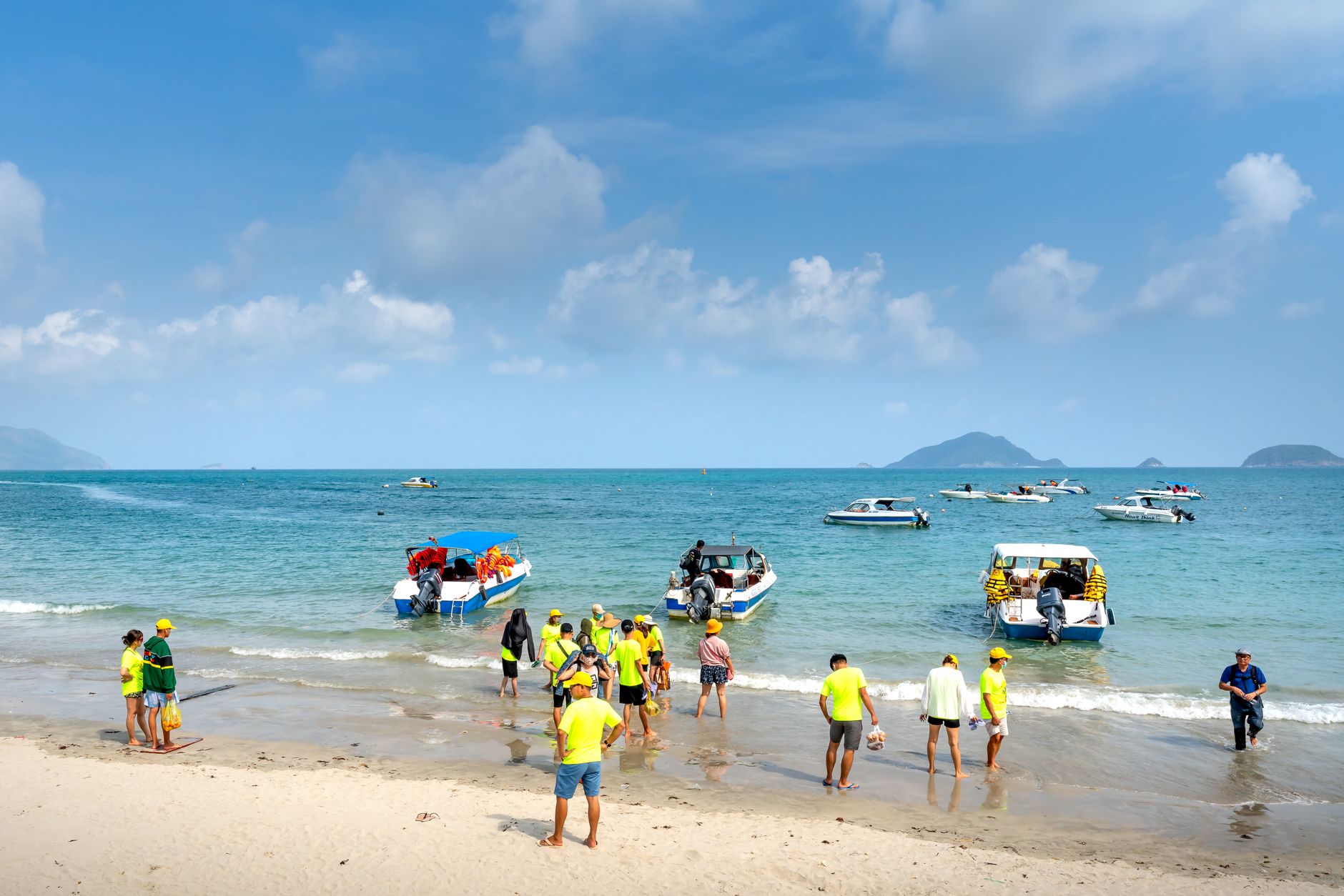
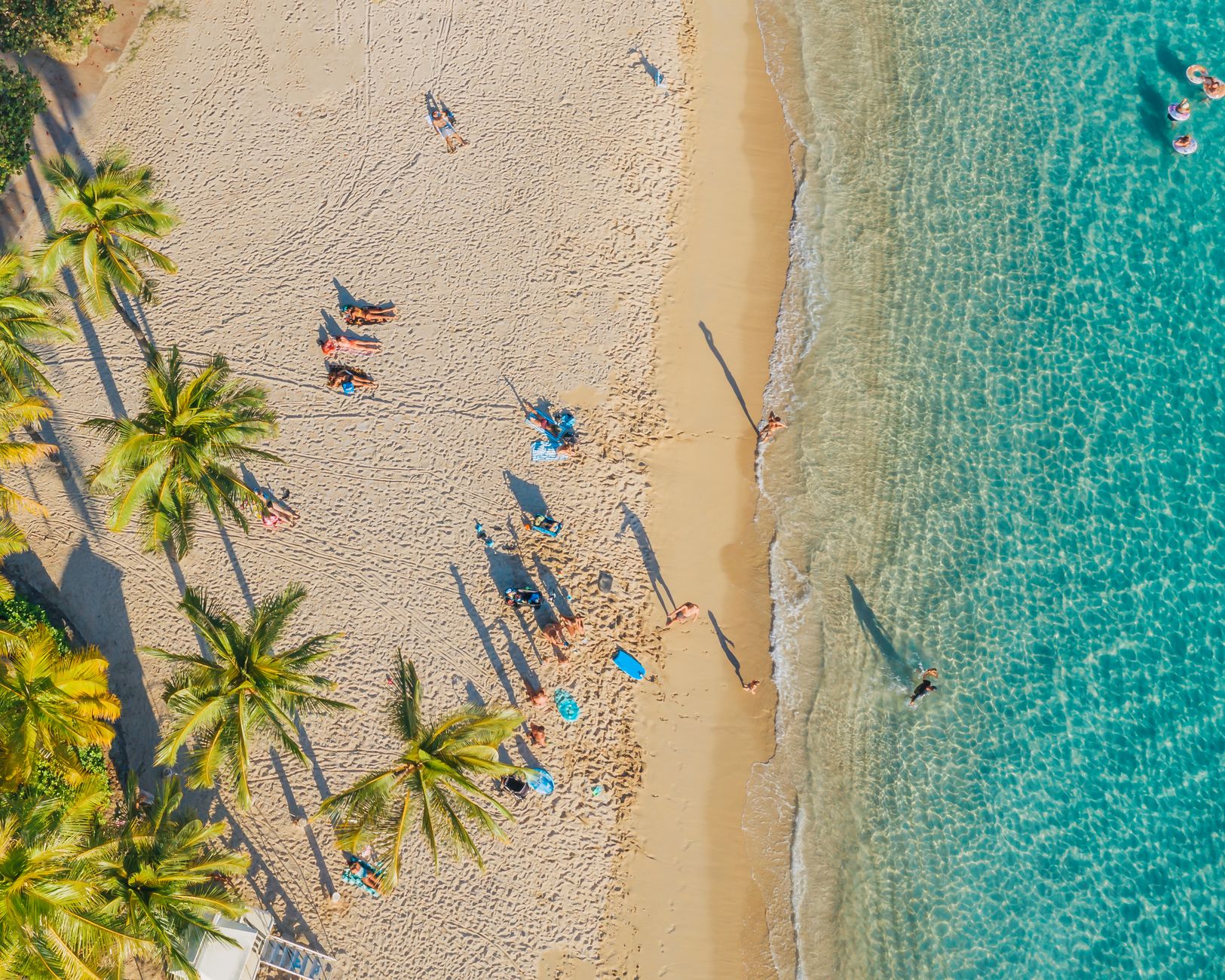
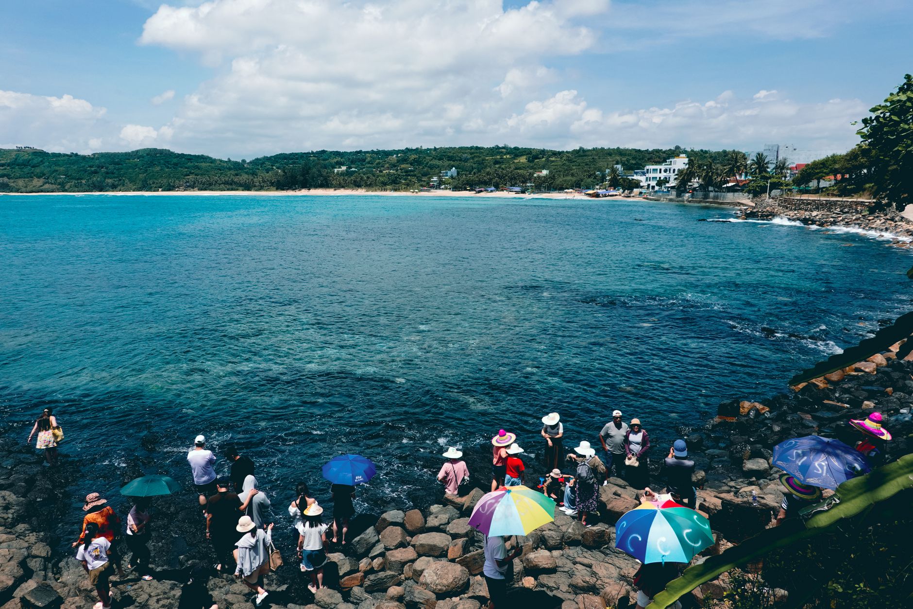
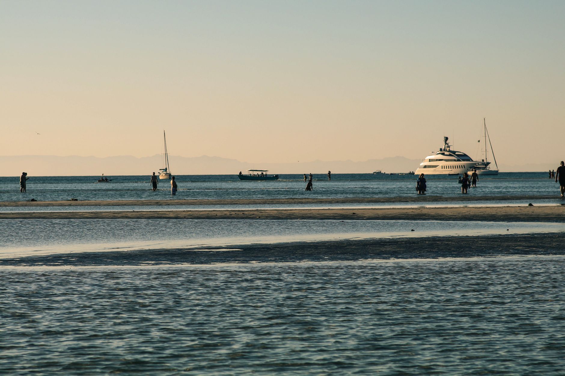
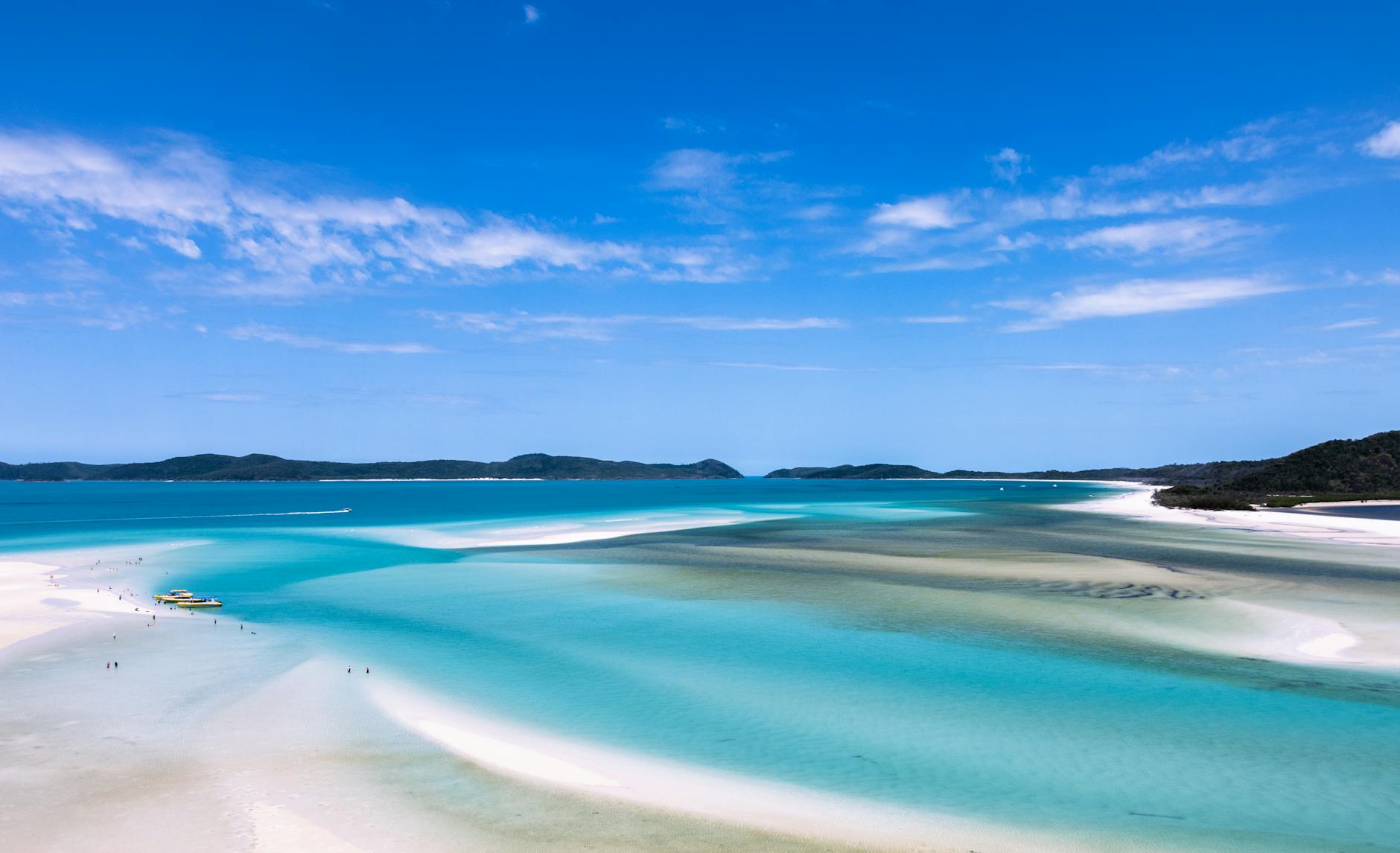
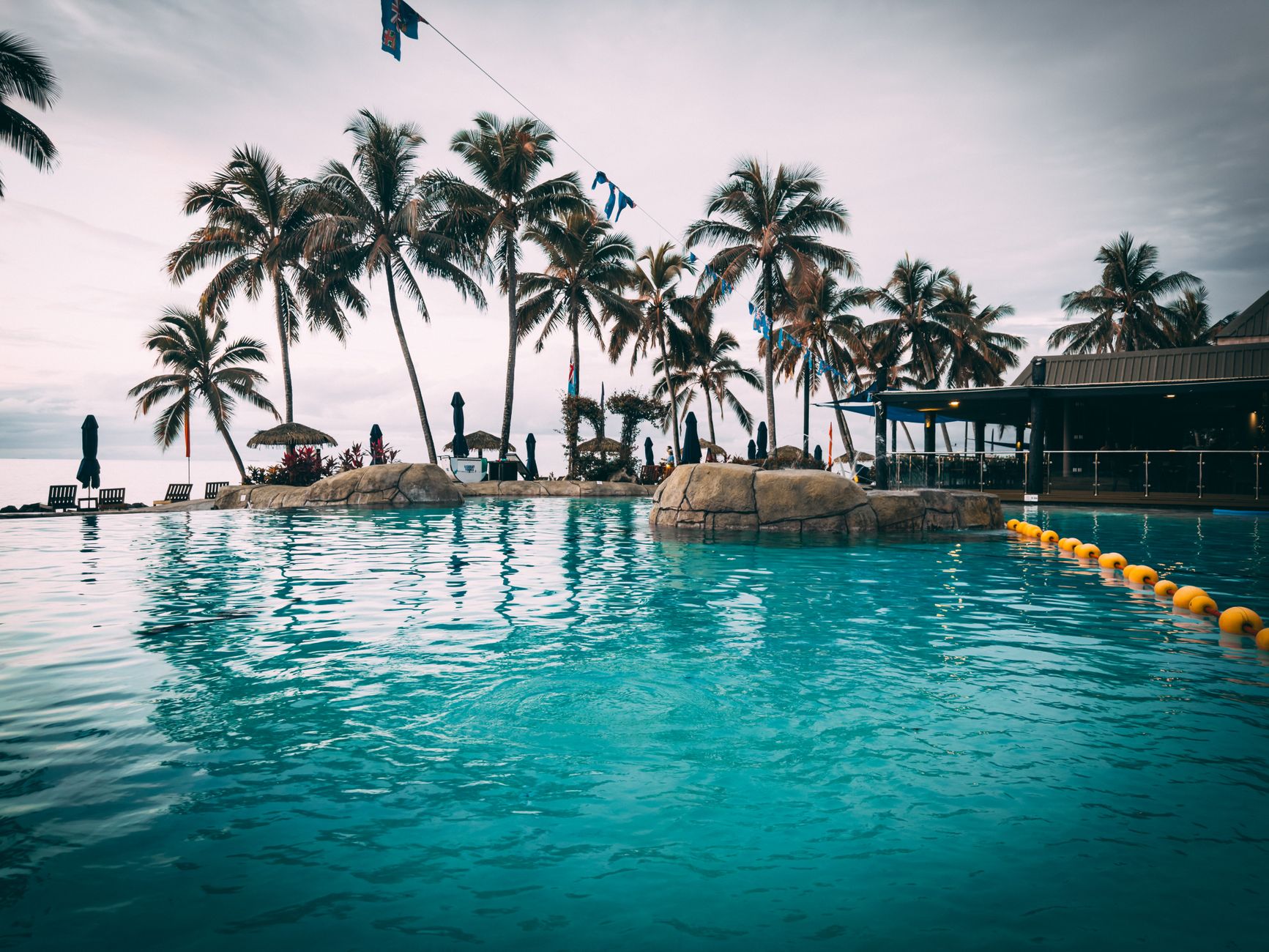
Airlie Beach is, by census count, a town of just over 1,300 people — yet its main street moves at a pace that number can't quite account for. It sits at the edge of the Coral Sea, facing the Whitsunday Islands, and most people treat it as a launching pad. That's not wrong, but it undersells the place itself: the lagoon with its stinger-free pools open to the reef-warm sky, the Bicentennial Walkway threading four kilometres out to Cannonvale Beach, the marina where boats come and go at all hours.
The town is compact enough to walk end to end before breakfast, with restaurants and bars strung along the foreshore and a rhythm that loosens noticeably after dark. Each August, Airlie Beach Race Week draws sailors from across the region. Each November or December, around 3,000 school leavers arrive and the population temporarily multiplies.
💛 What travellers fall for
People who come back tend to time it for the dry season — June through September — when the air sits around 25°C and the stinger risk in open water drops. They'll tell you to walk the Bicentennial Walkway early, before the heat builds, and to use the lagoon in the afternoon when the light turns the water gold. The Coral Sea Marina, a short walk from the main strip, is quieter than the foreshore for a meal.
Experiences you don't want to miss


Deals in Airlie Beach
Book directly at the provider
How Airlie Beach came to be
The land here was taken up as early as 1904, when Thomas Abell began growing vegetables and tropical fruit on what was then unnamed coastal scrub. The town itself came into focus in December 1935, when Robert Shepherd — chairman of the Proserpine Shire Council and a Scotsman born near the Parish of Airlie in Montrose — proposed the name for this new locality. The Department of Public Lands put 18 allotments to auction in 1956; a post office followed in 1959; Shute Harbour opened in 1961.
For most of its early life the place was simply called Airlie. It wasn't until 1987 that Airlie Beach became the official locality name. The lagoon — now central to daily life in town — was a 2001 addition, built to give swimmers a safe alternative to stinger-prone coastal waters.
Who and what shaped it
People who shaped it
Landmark buildings
See Airlie Beach in motion
Plan your visit
On the map
When to go
May through October brings the most reliable conditions: daytime temperatures between 23°C and 27°C and very little rain, with September averaging just 18 mm across four days. From January to March the wet season arrives in earnest — February can deliver over 250 mm — and cyclone risk is real; marine stingers in open water are a hazard from October through May.
Right now
Background & history adapted from Wikipedia (CC BY-SA) · specs from Wikidata (CC0) · weather from Open-Meteo · map data © OpenStreetMap contributors · photos from Wikimedia Commons / Unsplash with per-image credit. No third-party reviews or social posts reproduced.